Just finding this section of the forums. Central FL here, Mt. Dora area. I live about 15 minutes from ONF and hit it regularly with two buddies and our families. Happy to join any runs or show anyone around ONF.
Anyone new to the area, or considering a trip to ONF, you should really download the free iOS app "Avenza Maps". You can then search inside the app and download (also free) "Motor Vehicle Use Map Ocala National Forest". It will show you every legal road, trail, or area in ONF, and track as you go like any other map app. Aside from being an excellent navigation tool, it will also prevent you from venturing off into places that will get you a near $400 ticket.
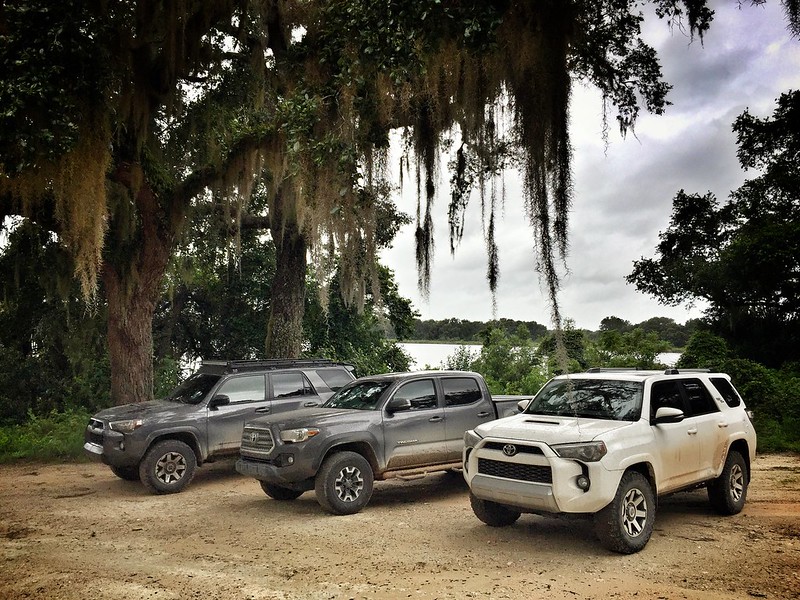
The normal crew, from a few weeks ago... Two '18 TRD OR's and a '16 TRD Taco.
Quick screenshot of Avenza maps, after a Sunday solo run with the family.


 Linear Mode


