Quote:
Originally Posted by mcox522

I'm definitely pointed in the right direction, I just thought this could be a place for others to look at experiences other than what are on websites which can be misleading.
Most of us that do this kind of exploring already have books and such, but it's nice to hear actual experiences, updated trail conditions, and unique pictures, especially with other T4R members.
No problem with not having GPS coordinates, I haven't been tracking them either. Besides, most of them can be found in books or online, however still nice to have.
|
Okay...sorry I'm not the kind of help you're looking for.

JFYI...the Bulldog Canyon permit will also get you into two other trails (though do NOT go into the NFS office asking about them)....one is Hubtastic (very difficult) and the other is one of my favorites for scenery....down and back trail....called Willow Springs. Has a little area known as "Mini-Moab"....not really like Moab other than there are domes.
Turn off and locked gate (need the Bulldog Canyon permit gate codes) are just past Goldfield Ghost town. Once you go through the gate, you'll wind down a hill to the wash. In the wash, you can turn left or right....left takes you to Mini-Moab....the rest of the trail is right (down stream). Pretty much stay in the wash (except where you have to get out obviously) and you're on the trail.
The reason why I just listed the trails is b/c most of the good trails around here require you to have someone who's been there take you. It's one thing to post GPS coordinates.....but it all depends on the person making the way points as to how lost you get trying to stay on the actual trail. More importantly, you shouldn't venture out into the desert here without a second vehicle should something happen....from break downs to accidents to injuries....and just as importantly, someone who's been there likely knows the best lines to get your vehicle through without damage.
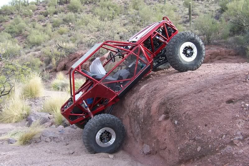
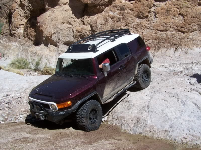
Here's the MiniMoab area....
Optional lines:
https://youtu.be/EgUUdaUYN2Y
[IMG]
~original[/IMG]
[IMG]

~original[/IMG]
[IMG]

~original[/IMG]
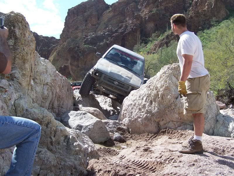
This is an optional line near where the NFS map says the trail ends.
[IMG]

~original[/IMG]
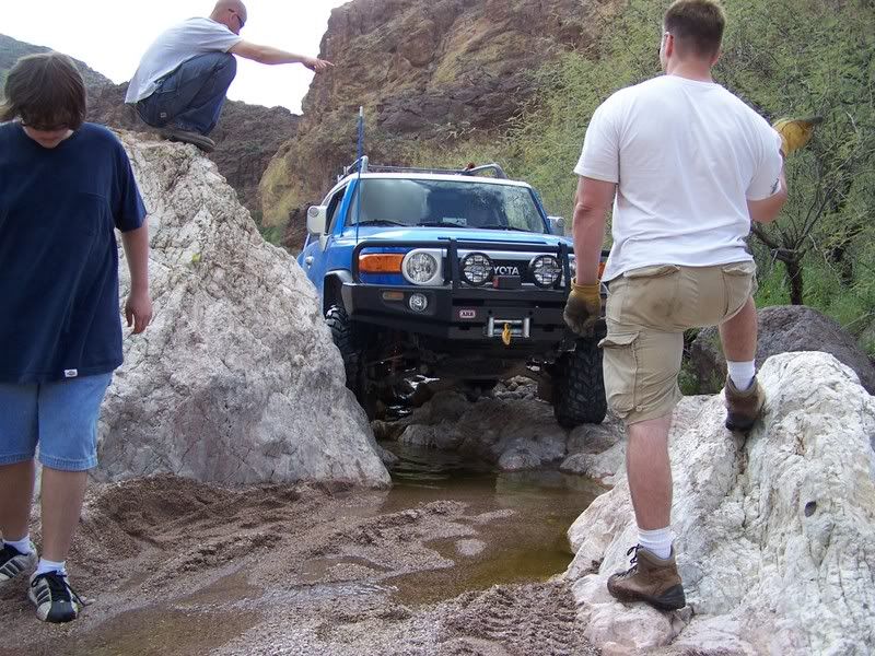
And this is less than a hundred feet past it:
[IMG]
~original[/IMG]
NFS says the trail ends here....but you can actually go all the way down to Saguaro lake if you just keep going in the wash. The further down you go, the harder the trail gets.....and you have to come back up just about anything you go down....JFYI. The canyon itself is very pretty.
Lots of optional lines:
[IMG]

~original[/IMG]
[IMG]

~original[/IMG]
Optional line....there are two other ways around this. One is super easy.
[IMG]
~original[/IMG]
2nd hardest line:
[IMG]
~original[/IMG]
These are just pics of the beginning of the trail......that first part I've shown pics of is only rated about a 3. It gets up to a solid 4-4.5 further down.


 Linear Mode


