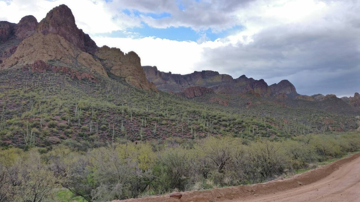
Arizona Off-road Trails

mcox522

New member
I want to start this thread to consolidate information on places to off-road in Arizona from easy to difficult trails. Anyone familiar with this region knows there are many great places to go. Arizona is a unique place because summertime offers great mountains trails and winter time offers great valley trails only a few hours apart from each other. So what do you say, let's build a collection of great places to go in Arizona!


I know some won't want to share their favorite trail or location especially on the internet and that’s fine, but if you could please share the general area. GPS coordinates are great and even road numbers or directions or links. Maybe even show just a picture and name of your place if you like.

Life is short so let's live it up and enjoy it while we can.


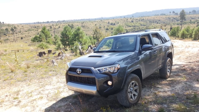
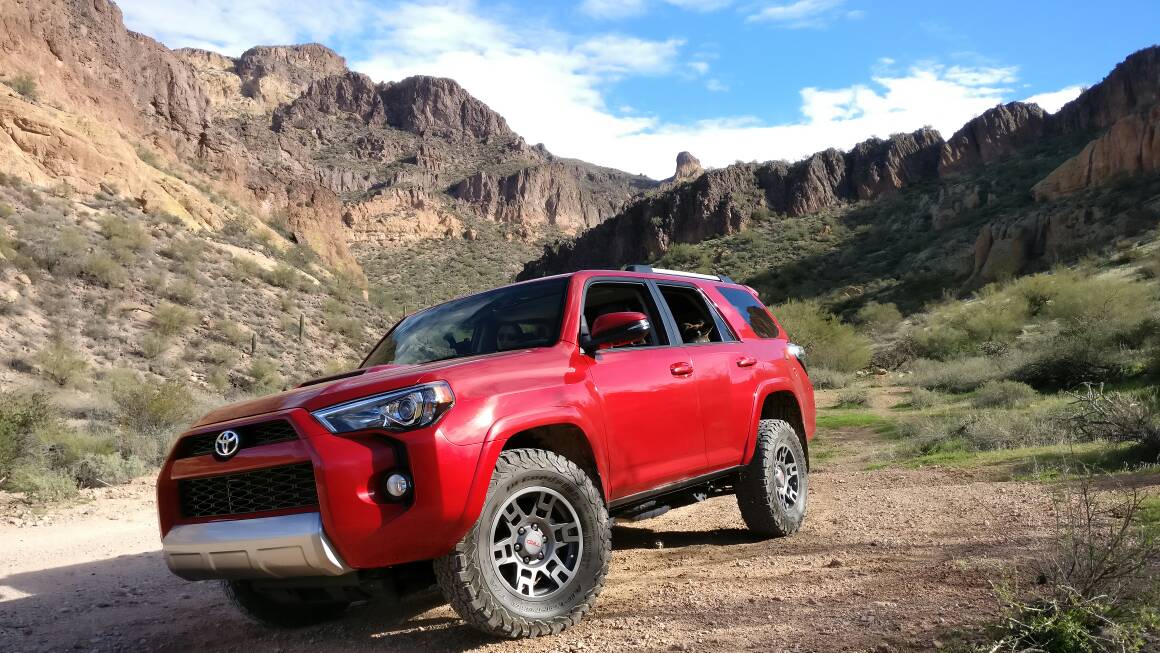
Here's a recent trail I did. It's been one of my favorites so far and near a very popular area in the summertime for tubing on the Salt River.


Bulldog Canyon: requires FREE permit


Resource I used:
https://www.amazon.com/Guide-Arizona-Backroads-4-Wheel-Drive-Trails/dp/1934838195


Other Information:
Default (I have no affiliation with website)


Additional Notes:
If coming from Usery Pass, first part of trail goes through wash area with great views with wild horse sightings possible(we saw about 7). Expect some light pinstriping from the numerous brush guarded banked turns in the wash area. After the wash and continuing on road 10 it gets rocky. I did it with no problem in my stock Trail with 265 K02s, however good tire placement is key. Go slow, take your time, and enjoy the amazing scenery. I finished at the Wolverine entrance and am doing the rest of the trail this weekend, heading east towards Superstition Mountains. The trail can range from easy to moderate depending on trail maintenance. When I went last weekend I would say it was moderate.

Let's gather some info!
9e119242952f272050f915060406b40b.jpg
 
Last edited:
Register to hide this ad
Awesome idea! AZ is within reach of a lot of us CO guys and we all appreciate some different scenery. You may want to get [MENTION=66316]1engineer[/MENTION] to move this the the general section. There you will probably get a lot more responses because it won't be limited to 5th hen guys. Also, we need more pics. Your Runner looks good as hell.

EDIT: actually, this should probably be in the "vehicles with curved windshields" forum.
 
Last edited:
I'm interested what will come out of this thread, I have explored the southern area of Arizona south of Tuscon and found some good rock crawling.
 
Great idea on the thread!

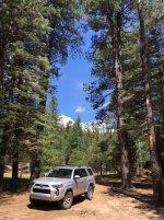
Mogollon Rim - Forest Road 300. Lots of great views and easy off-road for stock setups (especially highway tires).

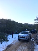
Montana Mountain (close to Superior AZ) - I took a chance on my stock Dunlop's but aired down properly and went especially slow in the rocky areas. This is an amazing moderate difficulty trail. The switchbacks are incredible and my mostly stock TEP handled it better than I could imagine. Kept it in 4low and atrac especially in the snow/slush/mud coming down the switch backs. Can't wait until I actually get a proper tire setup.
 

Attachments

  • Mogollon Rim AZ.jpg
    Mogollon Rim AZ.jpg
    86.4 KB · Views: 2,605
  • IMG_1794.JPG
    IMG_1794.JPG
    119.8 KB · Views: 2,680
Awesome idea! AZ is within reach of a lot of us CO guys and we all appreciate some different scenery. You may want to get [MENTION=66316]1engineer[/MENTION] to move this the the general section. There you will probably get a lot more responses because it won't be limited to 5th hen guys. Also, we need more pics. Your Runner looks good as hell.

EDIT: actually, this should probably be in the "vehicles with curved windshields" forum.

How about I move it to the regional sections?
 
Too many to list.....but in the Phoenix area alone....Florence Junction area: Box Canyon, Martinez (hike only now....unless we open a back way in...which looks possible), Upper Woodpecker, Upper and Lower Ajax Mine trail, Highway to Hell, Broken Ankle, Xstacy, Elvis, Bad Medicine, Axle Alley, Orville's Loop, Montana Mountain, Coke Ovens...just to name a few.

Table Mesa area: Upper and Lower Terminators, Anaconda, Die Hard, Predator, Annihilator, Collateral Damage, Matrix...just to name a few

Four Peaks/Sycamore Creek area: Back way into "Secret Cove" at Saguaro Lake and No Limits

Payson: Upper and Lower Skull Crusher, Payette Draw (and many others)

I think most of the trails in the White Tanks are now closed.....haven't been in years so can't say for sure.
 
Too many to list.....but in the Phoenix area alone....Florence Junction area: Box Canyon, Martinez (hike only now....unless we open a back way in...which looks possible), Upper Woodpecker, Upper and Lower Ajax Mine trail, Highway to Hell, Broken Ankle, Xstacy, Elvis, Bad Medicine, Axle Alley, Orville's Loop, Montana Mountain, Coke Ovens...just to name a few.

Table Mesa area: Upper and Lower Terminators, Anaconda, Die Hard, Predator, Annihilator, Collateral Damage, Matrix...just to name a few

Four Peaks/Sycamore Creek area: Back way into "Secret Cove" at Saguaro Lake and No Limits

Payson: Upper and Lower Skull Crusher, Payette Draw (and many others)

I think most of the trails in the White Tanks are now closed.....haven't been in years so can't say for sure.
Thank you for the list. My intent was for people to post pics, tips, directions, etc. to help others out when the go. If you have some that would be great to share. If not, thank you for the long list.

Sent from my ONEPLUS A3000 using Tapatalk
 
Awesome idea! AZ is within reach of a lot of us CO guys and we all appreciate some different scenery. You may want to get [MENTION=66316]1engineer[/MENTION] to move this the the general section. There you will probably get a lot more responses because it won't be limited to 5th hen guys. Also, we need more pics. Your Runner looks good as hell.

EDIT: actually, this should probably be in the "vehicles with curved windshields" forum.
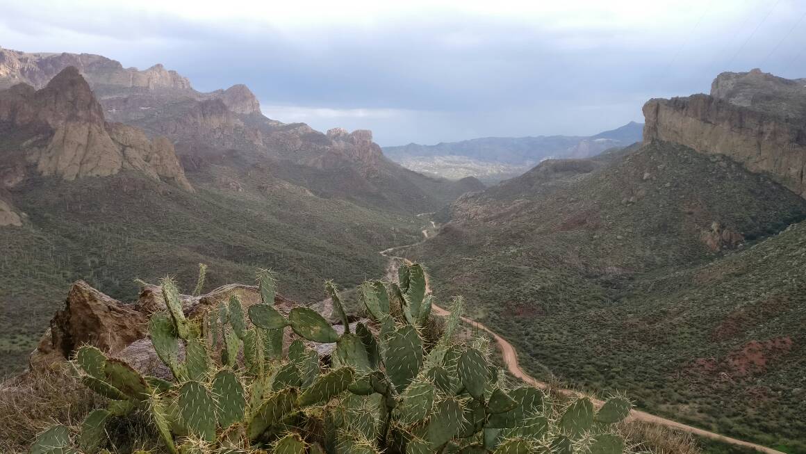
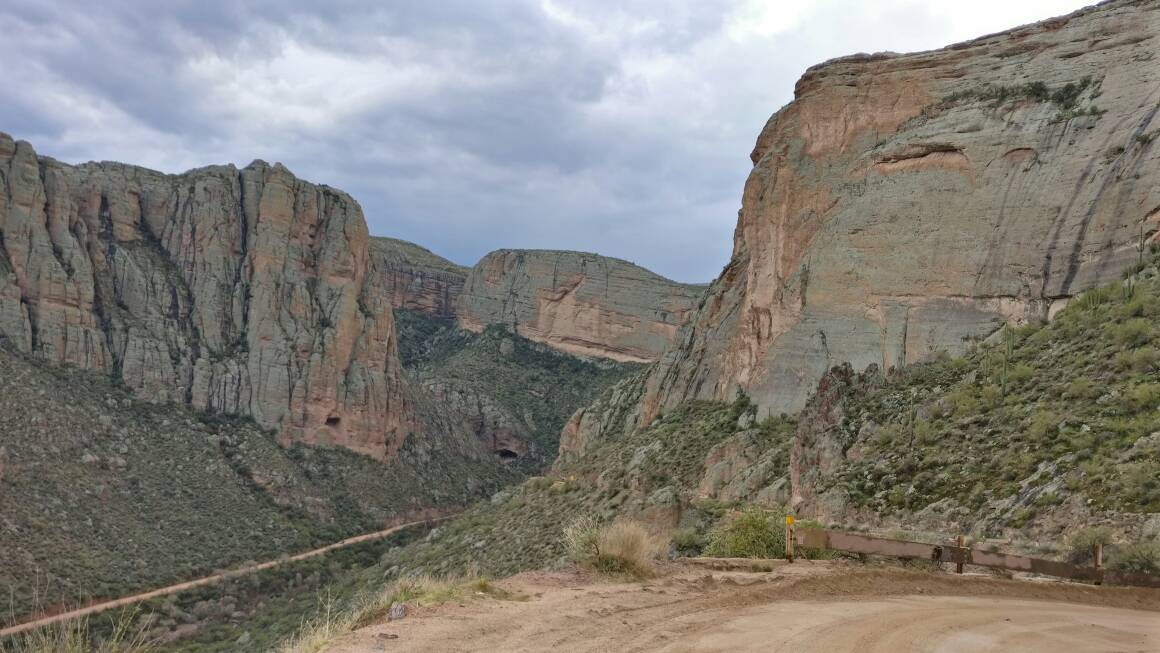
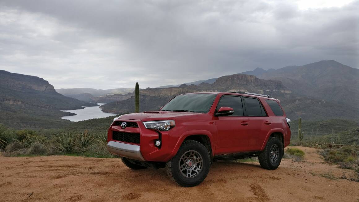
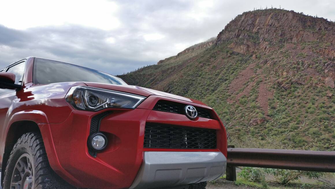
So we did Apache Trail this weekend because there was rain in the forecast. It's an easy trail, I didn't put it on 4wd once. Still, the scenery was amazing and it was a good time. I continue to be amazed by the desert scenery every time I go out.
4d1347212b4ea89cf1df5384156f90bd.jpg
63d9c57651c28ce652a8e65b9a18ee0d.jpg
2772d823fa8811e5734cb1aa617aa54e.jpg
594cf4c21e07150e1042b7228f71fde6.jpg
ec58ec8c7a6103b3700dc53b23dc0331.jpg
 
Last edited:
Thank you for the list. My intent was for people to post pics, tips, directions, etc. to help others out when the go. If you have some that would be great to share. If not, thank you for the long list.

Sent from my ONEPLUS A3000 using Tapatalk

I don't have any GPS #s....and most trail descriptions can be found via a Google or YouTube search.

Hopefully the list will get you pointed in the right direction.
 
I don't have any GPS #s....and most trail descriptions can be found via a Google or YouTube search.

Hopefully the list will get you pointed in the right direction.
I'm definitely pointed in the right direction, I just thought this could be a place for others to look at experiences other than what are on websites which can be misleading.

Most of us that do this kind of exploring already have books and such, but it's nice to hear actual experiences, updated trail conditions, and unique pictures, especially with other T4R members.

No problem with not having GPS coordinates, I haven't been tracking them either. Besides, most of them can be found in books or online, however still nice to have.
 
I'm definitely pointed in the right direction, I just thought this could be a place for others to look at experiences other than what are on websites which can be misleading.

Most of us that do this kind of exploring already have books and such, but it's nice to hear actual experiences, updated trail conditions, and unique pictures, especially with other T4R members.

No problem with not having GPS coordinates, I haven't been tracking them either. Besides, most of them can be found in books or online, however still nice to have.


Okay...sorry I'm not the kind of help you're looking for. :(

JFYI...the Bulldog Canyon permit will also get you into two other trails (though do NOT go into the NFS office asking about them)....one is Hubtastic (very difficult) and the other is one of my favorites for scenery....down and back trail....called Willow Springs. Has a little area known as "Mini-Moab"....not really like Moab other than there are domes.

Turn off and locked gate (need the Bulldog Canyon permit gate codes) are just past Goldfield Ghost town. Once you go through the gate, you'll wind down a hill to the wash. In the wash, you can turn left or right....left takes you to Mini-Moab....the rest of the trail is right (down stream). Pretty much stay in the wash (except where you have to get out obviously) and you're on the trail.

The reason why I just listed the trails is b/c most of the good trails around here require you to have someone who's been there take you. It's one thing to post GPS coordinates.....but it all depends on the person making the way points as to how lost you get trying to stay on the actual trail. More importantly, you shouldn't venture out into the desert here without a second vehicle should something happen....from break downs to accidents to injuries....and just as importantly, someone who's been there likely knows the best lines to get your vehicle through without damage.

Here's the MiniMoab area....

Optional lines:

https://youtu.be/EgUUdaUYN2Y

100_1998.jpg
[/URL]~original[/IMG]

100_1012.jpg
[/URL]~original[/IMG]


100_1040.jpg
[/URL]~original[/IMG]

This is an optional line near where the NFS map says the trail ends.

100_1108.jpg
[/URL]~original[/IMG]

And this is less than a hundred feet past it:

100_1115.jpg
[/URL]~original[/IMG]

NFS says the trail ends here....but you can actually go all the way down to Saguaro lake if you just keep going in the wash. The further down you go, the harder the trail gets.....and you have to come back up just about anything you go down....JFYI. The canyon itself is very pretty.

Lots of optional lines:

100_1122.jpg
[/URL]~original[/IMG]

100_1125.jpg
[/URL]~original[/IMG]

Optional line....there are two other ways around this. One is super easy.

100_1145.jpg
[/URL]~original[/IMG]

2nd hardest line:

100_1155.jpg
[/URL]~original[/IMG]

These are just pics of the beginning of the trail......that first part I've shown pics of is only rated about a 3. It gets up to a solid 4-4.5 further down.
 
Last edited:
Oh, and as you can tell from the pics, I enjoy showing people areas they haven't been to before....so open invite to anyone in the area if they want to head out to a particular trail. I may need a little notice as I'm still building the 4Runner and most of my weekends are booked up with fab projects. But, we're half way through the wheeling season in the Valley....so by around mid-late April it'll be too hot, so if you want to hit one of these trails, in the next few months is the time.
 

Members online

No members online now.

Forum statistics

Threads
278,310
Messages
3,554,080
Members
248,016
Latest member
Advally Service

Trending content

Back
Top