Our family just successfully completed the WABDR on Wednesday, August 17th in our 2001 3rd Gen. I just wanted to share with the entire T4R community, not just the 3rd gen section, a little bit about the trip and to open this thread up for those that have also completed, anticipate completing, or have done sections of the WABDR. I think this could be a great resource for those wishing to do it later on. I'm also posting some videos on Youtube as I develop them. My channel is:
Rock_Rat Youtube Channel
Enjoy...
Welcome to my journey over the WABDR or, the Washington Backcountry Discovery Route. The WABDR runs nearly 600 miles from the border of Oregon to the town of Nighthawk on the Canadian Border. This six-day route runs parallel with the beautiful Cascade mountain range through some of the most rugged and beautiful landscapes in Washington State. The metamorphosis of my 3rd gen began two years ago and it was this year, I needed to get out and see how she performs.
I actually live in the middle of the route in Cowlitz County, Wa. I gave it some serious thought about taking 503 up past Cougar and Tire Junction and picking up the route on the backside of Mt Adams. My OCD self just couldn’t take the short cut. Our plan was to leave on Wednesday, August 10th but both of my boys were busy with work and internships. I was so thankful for that extra day! It gave me an opportunity to make my limb risers and figure out the puzzle pieces in the rear cargo space. Both boys caught the last flight in from Seattle to Portland on Wednesday evening for an early morning departure the following day. I was more excited than they were, because once again, we were given an opportunity to spend our vacation together as a family. My wife and I cherish these moments as we know they will become scarcer as they get older. As a father, it also gave me great pleasure knowing that my boys would be working together as a team with one driving and the other navigating. Only fathers can understand the immense amount of satisfaction this brings.
Thursday morning came so quickly, yet not fast enough. I spent the past weeks doing some logistical preparations, keeping an ever watchful eye on the fire near Lake Chelan, picking up the required Forest passes, paper maps, downloading and installing the GPS tracks on my Garmin GPS.
@
A.Wilson013
turned me on to the Gaia GPS App so I decided it wouldn’t hurt to install it and load the GPS tracks on my Samsung Tablet as a backup. Little did I know it would become my primary source of navigation as my Garmin GPS was sporadic at best. Many of the 3rd gen guys contributed to my success.
Day One: Section 1 - Stevenson to Packwood
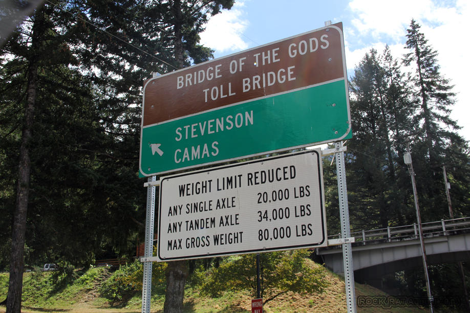
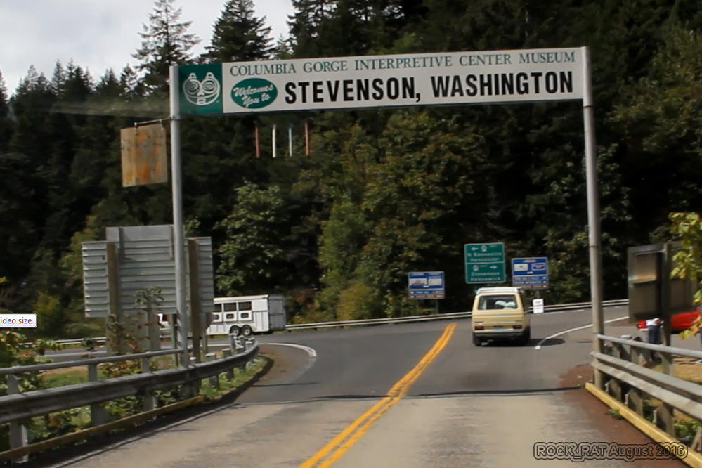
Living in SW Washington, I've lost track of the number of times I've been across the Bridge of the Gods. It never gets old. Every time is more spectacular than the next.
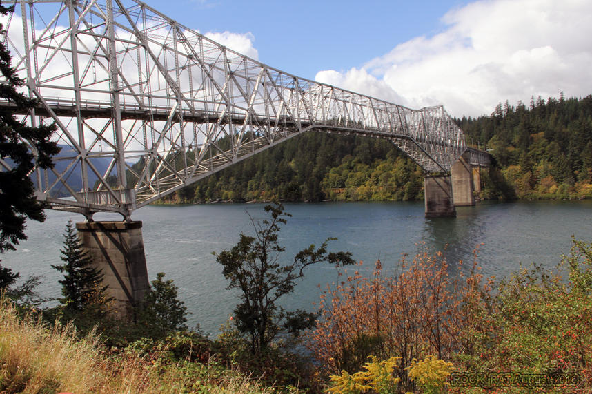
The great Columbia River joining Washington and Oregon is a majestic site. I can only imagine what Lewis and Clark felt when they came to this splendid area for the first time.
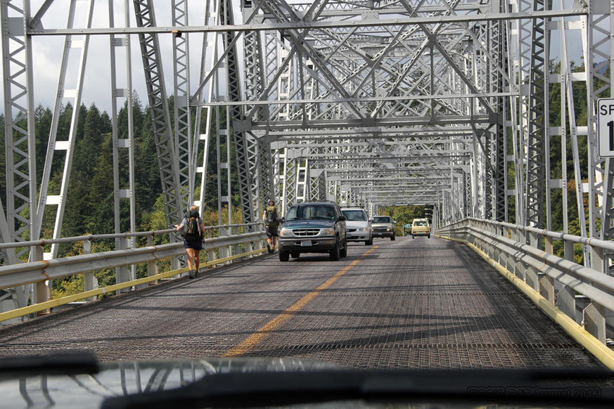
The Bridge of the Gods is also part of the Pacific Crest Trail bringing hikers from Oregon to Washington or visa versa. What an incredible site to see as PCT hikers continue on their journey across the bridge. We beeped the horn and gave them a big thumbs up.
Although I could have taken SR 14 from my place to Stevenson, I just felt it would have been "cheating" the route. I had this need to do it from the official start across the river in Oregon via the Bridge of the Gods to Stevenson all the way to Canada. Now it's official!
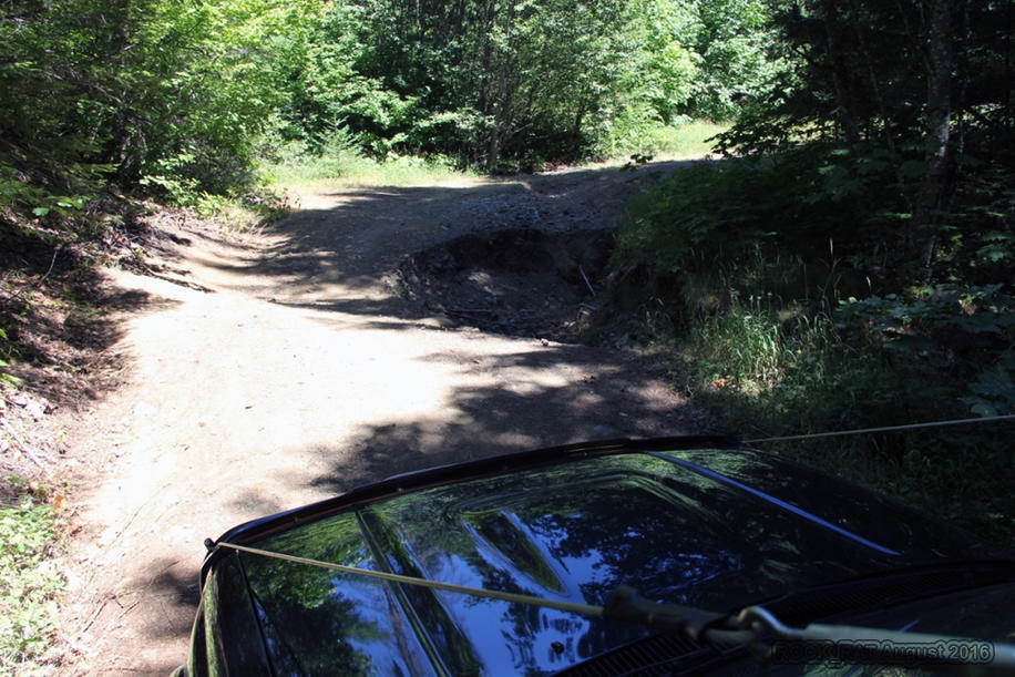
Wow! Our first challenge along the way! OK, nothing to get too excited about but hey, there's hope. My wife and kids insisted we take a picture of this first obstacle.
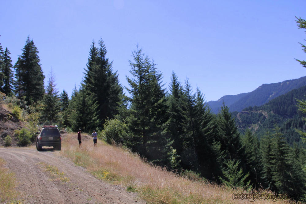
The first of many gorgeous views taken from the west side of the Cascades. Notice how green everything is on the west side. When you hear of average rainfall in Washington, it's important to remember that west of the Cascades it rains and is incredibly lush while east of the Cascades is predominately dry and brown.
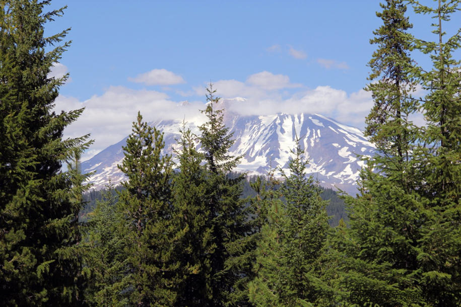
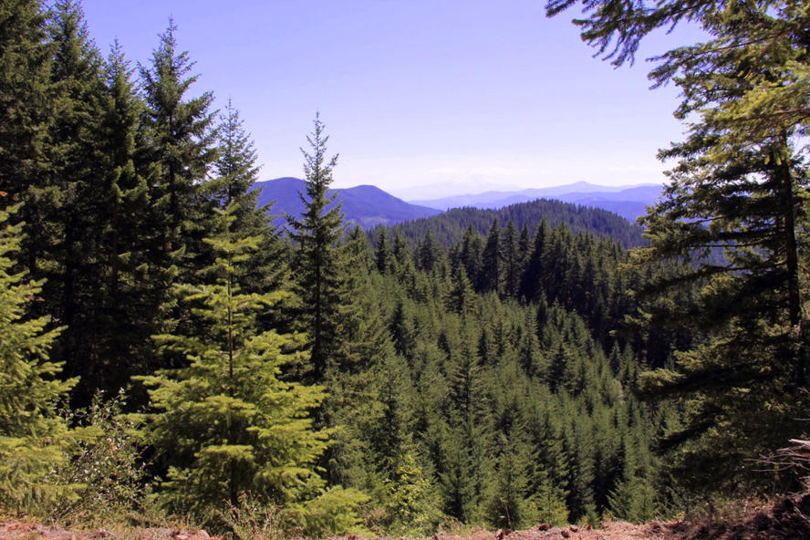
Our first fairly decent view of Mt Adams (You can barely see it) as we began our journey towards Trout Lake and eventually on to Packwood.
It had been a couple of years since I visited Mt Adams. The last time I was there it was with a climbing buddy. We attempted to climb the north face but the route was really falling apart. It was during one of the hottest summers on record. The time before that was with my family. We hiked all the way to Lunch Ledge and almost to the "false summit" before turning back. I think we'll climb it again next year along with Mt Rainier.