Day Six: Section 6 - Conconully - Knighthawk (Canadian Border)
When we woke up this morning, we knew this would be the final leg of the WABDR. The distance was much shorter at just 101miles and slightly less spectacular, if that’s even possible, than the previous leg. We were excited knowing that we would be at the Candian border today successfully completing the entire route without having to be re-routed due to fires. We opted to stay at Conconully State Park on an RV pad with running water and electric. I had wished I brought a small collapsible garden hose just to get the dust off the 4Runner so we could access the rear lift gate. Instead, I filled up our large wash basin at least 100 times and “knocked” the dust off the entire rig. I also regretted not bringing a small power strip to charge the camera and video batteries, and the tablet. Especially the tablet with the GAIA GPS map! The small portable 12V inverter that I purchased from West Marine worked fine while driving, however, it was painfully slow.
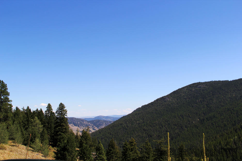
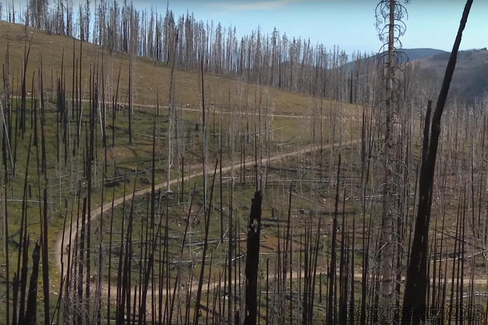
During this leg of the trip, we continued through the Okanogan forest up North Fork Salmon Creek Road on our way to the highest point in the WABDR; Lone Frank Pass at 6700 ft. It wasn’t as exciting or as picturesque as some of the other passes we climbed. I was hoping for an “on-top-of-the-world” vantage point but it just wasn’t there. As we continued through the Okanogan, we wondered if there were any trees that were left unscathed by the fires…mile-after-mile, hour-after-hour, nothing but tall slender burnt trees reaching towards the clouds. After our incident in Cashmere, I frequented the Hella horns a little more often. I knew that this leg would be leg 1 for those opting to complete the route from north to south. Surprisingly enough, we only saw a couple dual sports coming from the north and one local JK travelling the same direction as we were.
Cows. Yup, cows and more cows would aptly sum up the last part of this leg as we headed towards Skull and Crossbones.. We would see cows at elevations you would least expect to see them. We would drive over cattle guards where we least expected. We never did find the old Skull and Crossbow cabin that you see in photos. We saw an old dilapidated cabin that just didn’t make it through the winter. I’m not sure if that was it or not. We were headed towards Nine Mile Creek Road as we left the Toats Coulee Recreation Area. This would eventually bring us between Juniper Point and the Chopaka Mountains as we descended into the small town of Loomis.
According to Wikapedia:
On November 3, 1901, J.M. Haggerty was tarred and feathered in Loomis. He made comments to The Spokesman-Review about the lack of success of the Palmer Mountain Tunnel Company. The comments were resented and a mob was waiting for him when he stepped off the stage. During an impromptu mass meeting, "Suddenly a dozen men grabbed Haggerty, and before half the crowd knew what was happening a bucket of tar and pillows were produced." After half an hour of being paraded through the street covered in tar and feathers, he was released.
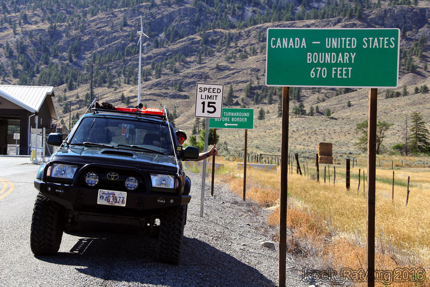
I didn’t know it at the time, but once we were on the paved road, this would be the end of our off-road experience. A drive around Palmer Lake along the Loomis-Oroville road brought us to our final destination of our journey – the US-Canadian border at Nighthawk. Success. What a great journey. I feel so privileged to experience such beauty with my wife and both of my boys in the state I call home – Washington State. We've spent many, many, many hours in our 4Runner since the day we purchased it new back in October 2000. This by far was one of our greatest experiences.
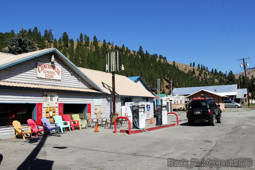
The small town of Conconully with a population of around 190-210. Originally a mining town back in the late 1800's the town was destroyed by fire and floods in the 1890's.
Another view of the Okanogan forest on our last leg.
Miles of charred trees from the fires that decimated acres upon acres of the Okanogan Forest. Here's an interesting link that lists all the
Washington Fires - You will be amazed.
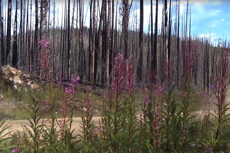
Some regeneration taking place.
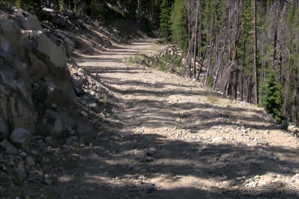
There were a few sections of the road that I couldn't wait to get by. This was one of them. I had visions of rocks crashing down on us as we drove by.
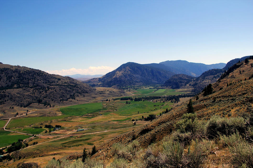
This was an absolutely gorgeous view of Loomis as we finished up our final leg of the route on dirt roads. My wife fell in love with this Fairy Tale setting. There's really no words to describe it.
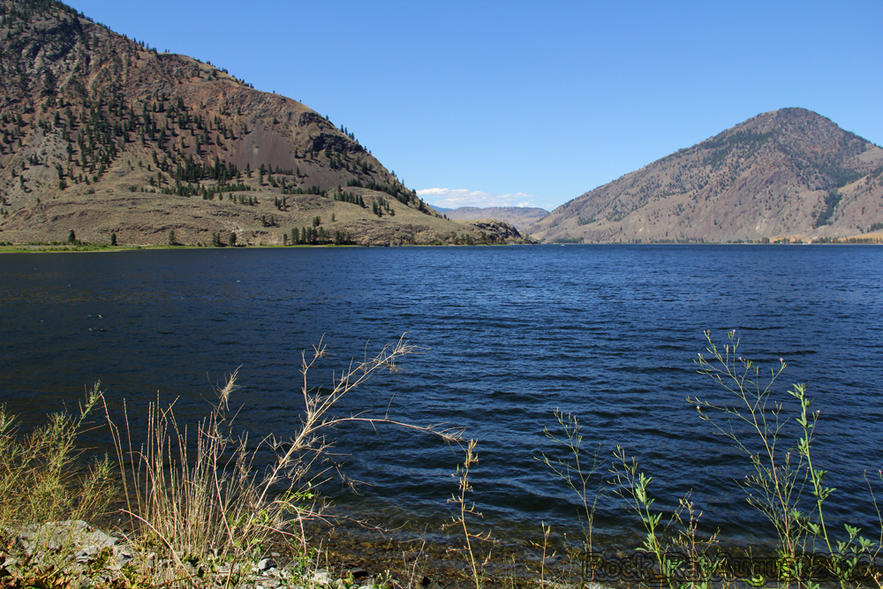
Driving along side Palmer Lake on the Loomis-Oroville road.
Our final stop at the US/Canadian border in the small town of Nighthawk. It was quite the trip for a 4runner with more than 340,000 miles on it.