JohnTheLuck's Adventures Thread

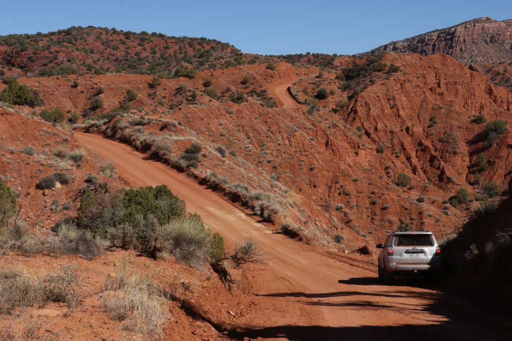
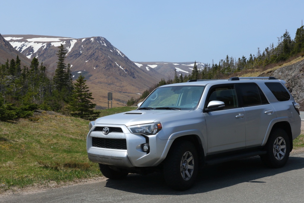
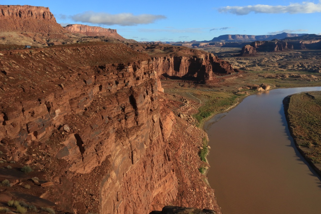
So I decided to start a new thread to document all my trips and adventures with my 4Runner, instead of polluting my slow build thread. The main motivation behind these trips, apart from wheeling in the 4Runner, is hiking and photography within amazing scenery.

Here a list of adventures done so far with the 4Runner:

2016-03 : Southern Utah and Colorado
2016-05 : Newfoundland
2016-10 : Southern Utah and Northern Arizona
2017-08 : Idaho (solar eclipse), Utah, Wyoming, Montana, Washington, Oregon, Colorado
2019-01 : Southern California, Nevada
2020-01 : New Mexico, Arizona
2023-02 : Arizona, Utah, New Mexico
2023-09 : Idaho, Washington, Oregon, Wyoming
2024-02 : New Mexico, Utah, Texas, Arkansas (solar eclipse)

Stay tuned for more!
 
Last edited:
Register to hide this ad
2016-03 : Southern Utah and Colorado

I am just back from Moab. I left with only 158km on the odometer. I was in town during the week before Easter Jeep Safari. We left after one week due to an emergency at home, shortening the trip by a full 4 weeks... Will go back during this fall, hopefully.

So, I drove from Montreal (Canada) to Moab on interstates, did some trails, and back home with mix of highway and interstate. Two adults on-board, loaded with luggage, recovery, and more, running on BFG KO2 275/70-R17 E load on stock rims, spare is also KO2.

Here my fuel consumption (mi/USG). Displayed is from onboard computer, corrected takes in account the tire size difference, calculated is from real fuel volume.

Toward Moab : displayed 17.7, corrected 18.0, calculated 18.7
Around Moab: displayed 15.7, corrected 15.9, calculated 15.9
Leaving Moab: displayed 18.4, corrected 18.7, calculated 19.1


We were able to get a short glimpse of the Safari Madness and time to do some easy or moderate trails since the 4R is still stock, except for KO2 tires:

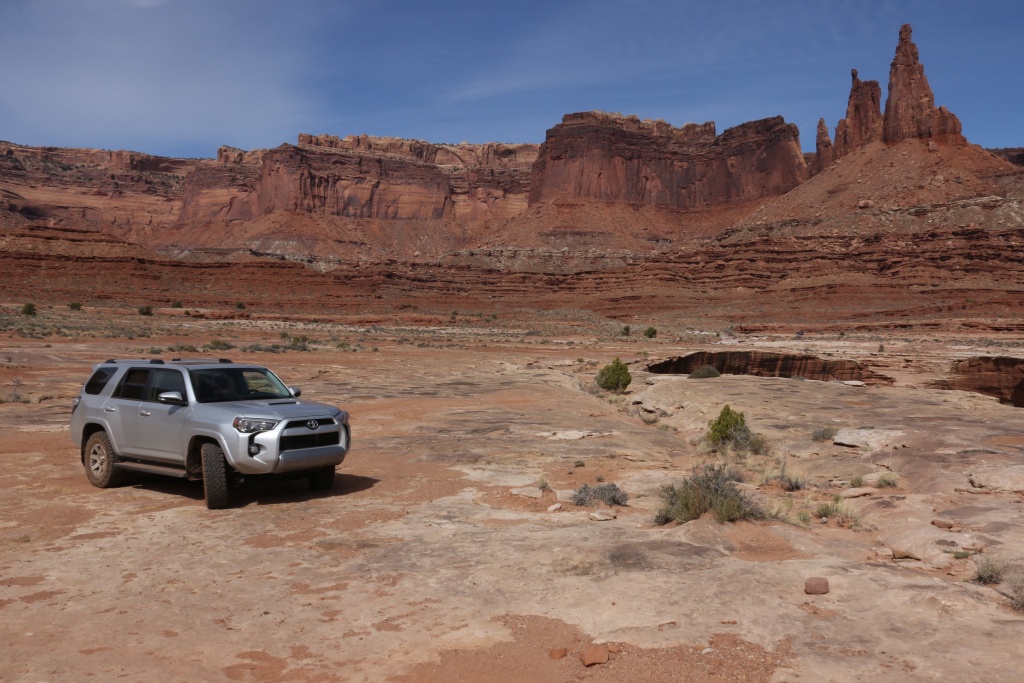
Canyonlands NP White Rim Road, from Shafer Switchback to Monument Basin and back;

37909299371_2155f9523d_o.jpg


Canyonlands NP Lathrop Canyon to the Colorado River. This trail gave me some opportunity to test some gadgets in the deep sand...;

37199809344_e1d0df5665_o.jpg


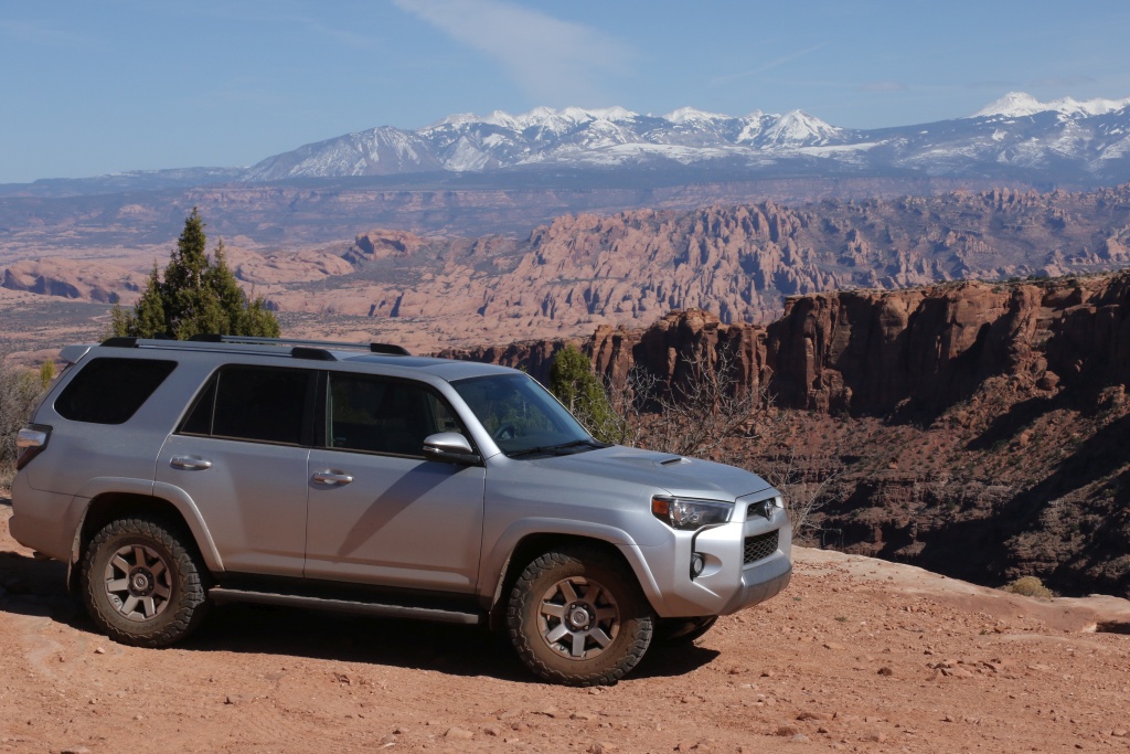
Before going down into Long Canyon, there is a superb view of the LaSal Mountains and Behind the Rocks.

37909298551_3ae2527385_o.jpg


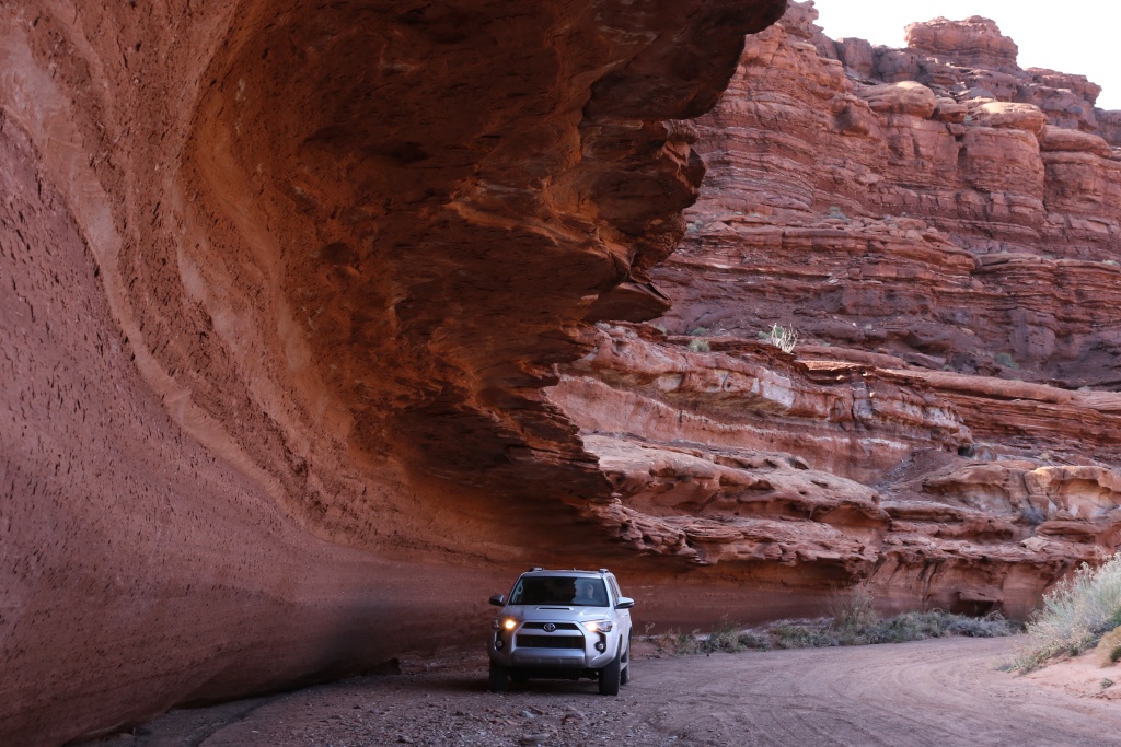
The classic Long Canyon Road;

37199808184_c56bba3e53_o.jpg


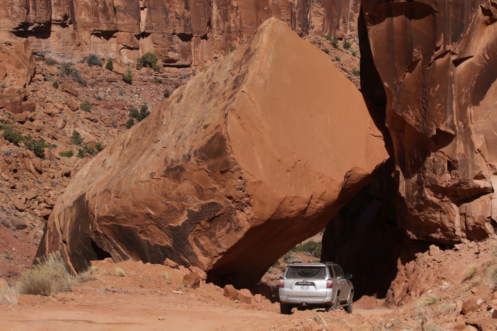
Bull Canyon to Gemini Bridge trailhead;

37909297651_f69a4db87c_o.jpg


Onion Creek Road;

37199806534_fa9d97677d_o.jpg


We also did Spring Canyon, Arches NP Salt Valley Road, and some hiking trails.
.
 
Last edited:
2016-05 : Newfoundland

My wife has been put on a work leave for a temporary medical issue, and we decided to leave for a few days with the 4R to see a part of our country we never visited, Newfoundland. May and June are the best months to see icebergs coming from Groenland and traveling near the northern shore of this big island. This is far from an EPIC trip and is not intended to be on trails. But it makes us thinking what we want the 4R to eventually be.

We left Montreal QC to reach Sydney NS to catch our ferry to Port aux Basques NFL. Our first visit was Gros Morne NP, one of a few places on earth where the earth mantle, rocks below the earth crust, is visible.

37878957272_c78f04c107_o.jpg


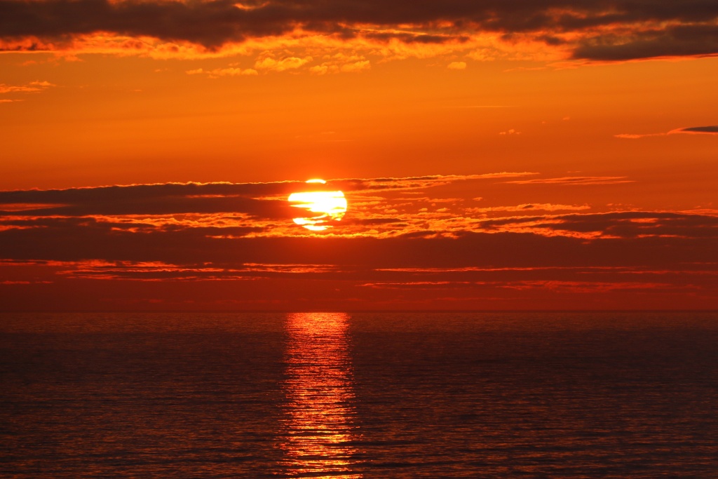
We had many spectacular sunsets, this one from Lobster Cove Head Lighthouse within Gros Morne NP.

37909697141_3156d3730f_o.jpg


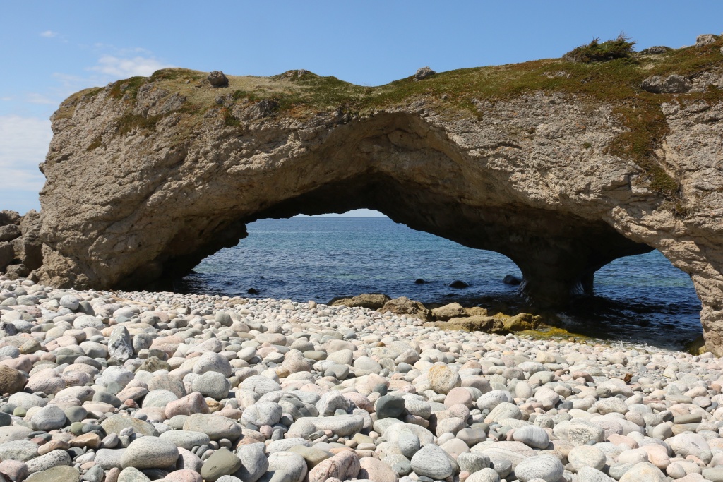
While traveling north along the west coast of the island, we found out we have our own Canadian Arches park. A very very very small provincial park but nice to see.

37878956182_45285a8085_o.jpg


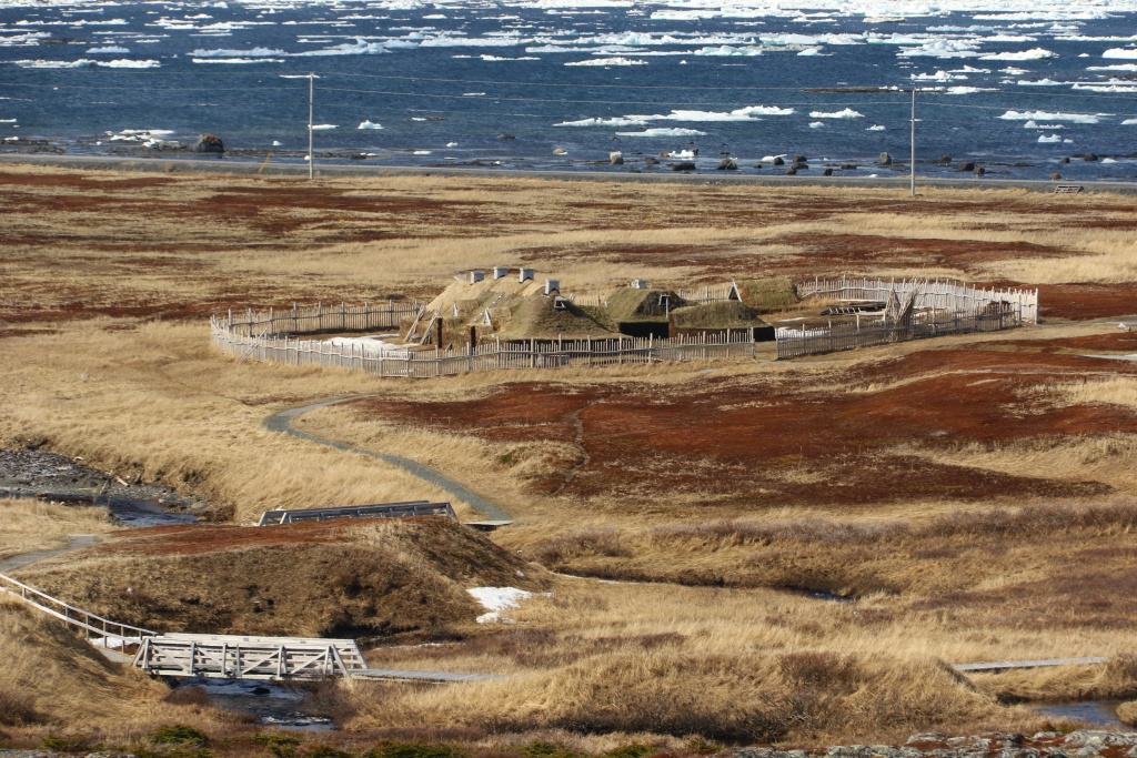
On the extreme northern tip of the island, we reached Anse aux Meadows National Historic Site, the site where Vikings first touch North America. They tried to stay but conflicts with native people forced them to leave. Unfortunately, the park was closed for winter.

24057993988_3765da902e_o.jpg


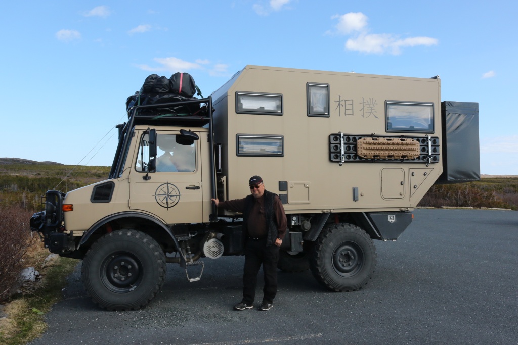
Just before leaving, we encountered Stefan, a German traveler with his Unimog Sumo. This makes me think a lot and envie them to be completely autonomous.

37909695821_6970cbff1d_o.jpg


The following days, we went from village to village to try to see icebergs. We wanted to take a cruise to get close to these icebergs but unfortunately, the wind of previous days has pushed free ice near ports and no boats left the ports, the ice being too risky. Anyway, this ice makes good pictures!

37878954722_c5220d7390_o.jpg


Except for St. Johns, Newfoundland doesn't have big cities but many village along the coast, where the main economic activity is fishing.

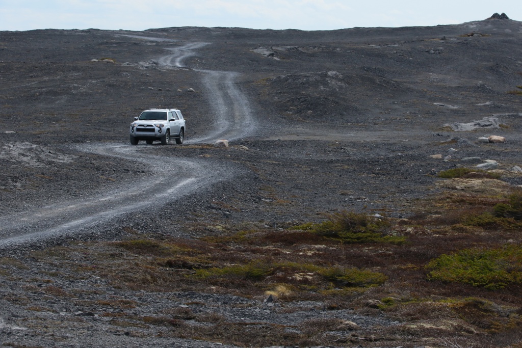
We went to Burnt Cape Park Reserve, where rare plants are growing. Since we were very early in the season, we only went on the road. The scenery is enigmatic since there is no shrubs or trees.

37878953472_964a5c3bd0_o.jpg


Far away, we could see some icebergs.

37909694461_da8e7e7619_o.jpg


We finally arrived to St. Johns, the provincial capital of Newfoundland. We visited Signal Hill National Historic Site, which was then a strategic military place to watch approaching vessels far away and give warning to the city.

Signal Hill has seen another important event when Marconi successfully performed radio communication across the Atlantic Ocean. On this picture, Cape Spear, the most eastern point of North America can be seen in a distance.

51892113323_91bb6cea2d_o.jpg


We then drove back under pouring rain, except the day on the ferry which was sunny.
.

 
Last edited:
As hoped since last spring, I am going back to southern Utah in late October to early December, for a full 6 weeks of pleasure. Since it will be very late in the season and winter will be approaching very fast, we will end the trip with the last week in northern Arizona. Hopefully, the weather will be clement enough.

Here what is planned so far:

Last October week : Around Hanksville and Torrey UT;
1st November week : Around Escalante UT;
2nd November week : Around Blanding UT;
3rd November week : Around Page UT;
4th November week : Around Sedona AZ;

The remaining days before and after are allocated to travel between Montreal QC and Utah/Arizona. You know, I don't live nearby !!!

[MENTION=66316]1engineer[/MENTION] : This might become an EPIC trip...

Stay tuned for more...
.
 
Last edited:
The big day is tomorrow. Unfortunately, we will be leaving under the rain and crossing this big storm on its length.

There will be not much to report for the first three days until we reach our first destination, Hanksville.

Stay tuned for nice pictures, hopefully!
 
2016-10 Southern Utah and Northern Arizona

Day 1:

Start point: Montreal QC
End point: Buffalo NY

Distance driven: 600 km

The departure day finally arrived. My wife and me left Montreal, Canada early in the afternoon, under pouring rain. There isn't much to show yet, not until we arrive in Utah in three days. We are in Buffalo, New-York for the night. Tomorrow will be a long day on the road.
 
Last edited:
Day 2:

Start point: Buffalo NY
End point: Mexico MO

Distance driven: 1366 km

What a long day!!!

We left Bufallo under the clouds with a few showers, but after a few hours a few breaks began to appear. Later-on, we had a cloudless sky. Nice!

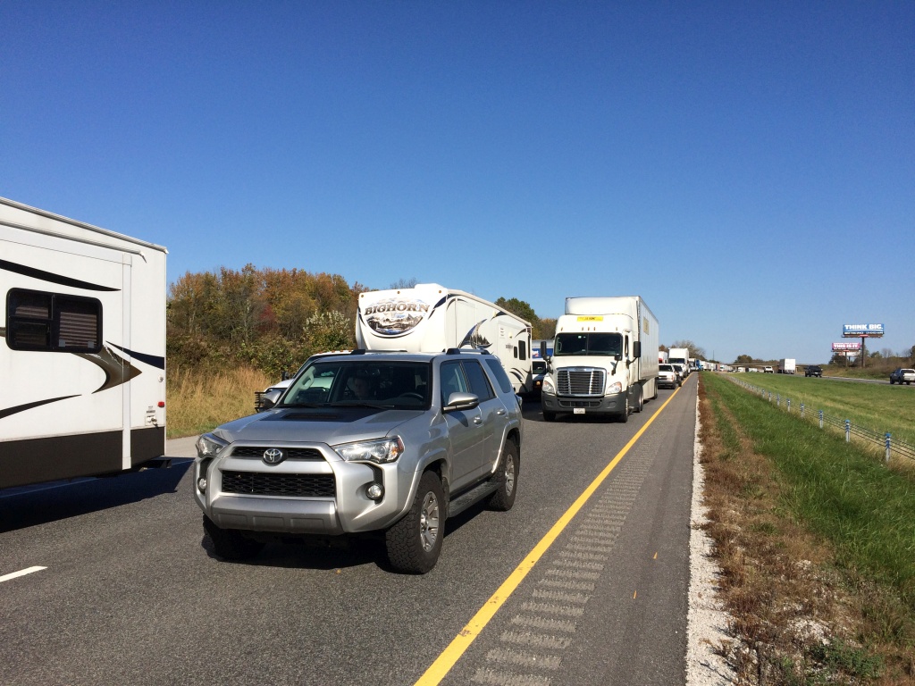
Then, we had to stop on the Interstate 70. There was a crash an the westbound direction was completely closed. We had time to socialize a bit with some travelers. We the learnt a school bus was supposely involved. I hope everybody was ok.

37686764296_9a2c79628a_o.jpg


In all, we lost one hour and a half. We were forced to go off the interstate, then to rejoin later. We are now in Missouri for the night. Tomorrow should be another long day on the road.
.
 
Last edited:
Hello from B.C.

Great photos, many thanks. Never been to Newfoundland and, at my age of 83, it's not in the cards. Been all over Canada and most of the US in cars and 4x4s though. Now trucking in a '16 4Runner Trail fitted with Goodyear Wrangler Duratracs, and looking forward to some more off-roading this spring and summer. You'll have to come west and explore B.C. one of these days. We have some awesome scenery, and grizzly bears! - Ted
 
You'll have to come west and explore B.C. one of these days. We have some awesome scenery, and grizzly bears! - Ted

Thanks.

I did explore BC once. In fact, in 2010, we left Montreal QC and travelled all the way to Victoria BC, the took the ferry to Washington state and down to San Francisco, for a mere 14388 km in 4 weeks. This was in my Honda Odyssey so no trails at that time.

I am planning to go back in a few years with the 4Runner this time.
 
Last edited:
Day 3:

Start point: Mexico MO
End point: Eagle CO

Distance driven: 1398 km

Almost there!!!

What a wonderful day under a sky without clouds. We left Missouri this morning, crossed Kansas (longggggg..........) and then Colorado and the Rockies. Tomorrow we will reach our first destination in Utah, and the picture flow will begin!!!

I need to rest now, 15 hours on the road is too much for me now.
.
 
Last edited:
Day 4:

Start point: Eagle CO
End point: Hanksville UT

Distance driven: 629 km
Distance hiked: 4.2 km

We finally reached Utah this morning. The goal of this trip is do some wheeling, hiking, and take a lot of picture. So let start with this excelent first day of fun!!!

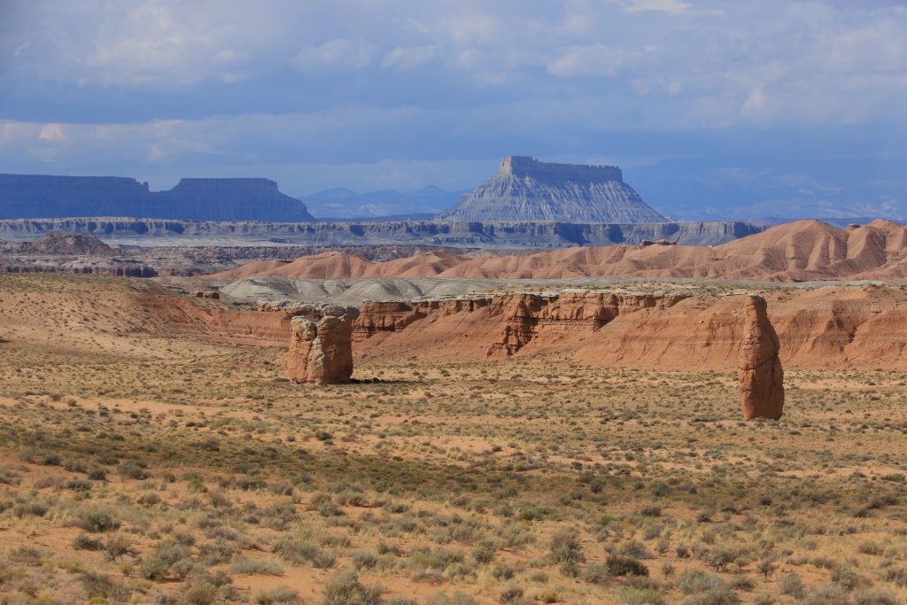
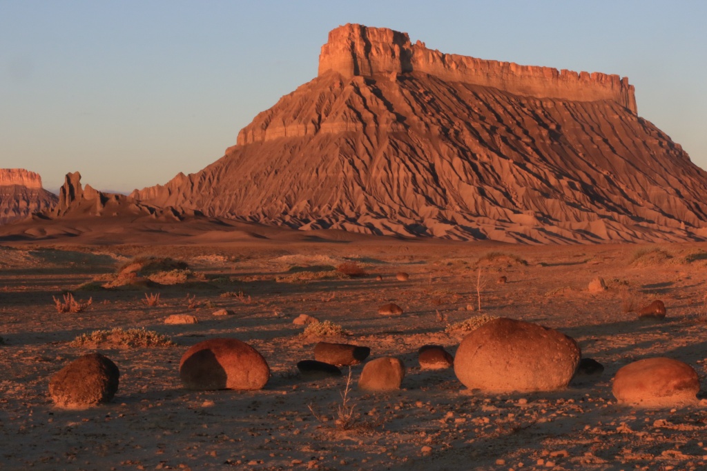
The San Rafael Swell is such a beautiful place. Here some chimney near Goblin Valley SP on UT24, with Factory Butte in the background.

37703148152_95090e8fff_o.jpg


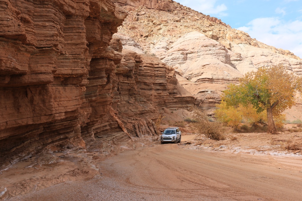
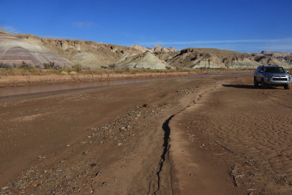
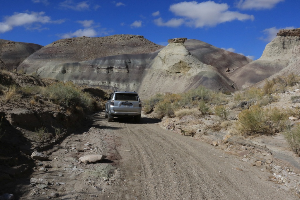
Our first point today was to travel Little Wild Horse Road up to Muddy Creek. Once the pavement ends, the road drops into the wash. Here a 4Runner in its element. This truck is amazing, even if near stock.

37686761616_e27a081fcd_o.jpg


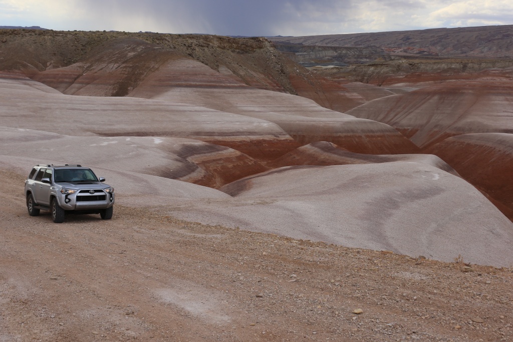
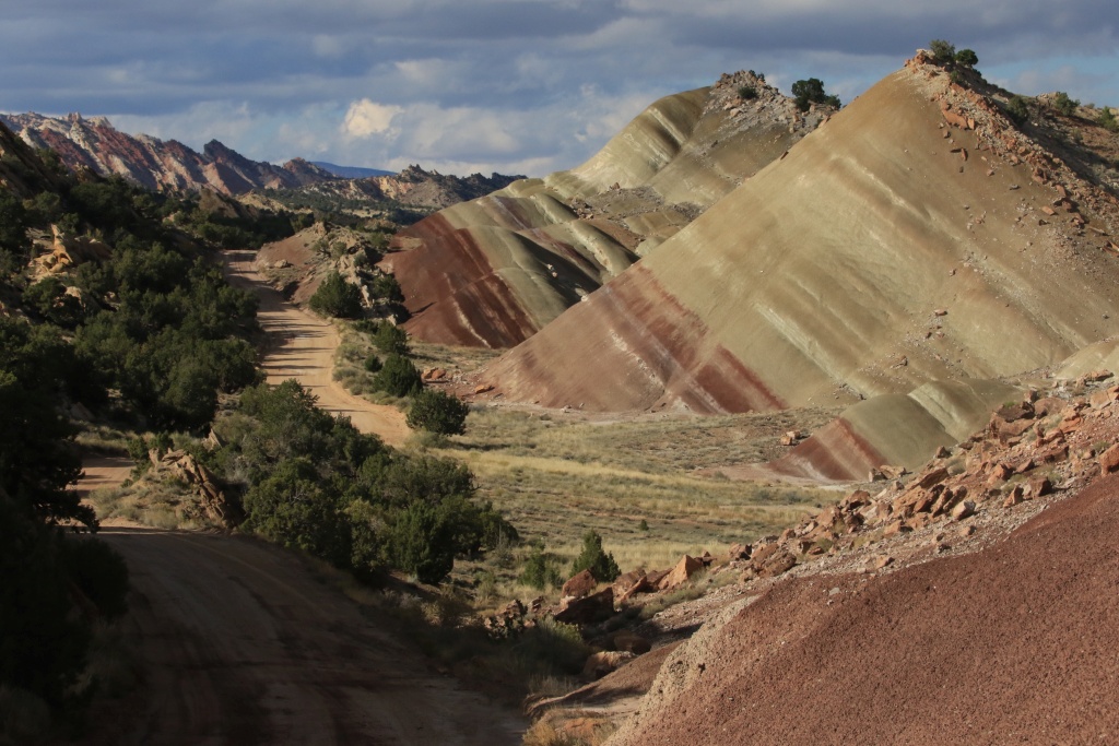
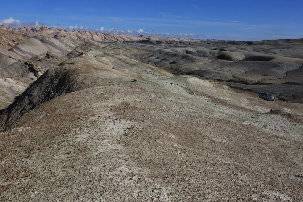
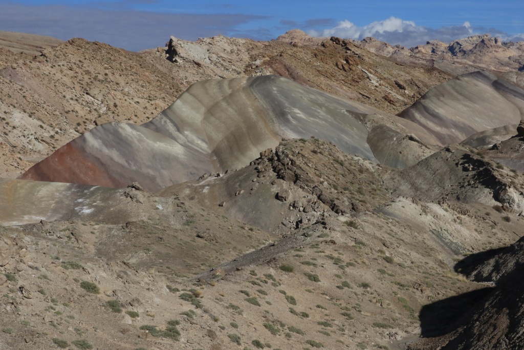
Later, the road leaves the wash to circulate on top of colorful bentonite hills.

37703145942_fa89c1f3f5_o.jpg


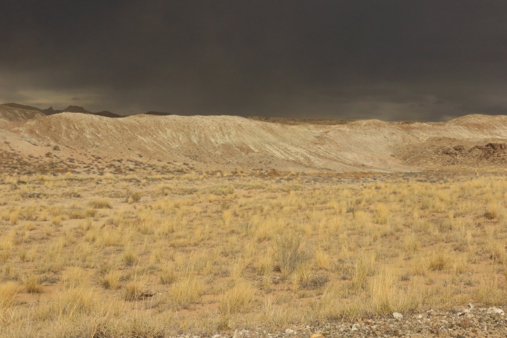
While in the wash, we could'n see the horizon and the dark clouds coming in our direction. A wash like Wild Horse Canyon is prone to flash flood, so we were a bit worried. We reach Muddy Creek, then turn around to go back as fast as possible before the down pour makes the road undriveable.

37686759686_b80390783d_o.jpg


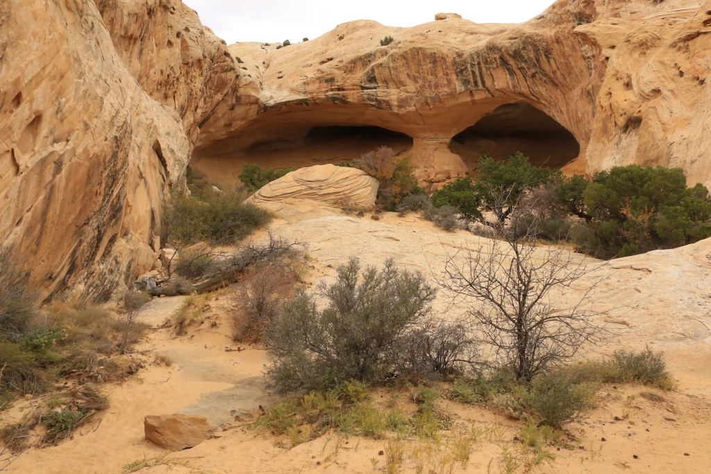
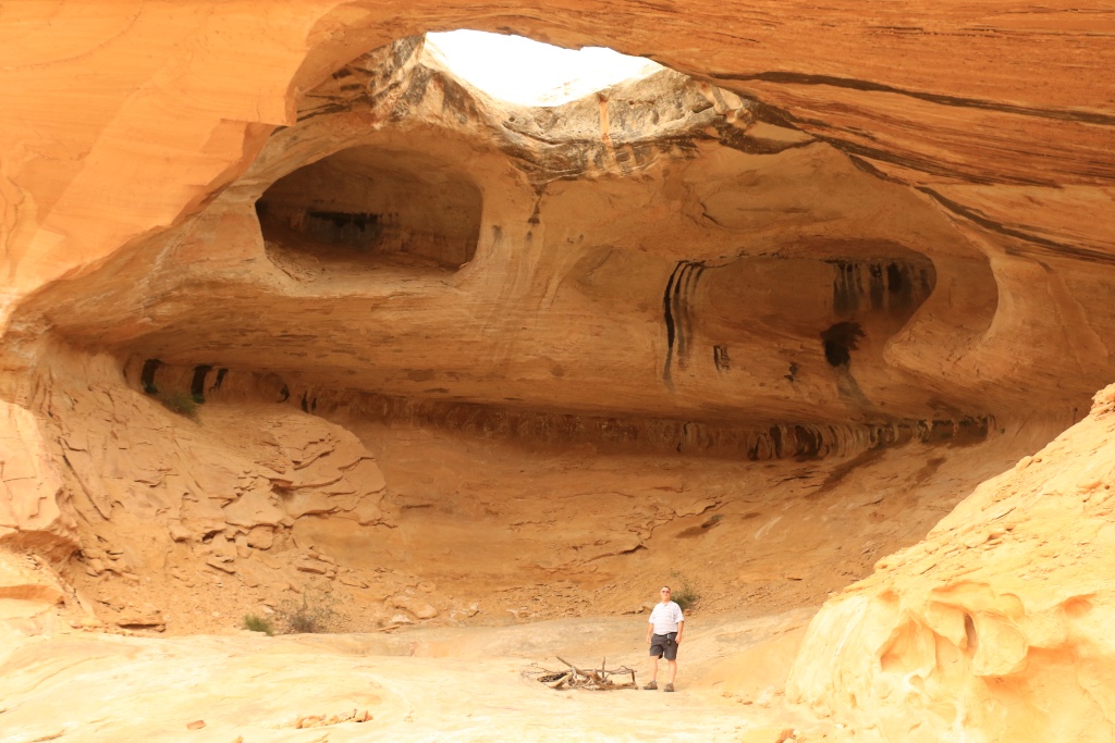
Due to the danger of flash flood, we decided not to hike Ding and Dang Slot Canyons. Instead, we went to hike to see Eye of Sinbad, near the junction of Goblin Valley Road and Temple Mountain Road.

37703145162_5f0804b251_o.jpg


37703144642_717d739f89_o.jpg


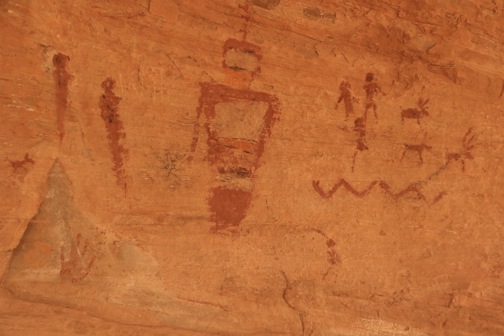
On the side of the cave, some really nice hieroglyphs are painted on the wall.

37686757996_1f9b236e45_o.jpg


This was an excellent first day in Utah touring and wheeling. So much more to come in the next six weeks for us. Come back for more!
.
 
Last edited:
Day 5:
[MENTION=66316]1engineer[/MENTION], thanks for making this thread sticky!

Starting point: Hanksville, UT
End point: Hanksville, UT

Since there was some thunderstorm and heavy rain yesterday night, many trails we were supposed to go today were not recommended. We decided not to push our luck and stay on the pavement, at least for the morning.

So, we head out to Hite Overlook in Glen Canyon NRA. As the sun was rising, we encountered some fog, a first for us in this region.

37703657892_a9296e6209_o.jpg


37703657052_c179e11a03_o.jpg


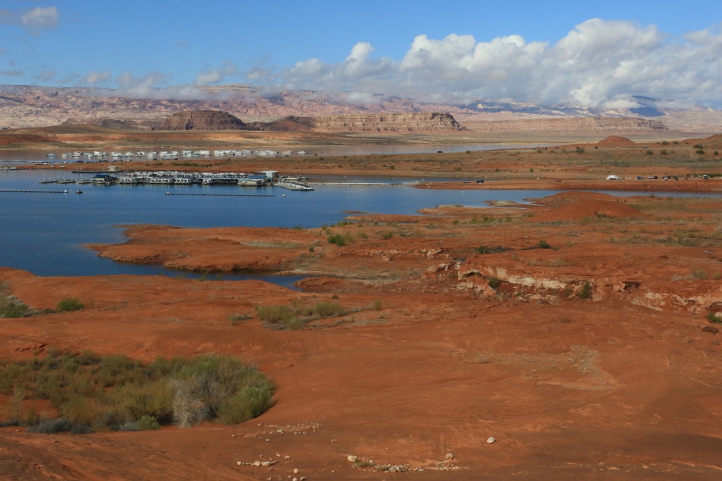
After, we went to Bullfrog Marina. We knew the ferry was closed for repair, but we wanted to walk on the rocks along the water of the lake.

37735836761_d3cf1c59eb_o.jpg


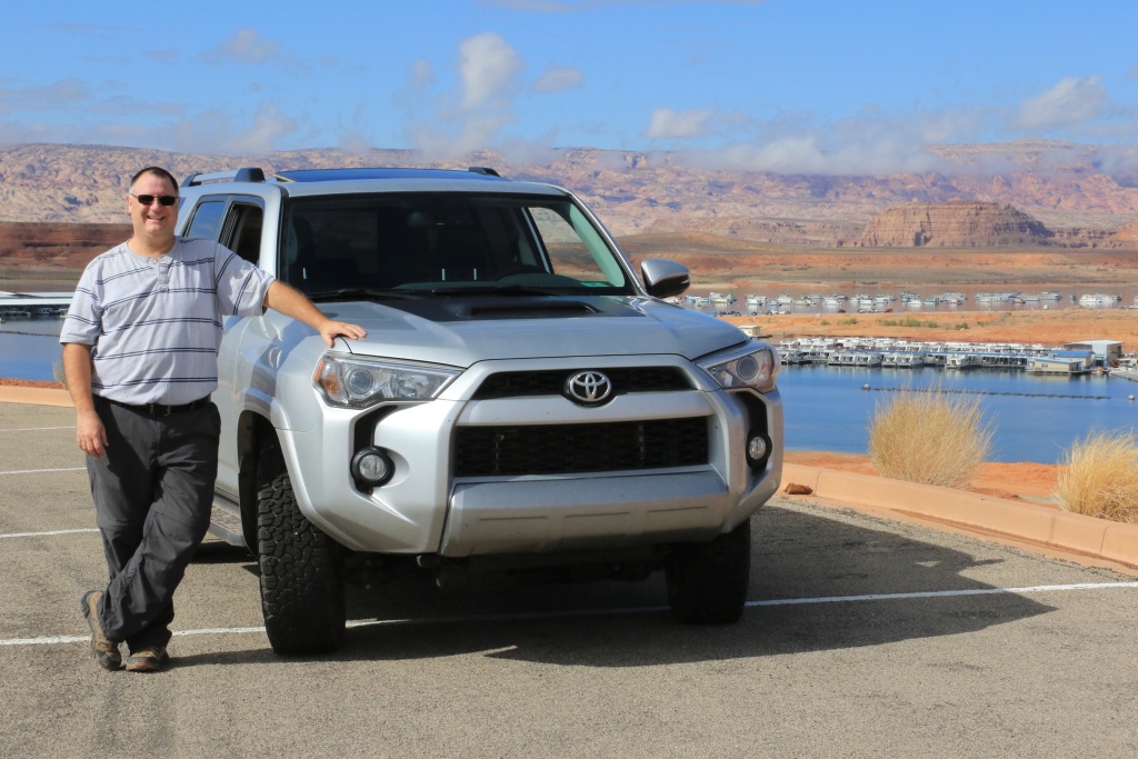
It is a 4Runner forum, so why not a picture of me and my almost stock 4Runner. This will change in 2017 for sure.

37703656042_c1e03d1938_o.jpg


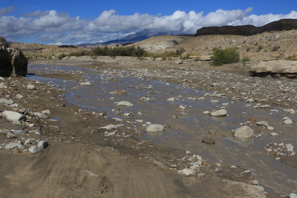
After getting some advices on Shootering Canyon Road and Clay Point Road, we decided to go back using the Burr Trail, which is now partly paved. At the intersection of Clay Point Road, we couldn't resist to see by ourselves if the road was really impracticable. Well, after a few miles, we arrived at a wash where water was still flowing. The bottom seems really soft so we decided to stay on the safe side and turned around.

37735835131_d44d7c527a_o.jpg


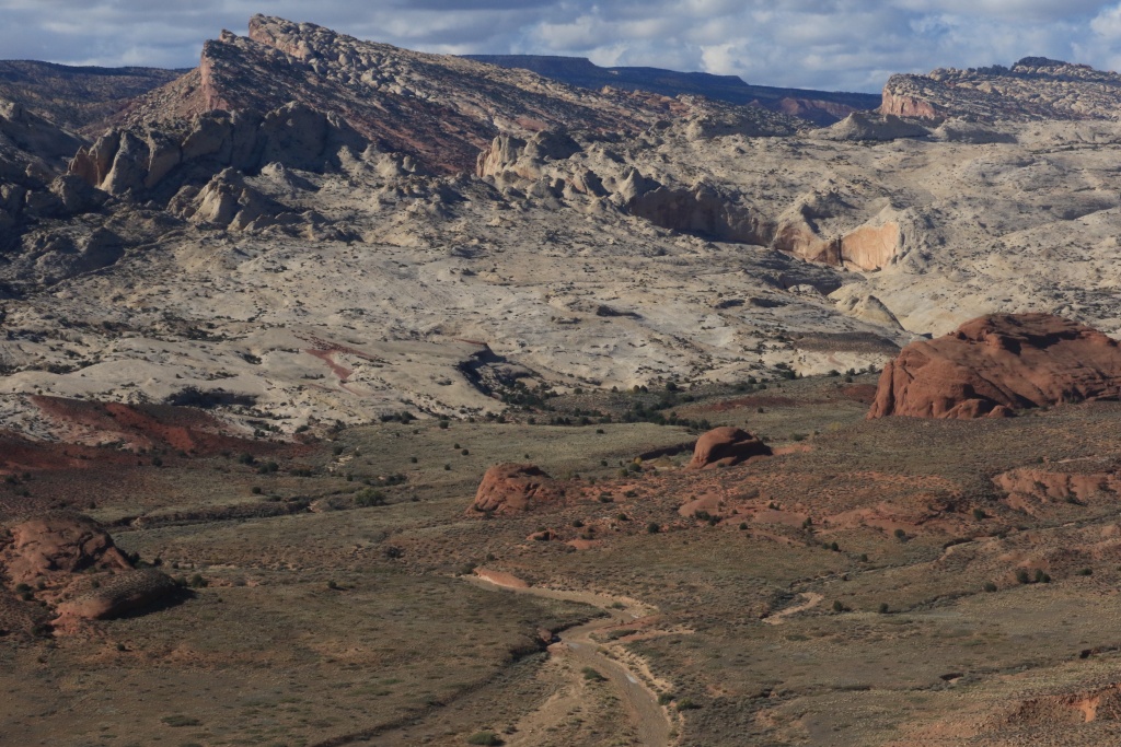
Continuying on the Burr Trail, we used a short spur road to a primitive campground with an overlook of the Hall's Creek Valley. This regions is so inspiring and awesome.

37703654232_8382b2c443_o.jpg


We then left the Burr Trail to go north on the Notom-Bullfrog Scenic Backway where the road travels through the heart of the Water Packet Fold.

37735833481_75b774b67a_o.jpg


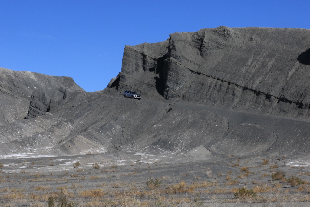
At that time, there was less than an hour before sunset. We decided to go some distance on the Caineville Wash Road along the West Factory Bench up to the Queen of the Wash, a large and colorful bentonite hill.

37703652712_8967706d33_o.jpg


37735832111_6d37e095f6_o.jpg


So its was a really enjoyable day within amazing scenery. Tomorrow, we should be on the Factory Road, Salt Wash Road, and West Factory Road. This should be fun, again!
.
 
Last edited:
No problem! If I were you I would begin each trip post with Starting point and End point. This way people who don't know the local area will have some idea of where you are. I have been to your current area several times for work lol. Nice scenery!
 
No problem! If I were you I would begin each trip post with Starting point and End point. This way people who don't know the local area will have some idea of where you are. I have been to your current area several times for work lol. Nice scenery!

Great idea. Will do. Thanks.
 
Thanks for sharing your adventures

I've been to most of the places you are visiting in Utah - But many years ago - Gotta' get back.

Newfoundland I'd like to see in person.

Enjoy the trip.
 
Day 6:

Start point: Hanksville, UT
End point: Hanksville, UT

We spent the day arounf Hanksville doing a few trails.

We started by Factory Road (aka Coal Mine Road), leaving early to catch the sunrise on Factory Butte.

37027831234_4509fbd953_o.jpg


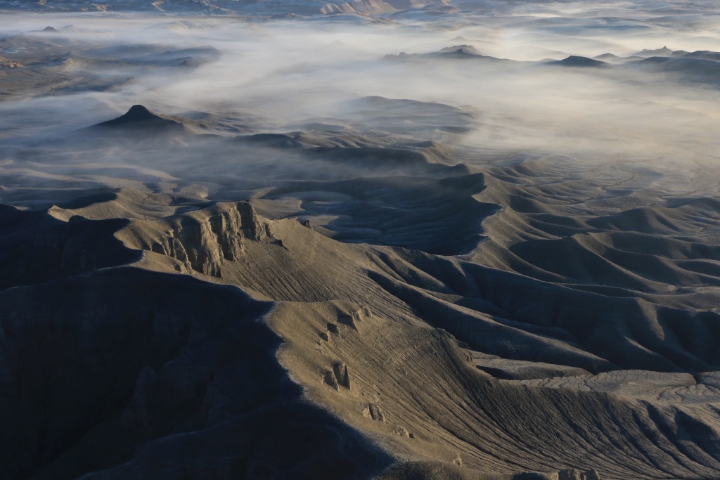
We the made a short side trip to Moon Overlook where we witness an incredible view of a spectacular landscape with some fog.

37066835233_a300b04b2b_o.jpg


We stopped at the Coal Mine where there isn't much to see except nice gypsum crystals everywhere. Nearby along the road, there is also many interesting rock formations.

Continuying north, we descend toward Muddy Creek. The landscape is amazing, without any vegetation.

37027829324_0277dfe2b6_o.jpg


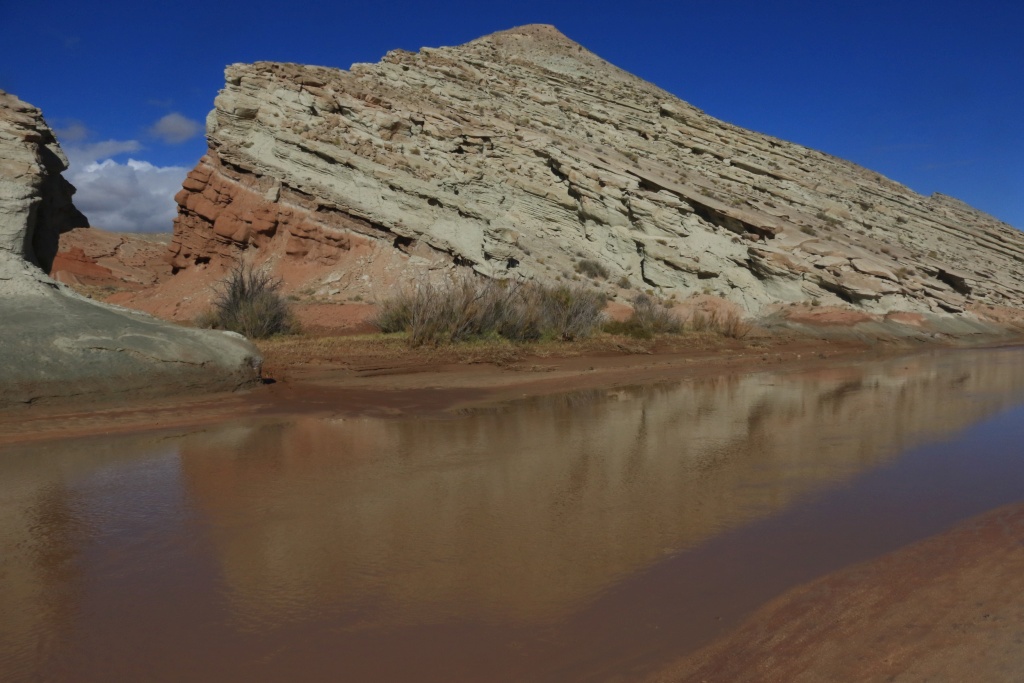
We reached Muddy Creek where water was flowing gently, but sign of flood from monday was clearly visible. No way I would cross there with a stock 4Runner, and alone.

37066834263_599509d4a4_o.jpg


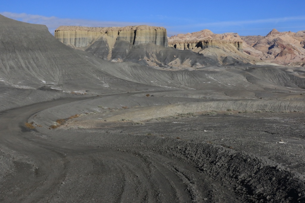
We turned around and went onto Salt Wash Road which goes into the San Rafael Reef among colorful formations.

37066830093_509a2bd1ab_o.jpg


37027828264_b8c90d8318_o.jpg


37688774536_e069060393_o.jpg


This road is a dead end, but we were stopped again by the wash flowing and with a high step on the farthest bank, making the road impassable.

37066833393_3b1c6f338d_o.jpg


We turned around and reach West Factory Bench Road which goes back to UT24 while going along the San Rafael Swell. The road follow a narrow wash and we encountered some small challenges like drop-off and washed portions. We finally reached Caineville Wash which was almost dry.

37066832443_817f77c3a2_o.jpg


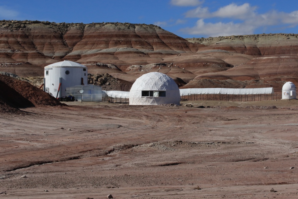
We went back toward Hanksville and turn north onto Cow Dung Road. There we saw the NASA Mars Research Facility. We also encountered German research teams doing test of rovers similar to those of NASA.

37066831833_57780d97b1_o.jpg


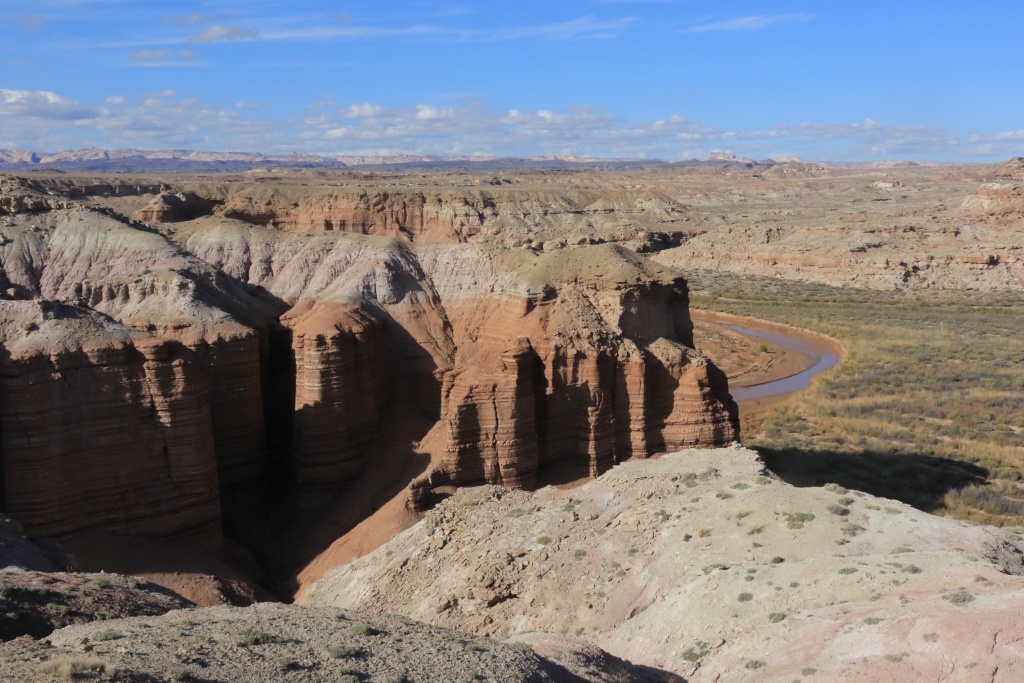
Later, we reached the site of Burpee Dinosaur Quarry where digs are done to excavate dinosaur fossils. There is no research ongoing at that time of the year. At the end of the road, we reached a promontory over Muddy Creek.

37066829363_1aea32153c_o.jpg


Tomorrow, we leave Hanksville to go to Capitol Reef NP and Torrey.
.
 
Last edited:

Members online

Forum statistics

Threads
278,307
Messages
3,554,054
Members
248,016
Latest member
Advally Service

Trending content

Back
Top