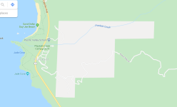
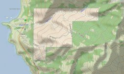
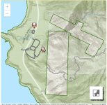
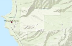
What does the lite shaded region mean?

Johncmng

Member
Is it private property? What is a good app or website?
 

Attachments

  • big sur.png
    big sur.png
    87.3 KB · Views: 491
  • big sur 2.jpg
    big sur 2.jpg
    138.2 KB · Views: 445
  • big sur 3.jpg
    big sur 3.jpg
    40.4 KB · Views: 483
  • big sur 4.jpg
    big sur 4.jpg
    57.5 KB · Views: 506
Register to hide this ad
Probably or DOD. May just be administered by the FS though. I bet that road is not gated if that's what you're concerned about. You can always call the Los Padres NF, Monterey District office and ask. Los Padres National Forest - Alerts & Notices

CalTopo is a very useful mapping site. You can overlay different maps like topo maps, FS maps, Google, etc. Play around with it. The link below has a USGS topo map overlayed with the Forest Service map along with color coded land management boundaries.

CalTopo - Backcountry Mapping Evolved

Good luck!
 

Members online

No members online now.

Forum statistics

Threads
278,312
Messages
3,554,089
Members
248,016
Latest member
Advally Service

Trending content

Back
Top