Day 28:
Start point: Monument Valley, AZ
End point: Page, AZ
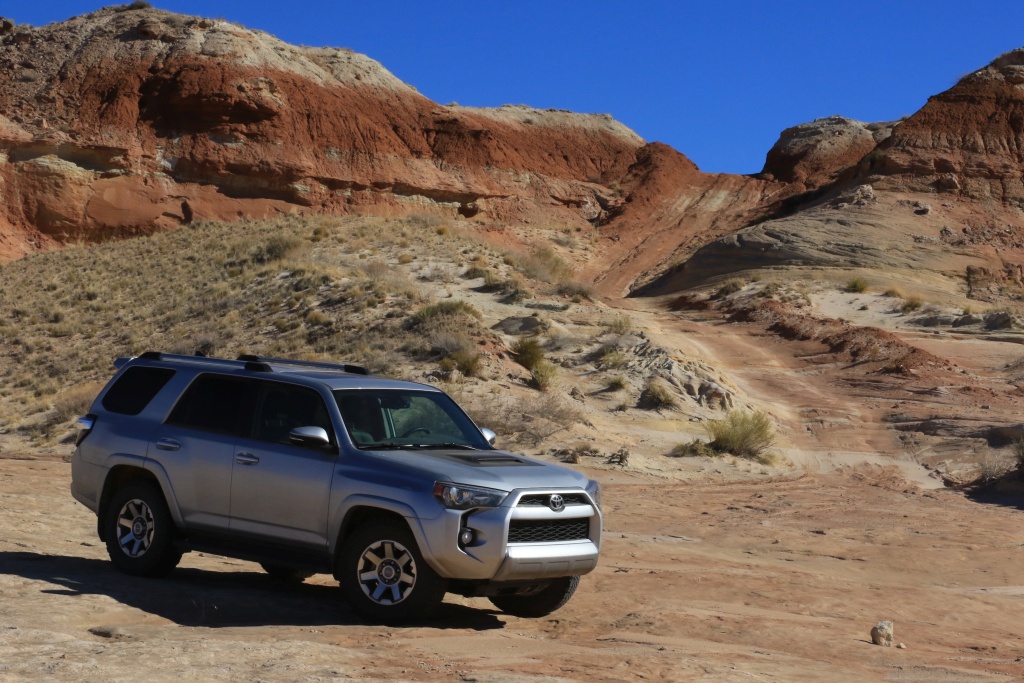
When we got up this morning after a mostly sleepless night due to a wind storm, the wind hadn't weakened. Getting the 4Runner ready, facing the wind, it was hard to breath. After the breakfast, when we went outside, we saw this big threatening dust cloud coming toward Monument Valley. It was a few kilometers from us, so we had a mission: leave NOW!
Fortunately, our itinerary brought us south while the clouds were moving eastward. We escaped alive, and after a few tens of kilometers, the sun was shining with almost no more clouds. But it was cold, as ... home!
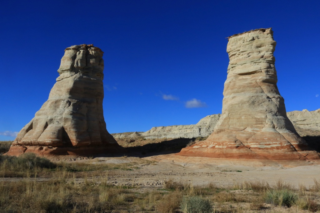
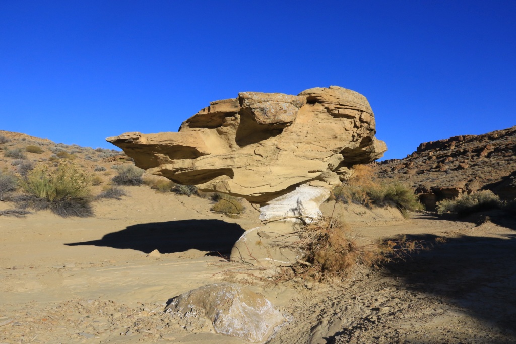
Along the way, we stopped at Elephant Feet View Area, a funny looking set of rocks.
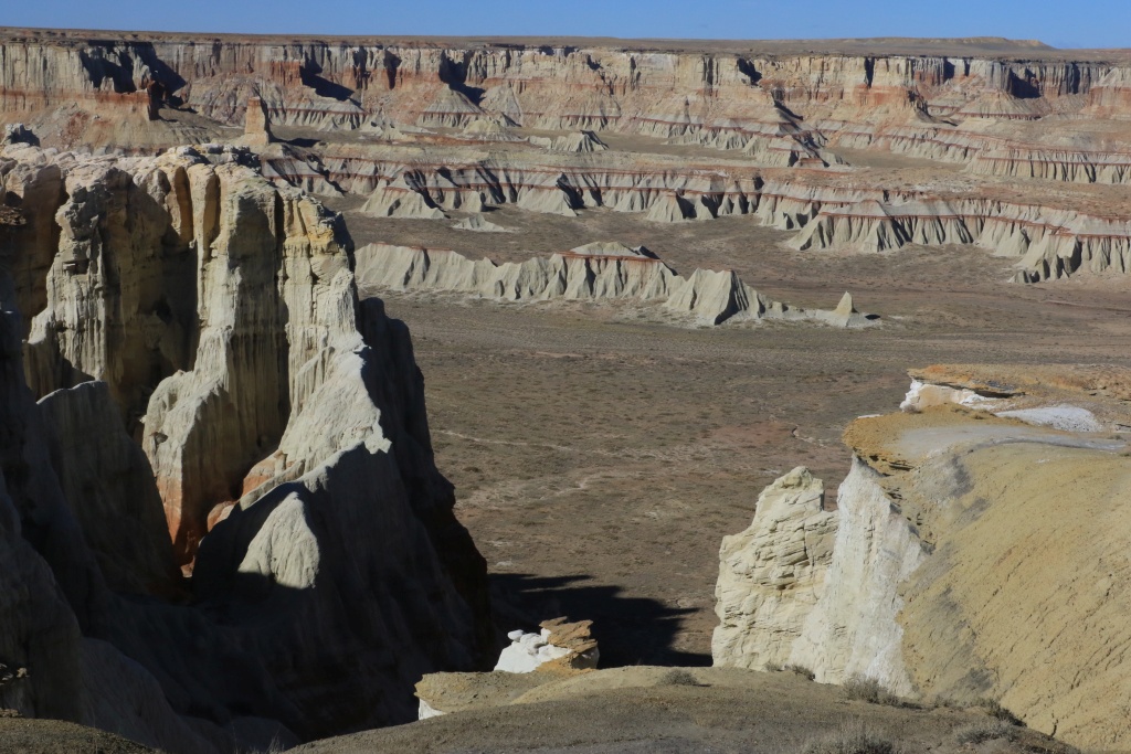
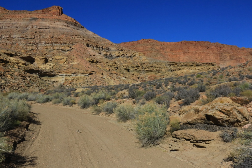
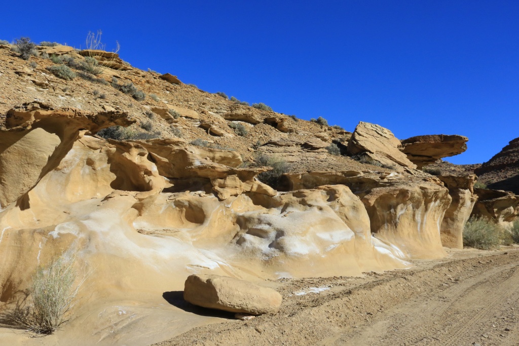
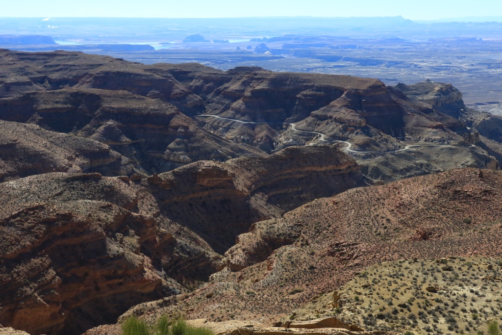
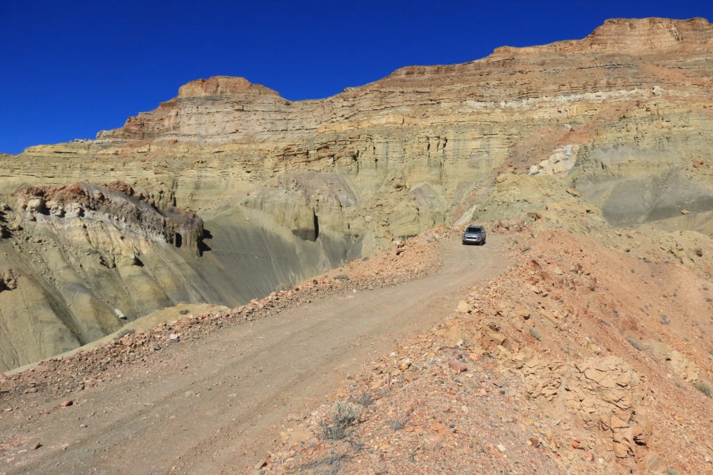
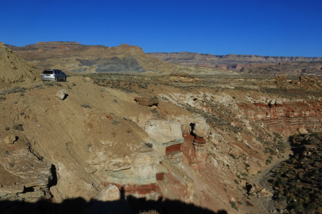
Our first destination of the day was Coalmine Canyon. We already went to the three official overlooks on a prior trip, but wanted to go back inside using a dirt road we noticed. This is not an official trail and is within the Hopi Reservation. There was no sign telling not to go, so we proceeded.
As we approached the canyon, great view arise before us. The thin layer of coal, near the top, was not worthy exploiting in the past, but this could change anytime, spoiling this great area.
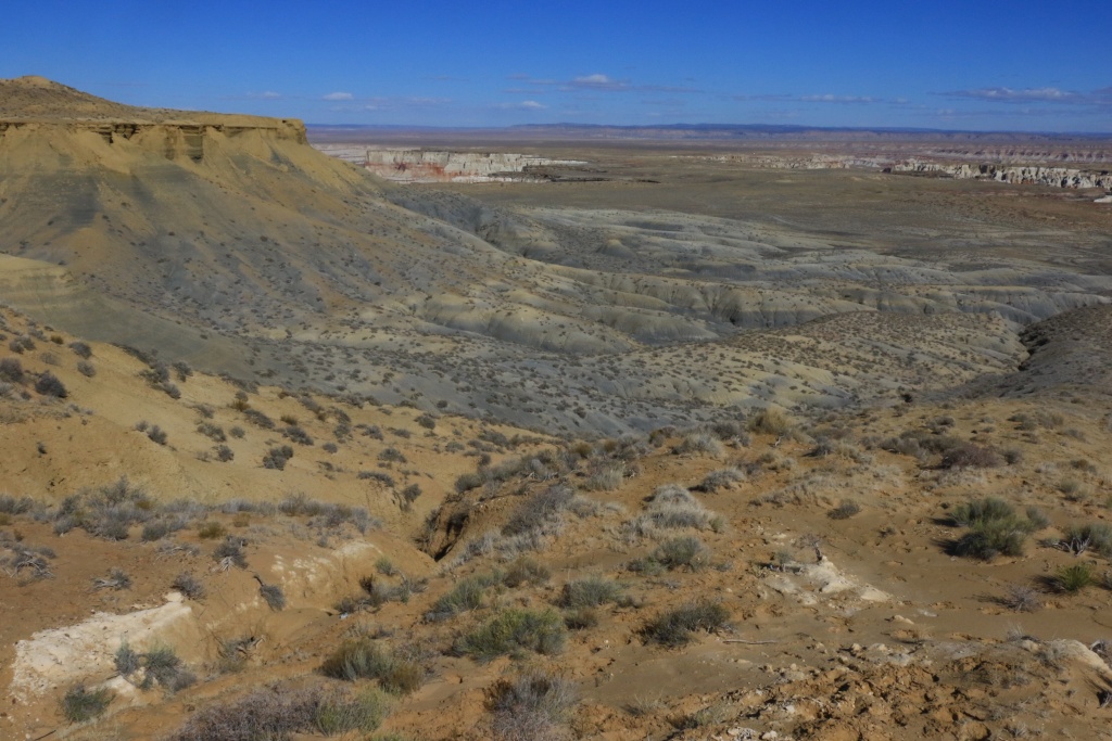
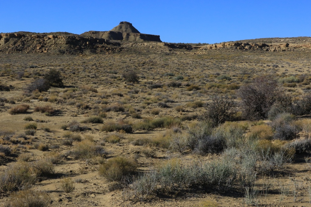
Later, we encountered a lengthy section of plains and I was wondering if my end point would prove as good as seen on Google Map.
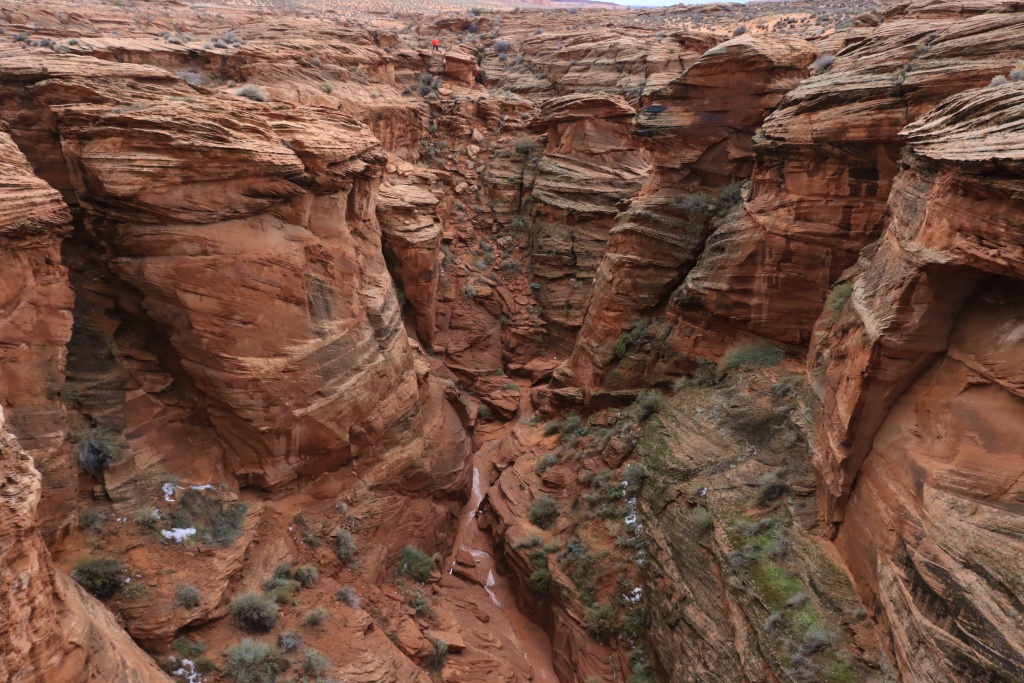
It didn't disappointed at all. After coming down a steep and sandy slope, the view opened up and unveil itself. What a great view!
The wind was still blowing and the temperature a mere 5C (about 40F), so we didn't explore as we had planed, and turned around.
We stopped in Tuba City for a quick lunch and headed north on US89. We were hoping to see some remnant of the 2013 landslide which closed this section for many months. Apart some trace on the mountain, there isn't much to see.
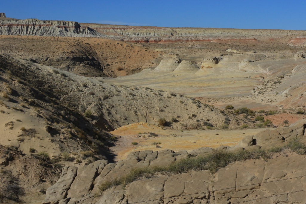
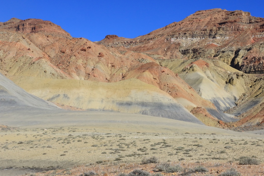
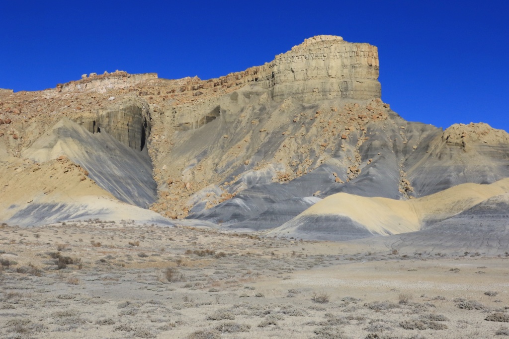
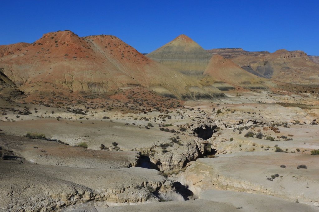
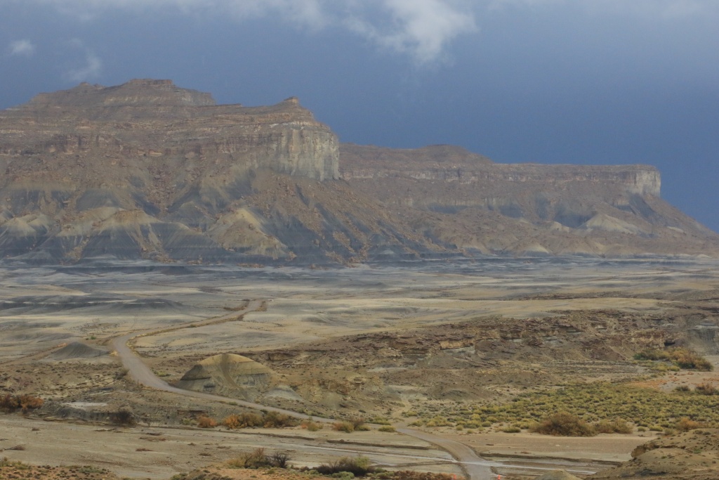
Continuing north, we took a secondary road to look at nice bentonite hills with cliffs above.
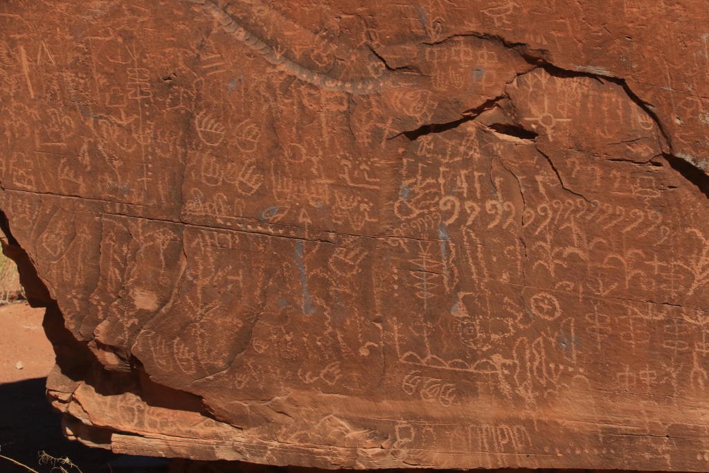
A little further on this road, we were fortunate to notice a fence protecting some petroglyphs. This is on Navajo Reservation and a sign warned us that approbation from the tribes were necessary to entered. We obeyed and took pictures above the fence. It is a shame this site is not open to the public since it has even more petroglyphs than Newspaper Rock near Canyonlands NP. We saw at least 15 rocks with abundant petroglyphs.
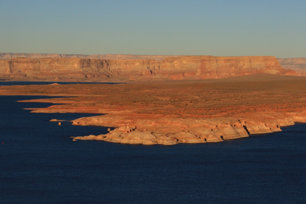
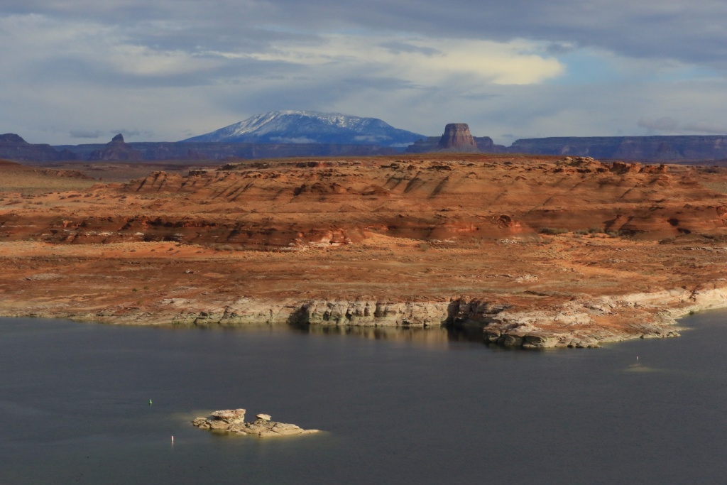
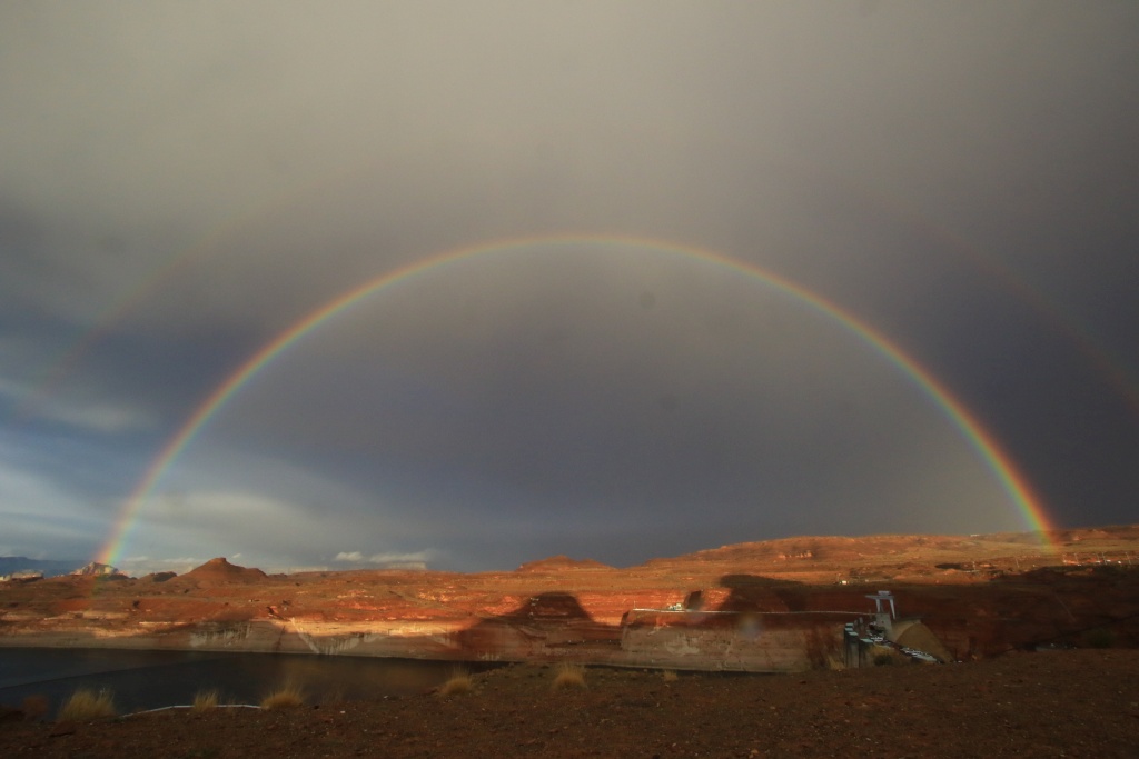
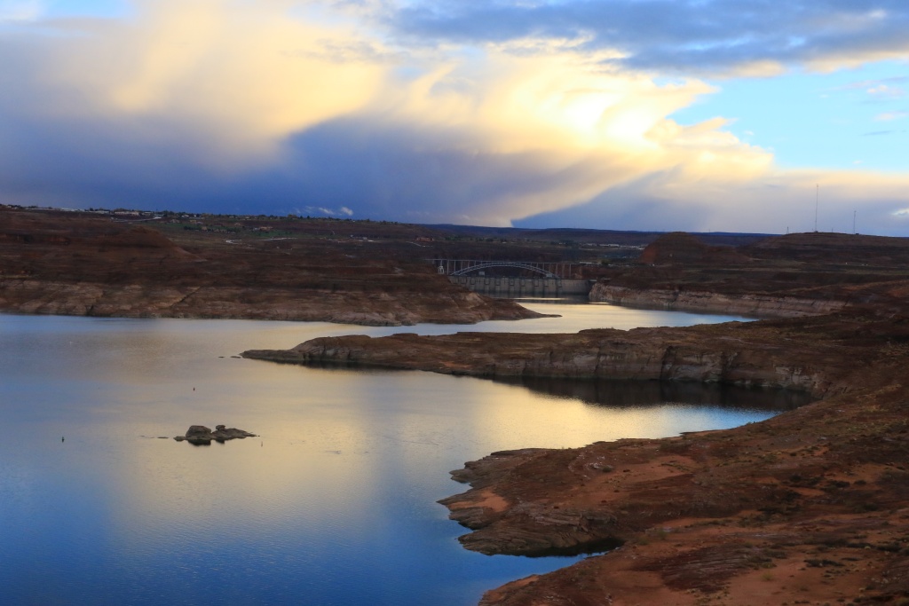
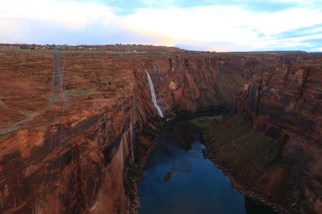
We finally arrived in Page and went to get informations about road and trail conditions. We concluded the day by traveling onto the Scenic Drive in Glen Canyon NRA.
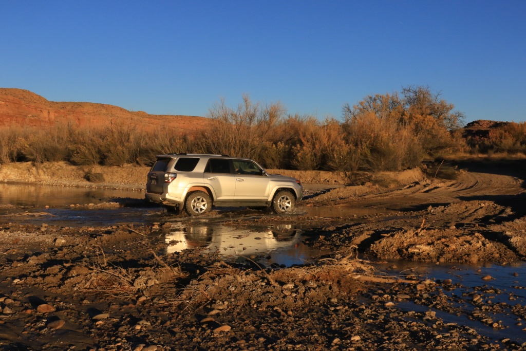
Lone Rock with a lonely 4runner!
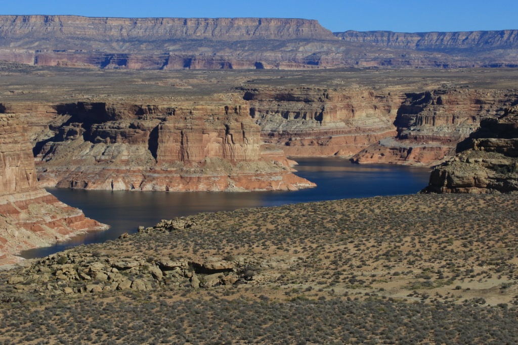
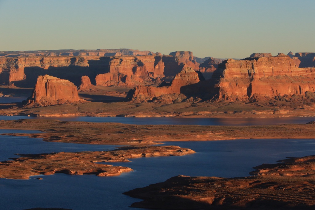
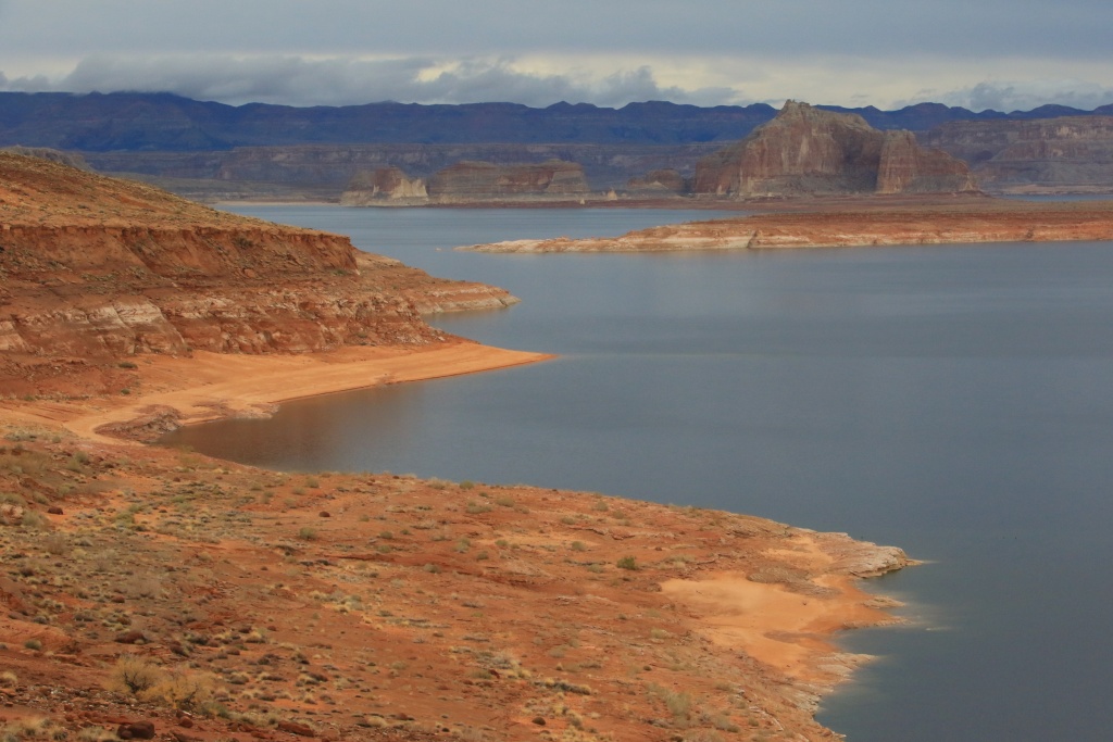
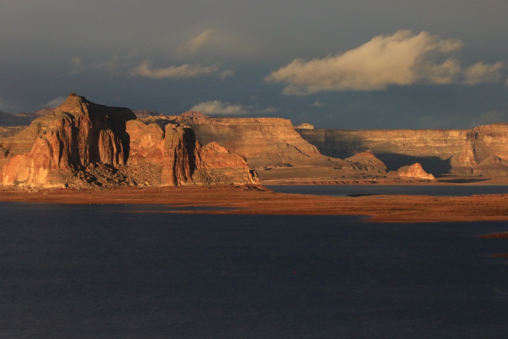
Alstrom Point, a very possible destination of the next few days.
The forecast mention good weather for the next three days. We should take advantage of this and do some wheeling. Yes!
.