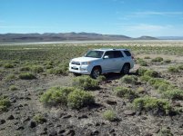
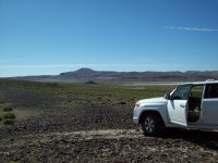
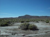
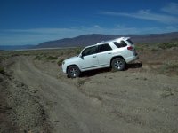
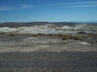
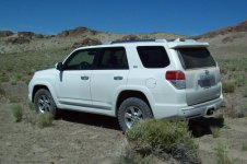
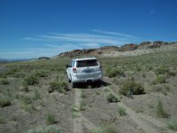
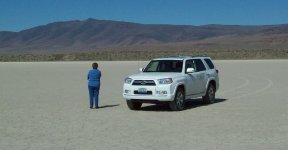
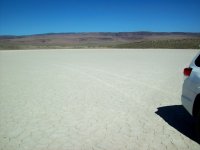
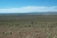
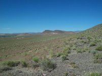
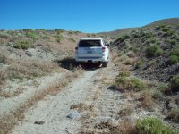
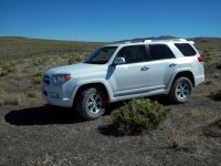
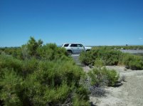
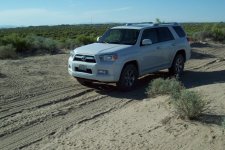
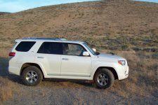
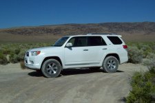
2013 SR5 4x4 Update

I did the Imperial Palace grounds about three years ago.
I recognize your painting:

19274300916_ba1a33dc34_o.jpg


One of my favorite places is the east side of Winnemucca Lake. Spent lots of time exploring there. Also really enjoy the east side of the Humboldt Sink. Keep posting!
 
Trek 335 - The Crater - 9 May 2017

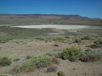
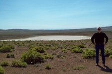
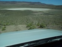
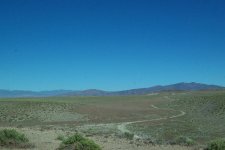
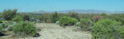
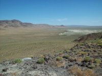
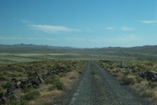
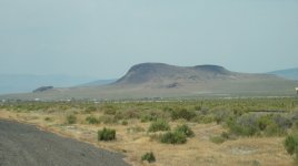
Out at the north end of the Hot Springs Range in years past I had noticed a crater on the topo maps. Today I decided to find it. There is no mapped trail to it but I found a track through the rocks to it.

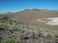
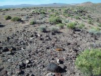
It's an old volcanic crater about 300 yards in diameter and perhaps 100 feet deep. The bottom is sand filled.

After leaving the crater I checked out some other tracks - I'll get back to this and add photos later - seems the wife has some rush "honey dos...

Honey does taken care of - From the crater I followed the main track to where trails branch off up a narrow canyon that eventually led me to a spot where the canyon wall had caved in due to spring flooding and made passage imposssible. I turned back and went to to
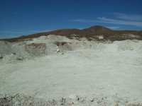
some diatomite prospects I'd checked out four years ago. The prospects had become a major quarry and looks like it has already been abandoned.

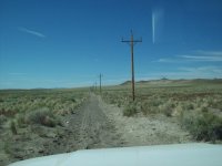
fom the ditomite mine I went across the low pass and then headed along a pole line road back to Hazen
 
Last edited:
Trek 335 pics

Now on to the pics:
 

Attachments

  • 33501-Rocky.jpg
    33501-Rocky.jpg
    139.9 KB · Views: 304
  • 33502 - Crater Rim.jpg
    33502 - Crater Rim.jpg
    139.5 KB · Views: 307
  • 33503-Crater Bottom.jpg
    33503-Crater Bottom.jpg
    135.9 KB · Views: 308
  • 33504-On The Rim.jpg
    33504-On The Rim.jpg
    135.8 KB · Views: 306
  • 33505-Flats.jpg
    33505-Flats.jpg
    137.6 KB · Views: 308
  • 33506-Turn arund.jpg
    33506-Turn arund.jpg
    137 KB · Views: 307
  • 33507-Diatomite Mine.jpg
    33507-Diatomite Mine.jpg
    138 KB · Views: 310
  • 33508.jpg
    33508.jpg
    138.6 KB · Views: 300
more 335

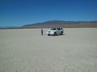
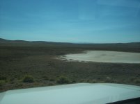
BTW: That Chevy Suburban has been removed from the playa'

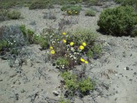
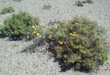
- - and the desert flowers are starting to bloom.
 

Attachments

  • 33509.jpg
    33509.jpg
    134.7 KB · Views: 291
  • 33510.jpg
    33510.jpg
    142.8 KB · Views: 305
  • 33511.jpg
    33511.jpg
    137.2 KB · Views: 296
  • 33512.jpg
    33512.jpg
    136.5 KB · Views: 295
  • 33513.jpg
    33513.jpg
    141.1 KB · Views: 295
  • 33514.jpg
    33514.jpg
    141.6 KB · Views: 295
Some calcs

Now at 73,000 miles
First owner (New Jersey) 30,000 miles (probably never in 4wd)
Since I've had it:
a bit over 70 off-road trek
Total miles off-road = approx 10,500 (approx 25% of my 43,000) Total miles in 4wd = approx 7000
Total miles 4Lo with A-Trac on = approx 3000

Some thoughts about how it performs in N. Nevada terrain (mostly mountains [rocky] and playas [sand], rarely muddy, rarely water crossings) - sitting on E rated Toyo LT-265/70-17 MTs:

Never aired down
Always use A-Trac with 4Lo
Momentum never required except in dunes
Downhill assist used about four times
Almost stuck twice in dune sand
Almost stuck once in snow

Some likes about this vehicle:
*I have learned to love the combination of rear-view camera and rear sonar when making u-turns on very tight trails and backing down dead-end trails.
*The H2-H4-L4 knob shifter works great once used to it.
*A-Trac is very good and much improved over the system that came with the Land Rovers (but noisier)
*The DAC works about the same as Land Rover (but niosier)
*Liftgate and openable rear window a big improvement over the LR Discovery swinging door.
*The stock skid plates work just fine (when you take your time crossing very rocky areas).
*Ride both on road and off-road both an improvement over the LR Discovery with it's solid front axle and 100" wheelbase.
*Never had a single check engine light.
*17-21 mpg a big improvement over LR 13-17 mpg. Also the fact that I usually do get what it's rated at.
*Brakes excellent.
*Engine HP and TQ perfect for my uses.
*The Toyo Open Country LT-265/70-17 (E) are perfect.

Some dislikes about this vehicle:
*Hate the switches on the steering wheel that get bumped while reading a map and turn stuff on.
*Would love to have some steel instead of plastic.
*Wish I didn't have a sunroof-but at least it doesn't leak.
*Got a lot of tiny paint chips.
*Someday I will put a Toyo LT (E rated spare under it. Probably when replacing tires.
 
Last edited:
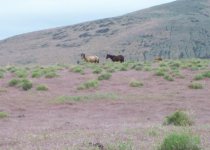
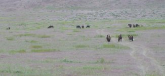
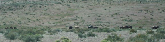
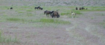
Mutangs in the Cheatgrass

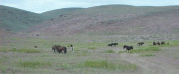
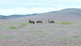
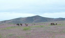
Tuesday evening traveling to Dayton for dinner. Herd of wild horses again as we crossed the pass. Drove out into the field to photograph them -
 

Attachments

  • h01.jpg
    h01.jpg
    60.3 KB · Views: 456
  • H02.jpg
    H02.jpg
    121.9 KB · Views: 454
  • hs03.jpg
    hs03.jpg
    145.9 KB · Views: 439
  • H04.jpg
    H04.jpg
    52.4 KB · Views: 455
  • H05.jpg
    H05.jpg
    73.8 KB · Views: 436
  • H06.jpg
    H06.jpg
    135.7 KB · Views: 448
  • H07.jpg
    H07.jpg
    76.5 KB · Views: 449
  • H08.jpg
    H08.jpg
    63.6 KB · Views: 448
Trek 336 - back to the Volcano Crater and Looking for 2nd

170520 - Trek 336 - Two Craters - 20 May 2017

Pat and I headed out at about 9 this morning to better explore that volcanic crater that I found last week. After about twenty five miles to Brady’s Hot Springs and then another five miles on the really crappy geothermal service road I found the very miss-able track through the andesite up to the rim of the crater. Actually, this is crater number 1. According to the topo map there appears to be a second crater to the east of it. Stopped on the edge, Pat was blown away!

After driving over the edge of the rim down onto the silt filled bottom of the crater Pat was even more blown away. The crater after some odometer measuring is a bit more than 1000 feet wide at the bottom. The rim of the crater measures between about 60 feet to 150 feet deep. The rim is broken andesite boulders from pebble size to a couple feet in diameter. Makes for very slow careful traveling in the boulders. Driving across the packed flat silt is a piece of cake.

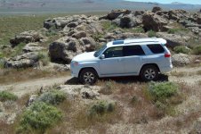
After some pictures it was next to try to locate and drive to crater number two. We drove around the south rim for about about 200 yards to a steep two track climbing up the east rim. This was perhaps a 100 foot climb; pretty steep but not too many boulders to navigate through. Toyo E rated = tough/good. At the top of the rim and across perhaps 100 feet we were looking down at crater two. Almost identical to crater one. More pictures taken on the rim. I couldn’t locate any track down into the crater nor any tracks going out the other side. So it was just more pictures and headed back to crater one.

Back on the first crater rim I spotted a way back to the bottom that avoided most of the jagged rocks. Drove across the bottom and exited the way we had first come in. After getting back to the geothermal road I asked Pat if she wanted to drive the rest of the way around the Hot Springs mountain. “Nope, I’m ready for lunch in Lovelock.” So off we went to Lovelock, another 40 miles.
 

Attachments

  • 33601-1st crater.jpg
    33601-1st crater.jpg
    133.8 KB · Views: 415
  • 33602-looking north.jpg
    33602-looking north.jpg
    136.9 KB · Views: 410
  • 33603-looking north east.jpg
    33603-looking north east.jpg
    138 KB · Views: 415
  • 33604--turn around.jpg
    33604--turn around.jpg
    88.7 KB · Views: 413
  • 33605-cooked alkaly mud.jpg
    33605-cooked alkaly mud.jpg
    135.2 KB · Views: 434
  • 33606-only tracks.jpg
    33606-only tracks.jpg
    133.4 KB · Views: 404
  • 33607-road to 2nd crater.jpg
    33607-road to 2nd crater.jpg
    138.1 KB · Views: 441
  • 33608-on to 2nd.jpg
    33608-on to 2nd.jpg
    137.3 KB · Views: 404
Last edited:
OK those were all in the first crater - Now for the rim shots looking at the second crater
 

Attachments

  • 33609-that-a-way.jpg
    33609-that-a-way.jpg
    137 KB · Views: 425
  • 33610-looking back to first.jpg
    33610-looking back to first.jpg
    137.3 KB · Views: 399
  • 33611-2nd crater.jpg
    33611-2nd crater.jpg
    136.4 KB · Views: 407
  • 33612-rim between 2 craters.jpg
    33612-rim between 2 craters.jpg
    108.1 KB · Views: 420
  • 33613-selfie.jpg
    33613-selfie.jpg
    134.5 KB · Views: 422
  • 33614-Rocky Peak.jpg
    33614-Rocky Peak.jpg
    137.8 KB · Views: 430
  • 33615-on the rim.jpg
    33615-on the rim.jpg
    134.5 KB · Views: 399
  • 33616-back down to number one.jpg
    33616-back down to number one.jpg
    134.9 KB · Views: 420
Trek 337 - Some Sand Some Rocks and

Some new power stuff.

Went out north of Black Butte to see where some of the new tracks went.

Seems as if the Patua Geothermal Project has put in a couple of new wells.

And now I know what all the sheetmetal was for - they're putting up a bunch of solar arrays - Lots of them - Now PATUA GETHERMAL AND SOLAR.
 

Attachments

  • 33701.jpg
    33701.jpg
    115.5 KB · Views: 403
  • 33702.jpg
    33702.jpg
    137.7 KB · Views: 375
  • 33703.jpg
    33703.jpg
    142.6 KB · Views: 389
  • 33704.jpg
    33704.jpg
    136.8 KB · Views: 376
  • 33705.jpg
    33705.jpg
    137.2 KB · Views: 395
  • 33706.jpg
    33706.jpg
    138.2 KB · Views: 374
  • 33707.jpg
    33707.jpg
    135.1 KB · Views: 409
  • 33708.jpg
    33708.jpg
    137.1 KB · Views: 420
New gas mileage record

Yesterday traveled to a family reunion in Yuba City CA. 330 miles round trip.

Tires set before leaving at 39psid all around. Approximately 150 lbs cargo. Just me driving. Weather between 55F (leaving Fernley) 80F (arriving Yuba City), Sunny, Slight cross winds both directions.

Fernley to Reno I-80, over Donner summit, turned onto CA-20 then thru Nevada City on to Marysville/Yuba City. Other than crossing the Sierra Nevada this was mostly downhill = 3 hours, 165 miles = 24.6 mpg.

Returning same route mostly uphill = 3 more hours, grand total 330 miles = 21.9 mpg. So obviously coming back I was getting about 20 miles per gallon.

BTW: Traffic was rather light - speed limit all the way both directions.
 
Filled her up yesterday at 350 miles on the Odometer = 15 gallons.

That equals 23.33 mpg = ECO GAGE was reading 22.0 - close enough.

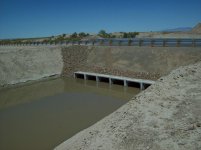
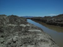
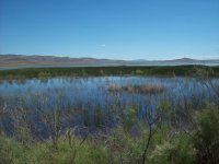
Then riding around checking out the big dig around Fallon and the levels of the Stillwater lakes. That where the water from Carson Lake via the big dig is routed to.

Ranchers in Fallon area dug the ditch without city, county or state money.
 

Attachments

  • bd01.jpg
    bd01.jpg
    135.1 KB · Views: 355
  • bd02.jpg
    bd02.jpg
    136.8 KB · Views: 341
  • bd03.jpg
    bd03.jpg
    137.3 KB · Views: 348
  • bd05.jpg
    bd05.jpg
    137 KB · Views: 375
  • bd06.jpg
    bd06.jpg
    137.8 KB · Views: 360
  • bd07.jpg
    bd07.jpg
    144.3 KB · Views: 351
North of Ragtown

170531-Trek 338-Ragtown and the California Trail-Carson Route

Got up early because I had an early morning dental appointment; then realized it wasn’t until next Tuesday. Well heel, I hate to waste the morning; so decided to do some more exploring.

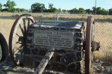
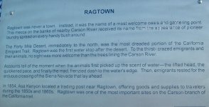
About halfway from Fernley to Fallon on US-50alt is a trail historical marker for Ragtown. This is the spot where the 1840s pioneers who had just completed the worst stretch of their journey (The Forty Mile Desert) had just reached the Carson River and took time to refresh their livestock and wash clothes; hence “RAGTOWN”

Across the road is the Fallon Stockyards and a road called Trento Lane. The road runs due north where the old trail through the dunes used to end. So off I ewent headed north.

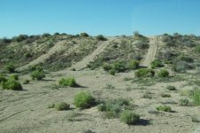
The road is paved for about half a mile, then graded gravel for another half mile, then graded dirt for a bit more, then sand, then softer sand, then even softer sand over dunes, finally becoming just a bunch of non-mapped 4wd track through the brush.

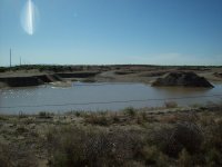
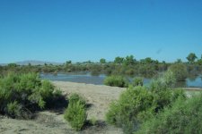
There are several ponds out there that may not have existed in 1848 but they are there now in this “wettest on record year”.

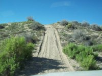
Oh - yes I was able to make it up to the top of that steep dune on the second try. In low range, A-Trac "ON", 3rd gear, starting at abot 15mph.

 

Attachments

  • 33801-North of Ragtown.jpg
    33801-North of Ragtown.jpg
    134.8 KB · Views: 318
  • 33802-Looking nw.jpg
    33802-Looking nw.jpg
    137.6 KB · Views: 316
  • 33803-Sand gets looser.jpg
    33803-Sand gets looser.jpg
    140.7 KB · Views: 333
  • 33804-The boss.jpg
    33804-The boss.jpg
    140.8 KB · Views: 339
  • 33805-sandy.jpg
    33805-sandy.jpg
    138 KB · Views: 330
  • 33806-Mustang Pond.jpg
    33806-Mustang Pond.jpg
    111.5 KB · Views: 317
the steep dune

The steep dune - Made it second try
 

Attachments

  • 33807-I can do that.jpg
    33807-I can do that.jpg
    138.7 KB · Views: 329
  • 33808-Loose but doable on 2nd try.jpg
    33808-Loose but doable on 2nd try.jpg
    137.7 KB · Views: 351
  • 33809-Wet quarry.jpg
    33809-Wet quarry.jpg
    134.9 KB · Views: 357
  • 33810-Nameless pond.jpg
    33810-Nameless pond.jpg
    135.3 KB · Views: 317
75000 miles on truck, 45000 miles on Toyo tires

Still no mods.

Tires at .200" tread depth.
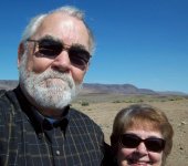
Everything going marvelous....
 

Attachments

  • 33417.jpg
    33417.jpg
    142.6 KB · Views: 311
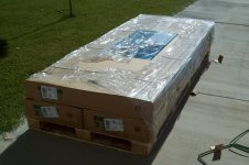
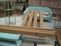
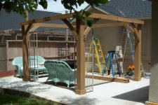
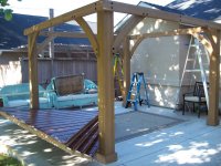
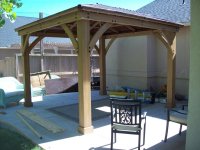
My Gazebo

Been too busy putting this up to off-road.
 

Attachments

  • gz01-750 pounds.jpg
    gz01-750 pounds.jpg
    135.4 KB · Views: 298
  • gz13-bldg posts and beams.jpg
    gz13-bldg posts and beams.jpg
    137.4 KB · Views: 292
  • gz15-posts-beams-gussets complete.jpg
    gz15-posts-beams-gussets complete.jpg
    138.8 KB · Views: 298
  • gz19-posts-beams and panels.jpg
    gz19-posts-beams and panels.jpg
    136.5 KB · Views: 298
  • gz23.jpg
    gz23.jpg
    132.8 KB · Views: 291
Some pics I neglected to post

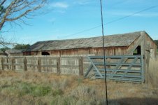
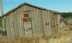
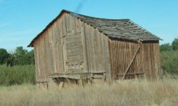
At Ragtown - end of Fortymile Desert:
 

Attachments

  • RA01-Ragtown.jpg
    RA01-Ragtown.jpg
    142 KB · Views: 244
  • RA02.jpg
    RA02.jpg
    133.8 KB · Views: 250
  • RA03.jpg
    RA03.jpg
    132.5 KB · Views: 249
  • RA04.jpg
    RA04.jpg
    77.3 KB · Views: 258
  • RA05.jpg
    RA05.jpg
    86.9 KB · Views: 253
Trek 339 - Carson River - Desert Station

Actually two small treks over two days.

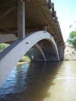
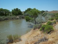
Thursday 22 June to the Carson River below the Lahontan Dam for a couple of pictures under the bridge of the river.

Friday 23 June to Desert Station (nothing left) and Misfits Flat both in Stagecoach (east of Dayton). This was where the movie "Misfits" scenes of the mustangs being captured was filmed. Starred Clark Gable and Marilyn Monroe in 1961 (last films for both).
 

Attachments

  • DS01.jpg
    DS01.jpg
    132.3 KB · Views: 244
  • DS02.jpg
    DS02.jpg
    136.7 KB · Views: 224
  • DS03.jpg
    DS03.jpg
    137.7 KB · Views: 245
  • DS04.jpg
    DS04.jpg
    139.3 KB · Views: 230
Trek 340 - 25 June 2017

Took a ride out to Brady's/Nightingale exit. Roamed around in the sand and brush north of the highway until I was kinda lost. Turned on the gps; got out the topos and navigated my way back to a service road near the highway.

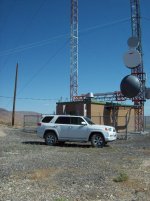
Followed the service road until it let me up to a ridge top radio station. Pretty good views from there. Then as there was no other way down except for the way up I returned to Fernley. Lovely day for exercising the 4wd.
 

Attachments

  • 340-01.jpg
    340-01.jpg
    132.8 KB · Views: 225
  • 340-02-View from radio sta.jpg
    340-02-View from radio sta.jpg
    136.4 KB · Views: 233
  • 340-03.jpg
    340-03.jpg
    137.7 KB · Views: 234
  • 340-04.jpg
    340-04.jpg
    136.7 KB · Views: 234
  • 340-05.jpg
    340-05.jpg
    137.6 KB · Views: 236
  • 340-06.jpg
    340-06.jpg
    135.9 KB · Views: 230
Fire, fire Everywhere

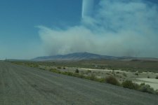
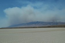
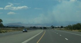
It all started July 3rd - Fernley was covered with smoke. So much smoke that one couldn't tell where it was coming from. Took a cousin out to the craters that I had discovered two months ago and could see that it was coming from the Truckee Range of mountains. On July 4th the whole range was burning from Wadsworth to Nixon.

Took cousin to the airport on the fourth and there had been several big fires all the way from Fernley to Sparks. In fact Interstate 80 had been closed for most of the afternoon of the third. Two fires near Sprks were about 40,000 acres; one near the halfway point between Sparks and Fernley was about 25,000 acres. At 10:00 pm on the 4th the Truckee Range fire was estimated at 60,000 acres. Today the other side of the Truckee Range has been burnt. My estimate is that it is now nearly 100,000 acres.

Most is uninhabited BLM rangeland = very little property damage.
 

Attachments

  • ff01-Truckee Range Fire.jpg
    ff01-Truckee Range Fire.jpg
    94.3 KB · Views: 179
  • ff06-two tips burning.jpg
    ff06-two tips burning.jpg
    72.3 KB · Views: 202
  • ff08-sleeping dragon.jpg
    ff08-sleeping dragon.jpg
    131 KB · Views: 203
  • ff14-now at olinghouse.jpg
    ff14-now at olinghouse.jpg
    55.2 KB · Views: 192

Members online

Forum statistics

Threads
278,310
Messages
3,554,078
Members
248,016
Latest member
Advally Service

Trending content

Back
Top