

You are using an out of date browser. It may not display this or other websites correctly.
You should upgrade or use an alternative browser.
You should upgrade or use an alternative browser.
2013 SR5 4x4 Update
- Thread starter Ron4RNevada
- Start date
Ron4RNevada
New member
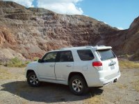
Another day in the life of the "Trail Boss"
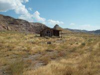
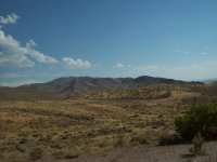
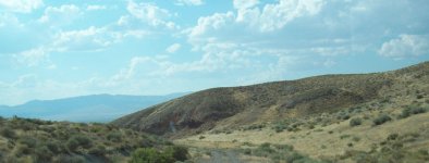
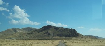
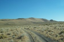
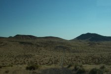
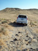
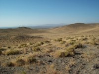
170811 - Hot Springs - Trek 344
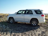
Another day in the life of the little “Trail Boss”. Yeah I used to call the LR Discovery that.
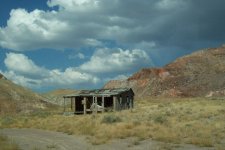
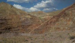
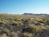
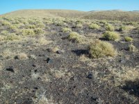
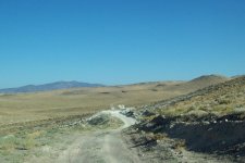
Today we’re just wandering around in the Hot Springs Range. Sometimes I think I could wander around here forever.
Today was just about 5 hours of exercize.
170811 - Hot Springs - Trek 344
Another day in the life of the little “Trail Boss”. Yeah I used to call the LR Discovery that.
Today we’re just wandering around in the Hot Springs Range. Sometimes I think I could wander around here forever.
Today was just about 5 hours of exercize.
Attachments
Ron4RNevada
New member
8-17-17
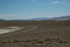
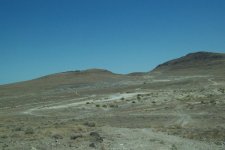
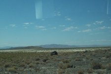
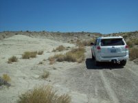
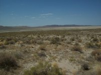
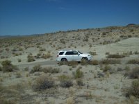
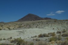
Just north of Salt Wells; an area where the local Fallon kids and the Navy Seal Team Special Forces go out and play.
I was in the area so spent a couple hours playing.
Just north of Salt Wells; an area where the local Fallon kids and the Navy Seal Team Special Forces go out and play.
I was in the area so spent a couple hours playing.
Attachments
Ron4RNevada
New member
26 Aug 2017 - Craters-Seven Troughs-Poker Brown
170826 Trek 345 - Craters, Seven Troughs, Farrel, Poker Brown
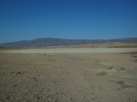
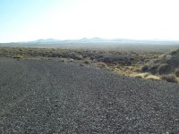
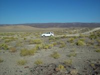
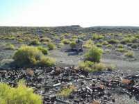
Lou and I head out of town at about 8:00am. First Stop to run him out to those two volcano craters just south of the old highway 40. After driving across the rims and bottoms of both craters we stop to inspect a trash dup at the base of the outer rim of the first crater. It appears that the artifacts ar from the mid 1930s; about the time that the old highway 40 was first paved.
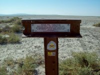
Next stop at the Jessup exit and drive out to a trail marker for the California Trail at Alkali Flat/White Plains. Then we head on to a fine Breakfast at The Black Rock Casino in Lovelock.
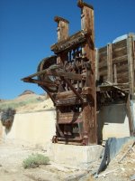
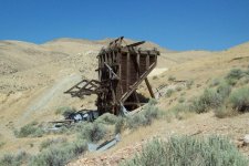
After breakfast we head northwest over Trinity Pass and then across the flats to Tunnel Camp in the Seven Troughs Range. The range has been mined (in all of it’s seven east facing canyons) for the past 100 plus years. Most of the milling was done at Tunnel Camp. After some time exploring Tunnel Camp we drove up to the end of the trail above the town.
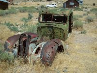
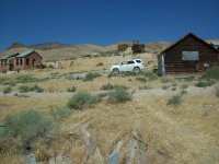
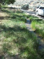
From Tunnel Camp we headed north on the Sulfur road until we came to Farrel. All of the old cars from the 30s that were at the mouth of the canyon last time I was here about 5 years ago are now gone. A lot of the old trucks at Tunnel Camp are now gone too. We only drove up one branch of the canyon to the ranch line camp and corral. Lots of water still running down the creek this late in August.
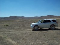
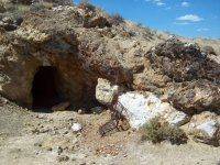
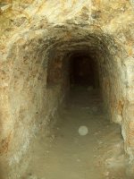
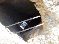
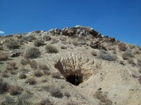
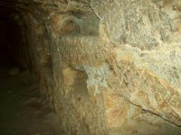
From Farrel we returned to the Sulfur Road; crossed Rocky Pass and then turned east near the site of Placeritas and headed across Poker Brown Gap between The Majuba Range and the Trinity Range towards Lovelock. This turned out to be some rather slow going. A few weeks ago there had been a large fire at the north end of the Trinity Range and the firefighters have really torn up the road to stop the fire. We made a stop at Poker Brown and explored the mine tunnels a bit.
Eventually got back to Fernley in the late afternoon. There are a lot of “Burners” on the highway headed for Fernley and Wadsworth to stock up and head for Gerlach and the Black Rock.
I took about forty pictures:
170826 Trek 345 - Craters, Seven Troughs, Farrel, Poker Brown
Lou and I head out of town at about 8:00am. First Stop to run him out to those two volcano craters just south of the old highway 40. After driving across the rims and bottoms of both craters we stop to inspect a trash dup at the base of the outer rim of the first crater. It appears that the artifacts ar from the mid 1930s; about the time that the old highway 40 was first paved.
Next stop at the Jessup exit and drive out to a trail marker for the California Trail at Alkali Flat/White Plains. Then we head on to a fine Breakfast at The Black Rock Casino in Lovelock.
After breakfast we head northwest over Trinity Pass and then across the flats to Tunnel Camp in the Seven Troughs Range. The range has been mined (in all of it’s seven east facing canyons) for the past 100 plus years. Most of the milling was done at Tunnel Camp. After some time exploring Tunnel Camp we drove up to the end of the trail above the town.
From Tunnel Camp we headed north on the Sulfur road until we came to Farrel. All of the old cars from the 30s that were at the mouth of the canyon last time I was here about 5 years ago are now gone. A lot of the old trucks at Tunnel Camp are now gone too. We only drove up one branch of the canyon to the ranch line camp and corral. Lots of water still running down the creek this late in August.
From Farrel we returned to the Sulfur Road; crossed Rocky Pass and then turned east near the site of Placeritas and headed across Poker Brown Gap between The Majuba Range and the Trinity Range towards Lovelock. This turned out to be some rather slow going. A few weeks ago there had been a large fire at the north end of the Trinity Range and the firefighters have really torn up the road to stop the fire. We made a stop at Poker Brown and explored the mine tunnels a bit.
Eventually got back to Fernley in the late afternoon. There are a lot of “Burners” on the highway headed for Fernley and Wadsworth to stock up and head for Gerlach and the Black Rock.
I took about forty pictures:
Attachments
-
 34501-Crater.jpg139.2 KB · Views: 206
 -
 34502-From Crater 2.jpg137.7 KB · Views: 194
 -
 34504-At Old Dump.jpg136.5 KB · Views: 209
 -
 34505-Antiqueing.jpg140.6 KB · Views: 233
 -
 34506-At Jessup Exit.jpg139 KB · Views: 186
 -
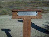 34507-Alkali Flat.jpg135.6 KB · Views: 188
 -
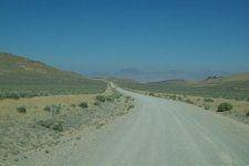 34509-Trinity Pass.jpg102.6 KB · Views: 189
Ron4RNevada
New member
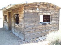
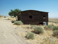
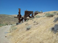
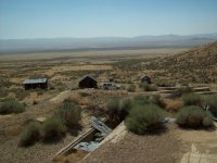
At Seven Troughs
Seven Troughs
Seven Troughs
Attachments
-
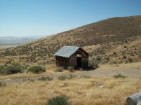 34511-Seven Troughs.jpg135.7 KB · Views: 183
 -
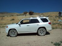 34512-Seven.jpg135.6 KB · Views: 191
 -
 34513-Seven.jpg138.5 KB · Views: 195
 -
 34515-7.jpg136.8 KB · Views: 195
 -
 34516.jpg136.5 KB · Views: 203
 -
 34517-View from Seven Troughs.jpg136.6 KB · Views: 199
 -
 34518-Stamp Mill.jpg136.6 KB · Views: 203
 -
 34520-Ore Chute.jpg139.5 KB · Views: 205
Ron4RNevada
New member
More Seven Troughs
then on to Farrell
then on to Farrell
Attachments
-
 34523.jpg139.9 KB · Views: 200
 -
 34524.jpg137 KB · Views: 201
 -
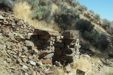 34529-Farrel.jpg146.2 KB · Views: 204
 -
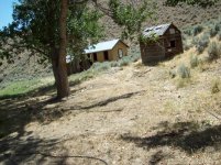 34530-Farrel.jpg142.8 KB · Views: 206
 -
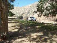 34531.jpg142.3 KB · Views: 196
 -
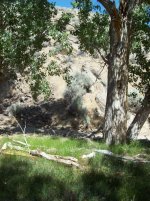 34532.jpg145.8 KB · Views: 192
 -
 34533-Farrel Creek.jpg140.7 KB · Views: 197
 -
 34535-Burn at Poker Brown Gap.jpg137.2 KB · Views: 190
Ron4RNevada
New member
Ron4RNevada
New member
Trek 346 - Looking for Camp Terrill and Pyramid Mine
170907-Trek 346-Terrill Site and Pyramid Mine
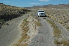
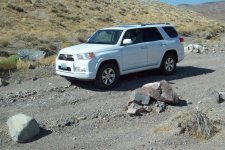
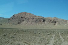
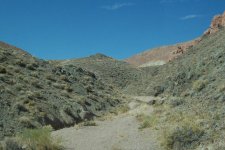
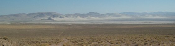
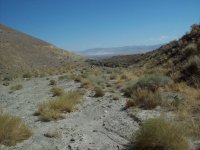
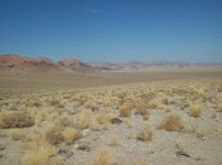
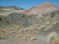
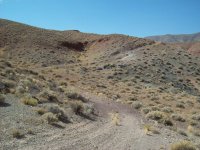
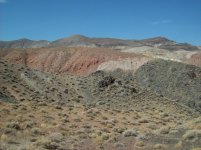
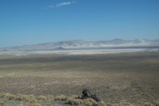
Well this was an interesting day. I went looking for Terrill Camp and the Pyramid Mine. I didn’t find either one. They are both in the Terrill Mountains and Red Ridge area just south of the Naval Bombing Range on Rawhide Flat just south of the Blow Sand Mountains.
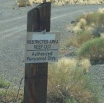
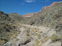
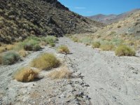
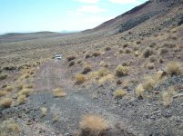
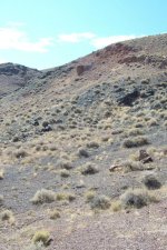
I trespassed across a corner of the bombing range and explored every faint track that went into the Terrill mountains to no avail. All of the tracks have been used very little and it looks as if they have all been washed out by last years heavy snow melt. Well I got in several short hikes scouting around looking for a route into the arroyos. I don’t know if there is anything left of either the camp or the mine as I didn’t find either one.
It is all about the search -
170907-Trek 346-Terrill Site and Pyramid Mine
Well this was an interesting day. I went looking for Terrill Camp and the Pyramid Mine. I didn’t find either one. They are both in the Terrill Mountains and Red Ridge area just south of the Naval Bombing Range on Rawhide Flat just south of the Blow Sand Mountains.
I trespassed across a corner of the bombing range and explored every faint track that went into the Terrill mountains to no avail. All of the tracks have been used very little and it looks as if they have all been washed out by last years heavy snow melt. Well I got in several short hikes scouting around looking for a route into the arroyos. I don’t know if there is anything left of either the camp or the mine as I didn’t find either one.
It is all about the search -
Attachments
-
 34601-off the hghwy.jpg139.2 KB · Views: 148
 -
 34602-Rawhide Wash.jpg142.6 KB · Views: 169
 -
 34603-Well hell.jpg126.6 KB · Views: 167
 -
 34604-the Pyramid.jpg137.8 KB · Views: 168
 -
 34605-1st dead end.jpg139.3 KB · Views: 148
 -
 34606-Bomb Range.jpg136.4 KB · Views: 165
 -
 34607=Washed out.jpg139 KB · Views: 157
 -
 34608-2nd dead end.jpg140 KB · Views: 158
Ron4RNevada
New member
346 page 2
page 2
page 2
Attachments
-
 34609-Turned around.jpg137.3 KB · Views: 163
 -
 34610-Oh well.jpg136.7 KB · Views: 162
 -
 34611-3rd dead end.jpg137.9 KB · Views: 155
 -
 34612-Maybe.jpg139 KB · Views: 166
 -
 34613-Red Ridge.jpg137.3 KB · Views: 157
 -
 34614-Rawhide Flat.jpg127.4 KB · Views: 158
 -
 34615-scouting.jpg137.7 KB · Views: 162
 -
 34616-Nice day for a hike.jpg141.7 KB · Views: 158
Ron4RNevada
New member
Ron4RNevada
New member
Ron4RNevada
New member
Ron4RNevada
New member
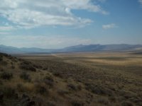
Fireball Ridge - North Valley - Hot Springs
170915 - Fireball Ridge - 15 Sept 2017
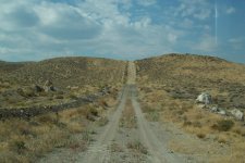
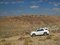
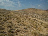
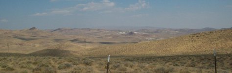
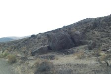
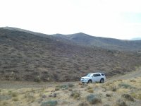
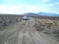
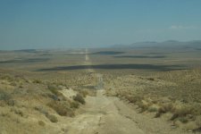
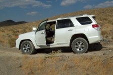
Ran up to the north end of the 100,000 acre Truckee Range Fire to see what the full extent of it was. It turns out it had consumed all of the Fireball Ridge, part of the North Valley, all of Tolbert Canyon, Two Tips, Juniper Peak and Black Warrior Peak.
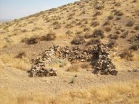
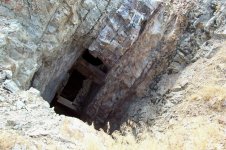
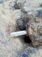
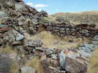
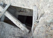
I went up the Fireball Ridge track until I got to the pass where I had talked to the Idaho Firemen. I found several old mine that I had never noticed before; fire removes all the brush and uncovers mine tailing and roads! After a few hours I returned to the Hot Springs Mountains and spent some time testing the rocks and loose sand.
Some pics of the burnt areas, mines, etc
170915 - Fireball Ridge - 15 Sept 2017
Ran up to the north end of the 100,000 acre Truckee Range Fire to see what the full extent of it was. It turns out it had consumed all of the Fireball Ridge, part of the North Valley, all of Tolbert Canyon, Two Tips, Juniper Peak and Black Warrior Peak.
I went up the Fireball Ridge track until I got to the pass where I had talked to the Idaho Firemen. I found several old mine that I had never noticed before; fire removes all the brush and uncovers mine tailing and roads! After a few hours I returned to the Hot Springs Mountains and spent some time testing the rocks and loose sand.
Some pics of the burnt areas, mines, etc
Attachments
-
 34701-Pole Line Rd.jpg136.9 KB · Views: 386
 -
 34702-PLR.jpg134.8 KB · Views: 381
 -
 34703-PLR.jpg137.4 KB · Views: 391
 -
 34704-Nth of PLR.jpg82.8 KB · Views: 385
 -
 34705-at 1st Mine.jpg139.1 KB · Views: 379
 -
 34706-1st mine.jpg145.3 KB · Views: 385
 -
 34707-1st mine.jpg141.9 KB · Views: 379
 -
 34708-North Valley.jpg129.6 KB · Views: 392
Ron4RNevada
New member
more trek 347
pics of 2nd and 3rd mines, etc
pics of 2nd and 3rd mines, etc
Attachments
-
 34709-Burnt-Fireball.jpg134.3 KB · Views: 384
 -
 34710-Stone House.jpg139.3 KB · Views: 397
 -
 34711-2nd mine.jpg141.4 KB · Views: 395
 -
 34712-at 2nd mine.jpg134.9 KB · Views: 379
 -
 34717-Tolbert fire rd.jpg137.2 KB · Views: 382
 -
 34719-gas line rd.jpg125.7 KB · Views: 389
 -
 34720-trail boss.jpg136.4 KB · Views: 384
 -
 34715-from 3rd mine.jpg127.9 KB · Views: 378
Ron4RNevada
New member
more trek 347
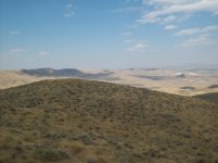
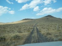
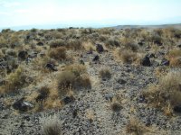
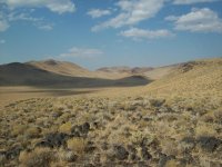
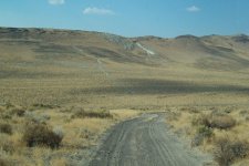
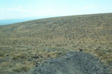
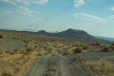
and a few pics in Hot Springs Mountains
and a few pics in Hot Springs Mountains
Attachments
Ron4RNevada
New member
22 Sept 2017
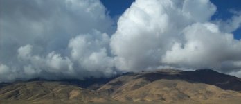
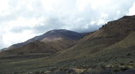
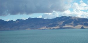
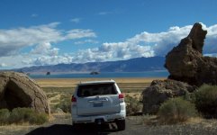
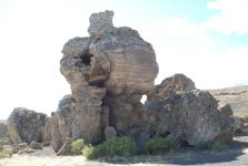
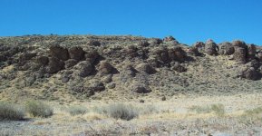
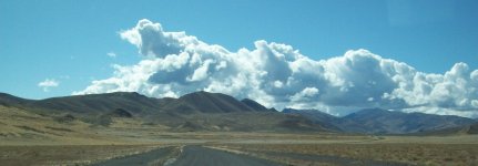
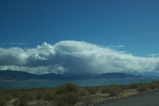
Lots of clouds photos along the west side of Pyramid Lake Paiute Indian Reservation. From Sutcliff, Willow Ranch, Zenobia - - -
Lots of clouds photos along the west side of Pyramid Lake Paiute Indian Reservation. From Sutcliff, Willow Ranch, Zenobia - - -
Attachments
Ron4RNevada
New member
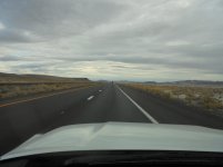
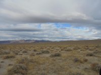
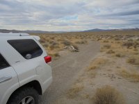
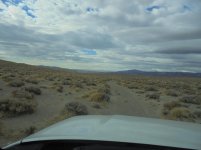
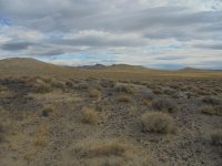
Trek 348
First day out on the trail since returning from visiting Pennsylvania, Maryland, West Virginia, Virginia, North Carolina and South Carolina.
Did Gettysburg, Antietam, Shepherdstown, Richmond, Charlottesville, Charlotte, Blue Ridge Parkway, a bunch of plantations, the biltmore, drove to the top of Mt Mitchell, etc. Then lost my camera on the way back
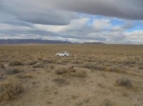
So today back in Nevada with a new camera I'm out and about again in four wheel drive - I can see scenery again! No trees in the way!
First day out on the trail since returning from visiting Pennsylvania, Maryland, West Virginia, Virginia, North Carolina and South Carolina.
Did Gettysburg, Antietam, Shepherdstown, Richmond, Charlottesville, Charlotte, Blue Ridge Parkway, a bunch of plantations, the biltmore, drove to the top of Mt Mitchell, etc. Then lost my camera on the way back
So today back in Nevada with a new camera I'm out and about again in four wheel drive - I can see scenery again! No trees in the way!
Ron4RNevada
New member
Ron4RNevada
New member
Thoughts on East Coast trip
Though I lost my camera and about 400 photos I have some lasting impressions.
I had always wanted to drive the Blue Ridge Parkway. It's a long slow beautiful road and I'm glad I did it. Even managed to drive to the top of Mt Mitchell in North Carolina, elevation 6684, the tallest peak east of the Mississippi. Too bad there are very few places to enjoy the view because of the tree growth. Views obstructed by too many trees is true of pretty much all of North Carolina Highways; for hundreds of miles you see nothing but the two lanes in your direction plus well mown shoulder strips and very dens borders of trees. SC, VA, MD, PA, WV also lined with trees but not as bad as NC.
NC is also populated with absolutely crazy drivers; typically trying to drive at 80 mph when the speed limit is 60 or 65. They tailgate even when there is an open lane next to you. They will cut you off in a heartbeat. I was amazed to not see a single accident in three weeks.
The Gettysburg and Antietam National Battlefields are a must see. I took a scenic route between the two over the Catoctin Mountains - I hit the perfect time for full fall colors.
Monticello and the Biltmore Estate are also well worth the time.
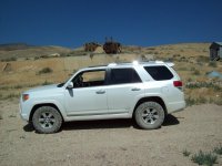
I had a rental Nissan Pathfinder while I was there - If that is what the car writers are praising over the "Dinosaur" 4runner I'll keep my dinosaur for ever.
It is such a pleasure to be back in Nevada where I can see mountain ranges forever unobstructed by trees.
Though I lost my camera and about 400 photos I have some lasting impressions.
I had always wanted to drive the Blue Ridge Parkway. It's a long slow beautiful road and I'm glad I did it. Even managed to drive to the top of Mt Mitchell in North Carolina, elevation 6684, the tallest peak east of the Mississippi. Too bad there are very few places to enjoy the view because of the tree growth. Views obstructed by too many trees is true of pretty much all of North Carolina Highways; for hundreds of miles you see nothing but the two lanes in your direction plus well mown shoulder strips and very dens borders of trees. SC, VA, MD, PA, WV also lined with trees but not as bad as NC.
NC is also populated with absolutely crazy drivers; typically trying to drive at 80 mph when the speed limit is 60 or 65. They tailgate even when there is an open lane next to you. They will cut you off in a heartbeat. I was amazed to not see a single accident in three weeks.
The Gettysburg and Antietam National Battlefields are a must see. I took a scenic route between the two over the Catoctin Mountains - I hit the perfect time for full fall colors.
Monticello and the Biltmore Estate are also well worth the time.
I had a rental Nissan Pathfinder while I was there - If that is what the car writers are praising over the "Dinosaur" 4runner I'll keep my dinosaur for ever.
It is such a pleasure to be back in Nevada where I can see mountain ranges forever unobstructed by trees.

Ray Dunakin
Senior Member
I was in NC for a few days back in 1995 and had the same thoughts as you regarding the trees. Everywhere you go,
you can't see a thing except a wall of trees on each side of the road. It felt very claustrophobic. I think it would be very difficult to find your way
around in a place like that. Even here in San Diego you can generally see to the horizon and instantly determine your
location in relation to landmarks.
you can't see a thing except a wall of trees on each side of the road. It felt very claustrophobic. I think it would be very difficult to find your way
around in a place like that. Even here in San Diego you can generally see to the horizon and instantly determine your
location in relation to landmarks.
Last edited:
Similar threads
- Replies
- 0
- Views
- 106
- Replies
- 10
- Views
- 5K
- Replies
- 0
- Views
- 2K

- Replies
- 0
- Views
- 2K

