4R Trek 293 - Over the Top of Churchill Butte – 19 Nov 2015
Left the house at 8am; stopped for gas, atm for cash, store for snacks and on the way. Traveled south on 95Alt to Silver Springs (about 15 miles) and then turned off onto Micro Road. Really nothing on it and I have no idea why it even has a name. Anyway it winds along for about 5 miles, climbing about 1800 feet and ends at the top of Churchill Butte. The final half mile was only doable in 1st gear and the traction control ON (A-Trac). It was a 35 degree climb and lots of loose boulders. Scraped the step on the right side a lot. Did I mention a small wild horse herd (half dozen mares and colts) at 5200 feet.
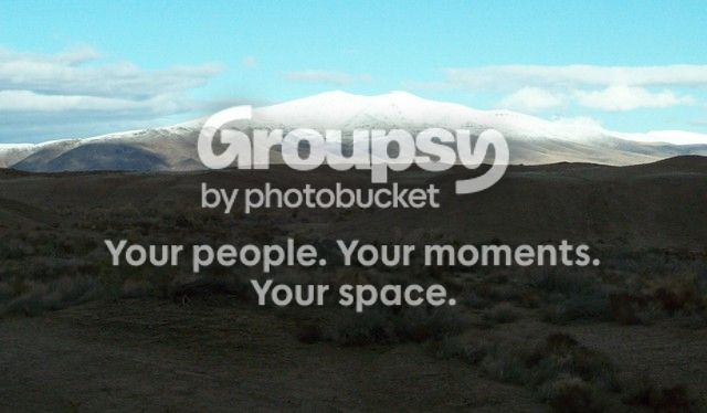
Up on top is a complicated Radio Relay Station (6024 feet elev.) and a tremendous view of all the country down below at about 4200 feet. To the north Silver Springs is an unincorporated town of perhaps 1000 souls spreading over perhaps 30 square miles. To the east is Lake lahontan Reservoir which is waterless this year. To the south is Ft Churchill (1860) and the Nevada Automotive Test Center. To the west is Dayton and Carson City (hidden by mountains) and the Sierra Nevada Mountains with snow.
I hiked around on top a bit and then decided I might try a trail going down the opposite side of the mountain that services the power line for the relay site. From a distance it looked all right. Going down it was already a challenge in the first 100 yards and then proceeded to get worse. The whole 6 miles and 1800 foot drop was done in low range and I was only able to use 1st and 2nd gears. In two sections the descent was so steep (35 to 40 degrees?) and so loose I was forced to use the Downhill Assist Control (DAC).
Nearing the bottom, within a mile of NATC the rocks got big enough that I had to move some. Also got out a lot to look over blind edges to see where the heck the trail really was. The final quarter mile to mention was a mess. Those guys spend most of their time testing mods to combat military vehicles. The test center looks like it covers maybe 8 to 10 square miles with every kind of obstacle you can imagine. Most of the road intersections caution about dangerouse conditions but no NO TRESPASSING signs. Of course since I was coming off the mountain and moving towards the Ft Churchill Road, no one bothered with me.
I suppose I could go back some time and explore some more.
This new computer (HP 15 Notebook) and Windows 10 along with the new Windows Word are frustrating the hell out of me!
I'll get to the photos a bit later - - -