Ron's Wanderings Since December 2014

First snow of the season

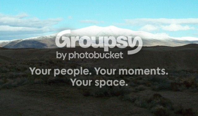
Well actually it was only about 1 1/2 inch of rain at my place (4200 feet) but the hills above 5000 feet got a bit of the white stuff:

NOV3_zps8wpsbsne.jpg~original


Should have a bit down to my level tonight......
 
4R Trek 291 - Looking for the Ruth Mine - 05 November

151105 4R Trek 291 – Looking for the Ruth Mine.

Thursday morning and it’s about 23 degrees. The last snow was on Monday morning just above 5000 feet. I headed south from Fernley down through Silver Springs and eventually turned west onto Fort Churchill Road.

Just to the north of Fort Churchill is Churchill Butte (6031 feet) it still has some snow on top. I turn due north on a trail that crosses a relatively flat track for about a mile and then follows a wash to the NNW. The wash crosses the track several times and the snow melt has washed out a few spots making for some on foot self spotting. I explore several branching washes and never do find the mine just a few places where there have been some prospecting. On the topo map the “Ruth Mine” is at 39-19.75N and 119-17.00W. Later when I get home and check the topo at a finer resolution I find that there are several shafts located at 39-19.10N and 119-16.65W. That gives me an excuse to go back and explore some more.

29105-snowmelt%20ravines_zpsm2ehaawq.jpg~original

[imghttp://i448.photobucket.com/albums/qq207/patstuff45/4R%20Trek%20291%20Looking%20for%20Ruth%20Mine/29107-looking%20back_zpspkqgsvlx.jpg[/img]
29108-search%20for%20real%20trail_zpsygcsbkyb.jpg~original

29111-another%20decision_zpsc8aph7lt.jpg~original

29113-trail%20ends_zpskp9vi3bi.jpg~original

29114-turned%20around_zpslynnouqk.jpg~original

29115-down%20again_zpsbocx40bb.jpg~original

29116-another%20turn%20around_zpsakaomdei.jpg~original

29117_zps7b5cllfz.jpg~original

THASS ALL FOLKS!
 
4R Trek 292 - Shooting

151108-MGL Shooters

Nov 8 – My brother and I drove up the eastern side of dry Lake Winnemucca and did some target shooting at the MGL Mine Mill (Tungsten).

Spent most of the day there. Looked like snow all day but didn’t happen. We’re both getting really rusty at the shooting.

29201-Gary%20Loading%20Up_zps9a6awipy.jpg~original


29206-MGL%20Mill_zpspapr1qzw.jpg~original


29208_zpst3fvqdxc.jpg~original


29210_zpsyqjg8e3y.jpg~original


29211-MGL%20Canyon_zpscgm7sxqh.jpg~original


29212_zpsq40hxh0v.jpg~original


For the gun enthusiasts - The revolver is a EXCAM copy of a colt.
with .22 LR and .22 MAG cylinders. No I don't carry when I'm typically off roading. Just when we are out deliberately to do some plinking.
 
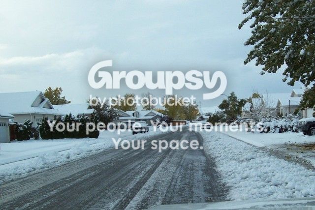
Second snow of the season last night

ns11_zpsepvmhflv.jpg~original


ns10_zpsko2rgbgy.jpg~original


ns09_zpshcd1yzej.jpg~original


ns02-our%20street_zpsr1qa7zwz.jpg~original


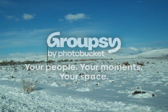
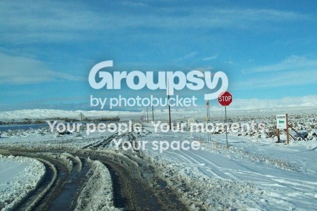
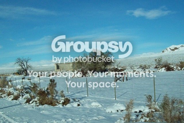
About five inches on my driveway - I hope this will continue and make up for the past four years of drought.
 
4R Trek 293 - Churchill Butte

4R Trek 293 - Over the Top of Churchill Butte – 19 Nov 2015
Left the house at 8am; stopped for gas, atm for cash, store for snacks and on the way. Traveled south on 95Alt to Silver Springs (about 15 miles) and then turned off onto Micro Road. Really nothing on it and I have no idea why it even has a name. Anyway it winds along for about 5 miles, climbing about 1800 feet and ends at the top of Churchill Butte. The final half mile was only doable in 1st gear and the traction control ON (A-Trac). It was a 35 degree climb and lots of loose boulders. Scraped the step on the right side a lot. Did I mention a small wild horse herd (half dozen mares and colts) at 5200 feet.
Up on top is a complicated Radio Relay Station (6024 feet elev.) and a tremendous view of all the country down below at about 4200 feet. To the north Silver Springs is an unincorporated town of perhaps 1000 souls spreading over perhaps 30 square miles. To the east is Lake lahontan Reservoir which is waterless this year. To the south is Ft Churchill (1860) and the Nevada Automotive Test Center. To the west is Dayton and Carson City (hidden by mountains) and the Sierra Nevada Mountains with snow.
I hiked around on top a bit and then decided I might try a trail going down the opposite side of the mountain that services the power line for the relay site. From a distance it looked all right. Going down it was already a challenge in the first 100 yards and then proceeded to get worse. The whole 6 miles and 1800 foot drop was done in low range and I was only able to use 1st and 2nd gears. In two sections the descent was so steep (35 to 40 degrees?) and so loose I was forced to use the Downhill Assist Control (DAC).
Nearing the bottom, within a mile of NATC the rocks got big enough that I had to move some. Also got out a lot to look over blind edges to see where the heck the trail really was. The final quarter mile to mention was a mess. Those guys spend most of their time testing mods to combat military vehicles. The test center looks like it covers maybe 8 to 10 square miles with every kind of obstacle you can imagine. Most of the road intersections caution about dangerouse conditions but no NO TRESPASSING signs. Of course since I was coming off the mountain and moving towards the Ft Churchill Road, no one bothered with me.
I suppose I could go back some time and explore some more.

This new computer (HP 15 Notebook) and Windows 10 along with the new Windows Word are frustrating the hell out of me!

I'll get to the photos a bit later - - -

 
Hey Ron - like your thread here, keep 'em coming! I'd love to have the time to visit old ghost towns here in AZ. Maybe someday. Until then I'll live vicariously through good threads like this :)
 
Windows 10 vs T4R

I've had Win 10 for a week - trying to upload photos from photobook to this site - Get about six loaded and the reply just disappears!

29316-6024%20feet_zpspktjkl9u.jpg~original

29328-a%20harem_zps8y8ucohz.jpg~original


Let's try again just two photos
 
4R Trek 293 - Over the Top of Churchill Butte – 19 Nov 2015
Left the house at 8am; stopped for gas, atm for cash, store for snacks and on the way. Traveled south on 95Alt to Silver Springs (about 15 miles) and then turned off onto Micro Road. Really nothing on it and I have no idea why it even has a name. Anyway it winds along for about 5 miles, climbing about 1800 feet and ends at the top of Churchill Butte. The final half mile was only doable in 1st gear and the traction control ON (A-Trac). It was a 35 degree climb and lots of loose boulders. Scraped the step on the right side a lot. Did I mention a small wild horse herd (half dozen mares and colts) at 5200 feet.
Up on top is a complicated Radio Relay Station (6024 feet elev.) and a tremendous view of all the country down below at about 4200 feet. To the north Silver Springs is an unincorporated town of perhaps 1000 souls spreading over perhaps 30 square miles. To the east is Lake lahontan Reservoir which is waterless this year. To the south is Ft Churchill (1860) and the Nevada Automotive Test Center. To the west is Dayton and Carson City (hidden by mountains) and the Sierra Nevada Mountains with snow.
I hiked around on top a bit and then decided I might try a trail going down the opposite side of the mountain that services the power line for the relay site. From a distance it looked all right. Going down it was already a challenge in the first 100 yards and then proceeded to get worse. The whole 6 miles and 1800 foot drop was done in low range and I was only able to use 1st and 2nd gears. In two sections the descent was so steep (35 to 40 degrees?) and so loose I was forced to use the Downhill Assist Control (DAC).
Nearing the bottom, within a mile of NATC the rocks got big enough that I had to move some. Also got out a lot to look over blind edges to see where the heck the trail really was. The final quarter mile to mention was a mess. Those guys spend most of their time testing mods to combat military vehicles. The test center looks like it covers maybe 8 to 10 square miles with every kind of obstacle you can imagine. Most of the road intersections caution about dangerouse conditions but no NO TRESPASSING signs. Of course since I was coming off the mountain and moving towards the Ft Churchill Road, no one bothered with me.
I suppose I could go back some time and explore some more.

This new computer (HP 15 Notebook) and Windows 10 along with the new Windows Word are frustrating the hell out of me!

I'll get to the photos a bit later - - -

Hey Ron,

Do you know the whereabouts of more herds? A good friend of mine is a biology professor and brought a class out from NY last spring. I know she had some good luck around Virginia City but there were some pretty elusive herds too. Just curious...

Thanks for posting the photos---fun thread!

Best, Kristy
 
N. Nevada is pretty much over run with wild horses and jackasses everywhere. The BLM tries to keep them thinned down enough so that they're not overgrazing. True = around the Virginia City area they are really overcrowded as it is NOT BLM so no thinning going on. Private land and bleeding heart city slickers keeps it overpopulated.
 

Members online

Forum statistics

Threads
278,316
Messages
3,554,111
Members
248,016
Latest member
Advally Service

Trending content

Back
Top