2013 SR5 4x4 Update

Dr says get more exercise

Well I'm not one of those other old g uys that enjoys walking around the block pushing a tiny dog or going to a gym. Boring!

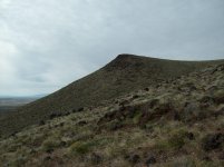
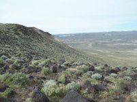
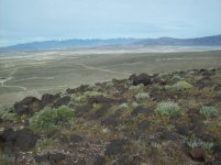
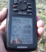
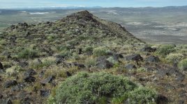
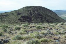
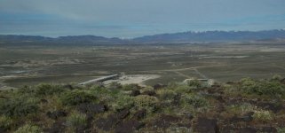
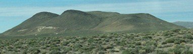
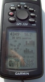
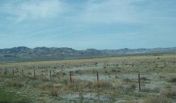
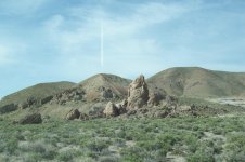
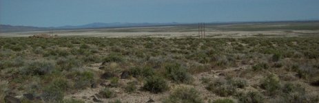
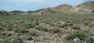
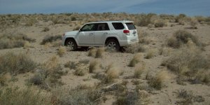
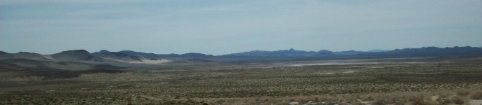
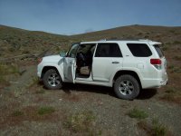
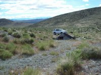
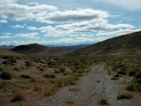
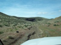
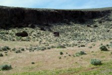
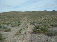
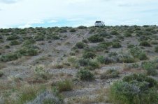
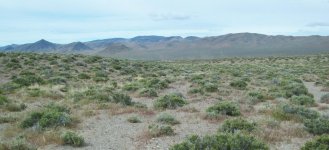
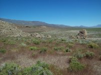
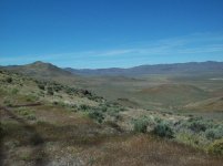
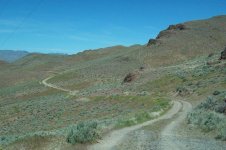
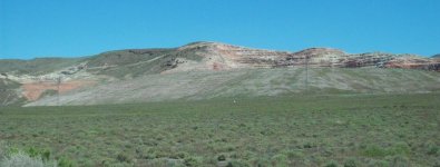
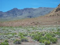
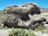
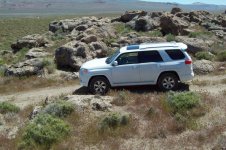
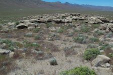
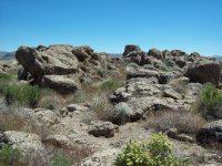
So I drove out to the north side of Black Butte (an old volcanic butte in the "Hot Springs Range" about five miles from the house; parked the 4Runner and proceeded to hike to the top.

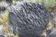
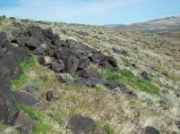
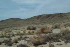
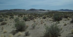
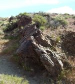
It's very steep; covered with basalt boulders, sagebrush and salt brush; and the slope never lets up. It took me about two hours round trip. I was pretty pooped when I got to the top so decided to take a short cut down a steep ravine back to the truck = mistake!

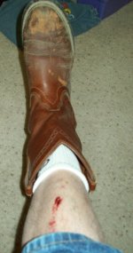
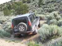
Near the bottom I got into some loose stuff and slid about ten feet - Turned myself into the slope and went into 4 wheel drive with A-Trac and DAC working very hard. I managed to scrape both shins just above the top of my boots.

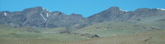
Ther are actually four peaks at the top - perhaps I'll do the others some time.
 

Attachments

  • BB02-On my way.jpg
    BB02-On my way.jpg
    61.1 KB · Views: 631
  • BB04-Half way Lkg West.jpg
    BB04-Half way Lkg West.jpg
    87.2 KB · Views: 622
  • BB06-Lkg N.jpg
    BB06-Lkg N.jpg
    74.7 KB · Views: 627
  • BB08-Looks like it exploded yesterday.jpg
    BB08-Looks like it exploded yesterday.jpg
    149 KB · Views: 627
  • BB10-4690 feet.jpg
    BB10-4690 feet.jpg
    129.4 KB · Views: 623
  • BB11-Peak to west.jpg
    BB11-Peak to west.jpg
    144.9 KB · Views: 616
  • BB12-Peak to S West.jpg
    BB12-Peak to S West.jpg
    64.3 KB · Views: 623
  • BB13-Fernley-NV.jpg
    BB13-Fernley-NV.jpg
    137.8 KB · Views: 615
a couple more hike to top of Black Butte pics
 

Attachments

  • BB17-The dead center peak.jpg
    BB17-The dead center peak.jpg
    46.8 KB · Views: 616
  • BB14-Scrape shins area.jpg
    BB14-Scrape shins area.jpg
    112.6 KB · Views: 620
  • BB16-4349 feet at truck.jpg
    BB16-4349 feet at truck.jpg
    104 KB · Views: 612
  • BB18-Right Shin.jpg
    BB18-Right Shin.jpg
    101.1 KB · Views: 599
It's been ten days - shins are about healed up. Haven't done any 4wheeling; had a bit of snow twice, high winds all week. Expecting a teensy bit of weather on Easter; after that hoping for spring.
 
It's been ten days - shins are about healed up. Haven't done any 4wheeling; had a bit of snow twice, high winds all week. Expecting a teensy bit of weather on Easter; after that hoping for spring.

Keep exploring and moving... :thumb:

Luckily, i'm still young enough and live in a climate where I can exercise on my mountain bike just about every day. It's what keeps me sane.

On of the reasons I got into 4wheeling was a shoulder injury that kept me off my bikes and motos for a year.... I'm pretty much healed from that, but hope to keep adventuring on 4 wheels for many years to come. It's a great option to get away from people, phones, traffic... and enjoy the outdoors.
 
Last edited:
Yep- This morning I'm headed out to look at the flooded areas south of Fallon due to the snow melt from our 125 year record winter. Perhaps pics later.
 
Trek 331 - Carson Lake-Russell Pass- Stinking Springs

170415-Trek 331-Carson Lake-Russell Pass-Stinking Springs-US Navy Bombing Range

I think this is the 90th documented trek for the 4Runner so far. It’s been 28 months since I bought her. Great little truck.

Today’s excuse was to check out the filling of the Carson Lake just south of Fallon. The lake has been mostly empty since I’ve lived in the area (about 18 years). This year because of the record breaking snows and rains for the past four months (125 years of record keeping) they (Nevada Dot and Truckee Irrigation District) have reinforced dams, spillways; deepened irrigation canals, enlarged and added highway culverts in order to capture all the expected snow-melt so that the Lahontan Valley doesn’t flood.

So today I checked it all out. Yes the Carson River flow is just beginning to reach the Lake via the Lahontan Reservoir, Scheckler Reservoir and all the new and rebuilt canals. Everything looks to be under control.

Afterwards I drove around the Russell Pass, White Throne Mts, Stinking Springs and the US Naval Bombing Range areas. Great excuse to exercise 4Hi, 4Lo, A-Trac and the tires. Mostly sandy areas. Great fun! I spent about 70 miles in 4 wheel drive.
 

Attachments

  • 331-01-Flats beginning to fill.jpg
    331-01-Flats beginning to fill.jpg
    88.4 KB · Views: 518
  • 331-02-Near Russell Pass.jpg
    331-02-Near Russell Pass.jpg
    135.8 KB · Views: 518
  • 331-03-Overlnd-PE route.jpg
    331-03-Overlnd-PE route.jpg
    121.7 KB · Views: 521
  • 331-04-Russell Pass.jpg
    331-04-Russell Pass.jpg
    144.6 KB · Views: 517
  • 331-05-Near Russell Spit.jpg
    331-05-Near Russell Spit.jpg
    141.5 KB · Views: 513
  • 331-06-Bombing Range.jpg
    331-06-Bombing Range.jpg
    57.3 KB · Views: 521
  • 331-07.jpg
    331-07.jpg
    136.3 KB · Views: 520
  • 331-08-Alkali flats.jpg
    331-08-Alkali flats.jpg
    138.2 KB · Views: 520
Keep going Ron. Always enjoy reading your reports. In other news I crashed my mtn bike today and slid across a bunch of rocks...
 
Keep going Ron. Always enjoy reading your reports. In other news I crashed my mtn bike today and slid across a bunch of rocks...
Sliding on rocks falling from a bike has got to be worse than just falling down a 45 degree slope on basalt.

Polysporin works fine.

By the way - the flats that are being flooded are the location of the Central Overland Trail and the Pony Express Trail. I have so far traveled about 80% of it in Nevada in 4WD.
 
I'm in SE MT and there is water standing everywhere. Also was recently in NW MT, N ID, and E WA - flooding, roads washing out etc. Has been a wet fall/winter/and so far spring in most of the west.:party:
 
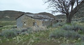
Trek 332-Austin to Battle Mountain

170417-Trek 332

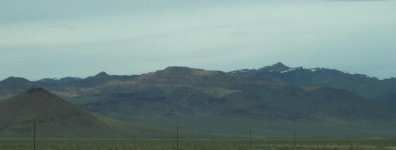
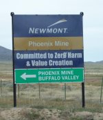
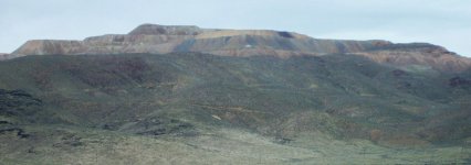
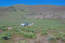
Austin to Battle Mountain; a road I had not before traveled. Of course to get to Austin I had to travel the 125 miles to Austin. Then 88 miles to Battle Mountain; then finally the 200 miles back home.

If you think US 50 is the loneliest road in America, you need to try NV 305. Anyway it was a lovely cool day threatening rain most of the way; finally turning into real rain between Winnemucca and Fernley.
 

Attachments

  • 33202-Cabin.jpg
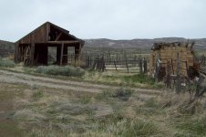
    33202-Cabin.jpg
    108.1 KB · Views: 472
  • 33203-Cattle chute.jpg
    33203-Cattle chute.jpg
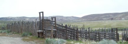
    86.5 KB · Views: 473
  • 33204-Barn.jpg
    33204-Barn.jpg
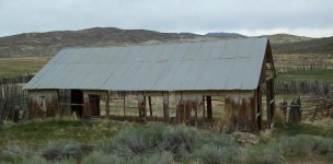
    138.6 KB · Views: 471
  • 33206-Barn-stone cold cellar.jpg
    33206-Barn-stone cold cellar.jpg
    135.9 KB · Views: 469
  • 33205-Stone House.jpg
    33205-Stone House.jpg
    142.4 KB · Views: 488
  • 33207-McCoy Mine.jpg
    33207-McCoy Mine.jpg
    45.4 KB · Views: 480
  • 33208-Newmont sign.jpg
    33208-Newmont sign.jpg
    75.3 KB · Views: 459
  • 33209-Mine.jpg
    33209-Mine.jpg
    95.9 KB · Views: 474
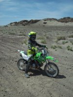
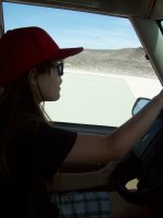
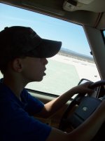
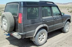
I noticed on a couple other threads talking about kids on off-road adventures. A couple of my grandkids driving the Discovery along with following me on their dirtbikes:
 

Attachments

  • 25112.jpg
    25112.jpg
    138.3 KB · Views: 457
  • 25121.jpg
    25121.jpg
    122.2 KB · Views: 464
  • 25122.jpg
    25122.jpg
    119.6 KB · Views: 468
  • 25115.jpg
    25115.jpg
    139 KB · Views: 474
A fe more from 2008
 

Attachments

  • 100_2902.jpg
    100_2902.jpg
    135 KB · Views: 452
  • 100_2896.jpg
    100_2896.jpg
    135.3 KB · Views: 476
  • 125-05 Victoria drives first time.jpg
    125-05 Victoria drives first time.jpg
    82.4 KB · Views: 467
  • 100_2865.jpg
    100_2865.jpg
    143.3 KB · Views: 466
Trek 333-Nezelda

170425 - Trek 333 - Nezelda, Hot Springs Flat, Trinity Washes

Just a morning of exploring areas that I’ve been before but finding some new tracks.

Turned of the highway at exit 65 (nightingale/Hot Springs. Drove out on the mine haul road about six miles then turned NW on a faint track towards the Nezelda Mines on Fireball Ridge. A couple miles before Nezelda turned onto an even fainter track to the north. This track pretty much fizzled out near an old collapsed cabin.

Went back to the haul road then nortyh a bit more and followed some motorcycle tracks up a broad wash in the south end of the Trinity Range. The wash and bike tracks got a bit confusing so after a few miles I checked the gps to see where I was. In another mile I should meet a track that was actually on the topo.

I found that track eventually and followed it back south west until reaching the haul road again. Followed the haul road back to the highway. Kinda’ like a game where you just head out on a wash or ridgeline and then when lost try to find an easier way out. Total miles in 4wd = 40. Twas a fun morning.

Yes I left a note for the wife, “ I’ll be somewhere north of exit 65 off I-80.

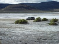
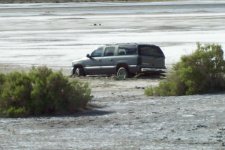
BTW: That Chevy Suburban stuck out on the mudflats of Fernley Sink has been there since early in January - about 50 yards out from the highway. Don't know what they were thinking!
 

Attachments

  • 33301-stuck suv.jpg
    33301-stuck suv.jpg
    137.3 KB · Views: 432
  • 33302-been there since early January.jpg
    33302-been there since early January.jpg
    124.3 KB · Views: 447
  • 33303-to Nezelda.jpg
    33303-to Nezelda.jpg
    112.4 KB · Views: 438
  • 33304.jpg
    33304.jpg
    137.5 KB · Views: 429
  • 33305-cabin.jpg
    33305-cabin.jpg
    135.6 KB · Views: 434
  • 33306-ready for anything.jpg
    33306-ready for anything.jpg
    134 KB · Views: 433
  • 33307-rock study.jpg
    33307-rock study.jpg
    136.7 KB · Views: 432
  • 33308.jpg
    33308.jpg
    138.6 KB · Views: 435
a fw more from trek 333
 

Attachments

  • 33309-the view.jpg
    33309-the view.jpg
    136 KB · Views: 440
  • 33310.jpg
    33310.jpg
    135.9 KB · Views: 444
  • 33311.jpg
    33311.jpg
    141.7 KB · Views: 436
  • 33313-lets see where it goes.jpg
    33313-lets see where it goes.jpg
    138 KB · Views: 445
  • 33314.jpg
    33314.jpg
    138.3 KB · Views: 440
  • 33315.jpg
    33315.jpg
    141.6 KB · Views: 444
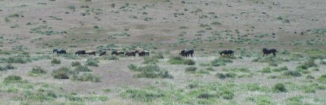
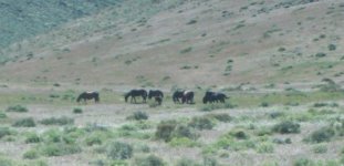
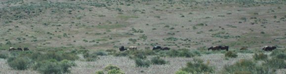
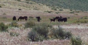
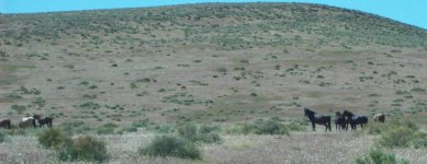
Out checking the wild horses between Fernley and Silver Springs yesterday. About thirty or so in this group - Very healthy looking - lots of forage.
 

Attachments

  • hs01.jpg
    hs01.jpg
    112.8 KB · Views: 435
  • hs02.jpg
    hs02.jpg
    60.2 KB · Views: 419
  • hs03.jpg
    hs03.jpg
    145.9 KB · Views: 426
  • hs04.jpg
    hs04.jpg
    124.1 KB · Views: 417
  • hs05.jpg
    hs05.jpg
    74.2 KB · Views: 423
  • hs06.jpg
    hs06.jpg
    147.4 KB · Views: 431
Trek 334 - San Emideo

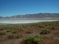
4 May 2017 - Spent the day running north between the west shore of dry Lake Winnemucca and the est slope of the Lake Range. That's the mountain range between Pyramid lake and Winnemucca Lake.

At the north end of the lake climbed over a pass west to the San Emideo Desert. Contains a couple ranches, American Geothermal, and some old copper mines.

Exited the San Emideo near Empire and then returned along Winnemucca back to Fernley. About 140 miles total.
 

Attachments

  • 33402-Winn Lk.jpg
    33402-Winn Lk.jpg
    138.3 KB · Views: 391
  • 33404-Tufa.jpg
    33404-Tufa.jpg
    137.1 KB · Views: 396
  • 33405-A bit of water.jpg
    33405-A bit of water.jpg
    136.1 KB · Views: 397
  • 33406.jpg
    33406.jpg
    138.8 KB · Views: 392
  • 33408.jpg
    33408.jpg
    71.8 KB · Views: 394
  • 33411-Lake range.jpg
    33411-Lake range.jpg
    87.7 KB · Views: 400
  • 33412-San Emideo Valley.jpg
    33412-San Emideo Valley.jpg
    137.5 KB · Views: 395
  • 33413-descending pass.jpg
    33413-descending pass.jpg
    138 KB · Views: 396
a fe more trek 334

- - - -
 

Attachments

  • 33414-Copper Mines.jpg
    33414-Copper Mines.jpg
    127.8 KB · Views: 391
  • 33415.jpg
    33415.jpg
    137.6 KB · Views: 401
  • 33416-Tufa.jpg
    33416-Tufa.jpg
    139.1 KB · Views: 396
  • 33417.jpg
    33417.jpg
    142.6 KB · Views: 401
  • 33418.jpg
    33418.jpg
    140.5 KB · Views: 394
  • 33419.jpg
    33419.jpg
    139.4 KB · Views: 390
A bit of maintenance

Went down to the self-service car wash this am.

First wash since January 1st! Man did it need it! 11 off-road treks since the first of the year; 125 year record rain and snow for the year - and just four months. Lots of bugs plastering everything facing forward. Checked tires and sprayed inside of wheels and undercarriage - That's about all it needed.

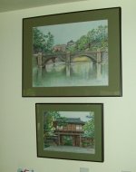
This weeks painting (bottom) A Japanese temple. I did the Imperial Palace grounds about three years ago.

I took about 300 photos in Japan in 2000 while I was there for a couple of months reverse engineering a cryo-compressor. Fabulous country.
 

Attachments

  • Kubota100.jpg
    Kubota100.jpg
    128.4 KB · Views: 368
a slight bit off my own topic

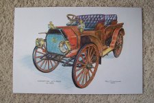
There was a time when approach and departure angles were standard at 90 degrees. Also high clearance.
 

Attachments

  • IH-Auto-Wagon-75.jpg
    IH-Auto-Wagon-75.jpg
    138.6 KB · Views: 347
  • 00000016A-1.jpg
    00000016A-1.jpg
    138.5 KB · Views: 344
  • 00000015A-1.jpg
    00000015A-1.jpg
    136.6 KB · Views: 347

Members online

Forum statistics

Threads
278,310
Messages
3,554,079
Members
248,016
Latest member
Advally Service

Trending content

Back
Top