JohnTheLuck
Member
Day 7:
Start point: Las Cruces NM
End point: Las Cruces NM
Distance driven: 115 km
Distance hiked: 1.8 km
Today we went to the Prehistoric Trackways National Monument preserving an area where several traces of animals dating from around 280 million years are saved in the rock. As it is a new monument designated in 2009, there are still few indications where to find these tracks. Even the hiking trails are not very well documented.
We drove two off-road trails of intermediate difficulty. the Skyline and Apache Dam Roads described in JeepTheUSA.com. These were quite rocky and we were progressing quite slowly. At the beginning, we circulated near a wash having dug the very colored rock. The place was quite pretty and we stopped. We found shell fossils there.


Continuing toward Skyline Road, we encountered some fun obstacles, this one requiring the rear locker to get through.

The Skyline Road was supposed to lead to Robledo Mountains on the top of a ridge. We had to turn back because the place is now closed to vehicles.
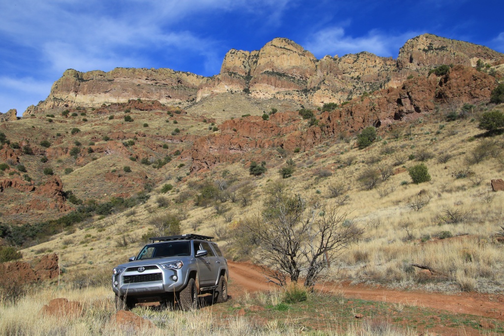
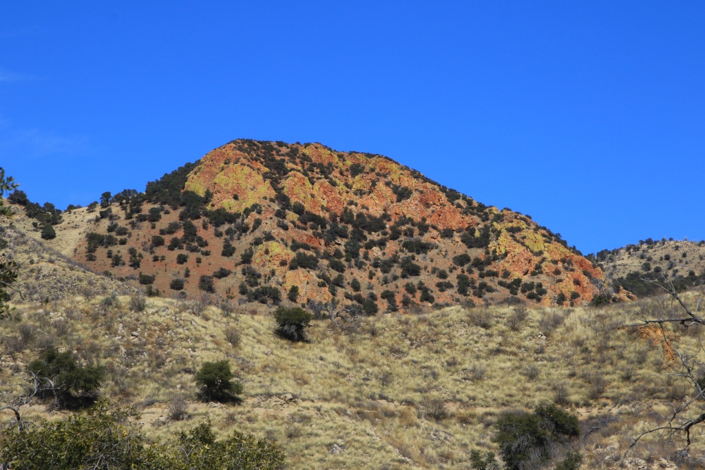
Continuing south onto Apache Dam Road, we finally had some period of sunshine, revealing the great colors of the rocks around us.
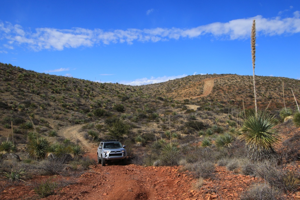

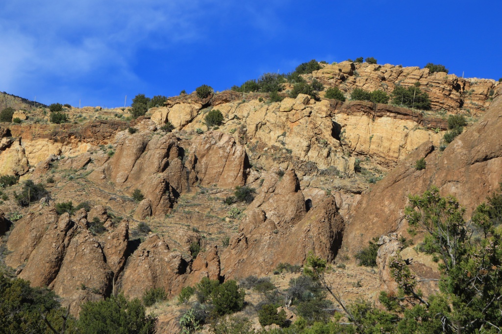
We began a long descent toward Apache Wash, very rocky and relatively wooded. Although I tried to avoid the branches often very close to the trail, the 4Runner has a few more decorations on its paint. Pretty eroded formations decorated the sides of the cliffs here and there.
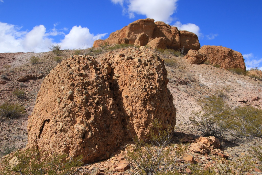
Arrived in Apache Wash, we explored some places that we had identified with Google Map during our trip preparation. One of these places was a very sculpted secondary wash providing access to a promontory above Apache Wash.


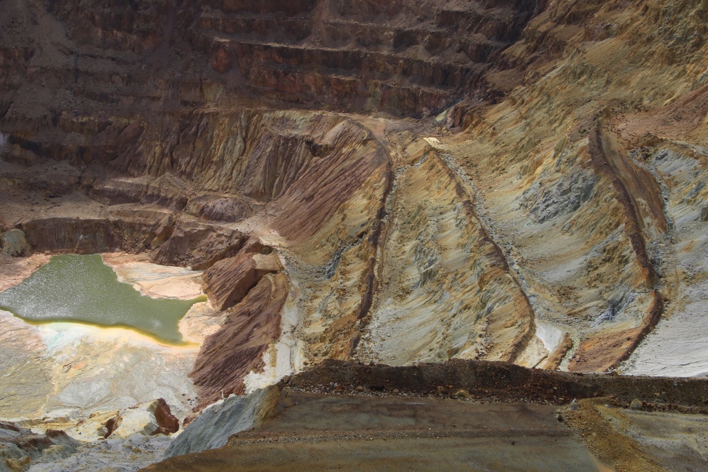
Continuing along Apache Wash, we crossed very colorful areas with beautiful patterns.


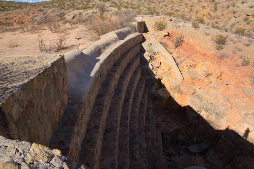
We then joined a series of old constructions in the wash probably used to create reservoirs to capture water during precipitation. I am guessing the last is called Apache Dam.

We were not sure if we could leave the monument from the south. To our great satisfaction, after driving on a more recent dike we reached a barrier fortunately not locked. Otherwise, we would have had to return by the same path and pass through some rather delicate places, without counting the many more scratches on the vehicle.
After a stop at a restaurant, we went to Soledad Canyon in Organ Mountains-Desert Peaks NM to watch the sunset over the mountains. While we waited, we saw a horde of deer heading towards the mountains.

The setting sun tinted the mountains with an orange color, contrasting with the dark clouds in the distance.


Tomorrow we will leave Las Cruces NM to finally reach our main destination of our trip, Arizona. We will travel to Tucson to begin.
.
Start point: Las Cruces NM
End point: Las Cruces NM
Distance driven: 115 km
Distance hiked: 1.8 km
Today we went to the Prehistoric Trackways National Monument preserving an area where several traces of animals dating from around 280 million years are saved in the rock. As it is a new monument designated in 2009, there are still few indications where to find these tracks. Even the hiking trails are not very well documented.
We drove two off-road trails of intermediate difficulty. the Skyline and Apache Dam Roads described in JeepTheUSA.com. These were quite rocky and we were progressing quite slowly. At the beginning, we circulated near a wash having dug the very colored rock. The place was quite pretty and we stopped. We found shell fossils there.
Continuing toward Skyline Road, we encountered some fun obstacles, this one requiring the rear locker to get through.
The Skyline Road was supposed to lead to Robledo Mountains on the top of a ridge. We had to turn back because the place is now closed to vehicles.
Continuing south onto Apache Dam Road, we finally had some period of sunshine, revealing the great colors of the rocks around us.
We began a long descent toward Apache Wash, very rocky and relatively wooded. Although I tried to avoid the branches often very close to the trail, the 4Runner has a few more decorations on its paint. Pretty eroded formations decorated the sides of the cliffs here and there.
Arrived in Apache Wash, we explored some places that we had identified with Google Map during our trip preparation. One of these places was a very sculpted secondary wash providing access to a promontory above Apache Wash.
Continuing along Apache Wash, we crossed very colorful areas with beautiful patterns.
We then joined a series of old constructions in the wash probably used to create reservoirs to capture water during precipitation. I am guessing the last is called Apache Dam.
We were not sure if we could leave the monument from the south. To our great satisfaction, after driving on a more recent dike we reached a barrier fortunately not locked. Otherwise, we would have had to return by the same path and pass through some rather delicate places, without counting the many more scratches on the vehicle.
After a stop at a restaurant, we went to Soledad Canyon in Organ Mountains-Desert Peaks NM to watch the sunset over the mountains. While we waited, we saw a horde of deer heading towards the mountains.
The setting sun tinted the mountains with an orange color, contrasting with the dark clouds in the distance.
Tomorrow we will leave Las Cruces NM to finally reach our main destination of our trip, Arizona. We will travel to Tucson to begin.
.