Day 29:
Start point: Mesa AZ
End point: Mesa AZ
Distance driven: 180 km
Distance hiked: 0.6 km
...and yes, we went offroading! We spent the whole day driving off-road trails near Florence AZ. We had a great day, but it ends with a little bitter taste.
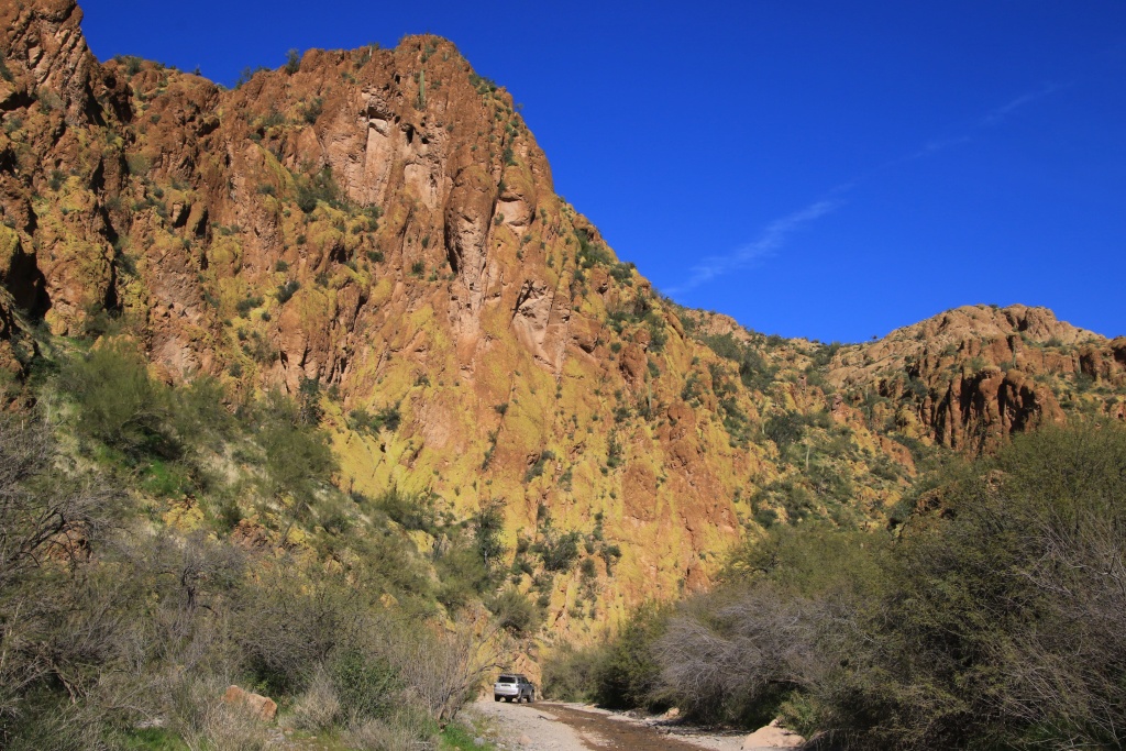
After reaching Florence, we drove the Price Road gravel road to join Box Canyon Road, the main destination of the day, which appeared in the distance like a small crack in the mountains.
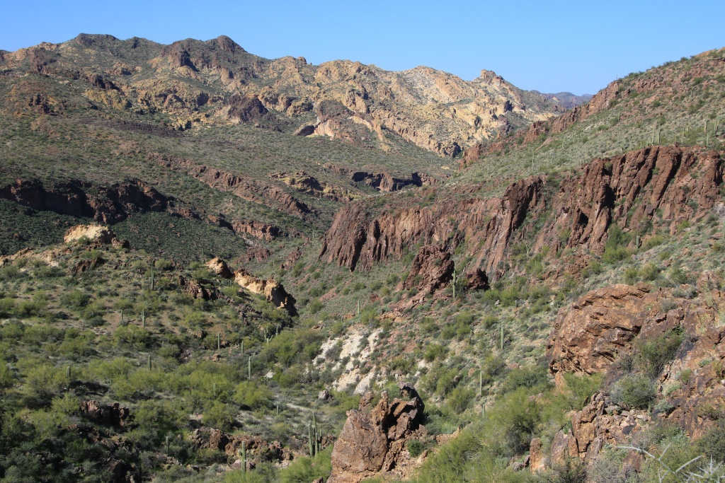
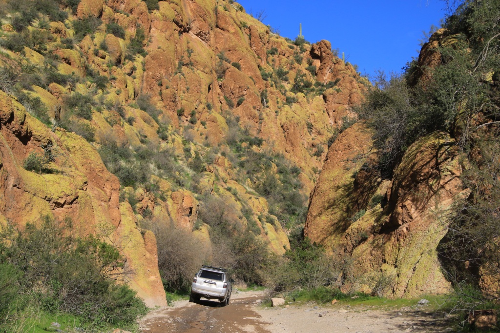
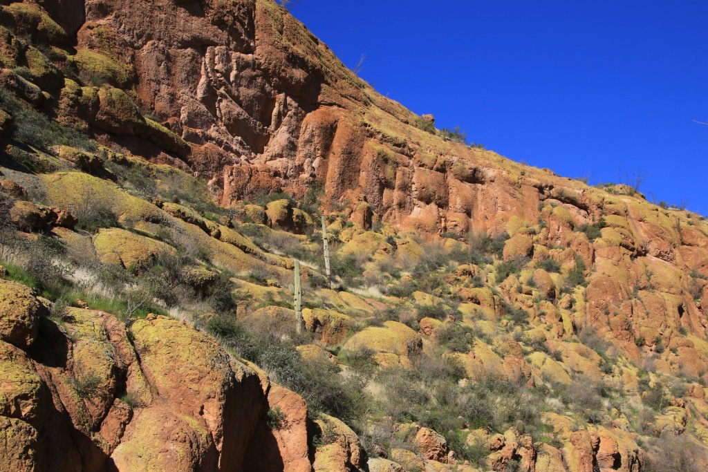
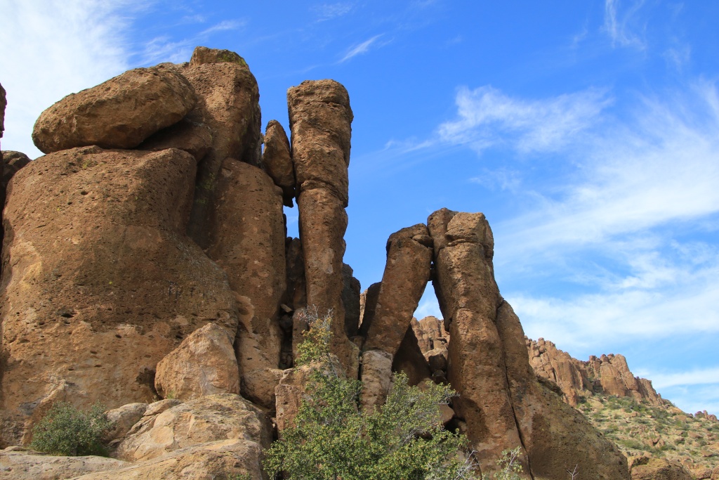
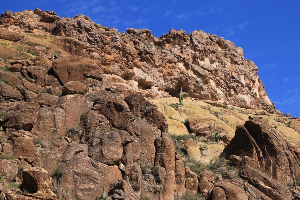
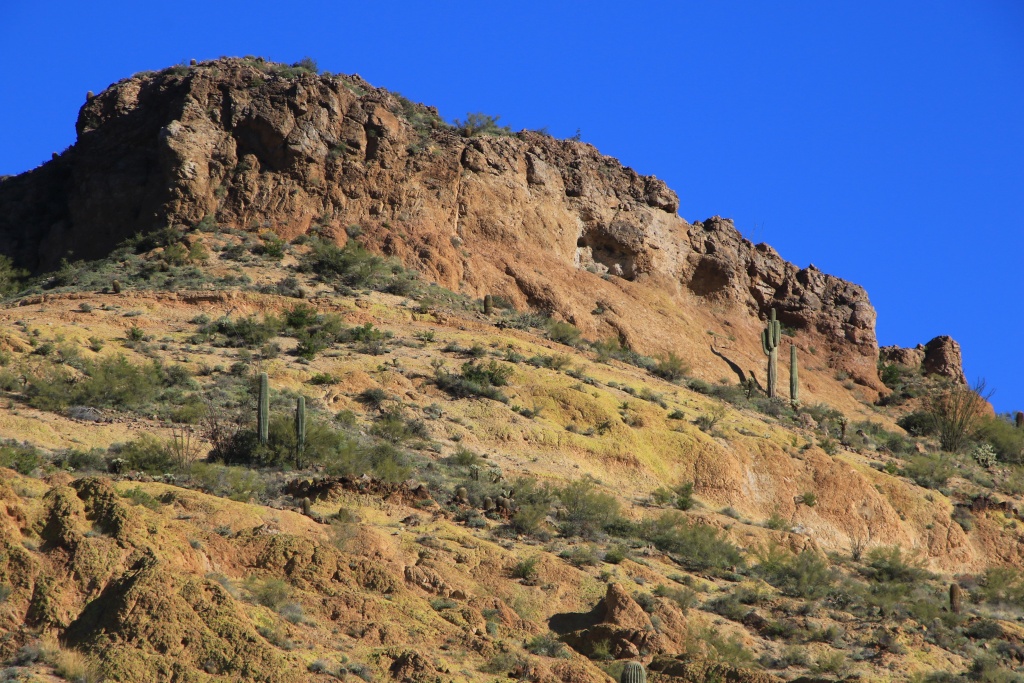
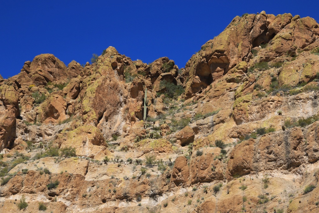
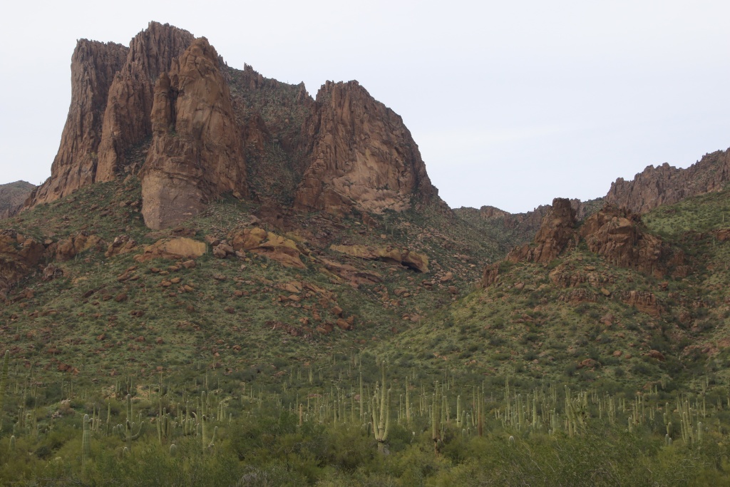
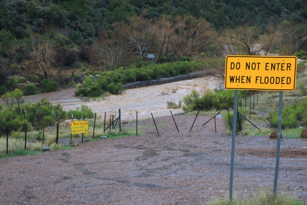
Box Canyon is a very spectacular narrow canyon hollowed out by a stream flowing in mountains made up of fairly colorful volcanic rocks. The stream was barely flowing today and greatly helped to limit the dust.
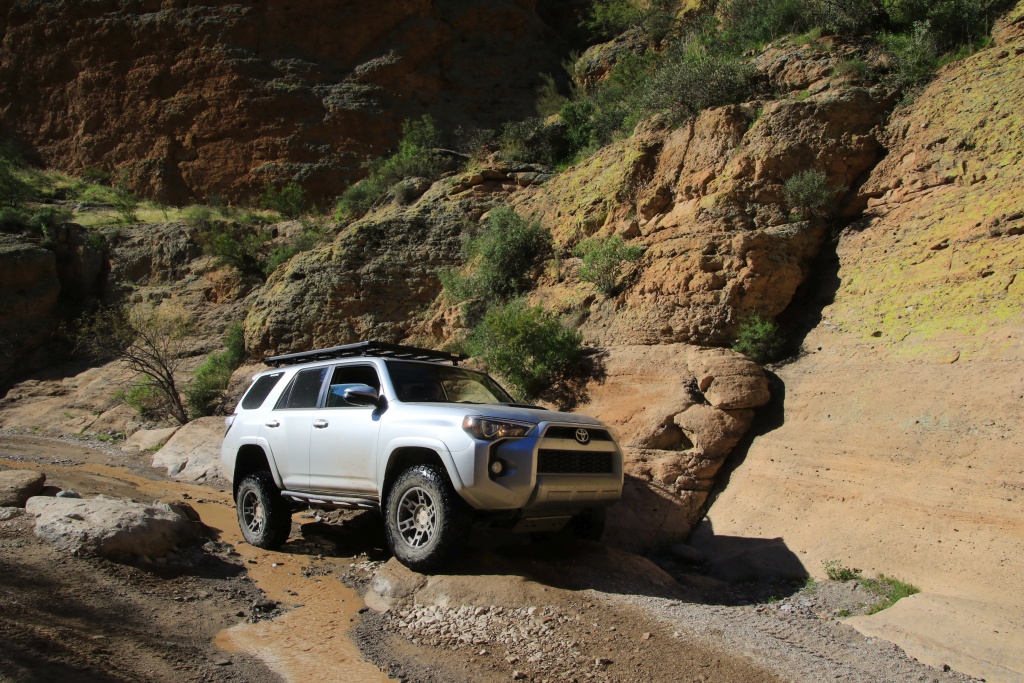
Generally, Box Canyon consists of an easy gravel road carried by the stream but some obstacles require a little more attention. However, all of them still offer an easy line to overcome them.
Further, we reached the Mineral Mountain Road continuing north. This road has a big obstacle called Waterfall. Having watched videos on YouTube before the trip, we had already decided not to try to cross it. The following photo was taken while I was halfway up.
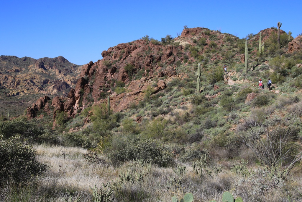
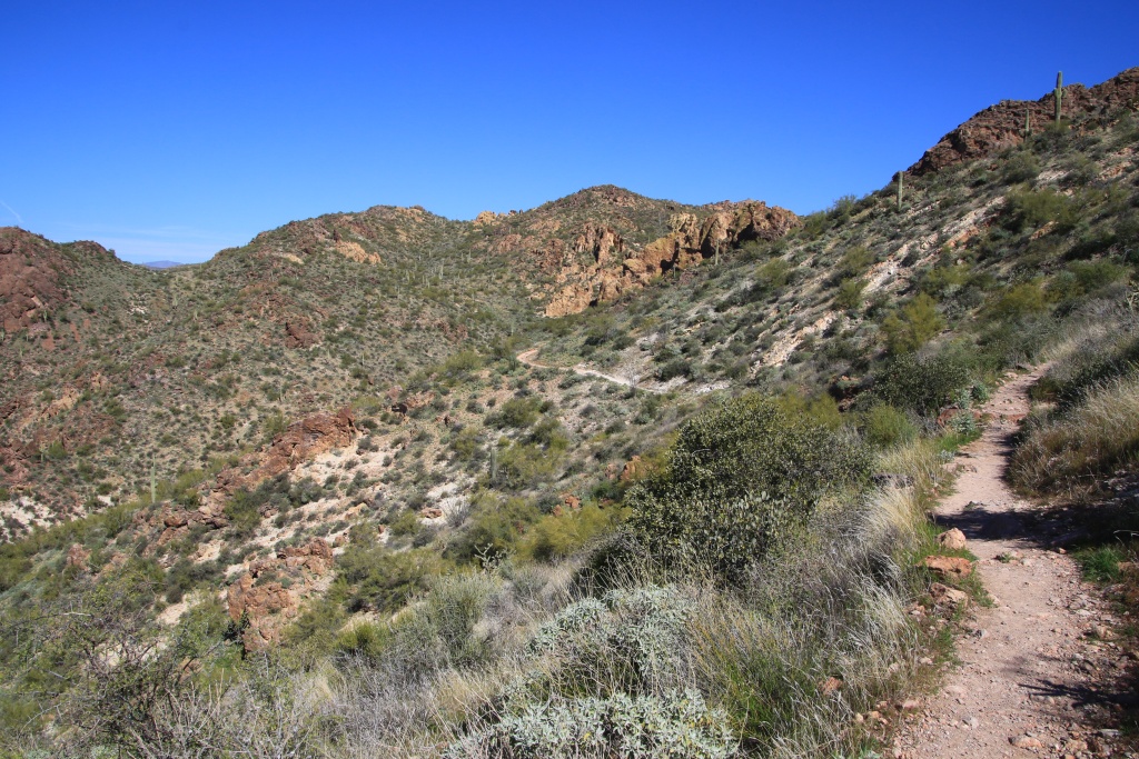
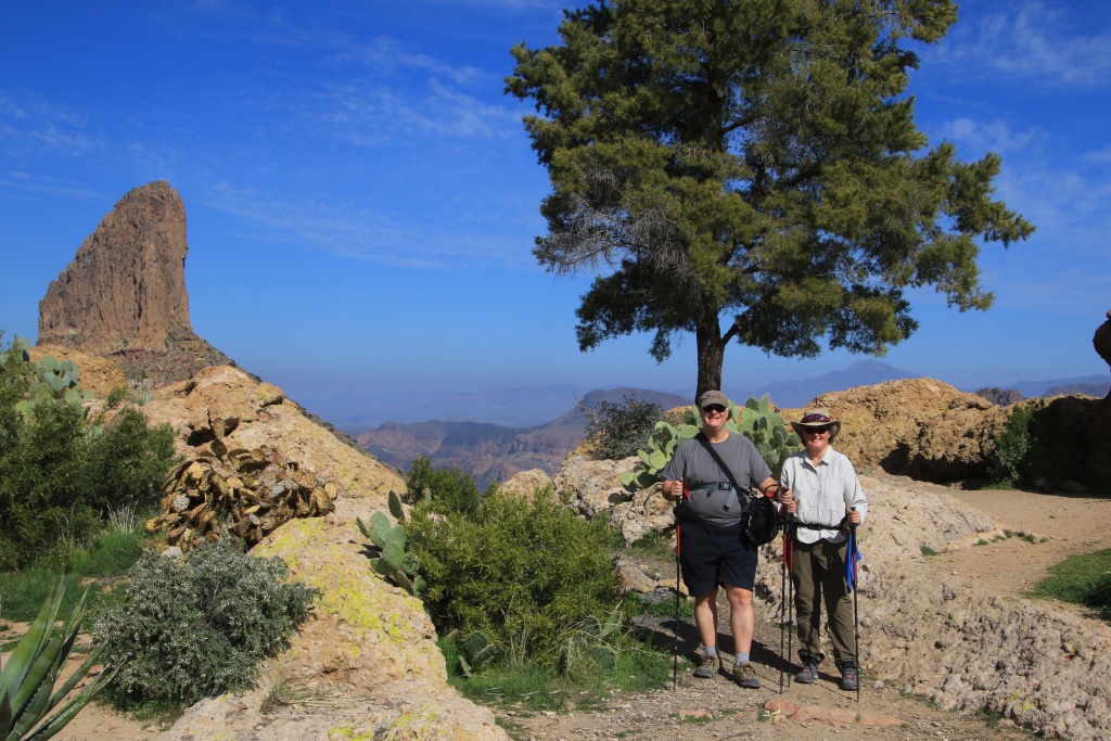
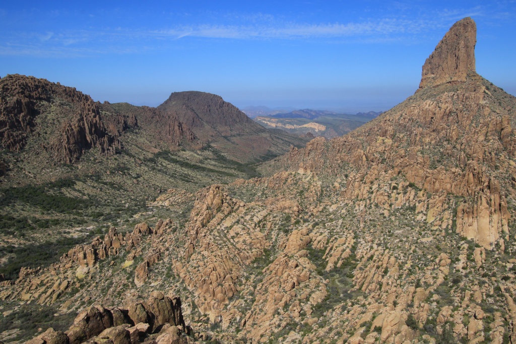
The Wells book indicated a bypass for the Waterfall. Now the bitter taste comes from the significant damage that side-by-side vehicles generate on these roads. The detour suggested by the book (by the east) presented a steep slope made completely unusable for vehicles other than these side-by-side. We had identified another detour (by the west) but after climbing some steep sections, the last one was also so damaged that it too was then impassable. The view was still magnificent.
And to conclude, at the turn of a fairly pronounced curve, while we were looking for another passage to the north, we met an idiot driving a side-by-side at an irresponsible speed. We just had time to brake to avoid it. If my speed had been similar to his, we would have certainly had a collision, and my 4Runner being much heavier than his vehicle, I know who would have had more damage. You moron ... I hate these side-by-side.
As we only encountered another vehicle which was not a side-by-side, we believe that all the tracks in the region suffered the same damage. This makes us rather hesitant to go through others. Sadly.
After multiple unsuccessful attempts, we finally managed to find an exit and return to the main road north of Waterfall. The place is a maze of intersecting roads. A chance that we are preparing very well for this kind of trip. We had topographic maps, a satellite view, and our exact position thanks to our tablet and the GPS receiver.
Continuing on Mineral Mountain Road, we reached the Granny's Pass where several memorials have been erected in memory of loved ones who have disappeared. The majority of these were dedicated to off-road enthusiasts.
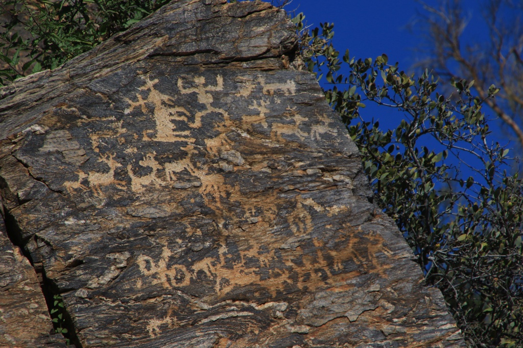
Further on, we made a short detour to see the petroglyphs in Cottonwood Canyon.
Finally, we hiked another short adjacent trail, that of Reymert Mine Road. The mine was closed in 1950, fairly recently compared to others we have visited in the area.
Tomorrow we will definitely be dedicated to hiking a trail, wifey said!
.