JohnTheLuck's Adventures Thread

Day 41:

Starting point: Page AZ
Ending point: Page AZ

Distance driven: 124 km
Distance hiked: 15.2 km

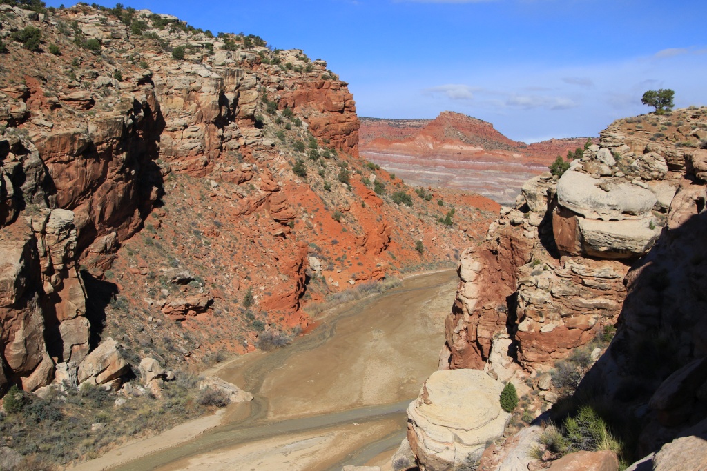
Flouch, flouch, flouch, twelve times rather than one! Our only activity for the day was a long hike in Paria-Hackberry Wilderness. The hike begins on Cottonwood Canyon Road and quickly reaches Paria Box, a narrow canyon running through The Cockscomb and carved by the Paria River. The river flowed at a certain rate and the water level approached 25 centimeters in places. A bit disappointing because we had to cross it six times because it runs along the cliff in several places.

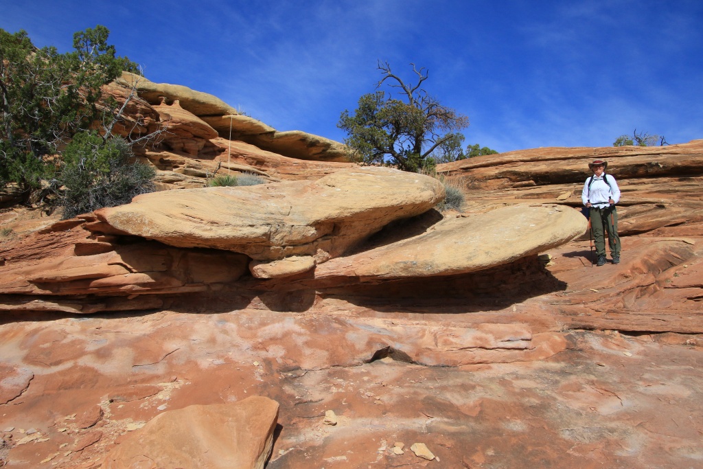
The geological layers of The Cockscomb have formed an inclined plane which can be climbed quite easily.
53626854294_ab39892b9b_o.jpg


Arriving at the summit, we took a short break to dry ours socks and boots, under the morning sun. Next, we hoped to reach a ridge overlooking Paria River Valley, but the terrain seemed much rougher than expected. We continued on a track towards the northeast and reached a promontory after a few kilometers. From this point, Yellow Rock was visible, and also Cottonwood Hoodoos. Unfortunately, the clouds had also appeared.

53627240144_d6c41b8898_o.jpg


53626964820_7f46a7b147_o.jpg


53627354965_dbb58fcd28_o.jpg


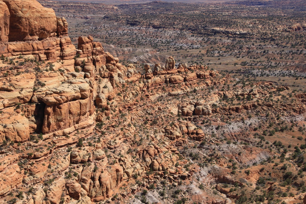
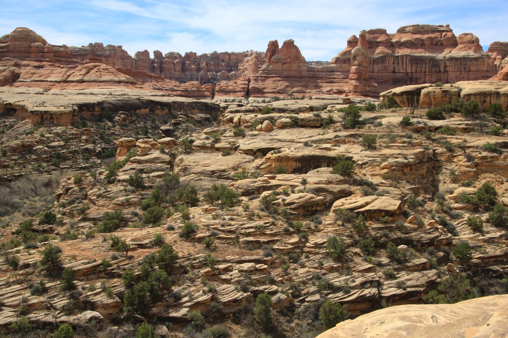
Retracing our steps, we headed to a place called Red Point. We had some difficulty finding a passage but we finally succeeded, and our efforts were greatly rewarded by the grandiose spectacle stretching out before us.

53627109253_bb9a2d5f68_o.jpg


53626914426_3263835109_o.jpg


53627354140_1888ab1706_o.jpg


53626913406_1bbe27436d_o.jpg


53627108418_00e83a29e4_o.jpg


53626913411_c7455aa39a_o.jpg


53627108423_5443383558_o.jpg


53627108398_4430c97d43_o.jpg


53627354110_07bea97146_o.jpg


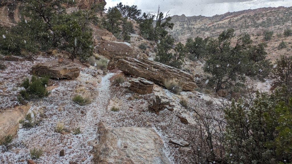
After some time, we began our return, this time using another path that we had spotted on the top of the yellow rocks and proved to be a lot easier. At this moment, a huge, very dark cloud was approaching. We even heard two claps of thunder, reverberating off the surrounding hills. A few minutes later, small hailstones began to fall, once again.
53627354970_6caf89ec94_o.jpg


This only lasted as long as the cloud passed, without much consequence for hikers because the ground was mainly composed of rock, pebbles and sand. We then reached the top of the slope.

53627108403_4481c55fd7_o.jpg


Then a long clearing came, warming us up a little and drying our clothes and the ground, until the fateful moment when we had to cross the river again six times, again... Flouch, flouch, flouch was the sound of my boots filled with water!

53626014952_643a96db71_o.jpg


53626913356_e3f2e7d3b1_o.jpg


53626014942_6b3b880d10_o.jpg


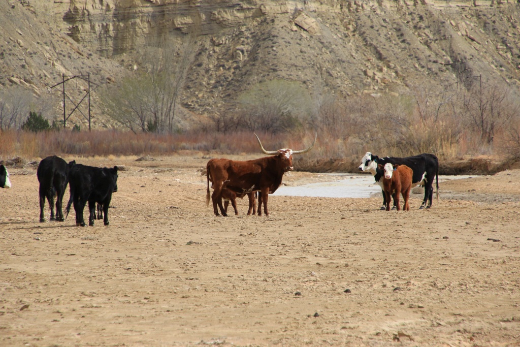
Very close to the starting point of the hike, a welcoming committee seemed to want to hold us back a little. The presence of several small calves probably made the mothers a little worried, but it was the one with its long horns that intimidated us a lot more. We walked around them under their watchful gaze, until we were a good distance away and they ignored us.
53627354095_bbfdd12094_o.jpg


Arriving at the 4Runner, another big cloud was approaching and we didn't stay there. We picked up Cottonwood Canyon Road again, riding long stretches over bentonite clay. The cliffs along the road had concentrated the hailstones and as they melted they had made the clay very slippery in places. We skidded slightly a few times but fortunately, without consequence. Then we noticed with joy that the cloud had not passed the worst place on the road, where it winds between clay hills. We reached the safety of paved US 89 and returned to Page for our last night.

Tomorrow we hit the road again towards Blanding, Utah, with a few small visits along the way.
 
Day 42:

Starting point: Page AZ
Ending point: Blanding UT

Distance by vehicle: 396 km
Hiking distance: 1.6 km

This morning, we left Page under a cloudless sky, after a very nice stay during which we were able to do many activities that we had dreamed of for some time. Since there aren't many options in terms of roads, we traveled the UT 98, then the US 160.

Our first stop of the day was the Navajo National Monument protecting some Ancestral Puebloan village sites. For reasons related to COVID, access to sites located in the canyon is still prohibited. So we hiked the short Sandal Trail to Betatakin Overlook, overlooking the village of the same name.

53627490772_03096d2bb2_o.jpg


53628713929_7440419efe_o.jpg


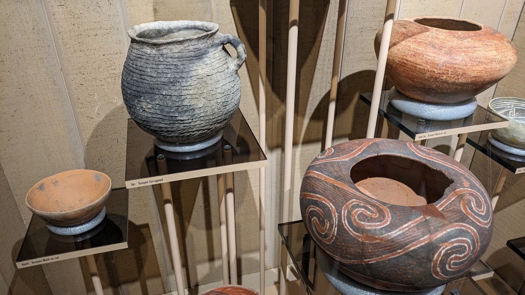
The visitor center has a small museum displaying artefacts discovered during archaeological digs, including magnificent pottery.

53628827070_edabb5da65_o.jpg


Continuing our route, we made a short stop at the foot of Skeleton Mesa, part of the immense plateau of which Comb Ridge consists of the eastern end.

53628583763_4083dfd094_o.jpg


53627490752_c4db21caf6_o.jpg


As we have often traveled US 160 and US 163 (through Monument Valley), we opted instead to travel two maintained dirt roads located in Navajo Reservation. The condition of these was exemplary.

So we left US 160 and took Navajo Route 6440, named Cane Valley Wash Road. This crosses rocky areas of ancient petrified dunes, as well as fields of peach-colored sand dunes.

53628583728_9c015902fc_o.jpg


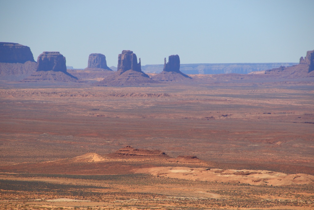
What was our surprise, as we arrived at the summit of Comb Ridge, to see Monument Valley nearby, with Navajo Mountain in the background.

53628382371_df03b861f7_o.jpg


53628826995_dcf6d56175_o.jpg


Then, we began our descent from Comb Ridge among several very photogenic rocks.

53628827000_7f975b6862_o.jpg


53628713824_3dd7a7afdd_o.jpg


53628713784_8768fb5bf1_o.jpg


Further on, we took a short diversion onto Poncho House Road along Comb Ridge.

53628713759_0149a5b01f_o.jpg


After returning to Cane Valley Wash Road, we headed onto Gypsum Creek Road. This crosses Gypsum Creek in a place where water seems to be generally present given the vegetation. However, a strong smell of sulfur emanated from it, somewhat breaking the charm of the place.

53628826945_61ee99479c_o.jpg


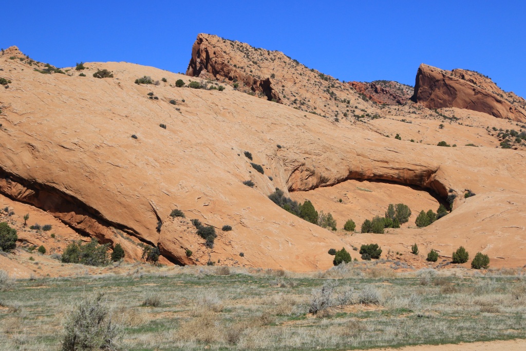
Continuing on Gypsum Creek Road, we finally crossed the last buttes related to Comb Ridge, at least for this moment. At the top of the mound, we saw a small natural arch.

53628826935_015153b7bb_o.jpg


Next, the road travels through a large plain cracked by deep dry washes. For movie buffs reading this post, the sheep farmer's farm from the movie "A Million Ways to Die in the West" is certainly located in this valley. In the distance, the two hillocks forming Bears Ears rose. We will see them again during our stay around Blanding.

53628826940_df634d933e_o.jpg


The forecast for the Blanding area is for a lot of sunshine for the next few days. We will determine probably tomorrow what we will do.
 
Day 43:

Starting point: Blanding UT
Ending point: Blanding UT

Distance driven: 158 km
Distance hiked: 6.4 km

We had another superb sunny day and a very summery temperature of 22C. We took the opportunity to explore several places in Bears Ears National Monument.

Our first destination was Posey's Trail Road running on a ridge overlooking Upper Comb Wash. I had visited this site alone during our winter 2023 trip, while Nancy was sick in bed.

53630767929_36335c674f_o.jpg


53630429071_9e513efec4_o.jpg


At the end of the road, at Posey's Trail Overlook, UT 95 crosses Comb Ridge and passes directly at the bottom of the bluff before climbing back toward Cedar Mesa.

53630767924_2619e0a2dd_o.jpg


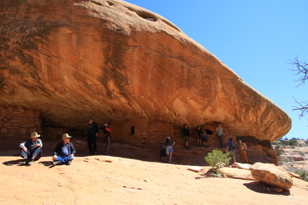
Then we retraced our steps and reached the Mule Canyon area to hike to the famous House on Fire, an Ancestral Puebloan site whose alcove appears to become ablaze when indirect lighting conditions are right.

53630637513_4a1b8a7625_o.jpg


53629539477_a6b3069834_o.jpg


When we arrived at House on Fire, there were about fifteen people waiting for the right conditions, as if all of a sudden the ruins were going to suddenly change color. Over a period of about twenty minutes, no one was taking photos except me. Then, around noon, the site became much more congested. There is no magic hour, like a whale jumping out of the water. What gives this striking effect is mainly the contrast between light sandstone strata and more orange ones.

53630767879_978a3ba0a4_o.jpg


A little disconcerted by the crowd, we went back to the trailhead, choosing not to continue further into the canyon towards the other sites.

Back at the 4Runner, we continued on the same road towards Arch Canyon Overlook. The road then climbs Cedar Mesa, offering some views of the surrounding area. Otherwise, the view is obstructed by the cedar forest but the sandy road is very easy.

53630767789_62031f641b_o.jpg


We eventually reached Arch Canyon Overlook, offering a great view of Arch Canyon. During our winter 2023 trip, we were forced to turn around while trying to reach a point below for a hike in the canyon.

53629539462_bc003af109_o.jpg


53629539422_381eba06ef_o.jpg


53630637433_fdaa6b2b34_o.jpg


We walked along the cliff to the northwest to try to see one of the arches in the canyon. We think we saw Cathedral Arch.

53629539417_5597d04b07_o.jpg


53630875230_cbc60c253c_o.jpg


Back on UT 95, since we still had about two hours left, we decided to improvise by going to explore the Cedar Mesa area of Bears Ears NM a little. It is located on a plateau and contains countless sites built by the Ancestral Puebloans. We randomly chose to go to nearby Baulie Mesa. A very well-maintained dirt road leads to three viewpoints. The first one we visited had a truly extraordinary view of Comb Ridge in the distance.

53630428846_0a2cb4f248_o.jpg


53630875185_465938323a_o.jpg


53630875195_5d9cf2c6d7_o.jpg


When we arrived at this site, a group of three campers from Colorado were already there setting up for the night. They kindly pointed out to us the presence of numerous ruins around us, including one immediately next to the viewpoint, with some buildings on the point and others a little below.

53630875175_4246ea40e2_o.jpg


53630637373_97b00bb78e_o.jpg


In the distance, along the cliff, other buildings were visible. This reminded us a little of our somewhat grueling hike to Moon House in winter 2023.

53630767729_b71cc04c5a_o.jpg


Then we joined a second point of view. However, the view from this one was a little less spectacular than the first.

53629539332_bf30772734_o.jpg


Tomorrow will be our last day in Utah, already... We are thinking of heading towards The Needles sector of Canyonlands National Park.
 
Day 44:

Starting point: Blanding UT
Ending point: Blanding UT

Distance driven: 232 km
Distance hiked: 13.2 km

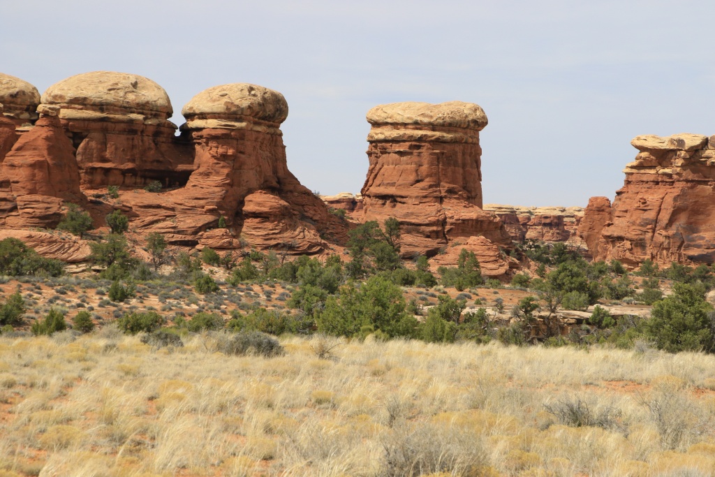
For this last day in Utah for this trip, we treated ourselves to a spectacular hike in The Needles sector of Canyonlands National Park. The relief of this sector, as its name indicates, is composed of a multitude of columnar formations, created by erosion while the column is protected by a layer of harder white rock, a concept similar to hoodoos.

The hike follows a long loop beginning in Woodenshoe Canyon (formerly known as Squaw Canyon) and continuing into Big Spring Canyon. It crosses a few passes between the canyons, offering splendid views. As the temperature at the start of the hike was already 17C, we were quite warm under the sun barely veiled by thin clouds. Luckily there was a bit of wind to cool us down a bit.

At the start of the hike, after a short segment in a plain, we reached the first passage of a ridge.

53632962180_aaf81ccd89_o.jpg


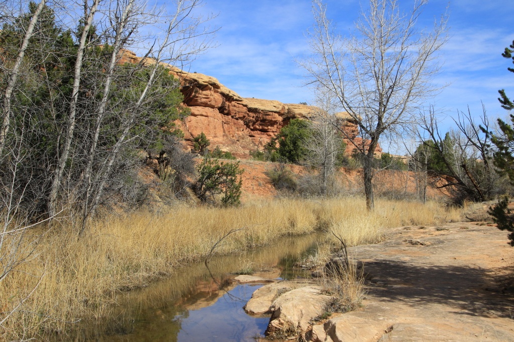
After descending down the other side of the ridge, we entered Woodenshoe Canyon. To our surprise, there were several water sources forming pools. Apart from a few insects, we didn't see any fish as these pools are probably dry during the summer. On the other hand, there was a lot of vegetation, a sign of the frequent downpours.

53632962185_3772a11505_o.jpg


53632962170_c35b797f73_o.jpg


After several kilometers, we began our climb toward the ridge separating Woodenshoe Canyon from Big Spring Canyon. As we gained altitude, the view became more and more grandiose, with the peak of one of the Six Shooters visible in the distance.

53632516701_469928073c_o.jpg


53631627352_d1053a798d_o.jpg


53632516671_3bc805aaca_o.jpg


Continuing our ascent towards the ridge, the route runs along shelves on the white rock layer. In several places, we could see the action of erosion attacking layers other than that of the white rock.

53632516636_a82f18b442_o.jpg


53632727738_3dd6df98cc_o.jpg


As we approached the final climb to the ridge, visible on the far right in the next photo, a group of hikers were just coming down from it.

53632857434_2fb3185b7d_o.jpg


One last look back at Woodenshoe Canyon with the hiking group walking along the white rock ledge we had just hiked through.

53632857429_709afd926f_o.jpg


The passage of the crest requires some attention because we were walking on an inclined surface. On the other hand, the sandstone offers very good grip and at no time did we felt uncomfortable.

53632516591_bf86272287_o.jpg


On the other side of the ridge, Big Spring Canyon revealed itself to us. Without too much surprise, the landscape is similar to that of Woodenshoe Canyon because it is composed of the same geological layers.

53632727718_eb18d10577_o.jpg


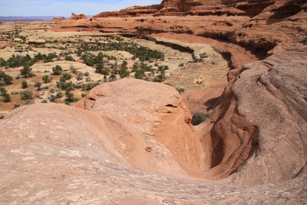
Although the descent to the bottom of Big Spring Canyon is less significant, it is done more quickly and includes some small challenges such as this descent into a fairly steep channel.

53632516571_a87400bb25_o.jpg


Just below, the presence of water seeping from between the rock layers allowed plants to grow in a hanging garden, under a small ledge facing north. Oddly enough, some plants had their roots hooked under the ledge and seemed to be growing downwards.

53632857394_85df7ff7b3_o.jpg


53632857384_112c58b9bf_o.jpg


We continued our slow descent of the canyon along a dry wash, with other beautiful landscapes. At this time, the heat of the afternoon was well felt but the numerous shrubs offered us shade for our numerous breaks.

53632516546_5deeb5ec20_o.jpg


53632962005_2fb2bf7bca_o.jpg


53632727668_33468f9dc2_o.jpg


As we neared the end of the loop, we crossed another ridge to leave Big Spring Canyon. We then circulated between two needles forming a sort of tunnel. Shortly after, we returned to our vehicle.

53632857304_08f7b562d4_o.jpg


Getting back on the road, we stopped at a viewpoint on Woodenshoe Arch, having inspired the canyon's new name.

53632516521_7a1793d7d3_o.jpg


Tomorrow we will leave Utah to reach New Mexico. Although the weather forecast doesn't look really good for seeing Monday's eclipse on April 8 in northern Texas, we (actually Nancy...) decided not to change our itinerary. Hopefully the forecast improves over the next four days.
 
Day 45:

Starting point: Blanding UT
Ending point: Roswell NM
States traveled: Utah, Colorado, New Mexico

Distance driven: 860 km

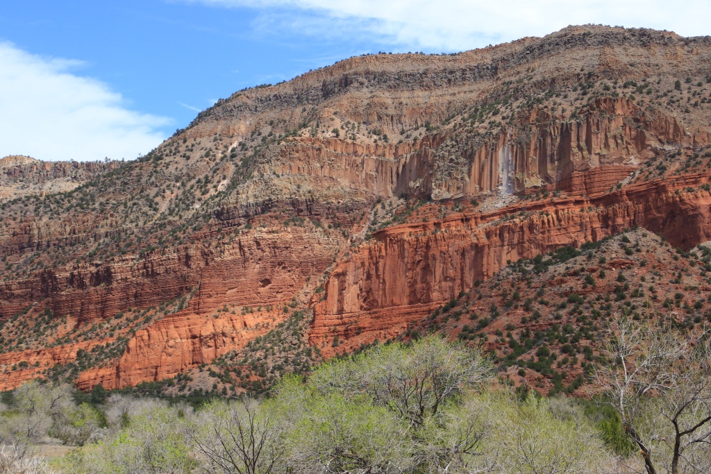
We sadly left Utah this morning, with great memories and some photos (!!!...). We headed toward Farmington NM, then took US 550 southeast. Along the way, we took a short detour to see the Gilman Tunnels in Santa Fe National Forest. The road leading to these tunnels winds through a beautiful canyon with reddish walls.

53634915140_27bda7f777_o.jpg


The further we went, the narrower the road became. What we didn't know is that the road is now closed to all motorized traffic. Although we could have reached the tunnels by a short walk of just under a kilometer, we did not have enough time planned and we would have arrived at our hotel a little too late that evening. So we put that off for another trip.

53634681708_031fa60a01_o.jpg


So we continued towards Albuquerque NM, then took the I-40 Interstate. After leaving the immediate area of the city, we hit a huge traffic jam, probably due to roadworks. Luckily, we were able to quickly reach an exit, and headed onto country roads south of I-40.

The lack of relief and vegetation did not succeed in cutting off the strong winds coming from the south. These were very lightly traveled roads, and overall pleasant to drive, passing a few tiny villages but above all immense expanses of desert practically uninhabited apart from a few ranches. The cholla cactus were beginning to bloom.

53634681703_14da4cb3e3_o.jpg


53634915125_cf83aeb549_o.jpg


When we say we're in the middle of nowhere, it must be similar to the places we've been.

53634467576_da720d713b_o.jpg


Tomorrow will be a very relaxed day. We had originally planned to leave Utah only tomorrow, but the very strong winds would have limited our activities too much and we preferred to explore the region in which we are and which we know very little about.
 
Last edited:
Day 46:

Starting point: Roswell NM
Ending point: Post TX
States traveled: New Mexico, Texas

Distance driven: 414 km
Distance hiked: 1.9 km

Since we only had a few hours of travel planned today, we visited a few sites near Roswell NM and Lubbock TX.

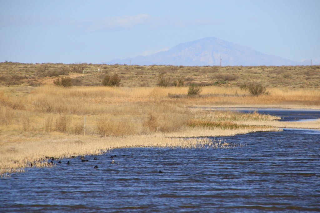
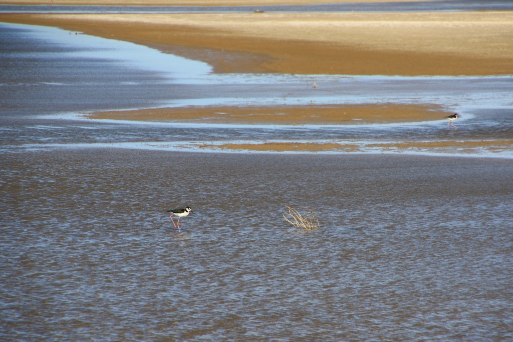
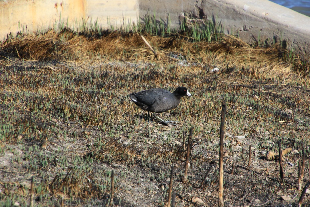
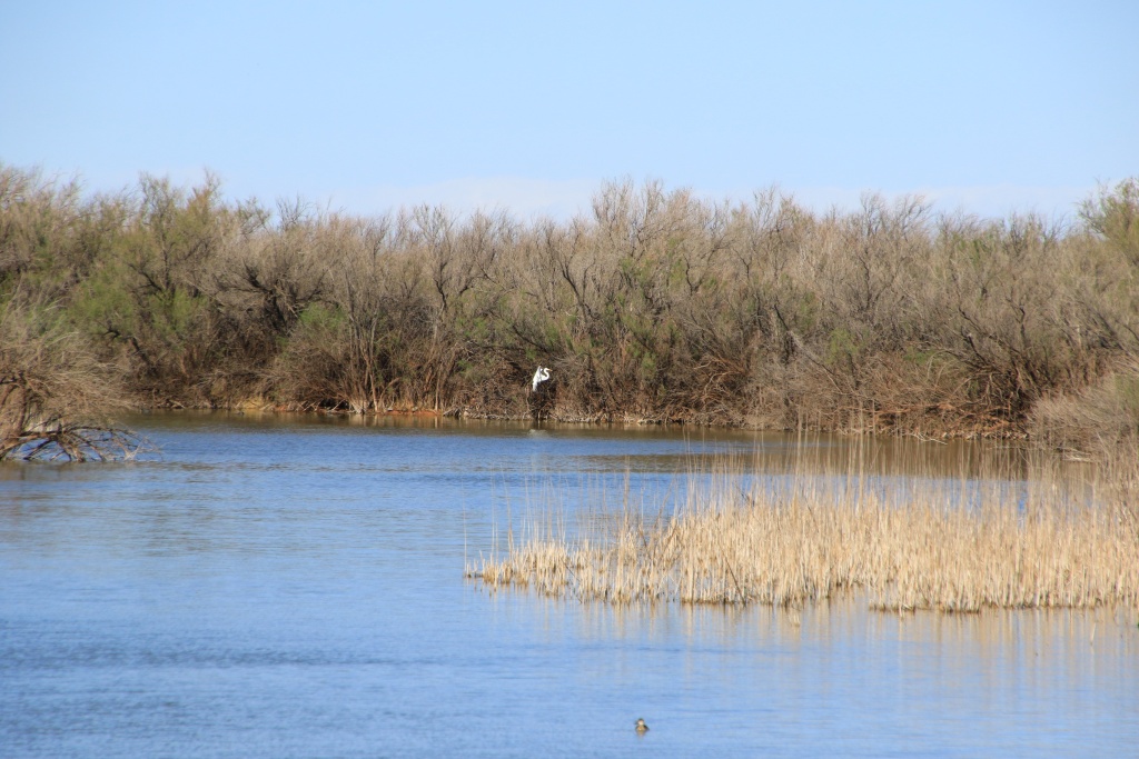
Our first visit was to Bitter Lake National Wildlife Refuge just outside of Roswell NM. Although we knew that the majority of migratory birds are present between October and February, we were still able to see several species.

53635360732_e0e483c24e_o.jpg


53636252661_6a326b510d_o.jpg


53636252656_d729869b61_o.jpg


53635360697_11c40e4830_o.jpg


53636586374_f62e221ef6_o.jpg


53636729145_41f5790933_o.jpg


53636252386_4b92611aa7_o.jpg


As we were moving toward our second destination of the day and driving along the Pecos River, we also saw a snowy egret, a very shy species.

53636703835_51f3e168b5_o.jpg


Our second point of interest was Bottomless Lakes State Park protecting sinkholes created by the dissolution of limestone in rock layers by water. We walked a short trail running near some of these sinkholes.

53636465488_966989a5c9_o.jpg


53636586164_0bf63e06e5_o.jpg


We had to be very careful because the action of the rain on the limestone rock made them very sharp, even dangerous in the event of a fall.

53636252306_4bef027785_o.jpg


We then hiked another trail on a raised boardwalk running between smaller sinkholes. On the other hand, the water level was very low and we saw very few interesting things. It's probably very different earlier in the year.

53635360567_cc68f479ce_o.jpg


Then, we entered Texas and went to the city of Lubbock to visit the American Windmill Museum, exhibiting a host of wind turbines, including several old ones. When we arrived, we were surprised by the crowd of vehicles present. The parking lot was overflowing and we were shown a field to park. Later we learned that there was a local wine tasting fair.

53636252371_dd9f03aa87_o.jpg


We quickly toured the indoor section and its huge miniature train, where the event was held, then headed out to the outdoor exhibit.

53636586039_f84e81ea96_o.jpg


The oldest had wooden blades, and the most recent metal ones. They were controllable depending on the strength of the winds. As today's winds were very strong, most were in stationary mode. It's a shame, but these wind turbines were once used to pump groundwater to animal ponds. There are fewer and fewer left, replaced by electric pumps powered by diesel or solar.

53636703850_013b70fd76_o.jpg


53636703805_9fc556fa6d_o.jpg


53636465438_bc7540b801_o.jpg


There was even one similar to those we see in the Netherlands.

53636252276_fd348bf4ac_o.jpg


Finally, we reached Post TX for the night. Tomorrow we have about five hours left to reach our hotel on the edge of the path of the eclipse on Monday April 8th. For the moment, the forecast is pretty bad with risks of rain or storms. Fingers crossed...
 
Day 47:

Starting point: Post TX
Ending point: Madill OK
States traveled: Texas, Oklahoma

Distance driven: 654 km

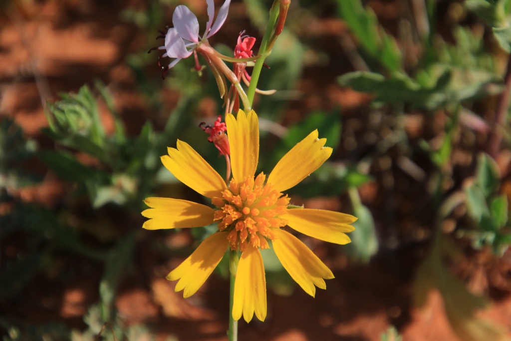
Today we continued our slow drive home through beautiful country roads, mostly in Texas. Contrary to what we had imagined, especially after yesterday's sandy part, we quickly reached a region where greenery is abundant, with the buds of the trees mostly in bloom and the field flowers displaying their beautiful colors.

So why not celebrate my birthday by traveling through these regions and letting Nancy dictate our frequent roadside stops so she can take all the flower photos she wanted! Happy birthday Jean... So I'm sorry for canyon, rock and 4Runner fans, this is not the right day for you!!!

So, it’s time for Mother Nature’s show:

53638888173_698e357017_o.jpg


53638670811_082f8385fe_o.jpg


53639124815_e1fda7c374_o.jpg


53638670681_675cefaf65_o.jpg


53639124790_39cf04d145_o.jpg


53639005779_838379d253_o.jpg


53639124525_c26f8fbe96_o.jpg


53637784507_1af5072160_o.jpg


53639124555_f458928458_o.jpg


53637784162_77711efe87_o.jpg


53638887828_14b3bc784f_o.jpg


53638670311_be51b5dc4f_o.jpg


53639124210_234ec64b24_o.jpg


53639124355_1b055f6ba1_o.jpg


53639005244_a5c1df39b4_o.jpg


Following the directions of a waitress at this lunchtime restaurant, we headed to two lakes, one in Texas and the other being Murray Lake in Oklahoma. The fact that we are used to the many lakes of Quebec, the ones we saw appeared to us to be just ok.

We are in Madill, Oklahoma for the night, just on the western edge of the path of the total solar eclipse. Tomorrow, we will try to find a suitable place on the central trajectory to maximize the duration of the shadow, hoping there will be a shadow given the forecast clouds.
 
Day 48:

Starting Point: Madill OK
End point: Post OK
States traveled: Oklahoma, Arkansas

Distance by vehicle: 452 km

Total eclipse day!!! We left Madill OK with skies having just a few clouds. We were optimistic. Headed towards the Oklahoma-Arkansas border on US-70 located directly in the central path of the eclipse to maximize the duration of the total phase. We had about 2.5 hours of driving to do. Little traffic, we were making good progress.

About an hour before arriving at our destination, we reached the clouds whose thick layer does not leave much hope. We decided to continue anyway, knowing that we could still benefit from the darkness of totality, clouds or not.

Once at the border, we decided to go to De Queen in Arkansas to modify our hotel reservation for the night, as we were not going to the area we had planned before the trip. Reservation changed, we will go north rather than south after the eclipse, saving us some distance for our return home.

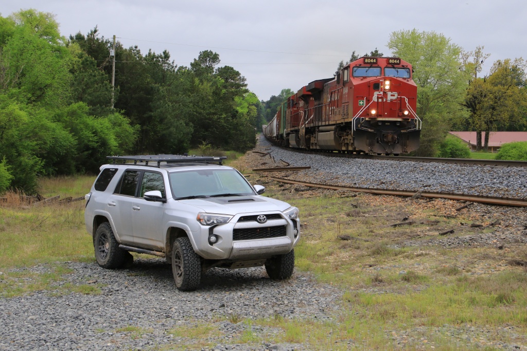
Nancy found us an isolated place, without congestion or traffic, on the edge of a railway line. We said to ourselves that if we couldn't see the eclipse we might be lucky enough to see a train!!! The sky was still cloudy and a fine drizzle was even falling... Not optimistic...

Tchoo, tchoo... A train! And not just any train, a Canadian Pacific train, having purchased the Kansas City Southern Lines Company last year. A train from home, here!!!

53641464928_81785ae8c8_o.jpg


Then two more trains. Definitely, a little lucky in that respect...

Then 12:30p.m. arrived. The partial phase began, still under the clouds. We didn't even know where the sun was...

Then 1:16 p.m. Hey, we sew shadows!!! Although there was a thin layer of clouds, it was enough to at least see the sun and the moon. We got out to enjoy the spectacle... Be indulgent, camera without tripod, lens of only 200mm, and solar filter held at the but in front of the lens...

53641464918_e487715d2a_o.jpg


Then 1:46 p.m., less than two minutes before totality, the clearing in the clouds still persisted!!! Woohoo, we would be able to see the total phase!!!

53641249766_d6c5a31cfc_o.jpg


1:48 p.m., diamond ring, then the total phase!!! We can't believe it! We think of our benevolent angels, Rita, Louis, Laurette, Ernest, Délina, Maurice, Pierrette, Julie, and the others!!! THANKS!!!!!!! The temperature drops, the birds sing, the rooster continues to crow, we see stars and probably the planet Venus, ha the beautiful halo, the solar flares, the beautiful crown, the sunrise all around us. We hear screams coming from around us, everyone is amazed!!!


53640370677_eee63c907b_o.jpg


53641249756_088c95906c_o.jpg


At 1:51 p.m., already the second diamond ring after a quick 4 minutes 20 seconds of totality!!!

53641249751_bd79c2e95b_o.jpg


Then, shortly after, the clouds returned, putting an end to the show. So we left, still surprised that we were able to witness this grandiose spectacle despite the weather forecast.

We had about an hour and a half drive to reach our hotel. At first we didn't notice much traffic, but as we progressed it became denser. Then, at a detour, we joined a long line of vehicles, practically stopped. Nancy put together a beautiful detour for us in her own way, avoiding all the traffic and going through very picturesque places! We didn't save time, but we saw part of the country we didn't planned!

53641707010_8f3e2e08aa_o.jpg


We finally arrived in Poteau, Oklahoma. Nice french name, huh!!! Tomorrow we begin our return proper, putting an end to our visits.
 
Phenomenal pictures from familiar routes. Looks like you have been having a great trip! Unfortunately, I completely forgot to follow along!
 
Phenomenal pictures from familiar routes. Looks like you have been having a great trip! Unfortunately, I completely forgot to follow along!

Thanks! We did have a great time and mostly an superb weather, plus this incredible solar eclipse yesterday.

Next time, you should do better!!! :wink2:
 
Last edited:
Day 49:

We had a good day of driving on dry roads and mainly under the sun. We had a first slowdown on I-49 which caused us about 15 minutes of delay, probably caused by an accident. We took an exit then small roads and joined I-44 further.
Afterwards, Nancy insisted on passing through St. Louis to see Gateway Arch up close, along the Mississippi River, but without stopping. Construction caused us another 30 minutes of delay leaving the city. But we had time to see this magnificent arch again, symbol of the gateway to the west.

We are in Brazil, Indiana for the night. Tomorrow we will continue our return journey to reach New York State.

Starting point: Post OK
Arrival point: Brazil IN
States traveled: Oklahoma, Arkansas, Missouri, Illinois, Indiana

Distance by vehicle: 998 km
 
Day 50:

We drove another long stretch of Interstates, under mostly cloudy skies, but without any notable precipitation. Tomorrow we will finally reach home.

Starting point: Brazil IN
End point: Victor NY
States traveled: Indiana, Ohio, Pennsylvania, New York

Distance by vehicle: 1007 km
 
Day 51:

We are finally back safely home, after driving most of the time in the sometimes heavy rain. By chance, the traffic was really light today.

We took a short detour to go through Massena NY to pick up a few goodies purchased during the trip for the 4Runner. I will update my build thread when installed.

Starting Point: Victor NY
Arrival point: Montreal QC
States/provinces traveled: New York, Ontario, Quebec

Distance by vehicle: 488 km
 
Here we go again...

Title says it all. Really pissed off now. First term, then COVID, then this madness... Things will never be the same. Thinking about selling the 4Runner and move on...
 
Title says it all. Really pissed off now. First term, then COVID, then this madness... Things will never be the same. Thinking about selling the 4Runner and move on...

Don’t forget, Americans love Canadians. Our government has gone mad. But hold on, this too will pass someday.

You have a great travel thread. I’ve been adventuring a lot in southern Utah and have used your posts for ideas. Keep it up!
 
Don’t forget, Americans love Canadians. Our government has gone mad. But hold on, this too will pass someday.

You have a great travel thread. I’ve been adventuring a lot in southern Utah and have used your posts for ideas. Keep it up!

I have to admit I always had great and respectful exchanges with Americans during my trips. The relation between both our countries has mostly been really friendly. I know that what is happening is not approved by all Americans. But voters should not use that as an excuse since more than 50% of them supported this candidate who is currently doing exactly what he said during the election campaign.

We Canadians are proud of our country and this 51st state bullshit is really frustrating. This has a great side effect since all Canadians are now engaged patriotic and are acting accordingly.

I am also afraid that some lunatic, inspired by the hattery dispersed by the current administration, could perform whatever kind of retaliation against Canadian travelers. I am not the only one thinking this way since air travels from Canada to the US already dropped more than 70% since January on an yearly basis. I can't imagine the economic impact of this, and this is without counting the reduction in ground travellers like me. In Florida, a large portion Quebecers (called snowbirds) are now selling their house or apartment because they fell unwelcome now. For me, spending an huge cost for a multi-weeks trip (staying in hotels, eating in restaurant and spending fuel) doesn't make sense anymore when the economy of my country is under attack. We are feeling betrayed. Really.

This is so sad because both countries had a good relationship since so many years. I was sometime reluctant in traveling to some other countries, but not in the US since I was feeling like home. The change that are occurring these days will have a lasting negative impact I am afraid.

Ok, I have expressed my point. This is not a political forum, so this thread will stay silent for a long time, hoping one day things will get back to normal, whatever this means.

Thanks for your good comments on this thread. I had a lot of fun traveling and writing these reports.
.
 
Last edited:
I have to admit I always had great and respectful exchanges with Americans during my trips. The relation between both our countries has mostly been really friendly. I know that what is happening is not approved by all Americans. But voters should not use that as an excuse since more than 50% of them supported this candidate who is currently doing exactly what he said during the election campaign.

We Canadians are proud of our country and this 51st state bullshit is really frustrating. This has a great side effect since all Canadians are now engaged patriotic and are acting accordingly.

I am also afraid that some lunatic, inspired by the hattery dispersed by the current administration, could perform whatever kind of retaliation against Canadian travelers. I am not the only one thinking this way since air travels from Canada to the US already dropped more than 70% since January on an yearly basis. I can't imagine the economic impact of this, and this is without counting the reduction in ground travellers like me. In Florida, a large portion Quebecers (called snowbirds) are now selling their house or apartment because they fell unwelcome now. For me, spending an huge cost for a multi-weeks trip (staying in hotels, eating in restaurant and spending fuel) doesn't make sense anymore when the economy of my country is under attack. We are feeling betrayed. Really.

This is so sad because both countries had a good relationship since so many years. I was sometime reluctant in traveling to some other countries, but not in the US since I was feeling like home. The change that are occurring these days will have a lasting negative impact I am afraid.

Ok, I have expressed my point. This is not a political forum, so this thread will stay silent for a long time, hoping one day things will get back to normal, whatever this means.

Thanks for your good comments on this thread. I had a lot of fun traveling and writing these reports.
.

Enjoyed reading your trip reports over the years so it's sad to read your post. Most Americans are welcoming folks. Hopefully things will change.
 
I appreciate you sharing your travels over the years. I'm "glad" that you and so many other Canadians are choosing to not continue with business as usual. There is no better way to show Americans the value of friends and allies than to have us experience a world without them.
 
I appreciate you sharing your travels over the years. I'm "glad" that you and so many other Canadians are choosing to not continue with business as usual. There is no better way to show Americans the value of friends and allies than to have us experience a world without them.

Absolutely right. But it is sad we have to endure this. Seeing you are from PNW, this region is high on my todo list. But this has to wait...

Thanks for following my adventures.
 

Members online

Forum statistics

Threads
278,310
Messages
3,554,080
Members
248,016
Latest member
Advally Service

Trending content

Back
Top