Mark_BC
Senior Member
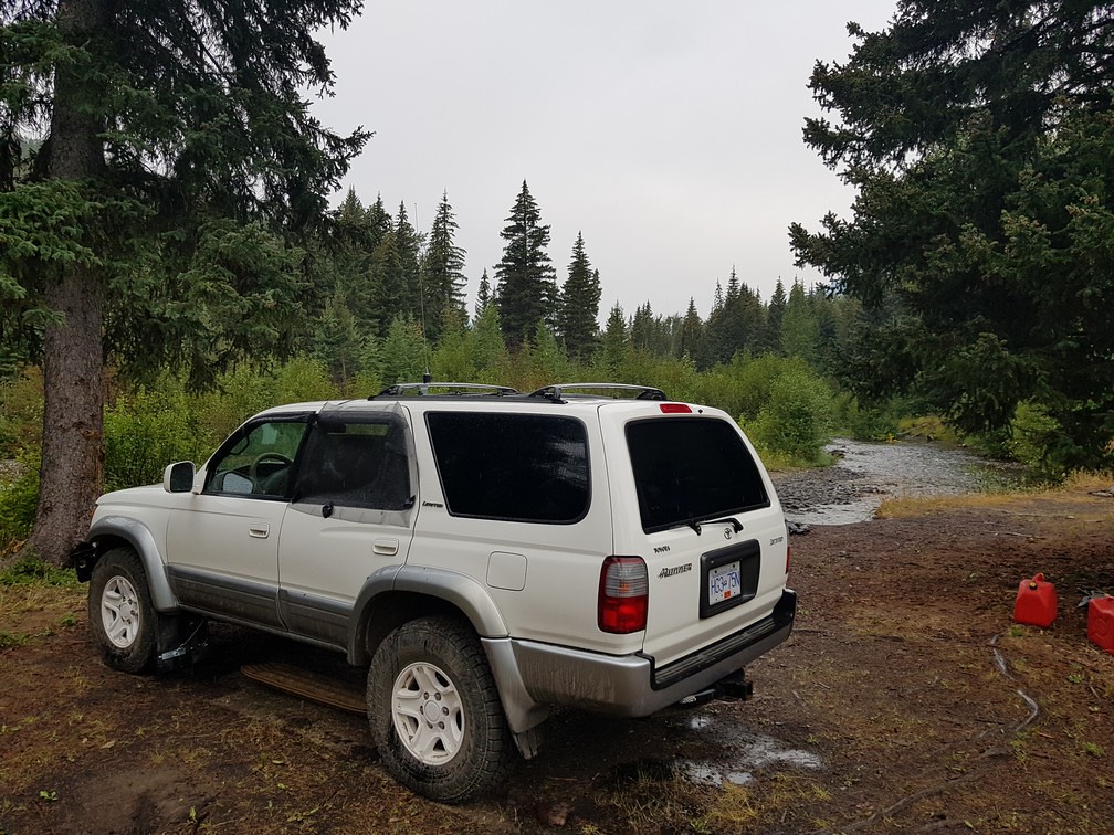
There was a little bit of rain overnight, enough to get the ground wet.
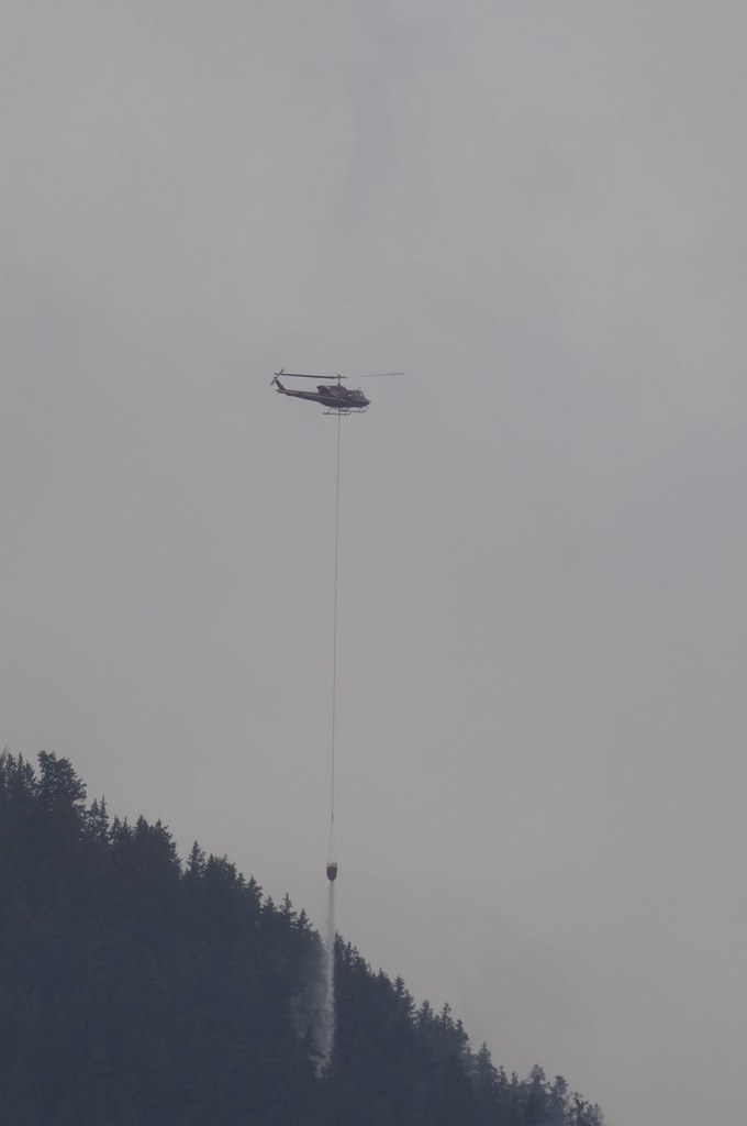
The firefighters were back at it with the helicopter, dumping the bucket on flare-ups.
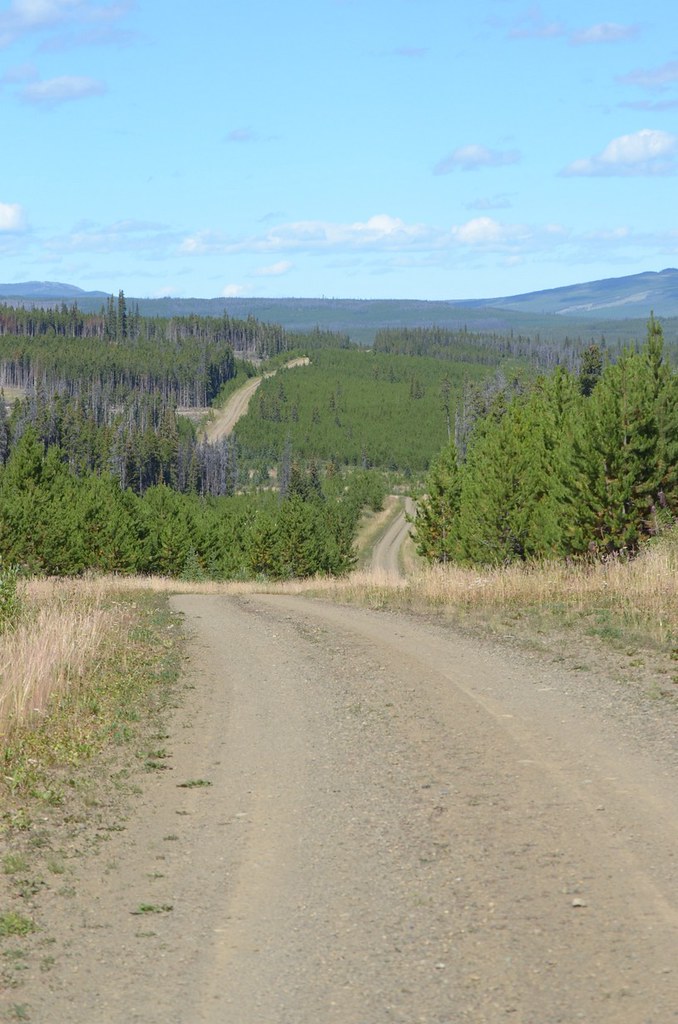
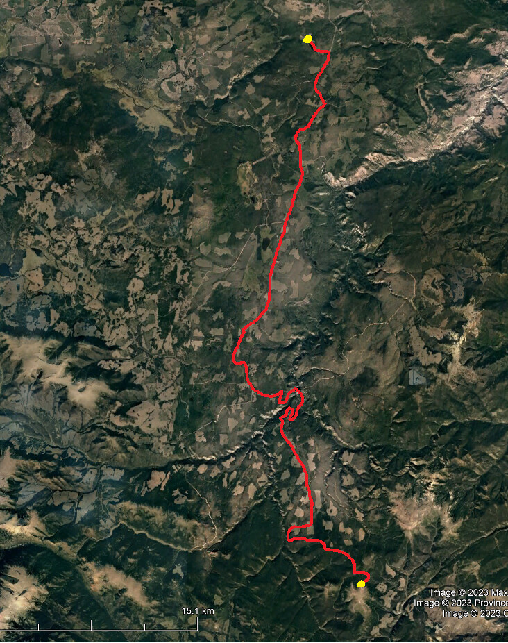
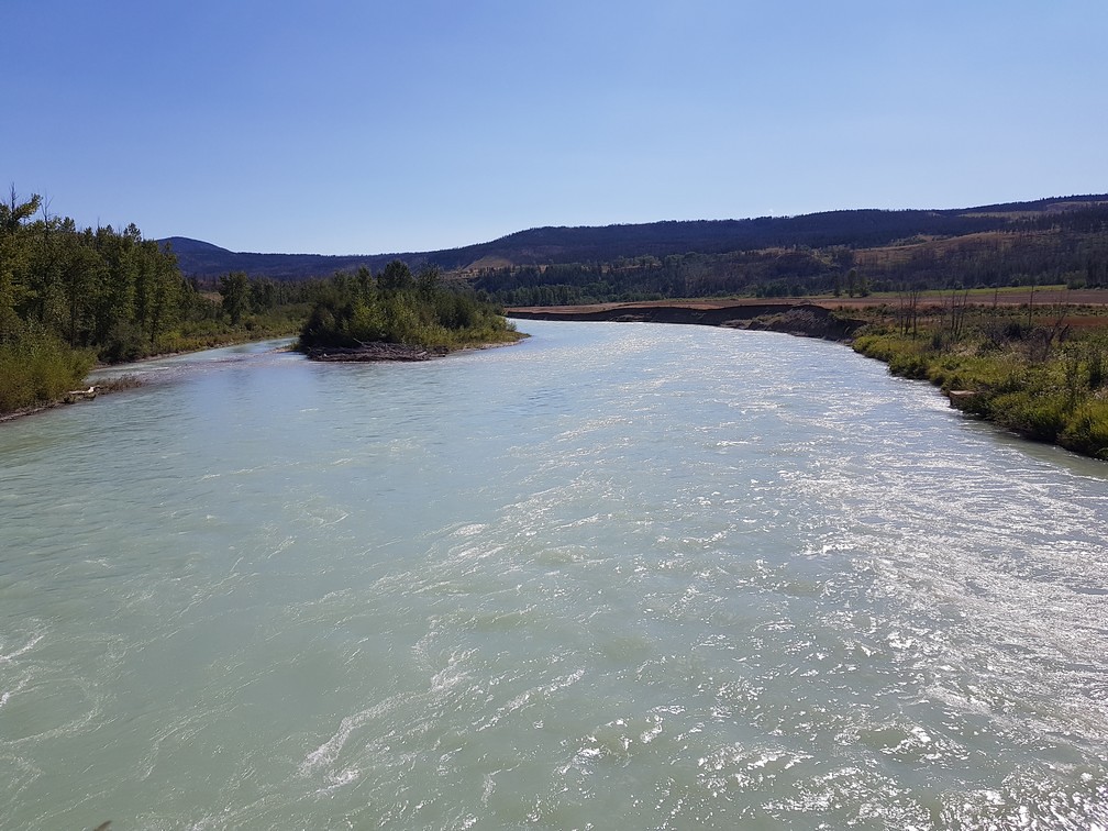
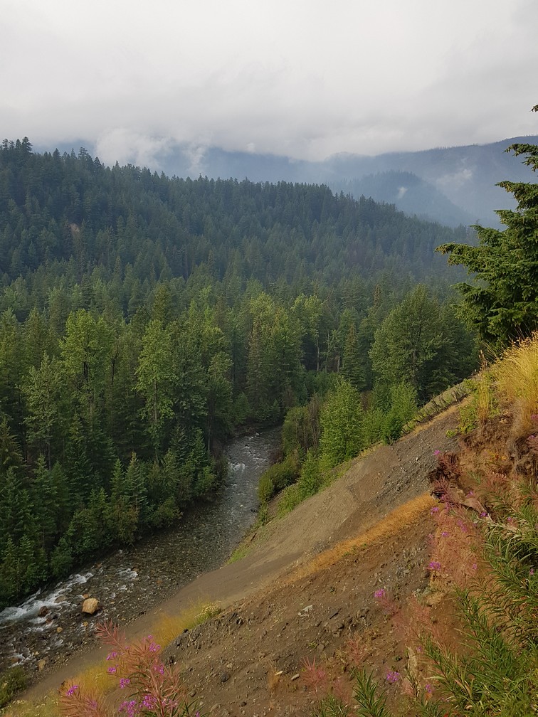
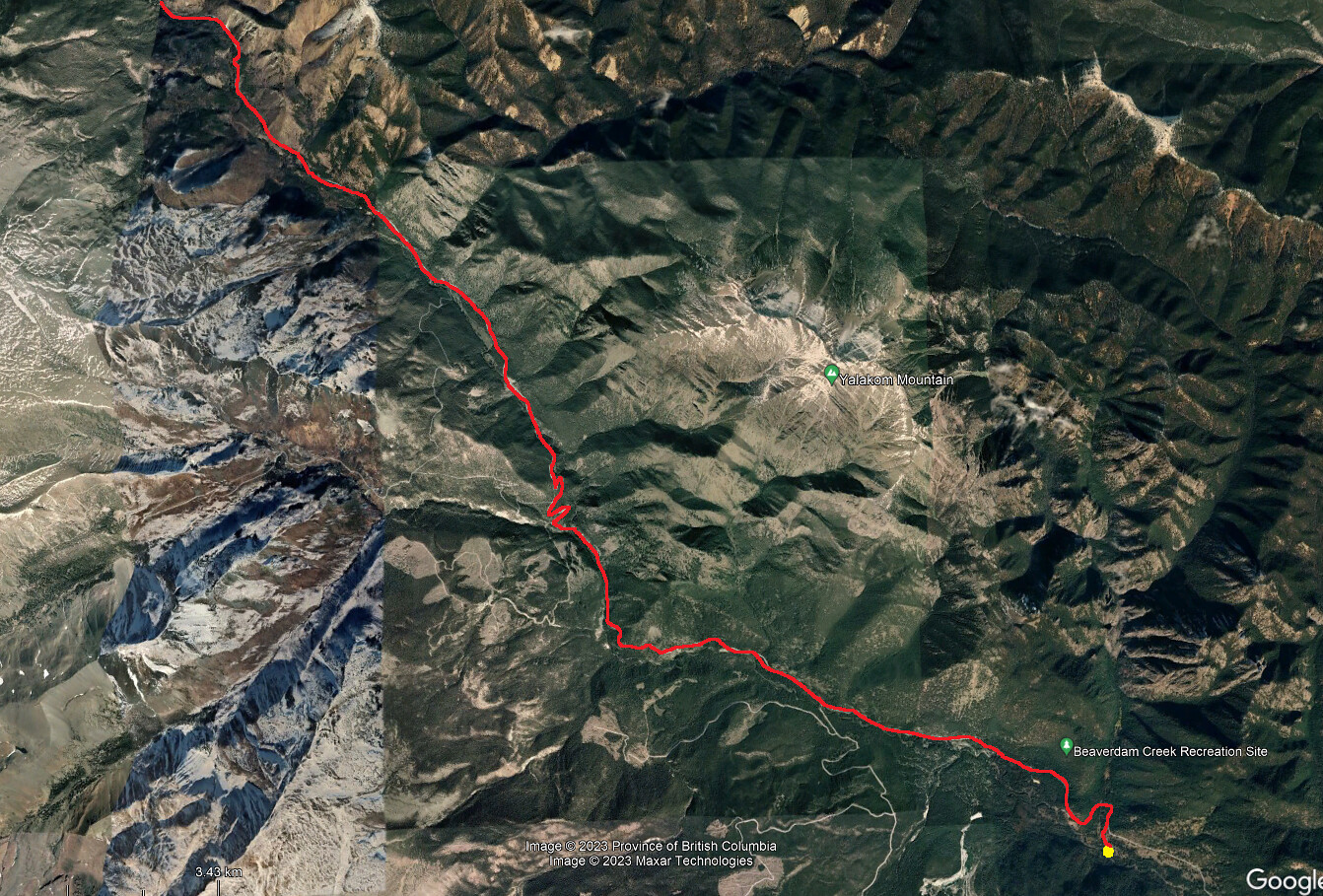
I continued driving up the valley. Yalakom is a pretty long valley and it connects up with the Mud Lakes road, which comes from the more popular recreation use areas further west, via Poison Mountain area. I wasn't exactly sure how the roads went up at the top but I'd figure it out, even though I had no Google Earth.
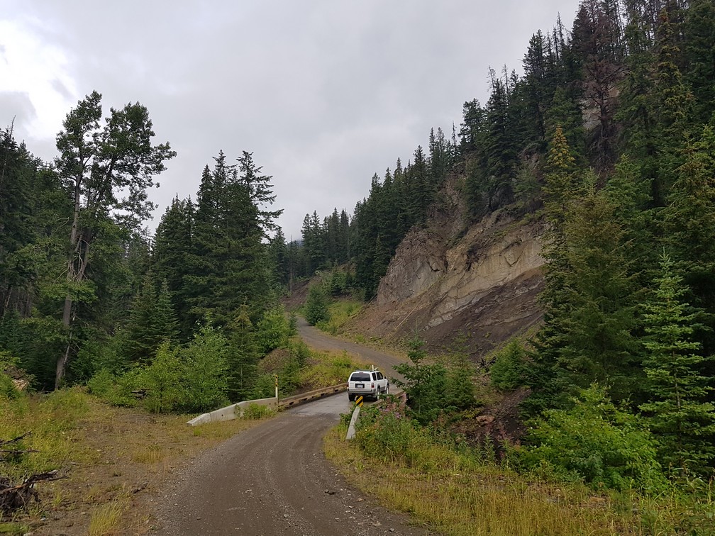
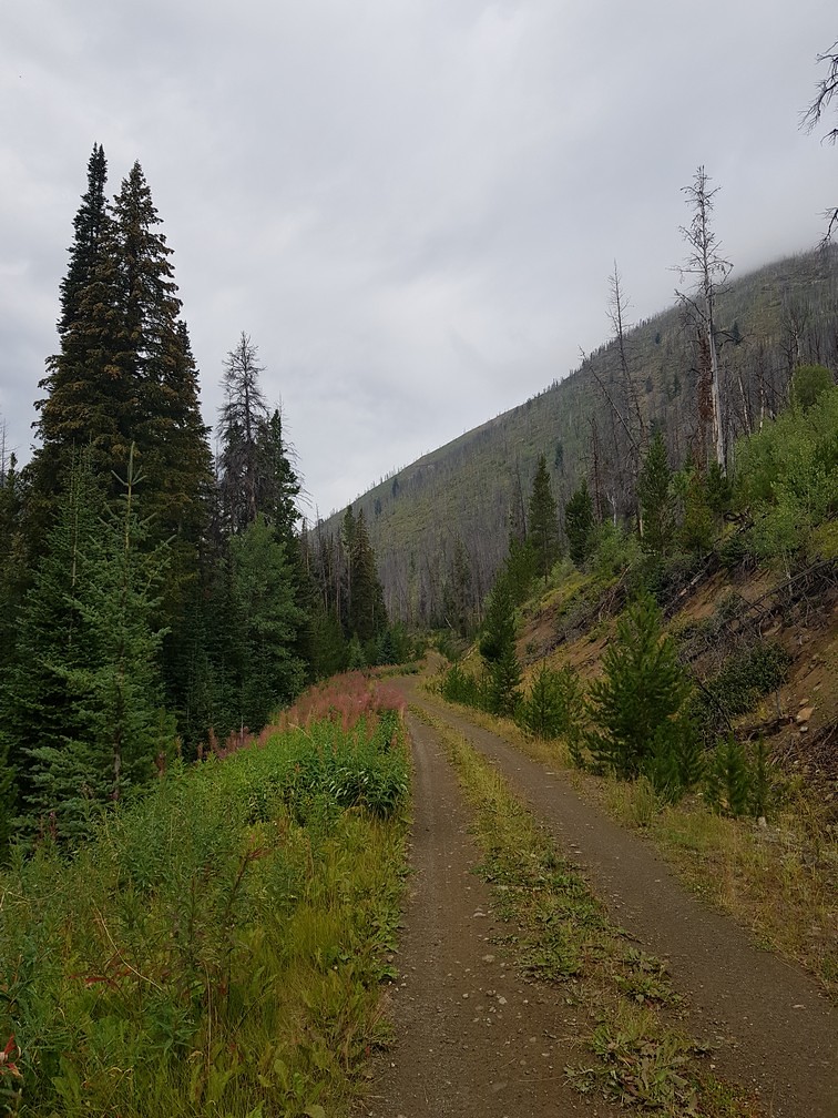
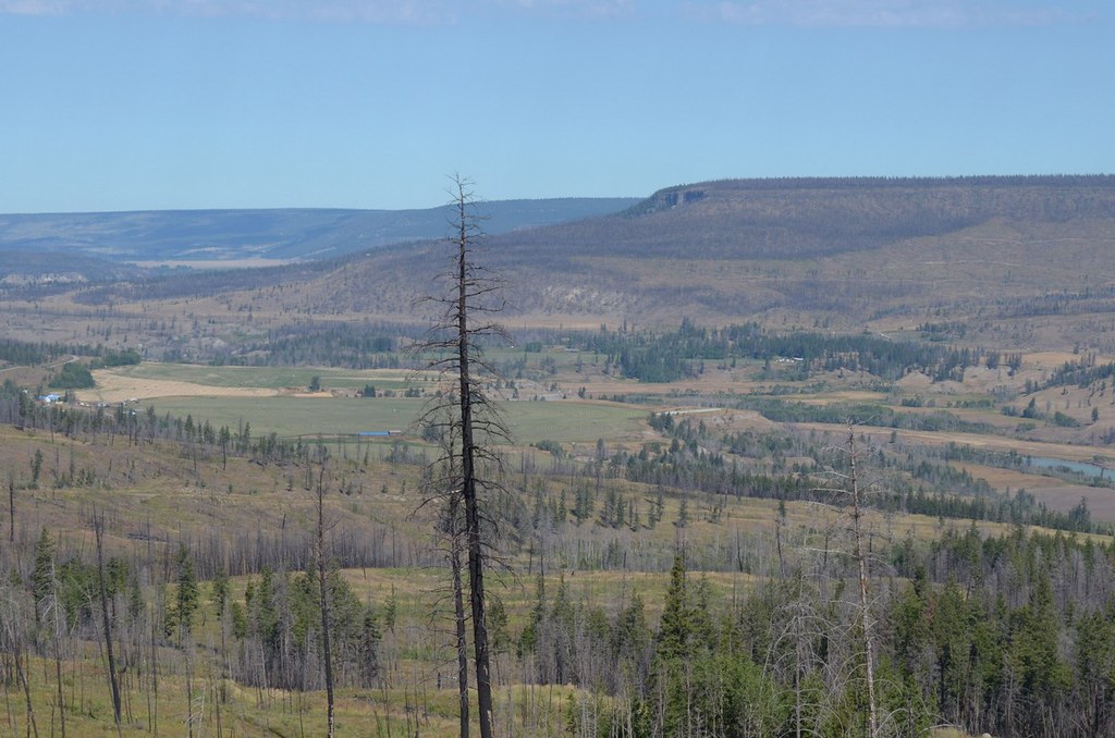
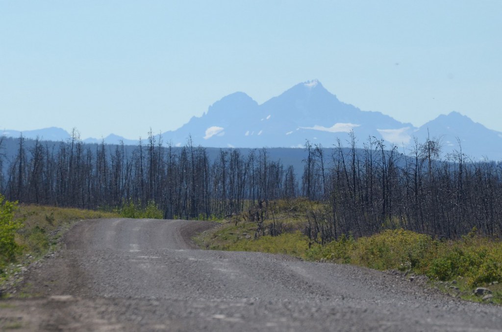
As I headed up, the road went through an old burn area with a backdrop of silver dead tree trunks.
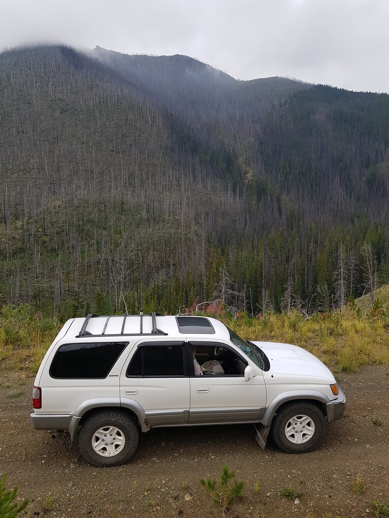
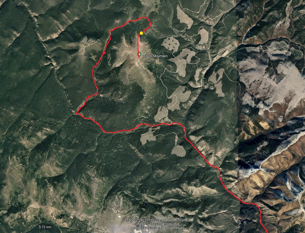
I encountered the junction in the road; to the right it goes counter clockwise around Poison Mountain. To the left it goes clockwise. I went left.
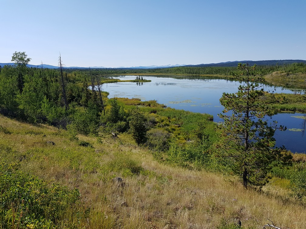
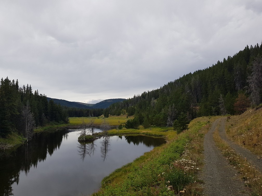
Soon after I passed by a series of pretty small lakes with alpine-like vegetation.
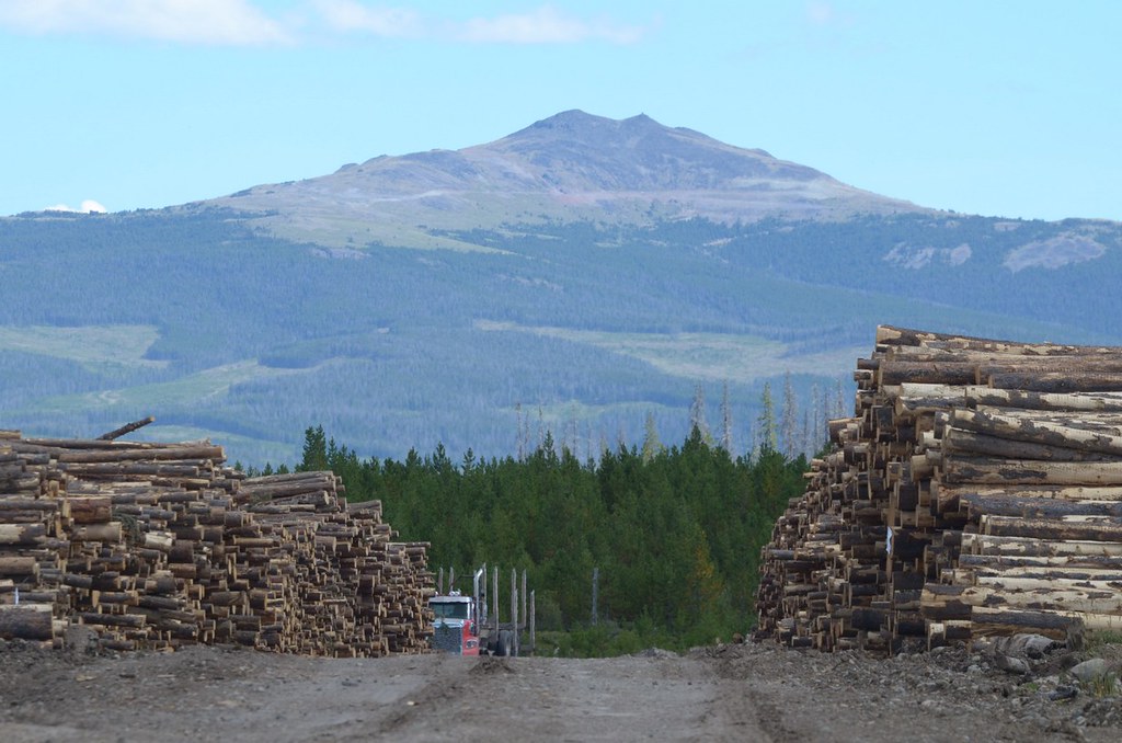
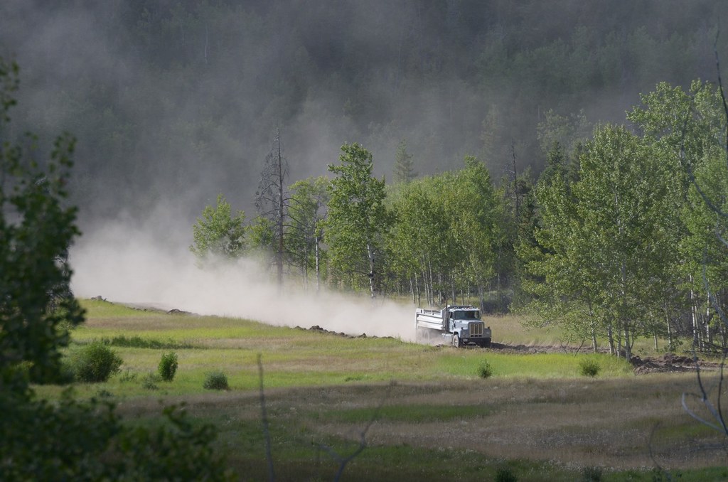
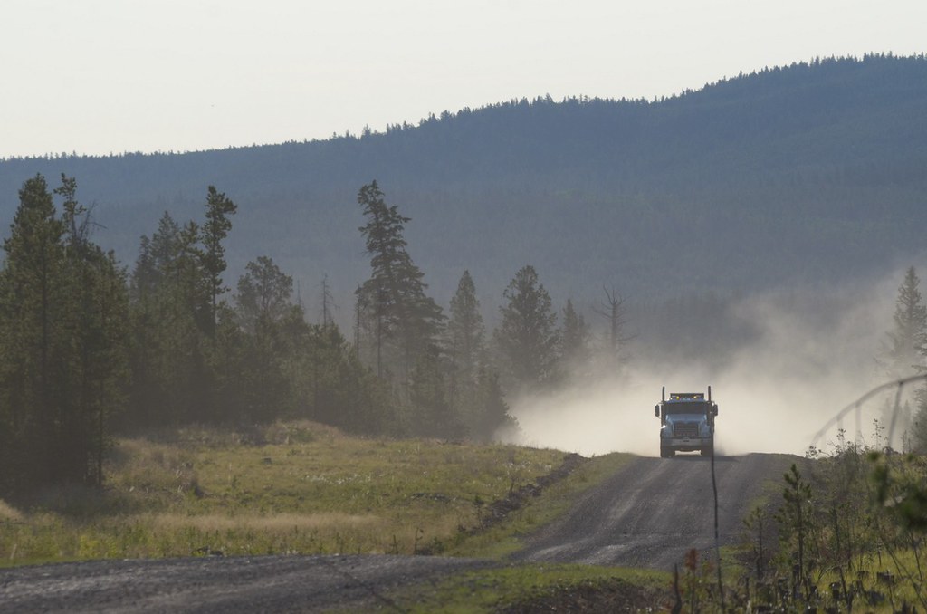
I could hear the forestry activities happening nearby somewhere but could not see them.
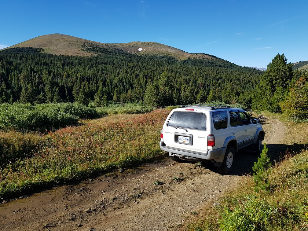
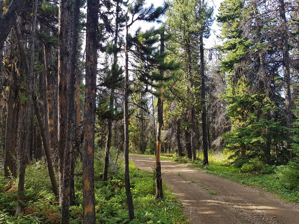
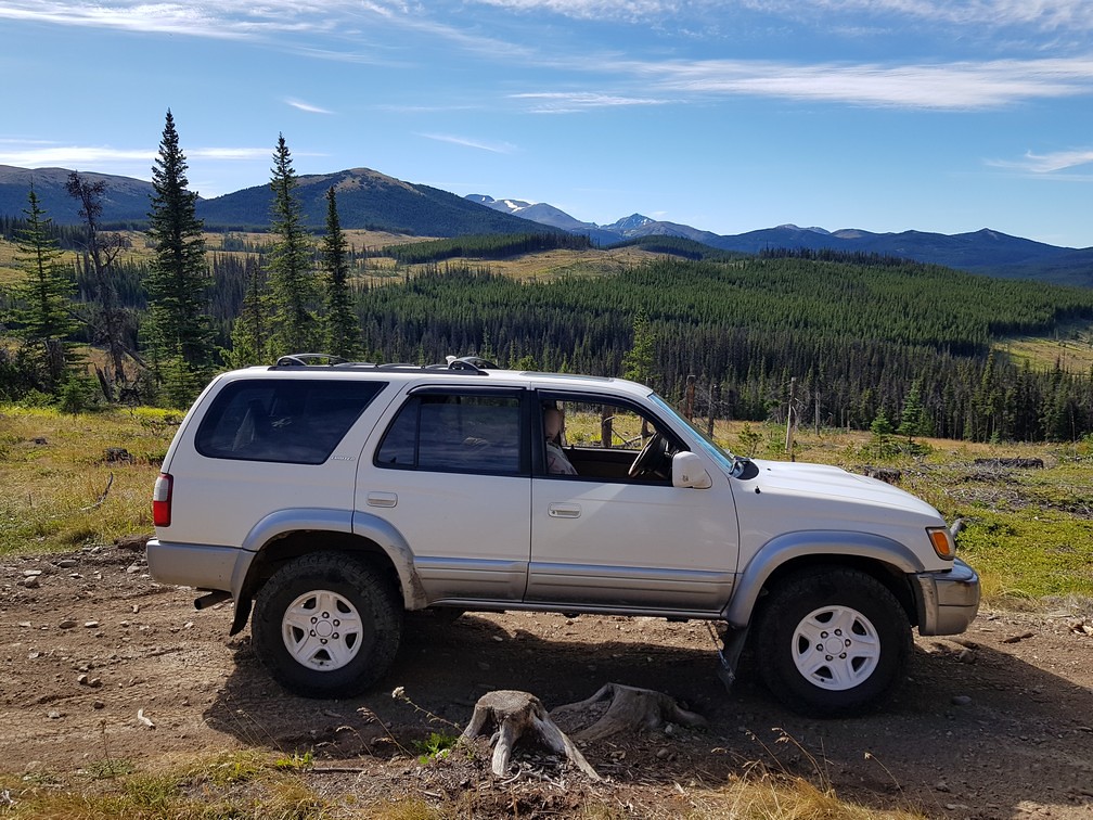
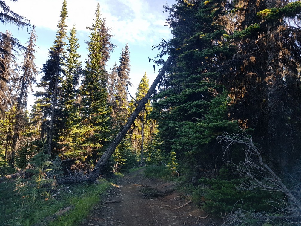
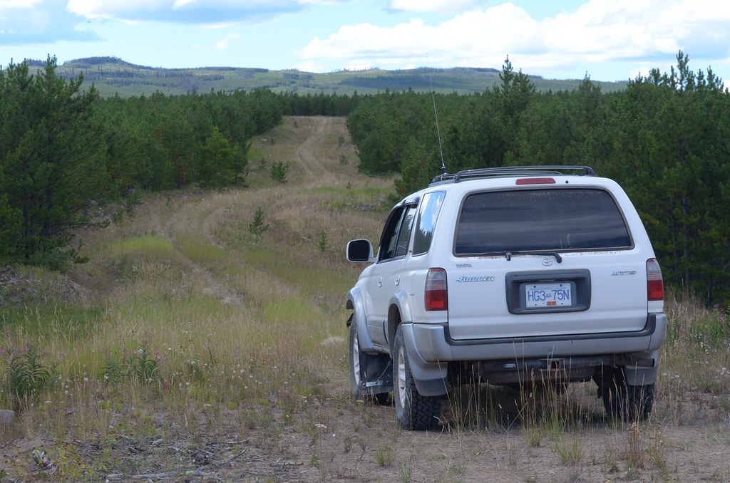
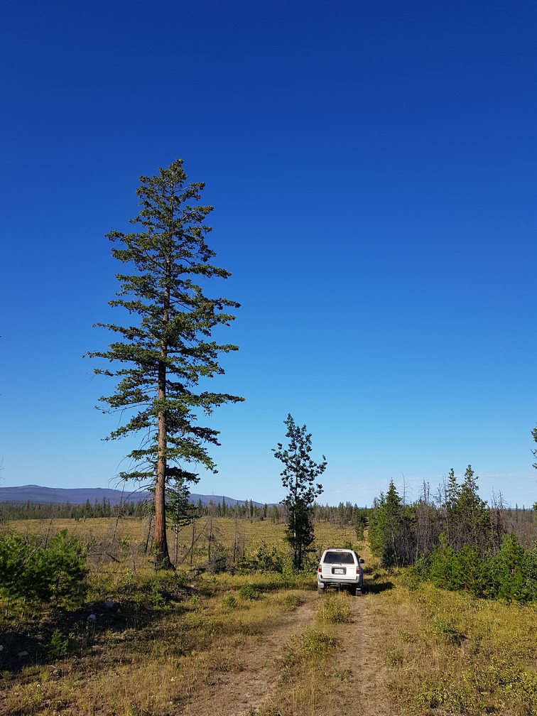
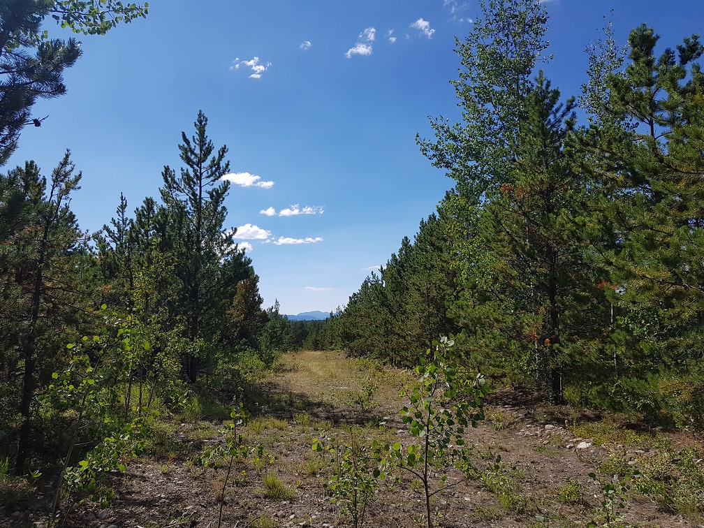
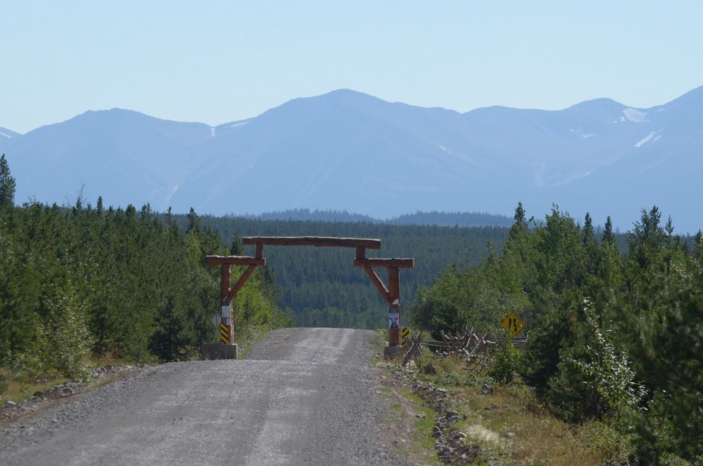
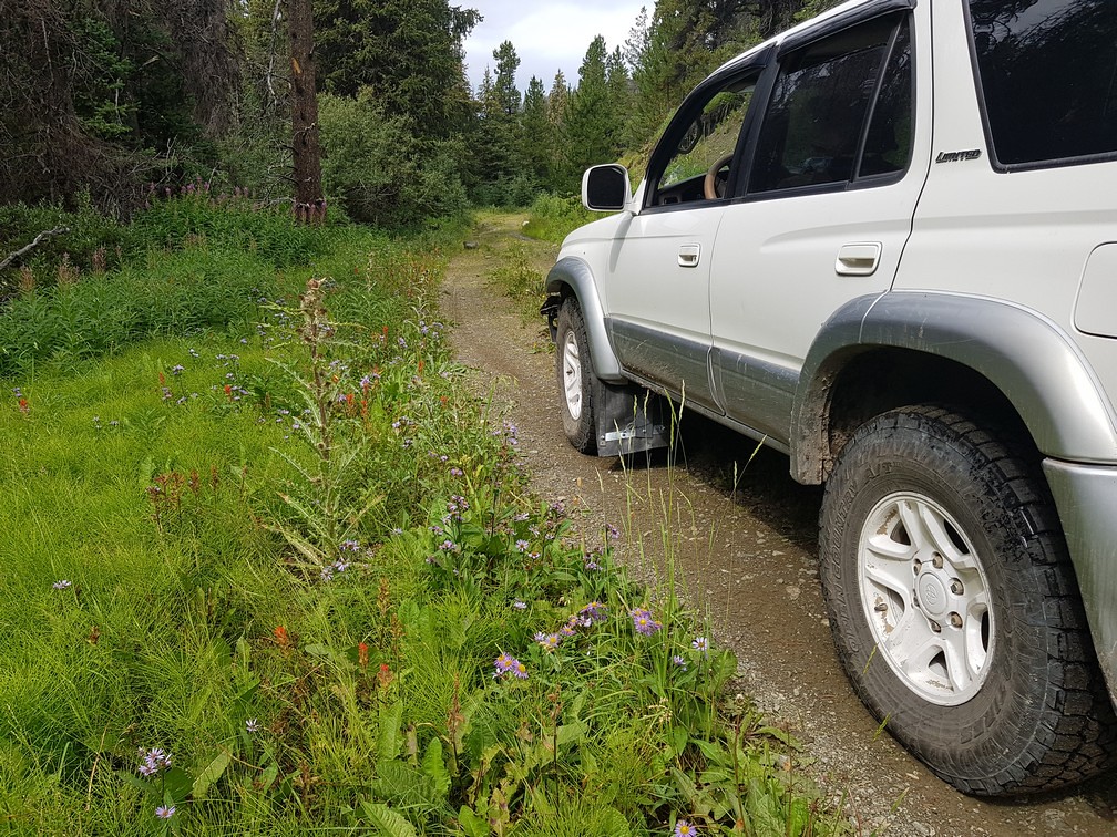
The road becomes very narrow and I would not want to bring a vehicle much bigger than my 4runner through due to the downed trees along and over the trail.
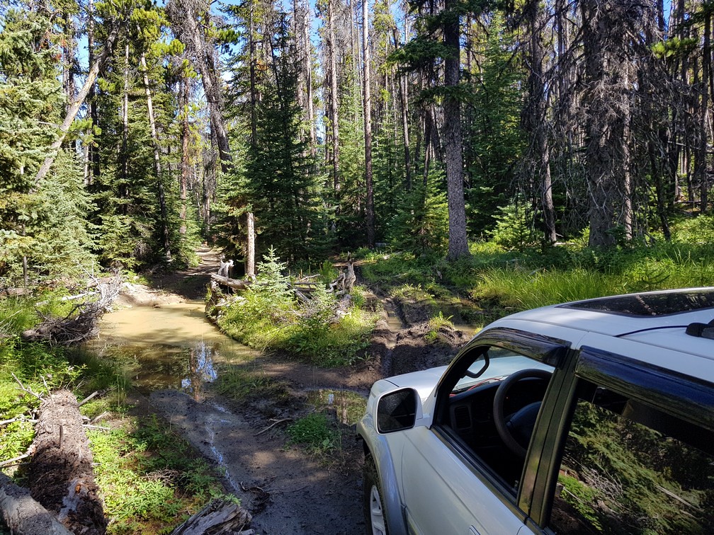
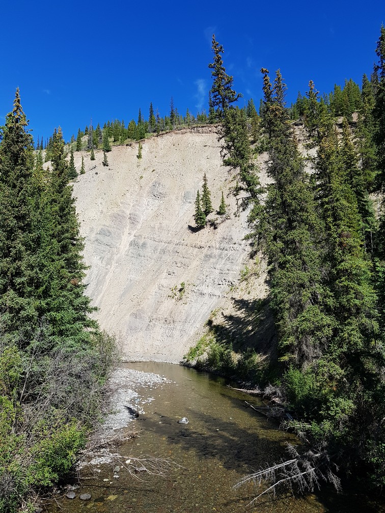
I came to a creek crossing beside an old core sample drilling operation.
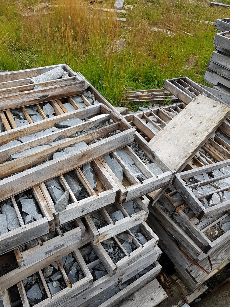
To the east of here is a whole network of old exploration roads. I had lunch here -- avocado, cheese, cucumber, tomato, hummus, on crackers – the usual. I was getting up in elevation here and it was cool. As I left a bee flew onto the hood and wouldn't leave since he liked the heat. I forced him off since I didn't want to bring him too far away from his home range.
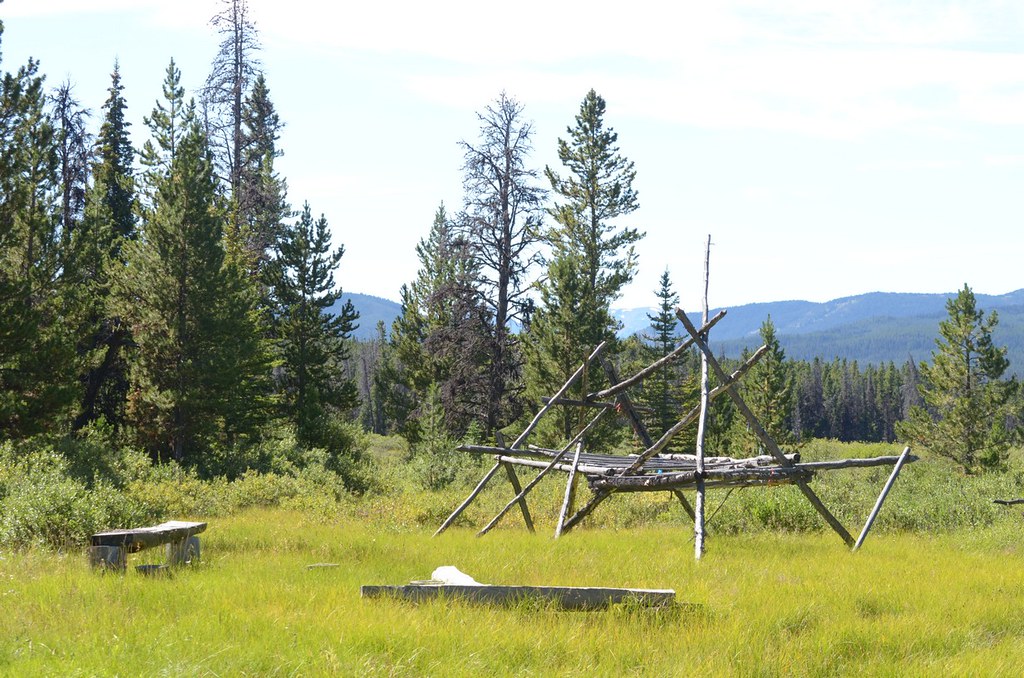
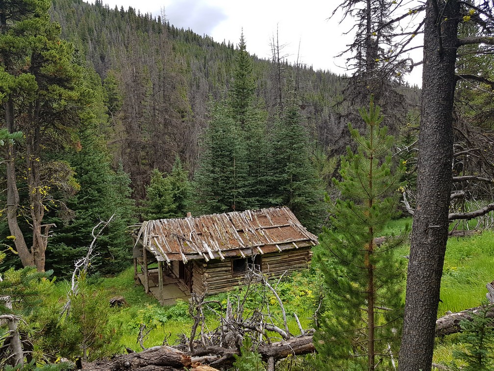
At one point the trail goes by an old cabin.
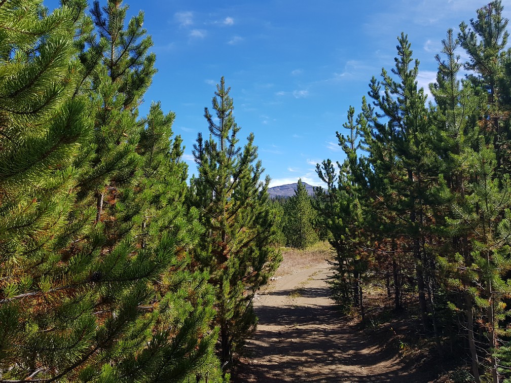
Eventually I emerged into the alpine and the main trail junction. To the left it goes north-west to Mud Lakes and connects to the vast Chilcotin Plateau. To the right, it goes up to Poison Mtn.
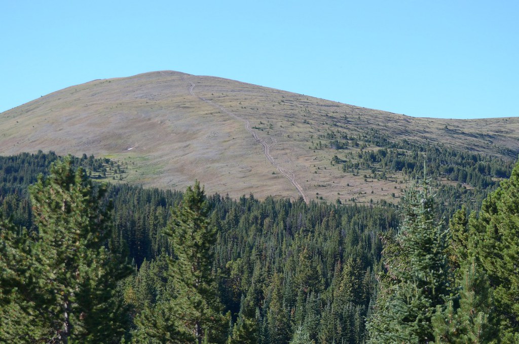
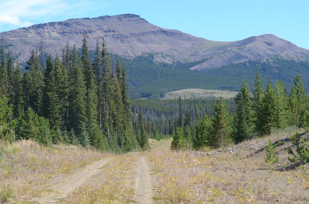
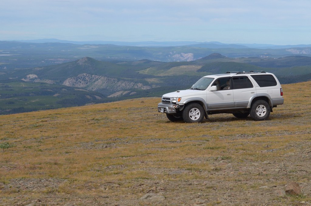
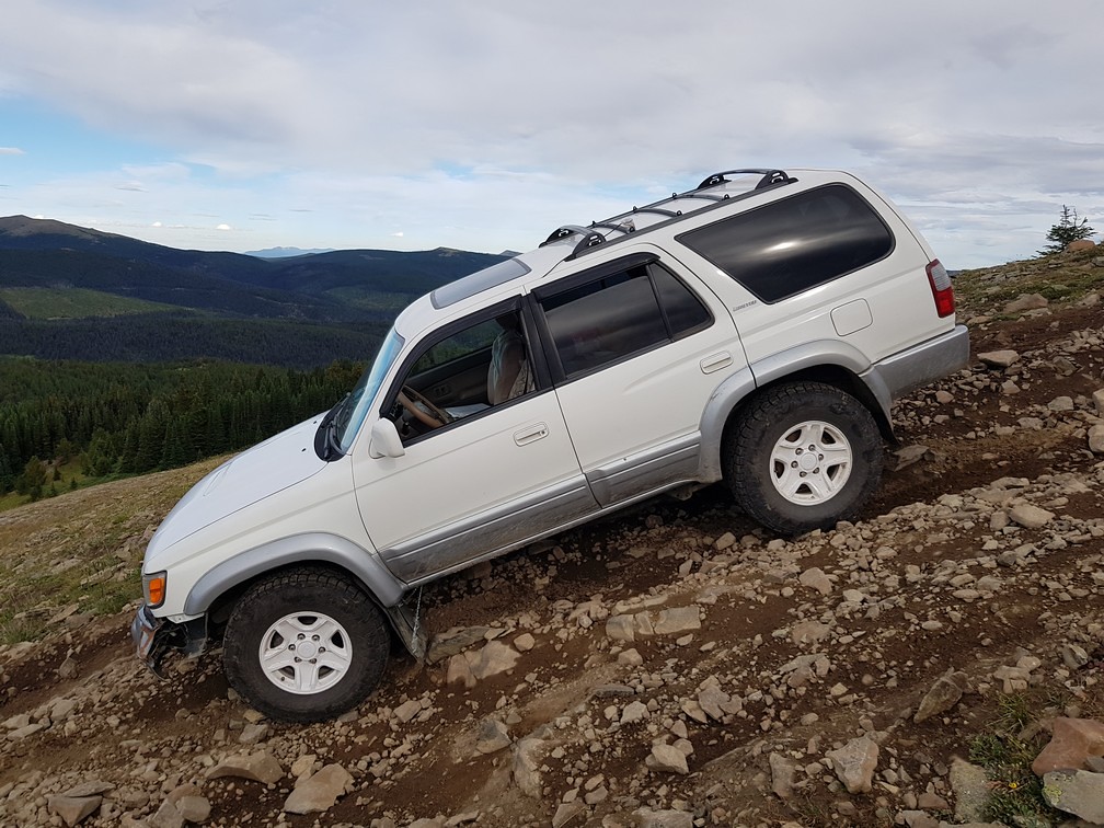
Poison Mtn has a really steep straight run up its north face to its peak. Usually when I've seen it on Youtube, people go up in groups. I was by myself. It was pretty intimidating at the base but I decided I came all this way so I should go up too. Just don't stop on a steep section.
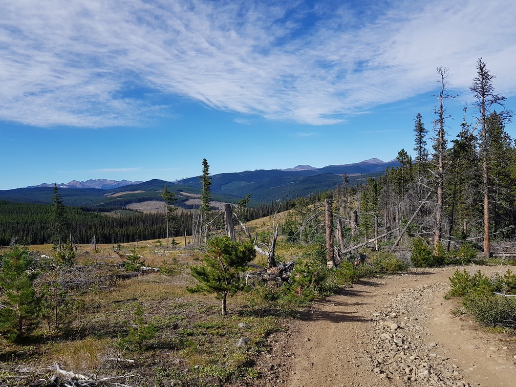
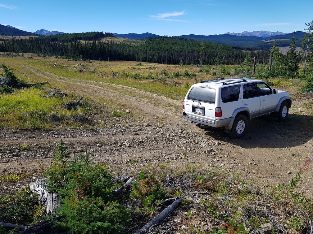
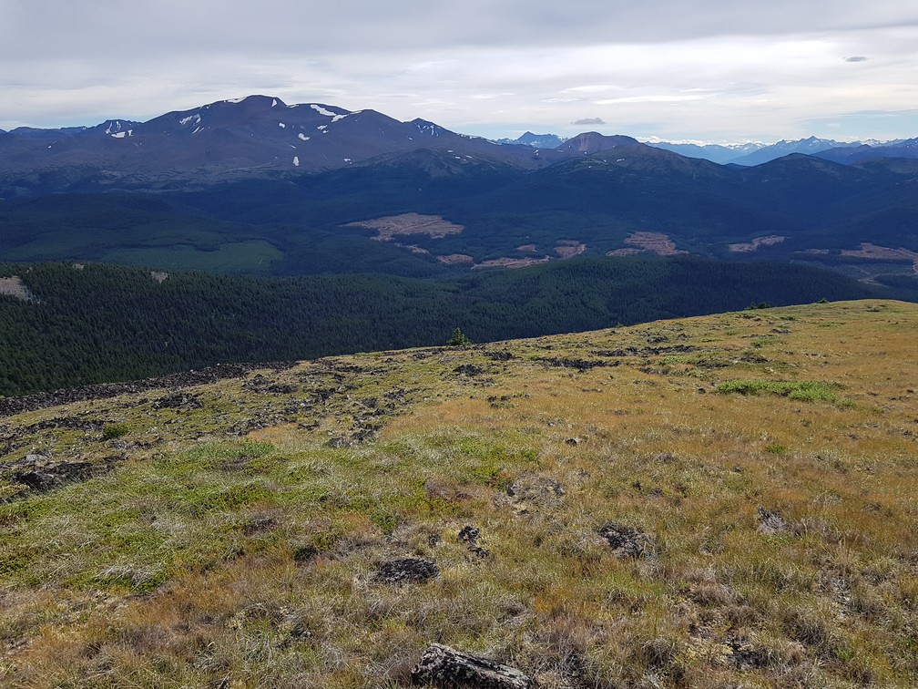
It goes up for a while and at the top it has panoramic views in all directions. I could see the Yalakom Valley I just came up, including the smoke from the fire there. That seemed to be the only fire around.
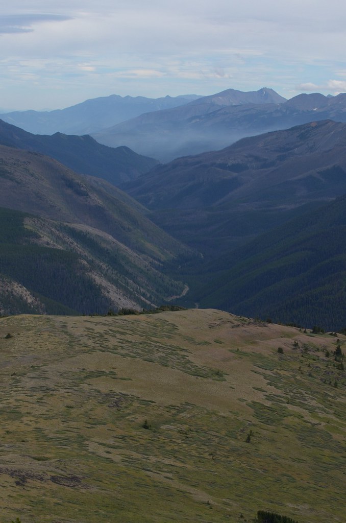
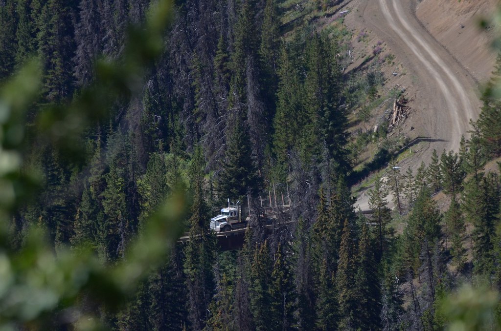
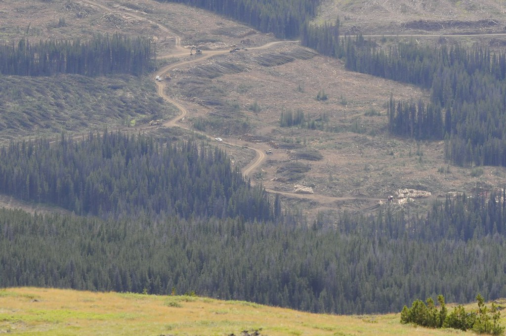
And the forestry activities were visible nearby.
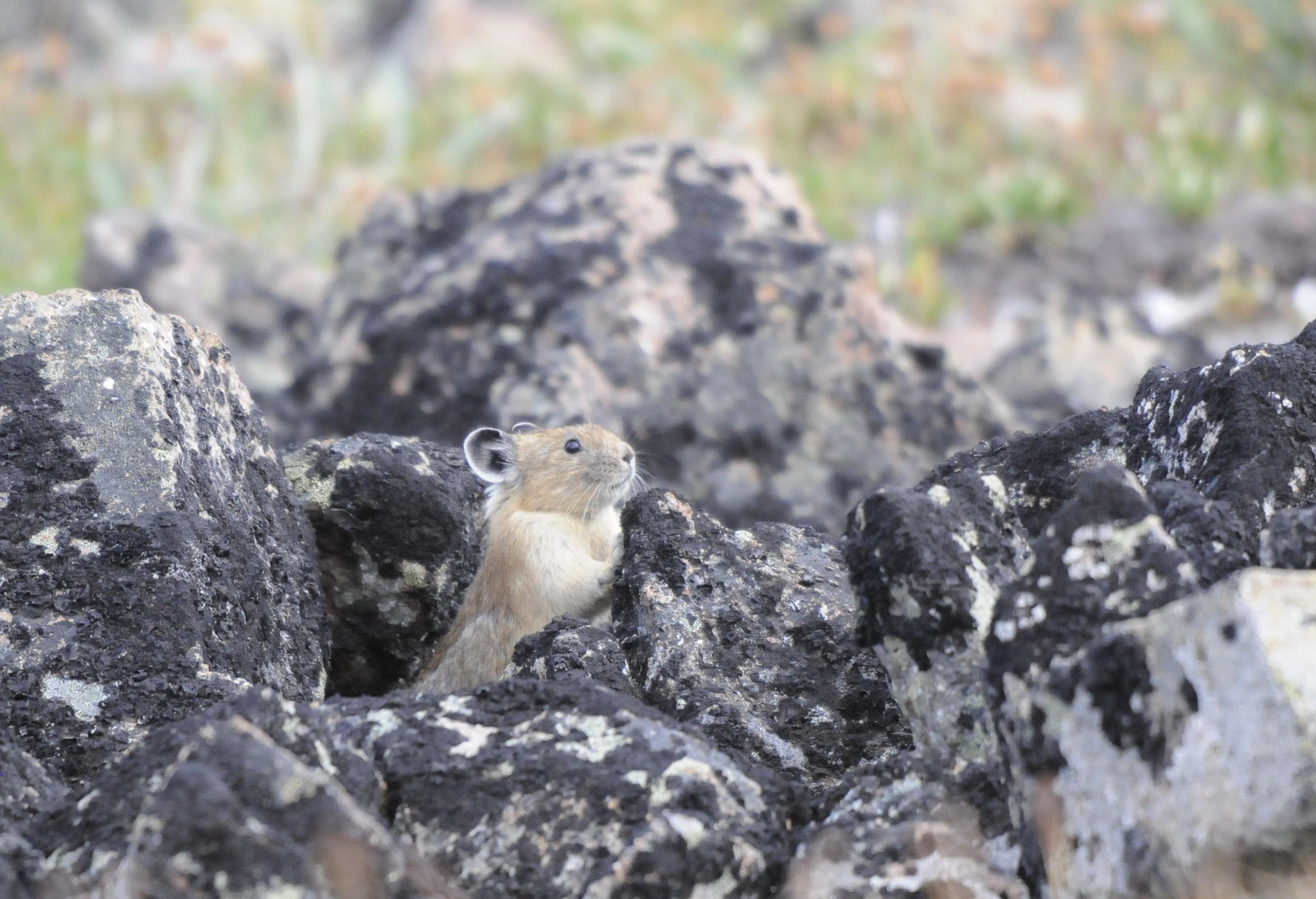
Poison Mtn is kind of in the transition between the Chilcotin mountains to the south, and the Chilcotin plateau to the north. It's definitely worth the trip up for the views. I could not find a single piece of garbage on the mountain – nice.
I turned around to go back down to find camp for the night. The low gearing in 4LO just isn't low enough to allow for engine braking on these steep loose trails. So I had to use my brakes which was causing them to overheat. So I stopped about 4 times for 10 minutes to allow them to cool.
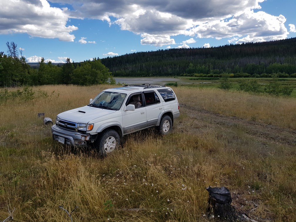
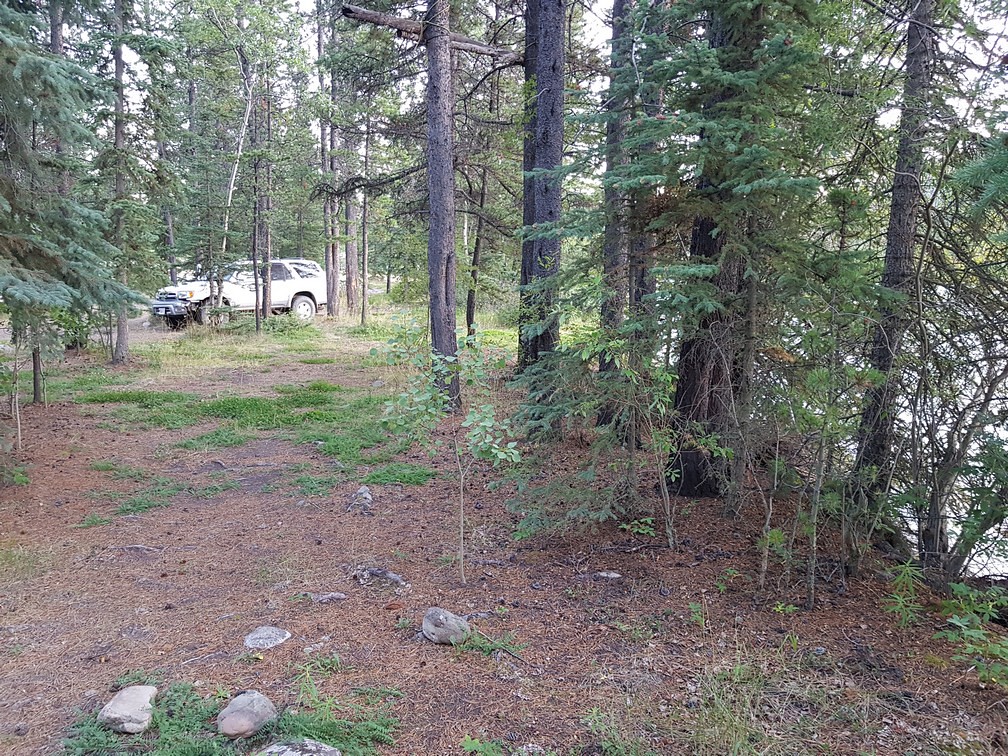
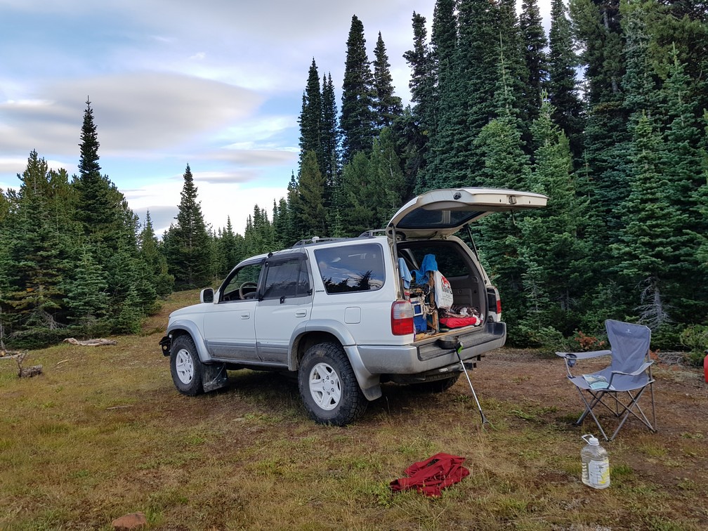
I found a campsite near where the road re-enters the subalpine forest. I picked up the bits of garbage around and had a good night's sleep.
The firefighters were back at it with the helicopter, dumping the bucket on flare-ups.
I continued driving up the valley. Yalakom is a pretty long valley and it connects up with the Mud Lakes road, which comes from the more popular recreation use areas further west, via Poison Mountain area. I wasn't exactly sure how the roads went up at the top but I'd figure it out, even though I had no Google Earth.
As I headed up, the road went through an old burn area with a backdrop of silver dead tree trunks.
I encountered the junction in the road; to the right it goes counter clockwise around Poison Mountain. To the left it goes clockwise. I went left.
Soon after I passed by a series of pretty small lakes with alpine-like vegetation.
I could hear the forestry activities happening nearby somewhere but could not see them.
The road becomes very narrow and I would not want to bring a vehicle much bigger than my 4runner through due to the downed trees along and over the trail.
I came to a creek crossing beside an old core sample drilling operation.
To the east of here is a whole network of old exploration roads. I had lunch here -- avocado, cheese, cucumber, tomato, hummus, on crackers – the usual. I was getting up in elevation here and it was cool. As I left a bee flew onto the hood and wouldn't leave since he liked the heat. I forced him off since I didn't want to bring him too far away from his home range.
At one point the trail goes by an old cabin.
Eventually I emerged into the alpine and the main trail junction. To the left it goes north-west to Mud Lakes and connects to the vast Chilcotin Plateau. To the right, it goes up to Poison Mtn.
Poison Mtn has a really steep straight run up its north face to its peak. Usually when I've seen it on Youtube, people go up in groups. I was by myself. It was pretty intimidating at the base but I decided I came all this way so I should go up too. Just don't stop on a steep section.
It goes up for a while and at the top it has panoramic views in all directions. I could see the Yalakom Valley I just came up, including the smoke from the fire there. That seemed to be the only fire around.
And the forestry activities were visible nearby.
Poison Mtn is kind of in the transition between the Chilcotin mountains to the south, and the Chilcotin plateau to the north. It's definitely worth the trip up for the views. I could not find a single piece of garbage on the mountain – nice.
I turned around to go back down to find camp for the night. The low gearing in 4LO just isn't low enough to allow for engine braking on these steep loose trails. So I had to use my brakes which was causing them to overheat. So I stopped about 4 times for 10 minutes to allow them to cool.
I found a campsite near where the road re-enters the subalpine forest. I picked up the bits of garbage around and had a good night's sleep.