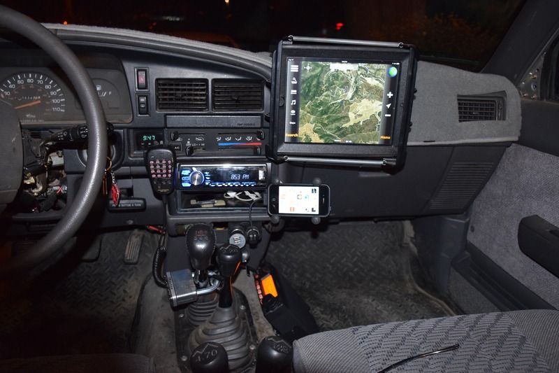
I have an older Delorme hand-held GPS receiver from my Geocaching days, but it eats batteries. For pure rugged GPS use nothing beats a good hiking model. Garmin makes some really good ones.
Technically, there's nothing wrong with your phone's GPS receiver. The GPS satellites are up there, so it will work if you can see the sky. The problem is with downloading maps in areas with no data access.
If you have an Android, I used to love the Back Country Navigator app. I used it for years. Pre-download maps for any area where you won't have data coverage. I haven't used it in years, though, so I can't vouch for its current version.
If iPhone, I now use Avenza's PDF Maps. You can pre-download USGS quad maps for free, or pay to download various commercial maps. Some are quite good. I was able to download free USCOE navigation maps for the local lakes and rivers for boat use last summer. If you have the skills and software, you can even create your own geolocated PDF maps.
I recently bought the Gaia GPS app (father's day present). I haven't had much opportunity to use it, but the few times I have used it I loved it. Lots of people have uploaded trails and tracks, so you can get info on where to go even if your road isn't on the map.
Keep in mind that you can't auto-navigate with these off-line maps. Think of them as raster paper maps. The GPS receiver will tell you where you are on the map, but you'll have to read it to figure out where to go.