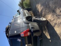
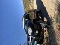
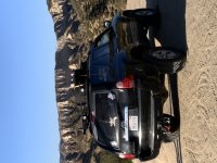
TheWraith
New member
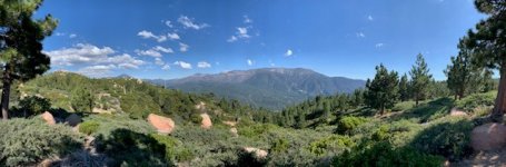
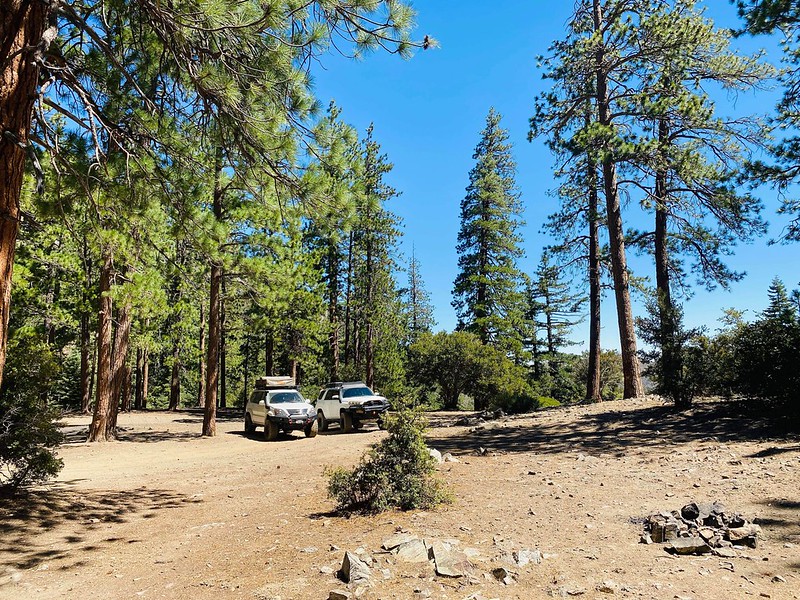
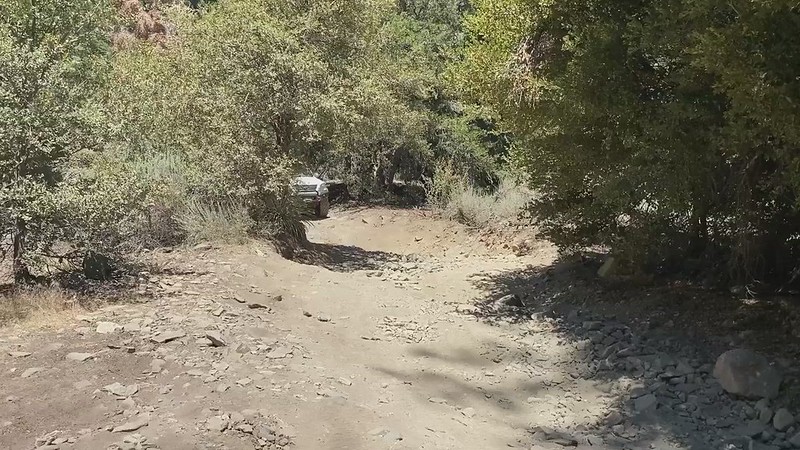
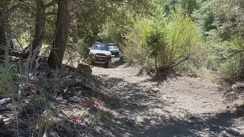
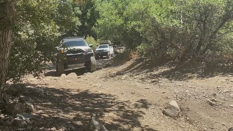
[MENTION=116156]TheWraith[/MENTION] Haven't ran that trail yet, let us know how it went/is. Ok looking at topo/sat maps looks like it might be similar to cleghorn, as in running along a mountain side. Looks to run along a few washes/creeks too. Probably will be hot.
Edit to add end pic at 243, seems there is a gate on the trail to the right. Just shy of 13 miles and an elevation gain of 4100 feet from 74 north to 243.
I'll end up at pine cove Rd ... At the gas station there in idle wild