JohnTheLuck's Adventures Thread

Day 13:

Start point: Moab UT
End point: Moab UT

Distance driven: 205 km
Distanced hiked: 10.2 km


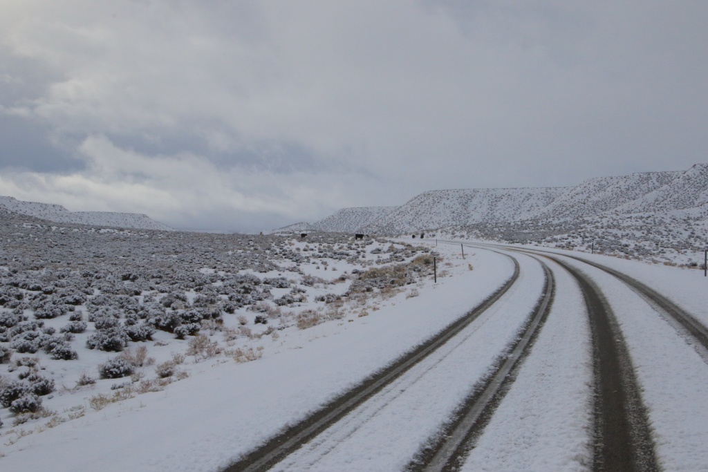
When we planned this trip, one of the objectives was to escape the Quebec winter. We certainly made it, but we didn't escape the US winter!!! As we made our way to our first destination of the day, last night's snowfall made our journey somewhat difficult.

52708874807_9c638f757f_o.jpg


We still can't complain too much, because at least we had some sunshine in the morning and no rain during the rest of the day, a marked improvement compared to the last few days.

Since we knew that this snow was going to prevent us from doing the off-road trails we had planned, we decided to go to Dead Horse Point State Park. This park is located on a high promontory and offers striking views of the Colorado River, as well as Canyonlands National Park. We have already visited this park in April 2010 and January 2014.

We walked the East Rim Trail and took the West Rim Trail for the return, for a distance of 10.2km.

52709880463_f113978a91_o.jpg


52708874942_4b3dfddee7_o.jpg


We see another hiker on the far right in the next photo, and the evaporation ponds of a potash mine far away.

52709401576_014a3f4c3e_o.jpg


After the hike, we decided to go try our luck on the off-road Potash Trail, which runs below the cliffs at Dead Horse point SP and can only be seen a few photos before. We had driven this trail before on a previous trip in August 2010 in a Jeep rental.

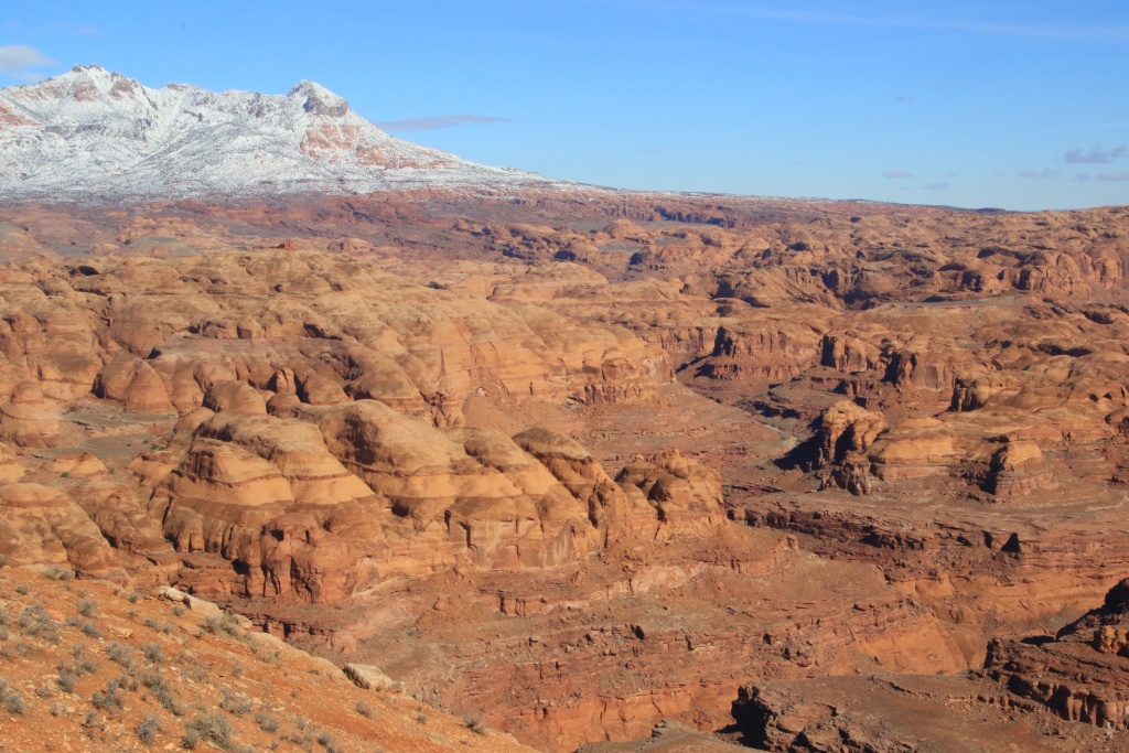
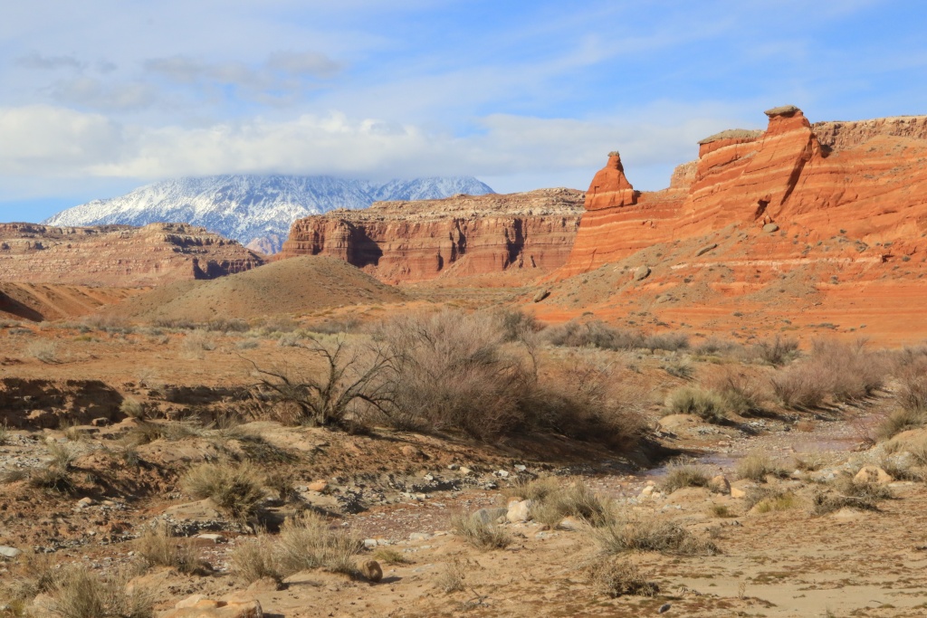
On Potash Trail, the conditions were surprising, with very few muddy areas. The scenery was simply breathtaking, despite the full cloud cover.

52708874897_120db5b837_o.jpg


52708874872_5709c31844_o.jpg


52709401501_08fbd5d49c_o.jpg


52709657614_f11c30b805_o.jpg


52709657599_88692ee960_o.jpg


52709401446_f52620eb91_o.jpg


52709657559_5a0bb522af_o.jpg


We didn't have sufficient time left to reach the junction with the White Rim Road. We stopped at a few overlooks before returning to Moab.

52709657514_f3397dded3_o.jpg


How not to fall in love with these wild and fortunately protected places, where the work of Mother Nature exhibits her work created long before men set foot on this soil. This makes us realize that our passage on this earth is very ephemeral.

Tomorrow, the weather forecast is even more favourable, with much more sunshine and an even warmer temperature than today. We have a reservation for an activity that we have tried to do many times, but without success. This promises, hoping that there are no hurdles.
 
Glad you seem to be having good time despite the less than perfect conditions.

I cannot believe it that while I have wheeled in southern Utah every year, I have not been to the Moab area itself since early 2019! Wow.
 
Our time on this earth depends on your point of view. I prefer this one: " the righteous will possess the earth and they will live forever on it" Psalm 37:29
 
Glad you seem to be having good time despite the less than perfect conditions.

I cannot believe it that while I have wheeled in southern Utah every year, I have not been to the Moab area itself since early 2019! Wow.

My previous long duration stay was in 2016, when we aborted our trip following the death of my dad. That's 7 years!!! Way too long.
 
Our time on this earth depends on your point of view. I prefer this one: " the righteous will possess the earth and they will live forever on it" Psalm 37:29

Yes, this is one way to see it. But I prefer be even more humble and say that during our lifetime, we experience the grandeur of nature and we should respect it.

I hear often people say "let save the planet". Great, but as things goes now, the planet will surely outlive mankind. Even if every nation nuke all the others, the planet will regenerate itself and in 100 or 200 millions years, all the mess we did to it would be long gone.

It is not the planet we have to save, it is mankind from ourselves.
 
Day 14:

Start point: Moab UT
End point: Moab UT

Distance driven: 162 km
Distanced hiked: 7.4 km


One of our dreams finally came true today, after several failed attempts; we managed to hike the famous Fiery Furnace hike in Arches National Park!!! This primitive hike requires a permit, which is quite restricted. In addition, winter conditions often cause access to be simply prohibited. Luckily today there was very little snow.

The place is magical, with its long rocky fins interspersed with deep passages. We knew we had to be in good physical shape, but some passages required quite a bit of skill and the navigation was very difficult. A very narrow passage at the beginning required a lot of contortion on my part and I even had a serious doubt if it would be possible for me to cross it.

During the summer a Park Ranger accompanies visitors, but during the winter visitors are left free to explore.

52710993457_67d02f00d2_o.jpg


52711516021_130e71538a_o.jpg


52711992243_03b86037a1_o.jpg


52711932590_357c2d060d_o.jpg


52710993382_cca061b434_o.jpg


52710993372_c0134e3046_o.jpg


After the hike, which we found quite physically and mentally demanding, we decided to return to Potash Road in order to make the most of the sun, while resting a little. We did well, because we were once again in ecstasy in front of these grandiose landscapes.

52711932510_d58e55653d_o.jpg


52711932520_805376533a_o.jpg


52711776589_458a097186_o.jpg


52710993282_56b7caf978_o.jpg


We were lucky to be able to see a family of bighorn sheep.

52711515796_30df60797a_o.jpg


Our objective in returning to Potash Road was to reach the intersection with the White Rim Road in Canyonlands National Park, which we partially covered in March 2016. This road is named for the presence of a thick layer of whitish rocks, more harder than the rocks below. This promotes the formation of hoodoos which we were beginning to see in the distance.

52710993222_2a1a808124_o.jpg


52711828414_e7c6091a0b_o.jpg


The last segment before joining the White Rim Road is in a canyon with very little sun exposure. Today's temperature was melting some snow still on the road and the road became muddy for a hundred yards. As this road requires a restricted permit which we had not requested, we did not go there. Also, the usual exit takes the Shafer Trail Road winding up the plateau of Canyonlands NP. This road is still covered in snow and ice and is currently closed. So we started our return by returning via Potash Road.

52711984375_f3d04d7315_o.jpg


52711932380_3d2bc3c18f_o.jpg


It was a memorable and busy day. Tomorrow will be our last full day in Moab. Unfortunately, some rain is expected in the morning.
 
Day 15:

Start point: Moab UT
End point: Moab UT

Distance driven: 162 km
Distance hiked: 3.7 km


Today was our last full day in Moab. As expected, the weather came to spoil our activities a little.

When we left the hotel, a few rays of sun still pierced between the clouds becoming more and more present. Since the amount of precipitation forecast was very low, we decided to go toward Tenmile Point Road leading to two viewpoints overlooking the Green River. Although the road was in very good condition at the start, this changed when the nature of the surrounding soil changed from sand to bentonite. The road became muddy and very slippery. Several vehicle tracks showing they have turned around wisely inspired us to do the same. Yep, again... We were still onto Tenmile Road, a main road in this area.

Coming back to the US191, however, we saw a pronghorn antelope grazing quietly, little frightened by the noise of the vehicle. Usually, these animals run away quickly when a vehicle arrives.

52713777401_348e151169_o.jpg


As the clouds were threatening, we decided to visit the Giants of Moab, a museum dedicated to dinosaurs whose tracks are very common around Moab. I often have some hesitation before visiting such a museum, for fear of finding it uninteresting. But not this time. The museum features an indoor exhibit as well as two 3D films, one of which is set up like a large aquarium. The effect is striking and very well done.

52713777376_0f36aaa736_o.jpg


Outside, a walking path features life-size replicas and signs providing information about the extinct animal and the tracks it left and where they were found. The trail is very well done and the scenery of Moab adds to the striking effect. Interestingly, the depictions are certainly up to date scientifically as recent findings tend to suggest that some of these animals had some amount of feathers.

52714198585_67f16088ab_o.jpg


52713254307_455547a730_o.jpg


52714251978_b75be1eb4e_o.jpg


52714036084_20727b065a_o.jpg


52713777101_dc62cd703b_o.jpg


After the museum visit, we returned once again to Arches NP. As we have already traveled all the trails in the park, we stopped at the reception to check if it was possible to explore off-trail in the park. They confirmed to us that it was possible, taking certain precautions to protect the fragile ecosystem as much as possible by walking on the rocks or in the dry washes. We then explored the area called The Pinnacles.

52714035989_84e0837dea_o.jpg


52713254117_cd202e48bc_o.jpg


52713776986_8e2f547a18_o.jpg


52713776971_f80b61e380_o.jpg


What a great way to end our stay in Moab. Tomorrow, we take the road again to join Hanksville UT, not so far from Moab towards the southwest.
 
Note: I have internet problems at the hotel. I found a more reliable access at a restaurant, so I will upload the message from the day before each day.

Day 16:

Start point: Moab UT
End point: Hanksville UT

Distance driven: 359 km
Distance hiked: 8.1 km


What a day!!!

We left Moab to reach Hanksville UT, normally about two and a half hours on the paved roads. We had planned to reach Hanksville by taking the Lower San Rafael Desert Road, an unpaved road. However, given our recent experience around Moab, we doubted it would be passable. We took the decision to use the US191, I-70, and UT24 paved roads south.

After a while on UT24, we reached the start of an unpaved road joining Lower San Rafael Desert Road. We tried our luck to check the condition. Well (and badly later...) we took it, the road was in excellent condition.

After reaching the Lower San Rafael Desert Road, we made a first stop to see Chaffin Geyser, a man-made geyser.

52718645024_c4a999a041_o.jpg


52718645014_853e0c34eb_o.jpg


Continuing, we reached a viewpoint on the canyon formed by the Green River, named Trin Alcove Bend West.

52718806110_5bc625a6f9_o.jpg


52718870278_4b7b716c4c_o.jpg


52718870453_333ba06742_o.jpg


Still continuing south, the road crossed a very deserted place.

52717859977_58fd75d196_o.jpg


We made a short diversion to see some alcoves carved into a cliff.

52718870423_72cb8def4b_o.jpg


Then we reached another viewpoint on Green River, Three Canyon Overlook.

52718376126_f8f13bfa86_o.jpg


Even further south, we made a big loop to reach Lookout Point.

52718644919_34227b4bdc_o.jpg


52717859912_cab9d37217_o.jpg


Still further south, we reached the start of the hike to Colonnade Arch. On the way to the arch, we saw a geological curiosity named Dragon's Teeth.

52718805985_be86538324_o.jpg


The route on the GPS was not very precise and did not take into account the very uneven terrain along the cliff.

52717859837_8a7288889a_o.jpg


After several unsuccessful attempts, we were finally able to see the arch. Access is very difficult and an intimidating cliff just below overwhelmed our desire to see it closer.

52717859787_7685fb2b5c_o.jpg


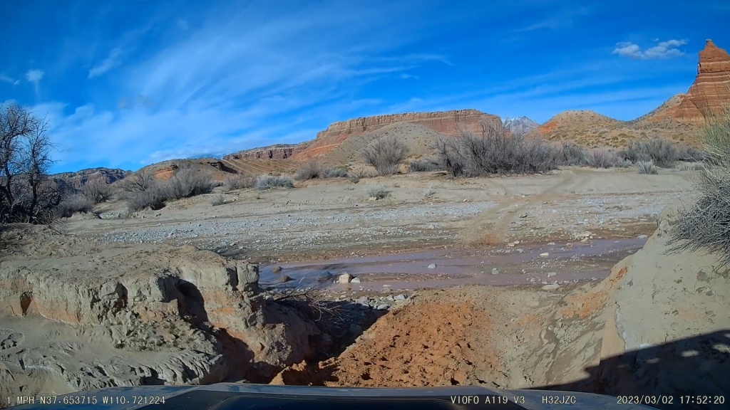
The arch being the last point of interest for the day, we continued on Lower San Rafael Desert Road. The road was gaining elevation and snow was starting to show up on the sides of the road. The nature of the road has suddenly changed to become the dreaded slush. The truck left trenches of about 5 to 8 cm and we advanced with difficulty, zigzagging. We reached a place at the bottom of a long slope that it would probably be impossible for us to climb (a little difficult to see on the following photo taken by the traffic camera with the sun straight ahead).

52718857955_750196675f_o.jpg


We then decided to retrace our steps, a detour of more than 120 km. While we were turning around on the road because no junction was visible, another vehicle arrived, the driver very surprised to see our vehicle across the slippery road. It was the very first vehicle we passed since leaving the I-70 freeway in the morning.

The driver, certainly a local rancher, told us that the difficult conditions were going to continue for several tens of kilometers, especially as the road continued its long ascent.

We finally reached UT24 and then Hanksville around 8:15 p.m., very relieved.

No precipitation is expected in the region for the next few days. The sun, wind, and little snow near Hanksville should allow us to explore other places without the pitfalls of the Lower San Rafael Desert Road.

Distance by vehicle: 359 km
Hiking distance: 8.1 km
 
Awesome pictures, thanks for posting! Yeah, the Ten Mile area can get very bad in mud conditions due to the bentonite.

I have not done that San Rafeal road, I need to check it out!
 
Day 17:

Start point: Hanksville UT
End point: Hanksville UT

Distance driven: 277 km
Distance hiked: 1.2 km


Good news! A after mentioning the internet problems to the hotel reception, they reset the router and everything is working fine so far.

Although our room is very comfortable, the strong winds during last night prevented us from having a good night's sleep. When we got up this morning, a thin layer of snow was waiting for us but it was starting to melt under the shy sun.

Our first destination of the day was Ranger Field Station in Hanksville to check on the condition of the roads we had planned to travel. Some of them are currently closed because they are impassable. We will see in due time.

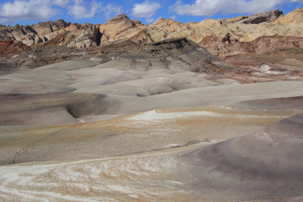
In order to rest one of my wife's knees, which is complaining a little, we have limited our hiking distance today. We headed west as the sky was much clearer. We crossed the Caineville Badlands region and are very lunar scenery.

52719036493_7230895719_o.jpg


52718026562_de3ccf7714_o.jpg


Then, we took the Notom-Bullfrog Scenic Byway to admire the Waterpocket Fold of Capitol Reef National Park covered in snow because the precipitation had been more important there than in Hanksville. The road is partially open because it is impassable further south.

52718812959_c5d1bf1905_o.jpg


52719036613_904aa79e51_o.jpg


After a quick meal in Torrey UT, we went to walk part of the Scenic Road of Capitol Reef NP, the southern portion being also closed.

52718543681_389208a6d2_o.jpg


52718543666_8316928565_o.jpg


52718812899_9d529079ca_o.jpg


Coming back toward Hanksville, we decided to try an off-road track in Lower Blue Flats that we had planned, but which we very much doubted we would be able to cover, due to the nature of the clay soil. To our surprise, it was just dry enough to go. Along it, gloomy monoliths rise skyward; the first Angel of Death and the second Long Dong Silver.

52718026482_245a68fb3d_o.jpg


52718026472_8440094867_o.jpg


Encouraged by the success of this off-road track, we headed to Cow Dunk Road, another off-road track leading to, among other things, NASA Mars Research Center in an area with pretty bentonite hills.

52718026462_b39d4a483d_o.jpg


52718812849_5a35854574_o.jpg


52718812844_6d5fd0cda7_o.jpg


Further north on the road, the terrain is much more eroded and the hills give way to vast expanses of desert.

52718543531_500e04c2dc_o.jpg


52718543521_cc614e76c2_o.jpg


Tomorrow, the weather forecast is contradictory between that of my favorite website and that given by the Rangers of Capitol Reef NP. We should go further south to a lower elevation.
 
Awesome pictures, thanks for posting! Yeah, the Ten Mile area can get very bad in mud conditions due to the bentonite.

I have not done that San Rafeal road, I need to check it out!

I was surprized by the good quality of the Lower San Rafael Desert Road, at least between Gilis Ranch Road and the road toward Colonnade Arch. In dry condition, the rating is a 1 over ten. Yesterday, the last portion was undrivable. Video from my traffic cam showed the truck was oscillating from left to right continuously. Very nerves wrecking!
 
Day 18:

Start point: Hanksville UT
End point: Hanksville UT

Distance driven: 437 km
Distance hiked: 0.75 km


Yep, that's a bummer... We would have done without it... Quite different from what we are used to see...

52720879590_d576a1105b_o.jpg


Being aware that the weather forecast announced snowfall, we decided to descend in altitude. Our only real choice was to take the UT95, designated Bicentennial Highway Scenic Byway, and reach the Hite UT region in the Glen Canyon National Recreation Area. As expected, the temperature rose above freezing. The sun even made timid appearances and the snow disappeared.

The Hite Crossing Bridge spanning the Colorado River, well framed. This road is spectacular at every turn. We are still amazed by the beauty of this road, even if we have driven it nearly ten times.

52720457486_60010e8f26_o.jpg


The Dirty Devil River, flowing toward the Colorado River.

52720726819_ea295445f0_o.jpg


Still on UT95, south of the Hite Crossing Bridge, partially visible in the following picture.

52719941502_bb6e3efc20_o.jpg


On the way back, we took advantage of a work zone on the Hite Crossing Bridge with a closed traffic lane and the absence of workers to walk on it (there is no sidewalk on the bridge). Visible in the following photo, the Colorado River and UT95 going northwest, where the framed photo of the bridge was taken.

52720726804_7a18d0fe9f_o.jpg


Then we took the UT276 to Bullfrog UT. In our failing memory, the road descended towards Bullfrog. We had forgotten the high mountain passes.

52720945463_fe92ff0a4f_o.jpg


Arrived at Bullfrog UT, we saw the access ramps to the water of Lake Powell whose level has been in decline for several years and is currently at a critical level. Winter precipitation should help recover a bit. The following photo is the access ramp for the Bullfrog-Halls Crossing ferry. Obviously, it has not been in operation for a few years.

52720945448_ff3dde092c_o.jpg


On the UT276 returning to Hanksville UT, we had to cross the mountain passes again.

52720457396_15458c3a4a_o.jpg


Farther up UT95 near Hanksville, the scenery wasn't much happier. But how magical!

52720945388_27c5e57f92_o.jpg


It was a full day on paved roads. Tomorrow and the next few days, the weather should be more and more clement. As the off-road tracks may take at least a day to dry out a bit, it is very likely that we will still be confined to the paved roads tomorrow.
 
Day 19:

Start point: Hanksville UT
End point: Hanksville UT

Distance driven: 275 km
Distance hiked: 2.1 km


We finally woke up with clear skies. We had a wonderful day exploring near Ticaboo a little south of Hanksville. That feels good!
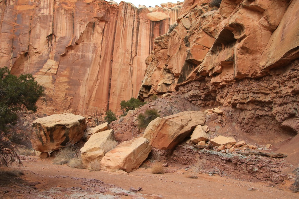
We drove the Ticaboo Mesa Loop Road, traveling on a sandy plateau on the edge of the snow-capped mountains and the canyon carved by the Colorado River.

52721920582_3f2594e8a6_o.jpg


52722857850_b52dea979a_o.jpg


Several auxiliary roads on the loop connect to viewpoints towards the Colorado River Canyon.

52722450086_215d496be0_o.jpg


52722929728_98187d47d9_o.jpg


In its southern portion, the route of the loop joins an area with mounds covered with sand.

52722857815_4ab080a412_o.jpg


We tried to climb the long slope but without success, the sand not offering enough traction. The sand was wet but not compacted. Rather than damaging the track even more, we decided to turn back and took a bypass that Nancy found.

52722709379_f2df07f1a1_o.jpg


Continuing the loop, the road climbs in height and crosses some rocky areas.

52721920527_6e5c35d5c8_o.jpg


Here the road winds over the ridges of the hills and becomes very spectacular, and at times a bit intimidating.

52722929713_ce85b42668_o.jpg


The view at the end of this secondary road is really superb, overlooking a succession of meanders dug by the water.

52721920512_6a65d3d880_o.jpg


We then reached the UT276, without having crossed any other vehicle; we had Ticaboo Mesa Road to ourselves for the whole day!

We crossed several places where the floating houses normally afloat on Lake Powell are stored. The level of the lake being so low that the access ramps are unusable, as seen yesterday.

52721920507_735f8fea04_o.jpg


As we still had a little time left, we drove the Hansen Creek Road flowing through a spectacular canyon. The road crosses the stream containing some water. The bottom of the stream and composed of rocks and sand, facilitating the crossing.

52722450051_8013e37df9_o.jpg


52721920457_bb47f0b820_o.jpg


The day's sun having melted much of the snow on the southern flanks of Mount Ellsworth, revealing its true colors as the sun set.

52722450026_21da9de313_o.jpg


Tomorrow, we will continue exploring and probably hiking other off-road tracks, as conditions improve.
 
I mean, it is one thing to know the water level at Lake Powell in theory, but quite another to see the ferry pictures. Depressing. Glad I have had that experience, of crossing on the ferry, with the kids.
 
I mean, it is one thing to know the water level at Lake Powell in theory, but quite another to see the ferry pictures. Depressing. Glad I have had that experience, of crossing on the ferry, with the kids.

We had a few opportunities to use the ferry in the past, but we never took one of them. I hope the water level rise enough for it to resume its operation one day.
 
Day 20:

Start point: Hanksville UT
End point: Hanksville UT

Distance driven: 435 km
Distance hiked: 1.5 km


We had another great day exploring the area near Ticaboo UT, experimenting with some clay and fears, then being in awe with other amazing scenery. We revisited some known places with exceptionnal views. So, another great day!

When we left Hanksville, there was a lot of clouds, but there seem to be less in the southern direction. This inspired us to go again near Ticaboo.

One of the off-road tracks that we wanted to explore starts on the Burr Trail Scenic Backway. When we arrived in Hanksville, we learned that the northern part was closed. We hoped today that the southern section was passable.

The southern part of the Burr Trail SB in Glen Canyon National Recreation Area is now fully paved, but crosses an important wash that can make it impassable. We managed to cross it without problem. Subsequently, the road gains in elevation and offers a striking view of Bullfrog Canyon.

52724858523_372a37dc0f_o.jpg


52723858307_e891de5283_o.jpg


Further on the Burr Trail SB, we reached the southern end of Big Thompson Mesa Road. As we had never traveled before, the opportunity was perfect. Apart from a few slightly damp zones, we reached the superb point of view of Halls Creek Overlook. The 180 degree view of the Waterpocket Fold is really incredible.

52724468981_408671a69f_o.jpg


52723858392_5d0402e4fb_o.jpg


After the point of view, we continued north on Big Thompson Mesa Road, to hope to join the Burr Trail SB. This segment is much more frequented and shorter than the southern portion that we have just traveled. Unfortunately, about a kilometer from the end, a descending section located to the north side of a hill and crossing an area of black bentonite was a very dangerous mud field given the crevices at the bottom of the slope. We opted for caution and once again turned around.

Back on the Burr Trail SB, we reached the southwest end of our day goal, the Eggnog-Starr Spring Road. We had only partially traveled this route during our trip from October 2016. We hoped to be able to complete it today.

This route offers striking panoramas on clay cliffs and Mount Pennell.

52724858493_727b6329a0_o.jpg


Further on, we joined Bullfrog Creek (the stream having dug Bullfrog Canyon seen earlier). In 2016, the presence of large rocks and the fact that the 4runner was not yet modified with armor forced us to turn around. But not today because the passage was really easy.

52724635974_4e65decd63_o.jpg


Well, our hopes of driving this road entirely got bogged down when we reached more clay and unfortunately still damp areas under a thin dry layer. At that time, a thick crust wicked around the wheels and pieces flew in the air on the back of the truck, with a disturbing sound. Guessing that the next step was going to be completely wet areas, we did ... and yes, you guessed it, turned around ...

Back on the Burr Trail SB, we continued north, a question of seeing if we could complete it. The landscapes were always more and more beautiful.

52723858332_8225e021bc_o.jpg


52724858438_edd8fdf885_o.jpg


After entering Capitol Reef National Park, the paved road gives way to a sandy road. After passing an area with several streams crossing , the Waterpocket Fold revealed itself to us in all its splendor.

52724381431_e621e84460_o.jpg


Unfortunately, the presence of melting snow quickly transformed the sandy road into a muddy surface. The inevitable was once again proved to be, we turned around, guessing that the road would always be closed further.

On the return, by crossing again a long muddy section, the truck began to slip to the right towards the deep ditch. I had no control over the direction. At one point, the truck began to slip from the back and we advanced a bit sideways. Then, miraculously, maybe because of a rock in the mud, the truck straightened up and I was able to regain control. Oufffffffffffff !!!

52724921178_66136c8a6b_o.jpg


We then resumed the UT276 to Hanksville. Although we had a lot of emotions, we decided to travel Sand Slide Loop Road near Hanksville, a sandy and above all dry road.

This route leads to several points of view on a region called Robbers Roost, a maze of canyons having served as a hideout for the famous gangsters Butch Cassidy and the Sundance Kid. In the coming days, we hope to be able to explore a part of this fairly little frequented region if the condition of the off-road tracks improve enough.

52724381411_fa14bcf9e5_o.jpg


52724381406_d24f5d4a7f_o.jpg


After a fast supper at the only restaurant open in Hanksville these days, and as there were still about an hour of clarity, we were walking near Factory Butte.

52723920317_ea0d9d952b_o.jpg


Tomorrow's weather forecasts calls for a mainly covered sky, but without precipitations. We will probably take the opportunity to hike in canyons.
 
Another set of fantastic pics! Factory Butte is among my favorite sights!

Halls Creek Overlook is amazing! We went there in a fully loaded stock Outback in 2013 and right at the viewing area I hit very hard on the way out. Thankfully, the hit was taken by one of the main beams. That hit in the middle of nowhere with a 2 year old got me going on the mod road which has not yet ended.

Or has it? I have done no mods in like a year :eek:
 
Day 21:

Start point: Hanksville UT
End point: Hanksville UT

Distance driven: 224 km
Distance hiked: 14.2 km (estimated)


The weather forecast proved accurate as we woke up to completely overcast skies and a temperature near freezing, but luckily with very light winds. We took the opportunity to hike in the canyons of Capitol Reef National Park, a cloudy sky being ideal for photographing such places by the absence of shade.

Our first hike was the Grand Wash, a deep canyon famous for its impressive flash floods, like the one that occurred on June 24, 2022 (see the videos on YouTube). As no precipitation was expected today, no danger for us. This is a very easy 7.4 km return trail, popular for families with young children. We had partially hiked it on a trip in March 2013.

52726881738_446d8b8257_o.jpg


The star of the hike is without a doubt The Narrows, a place where the canyon becomes very narrow, bordered by very high cliffs. Nancy or I can be seen on the trail in the distance in the following photos.

52726815395_42d8f1c3e0_o.jpg


52726815370_8ed145cc41_o.jpg


After returning to the vehicle, we went to Torrey for a light meal and to rest a little by driving a little here and there.

In the afternoon, we wanted to do another hike, a bit shorter though. We headed up Chimney Rock Trail to see the greenish rock hills. We continued up the switchbacks to get a better view. At this point, we decided to continue in Chimney Rock Canyon because the rock formations were inviting and the trail was slightly downhill and very easy. The sun broke through the clouds on occasion.

52725879767_4438b7d156_o.jpg


Encouraged by the ease of the trail, we continued even further towards Spring Canyon. At a certain moment, we arrived at the foot of an immense vertical wall with long black marks.

52726401211_1eed0de510_o.jpg


52726886343_8d6e594d23_o.jpg


A little further, we reached a place whose ground was composed of a layer of greenish rocks. The place was very beautiful and we decided that was our turn around point as we had already walked quite a distance this morning in Grand Wash. After consulting our GPS track, we did not reach the intersection with Spring Canyon, the satellite signals certainly bouncing off the walls of the deep canyon, giving an erroneous position and distance traveled.

52725879742_7096a0b95f_o.jpg


On the way back to the trailhead, the sky cleared completely in just a few minutes. We took full advantage of it to warm up a little and admire the landscape even more beautiful than under the clouds, the colors becoming sparkling.

52726401186_b244e7161f_o.jpg


52726815315_c02222f87a_o.jpg


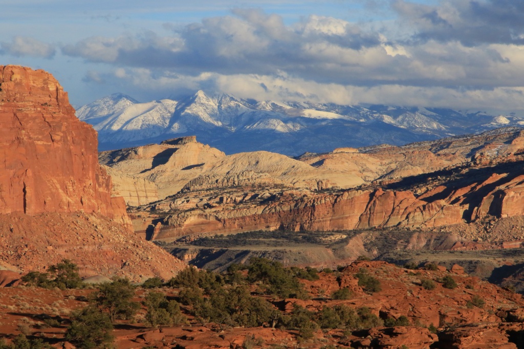
Back in the vehicle, we made a short stop at Panorama Point, as the snow-covered Mt. Henrys contrasted with the colors of the Waterpocket Fold peaks.

52726658389_22f3eb54a1_o.jpg


Further, we saw The Castle, located on the top of the cliff, with the moon showing the end of its nose. Wow!

52725879677_0057270254_o.jpg


Tomorrow, weather permitting, we'll go through a region that we've already visited in October 2016, and which is simply brilliant under good sunshine conditions, but also with good traffic. Hopefully we won't be stuck in mud yet.
 
Another set of fantastic pics! Factory Butte is among my favorite sights!

Halls Creek Overlook is amazing! We went there in a fully loaded stock Outback in 2013 and right at the viewing area I hit very hard on the way out. Thankfully, the hit was taken by one of the main beams. That hit in the middle of nowhere with a 2 year old got me going on the mod road which has not yet ended.

Or has it? I have done no mods in like a year :eek:

Factory Butte, Hals Creek Overlook, and so many other fantastic points in this region. Even today, in Chimney Rock Canyon, everything looked amazing. Nature has an infinite creativity. To us to protect it for future generations, and respect it by applying Leave No Trace, and Thread Lightly concepts.
 
Day 22:

Start point: Hanksville UT
End point: Hanksville UT

Distance driven: 128 km
Distance hiked: 12.3 km


We spent the day exploring the San Rafael Swell, the extension of the Waterpocket Fold of Capitol Reef NP, so named in the area. This fold in the earth's crust is very photogenic and offers countless hiking opportunities. We did two hikes of our own, and rode a segment of Wild Horse Canyon Road that we hadn't done yet.

To get to our first destination, we took the paved road to Goblin Valley State Park before taking Wild Horse Canyon Road, which is partially paved at the start. Extremely rare, a group of Pronghorn antelope was immediately on the side of the road and stood still as we passed very slowly.

52729007825_dfee457e51_o.jpg


Continuing on Wild Horse Canyon Road, we reached the trailhead of Ding and Dang Canyons. Our first goal was to hike the beginning of this trail before leaving it and going off-trail up a series of hills with an intimate view with the reddish triangles of a partially eroded layer of the San Rafael Swell. We have wanted to hike this hike for many years already. It is a creation of Nancy inspired by Google Earth.

52728070667_356aa98fa6_o.jpg


At the end, the progression was somewhat complicated by the marked inclination of the rock layers. The view was definitely worth it.

52729007790_8d2213b10d_o.jpg


52729076503_b18315d0d3_o.jpg


Continuing on Wild Horse Canyon Road, the road crosses large expanses of very colorful bentonite hills, probably rendered impassable during the last few days because of the previous precipitation.

52728595646_a75d43b827_o.jpg


We then moved on to our second destination of the day, another Nancy-created off-trail hike, located on Hunt Draw Mesa in Muddy Creek Wilderness. This hike initially runs in a dry stream between generally reddish bentonite hills.

52728595626_65eab62284_o.jpg


52728070587_fed83952a5_o.jpg


After about half of the way, we climbed back up to reach the top of a plateau in the center of the bentonite hills, which should offer a bird's eye view of them.

52729007705_af2abcca06_o.jpg


52728911754_59996d5c2d_o.jpg


For those worried about our footsteps in the landscape, as bentonite has a ball-like consistency of dried mud, these will wash out with the next significant rainfall. This hike is in a protected territory, a Wilderness, and available to hikers only. The concept "Leave only steps, and bring back memories in photos" applies.

By the top of Hunt Mesa, the clouds were much more frequent.

52728595581_f063b44d6c_o.jpg


52729007685_53d986e394_o.jpg


We had some difficulty descending from Hunt Mesa to reach our vehicle. The route we had planned was impracticable due to the presence of a dry fall several meters high, not visible with Google Earth. We tried several alternative routes before finding one without impassable and safe obstacle. The original 6 km route turned into just over 9 km. We had plenty of daylight to find this alternate route.

Back in the vehicle, we continued on Wild Horse Canyon Road to join the crossing of Muddy Creek. This is sometimes impossible given the excessive flow.

52728595551_3504e26952_o.jpg


Today, the low flow and fresh tracks from other vehicles encouraged us to proceed; child's play, not even a little emotion. This was a first for us, and a much quicker way to get back to Hanksville via Factory Bench Road.

As we have been on very long hikes for the past two days, it is very likely that we will explore by vehicle instead tomorrow.
 
Last edited:

Members online

Forum statistics

Threads
278,310
Messages
3,554,080
Members
248,016
Latest member
Advally Service

Trending content

Back
Top