Wilson, tabletop seems to a good first day trip. Can you give me some info. on how to get to the trail? If you have coordinate I can use with my garmin navi that would better.
Thanks,
Lions Rock/Table Top Mountain:
Start: 47.335182, -120.580917 (Large gravel lot off of hwy 97)
Clean bathroom 1: 47.335182, -120.580917
Clean bathroom 2: 47.251535, -120.581397
End: 47.251267, -120.588730 (This is Lion's Rock. There are many signs up there that can direct you to different meadows full of wild flowers. Much of the drive consists of burnt up trees contrasted by beautiful flowers.)
47.255446, -120.573290 (This road will take you all the way back to Ellensburg if you want to go home a different route.)
Camp Spot 1: 47.300922, -120.574835 (This is where GSPRunner and I camped. It was the only spot without gale force winds, but also the only spot with mosquitoes. Much warmer and more enjoyable than Lion's Rock, where my wife and I camped the night prior.)
Camp Spot 2: 47.300922, -120.574835 (This was in a meadow. Nice place, but there was a guy with a 5th wheel when we were there.)
Camp Spot 3: 47.300922, -120.574835 (This was along the road to Ellensburg. Also occupied when we were there.)
Camp Spot 4: Wherever you stake your claim. Anywhere that looks/feels nice, put your tent down. You CAN camp by the 2 bathrooms, but I think you may have to pay.
Stampede Pass: In the order we experienced it...
Lunch: 47.276472, -121.299588 (Mountain High Burgers. The most delicious cheaply made burgers around.)
Start: 47.299240, -121.326648 (Right after Keechelus Lake on I90)
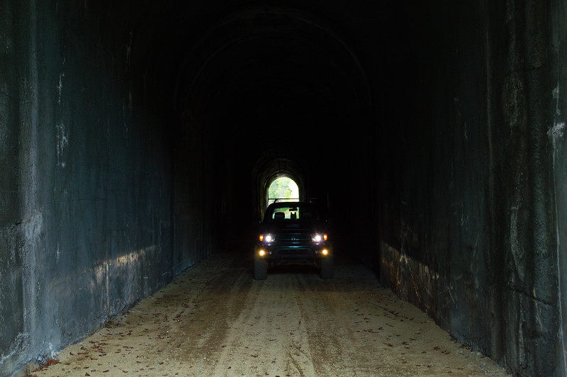
Tunnel: 47.276472, -121.299588
End: (There really isn't one that I have found... Head up FS-54 on Google and you'll see what I mean. Could easily spend 10-12 hours up there exploring.)