JohnTheLuck
Member
Day 23:
Start point: Hanksville UT
End point: Hanksville UT
Distance driven: 139 km
Distance hiked: 3.4 km
Wanting to rest our legs a bit. and having a little less energy due to a mild cold, we headed back to the San Rafael Swell to revisit the area near Salt Wash that we had explored in October 2016. Along Factory Bench Road, Factory Butte was glowing in the morning sun.

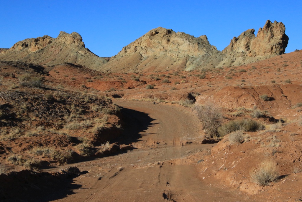
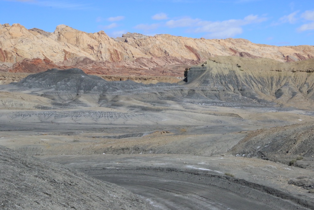
Salt Wash Road winds between the gray bentonite hills of Factory Bench and the San Rafael Swell fold.

Nancy had identified using Google Earth three very short hikes leading to promontories offering a bird's eye view of the colorful bentonite hills. At the start of the first, we noticed that the ground was covered with shards of shells. These would date back more than 80 million years.

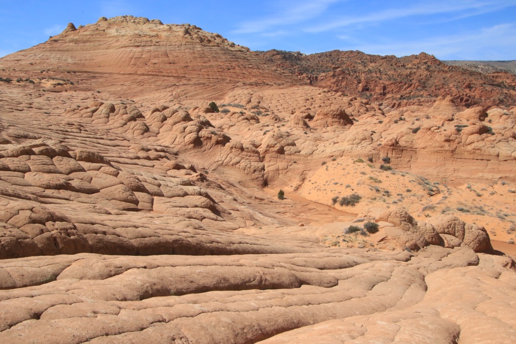
Our hike also passed through areas of bentonite. As mentioned yesterday, the texture is like popcorn, with the sun-dried top layer becoming cracked. The surface becomes smooth again during heavy rainfall, and the popcorn re-forms as it dries, erasing footprints.

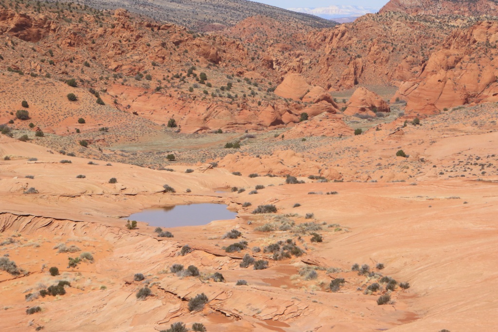
The view at the top was truly stunning.

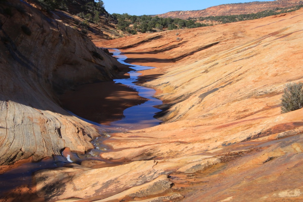
Further on, as the elevation of the road slowly approaches that of Salt Wash, the presence of salt is noticeable and the road becomes a little wetter.

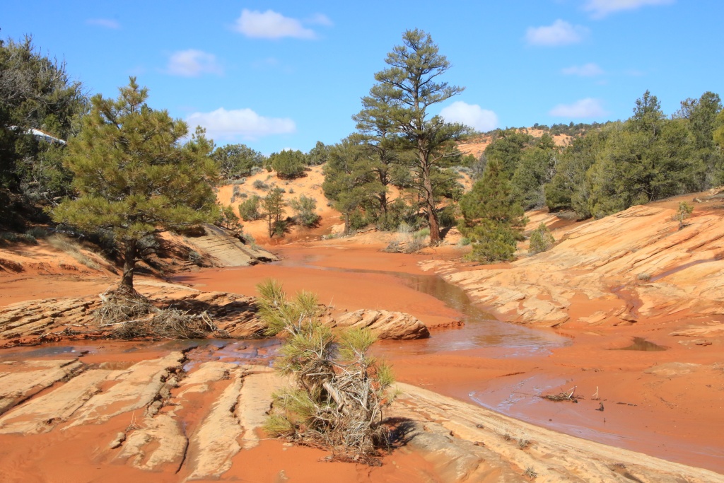
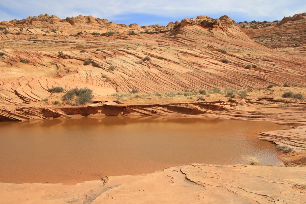
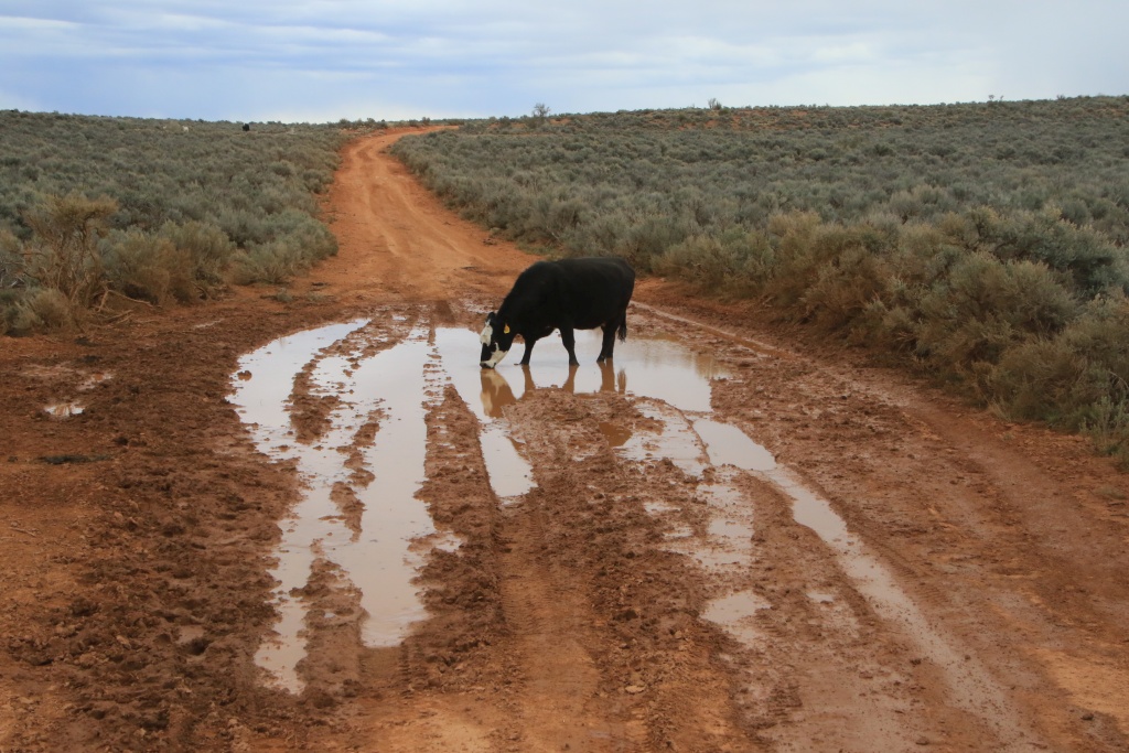
Having reached Salt Wash, we did not dare to cross it because the area immediately after the crossing was very muddy, since located near a cliff keeping it in the shade for part of the day. Anyway, this road ends in a dead-end. We wisely turned around. The crossing could wait for a next trip.
This road has some slopes which must be very dangerous if the ground is not dry enough. Luckily for us, that was not the case today.


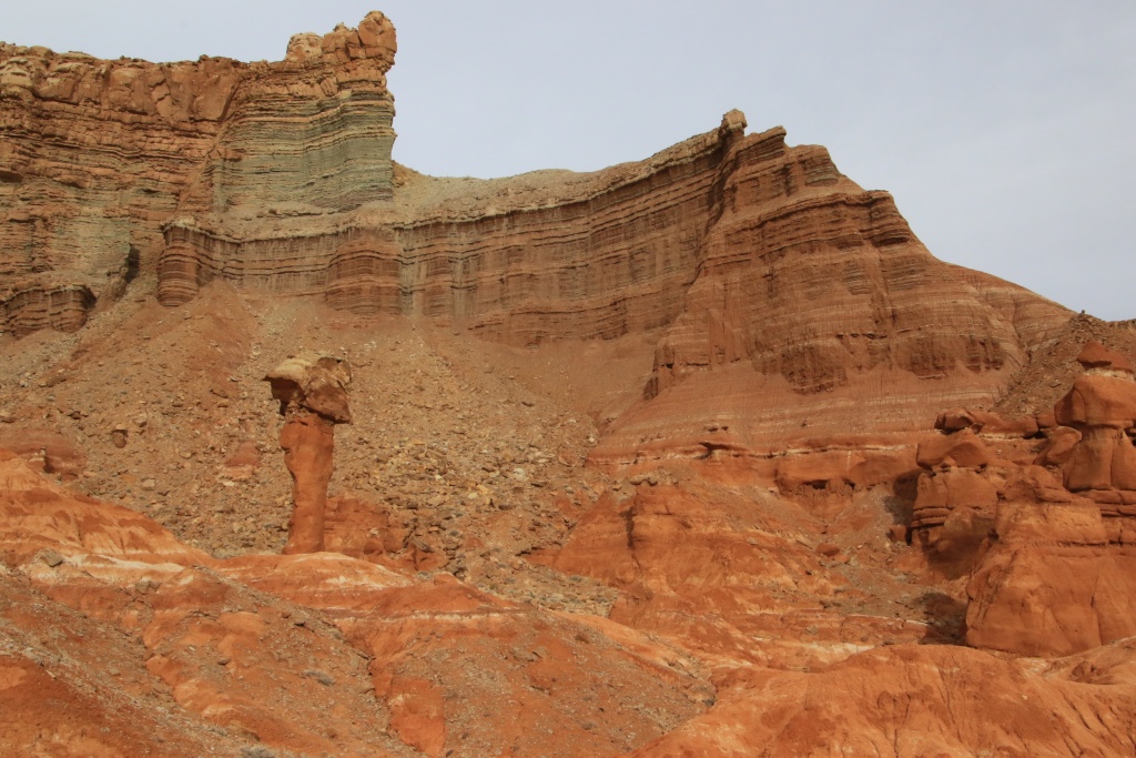
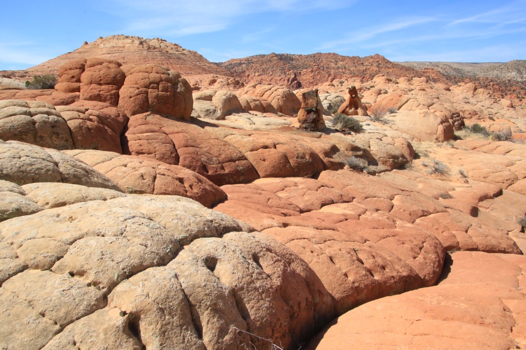
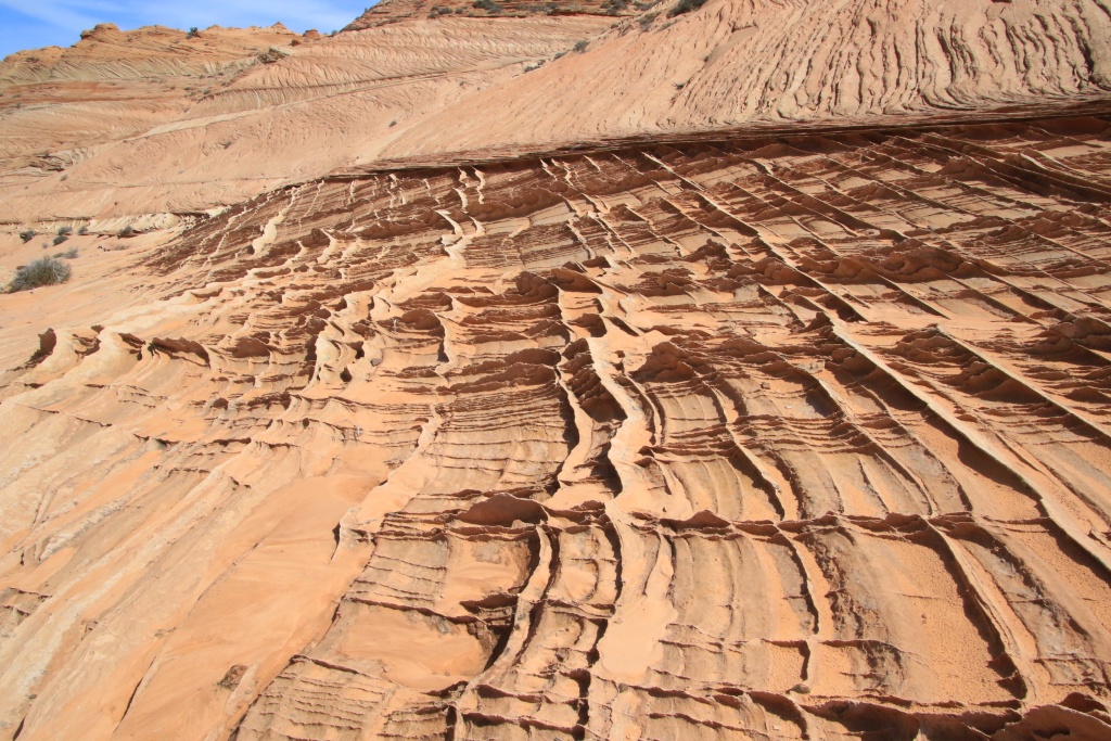
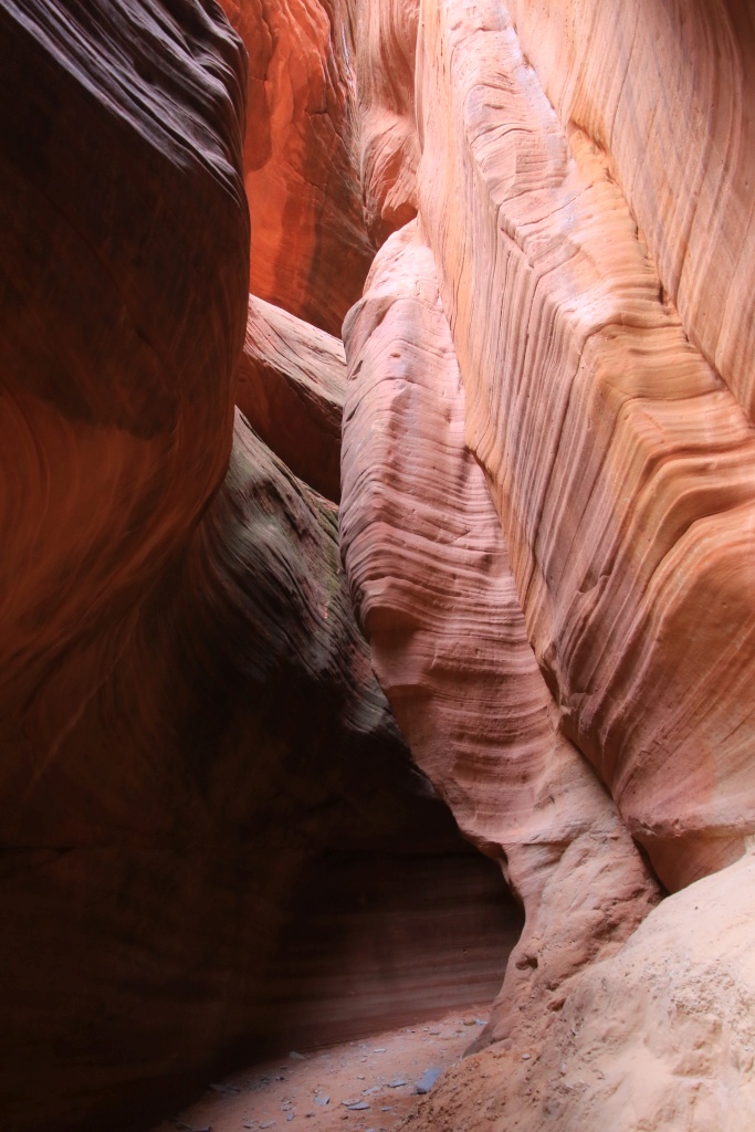
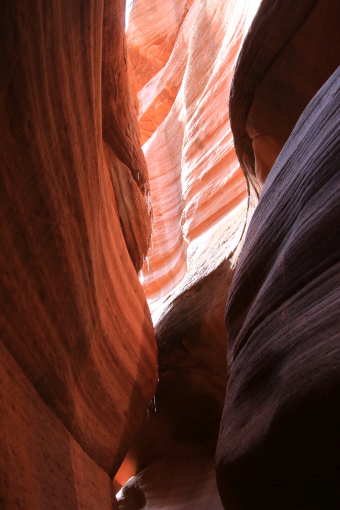
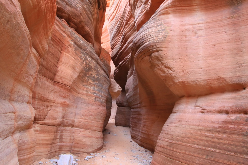
Then we came back a short distance on Factory Bench Road to explore on foot the dry Coal Mine Wash, an area that had been mined for coal in the 1930s. The water and the winds have sculpted strangely shaped monoliths there.


Then, we came back to the intersection with Salt Wash Road to continue north towards Muddy Creek, which we braved for a second consecutive day!

After completing Wild Horse Road, we went for a short section on Temple Mountain Road. Several sections located to the north were muddy with the presence of snow, having gained altitude.
A cloud layer at high altitudes has started to cast some shadow on the landscapes, making the colors look duller. As our supply of clean clothes is rapidly decreasing, we took the opportunity to do some laundry, in order to last a few more days.
Start point: Hanksville UT
End point: Hanksville UT
Distance driven: 139 km
Distance hiked: 3.4 km
Wanting to rest our legs a bit. and having a little less energy due to a mild cold, we headed back to the San Rafael Swell to revisit the area near Salt Wash that we had explored in October 2016. Along Factory Bench Road, Factory Butte was glowing in the morning sun.
Salt Wash Road winds between the gray bentonite hills of Factory Bench and the San Rafael Swell fold.
Nancy had identified using Google Earth three very short hikes leading to promontories offering a bird's eye view of the colorful bentonite hills. At the start of the first, we noticed that the ground was covered with shards of shells. These would date back more than 80 million years.
Our hike also passed through areas of bentonite. As mentioned yesterday, the texture is like popcorn, with the sun-dried top layer becoming cracked. The surface becomes smooth again during heavy rainfall, and the popcorn re-forms as it dries, erasing footprints.
The view at the top was truly stunning.
Further on, as the elevation of the road slowly approaches that of Salt Wash, the presence of salt is noticeable and the road becomes a little wetter.
Having reached Salt Wash, we did not dare to cross it because the area immediately after the crossing was very muddy, since located near a cliff keeping it in the shade for part of the day. Anyway, this road ends in a dead-end. We wisely turned around. The crossing could wait for a next trip.
This road has some slopes which must be very dangerous if the ground is not dry enough. Luckily for us, that was not the case today.
Then we came back a short distance on Factory Bench Road to explore on foot the dry Coal Mine Wash, an area that had been mined for coal in the 1930s. The water and the winds have sculpted strangely shaped monoliths there.
Then, we came back to the intersection with Salt Wash Road to continue north towards Muddy Creek, which we braved for a second consecutive day!
After completing Wild Horse Road, we went for a short section on Temple Mountain Road. Several sections located to the north were muddy with the presence of snow, having gained altitude.
A cloud layer at high altitudes has started to cast some shadow on the landscapes, making the colors look duller. As our supply of clean clothes is rapidly decreasing, we took the opportunity to do some laundry, in order to last a few more days.