JohnTheLuck
Member
Day 25:
Starting Point: Darby MT
End point: Salmon ID
Distance driven: 252 km
The rain that fell this morning encouraged us to continue our sleep longer than usual. These last few days have been quite long and the additional rest has been very beneficial.
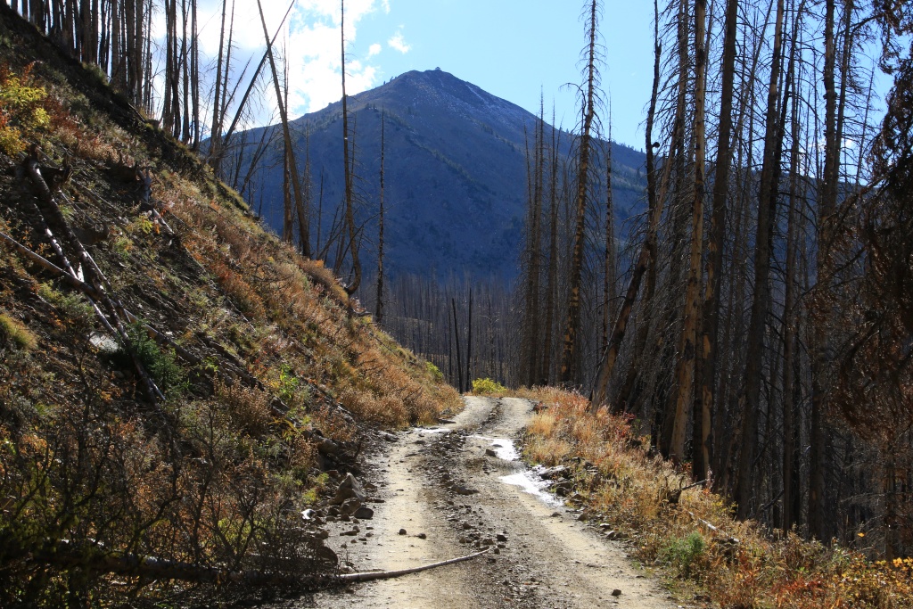
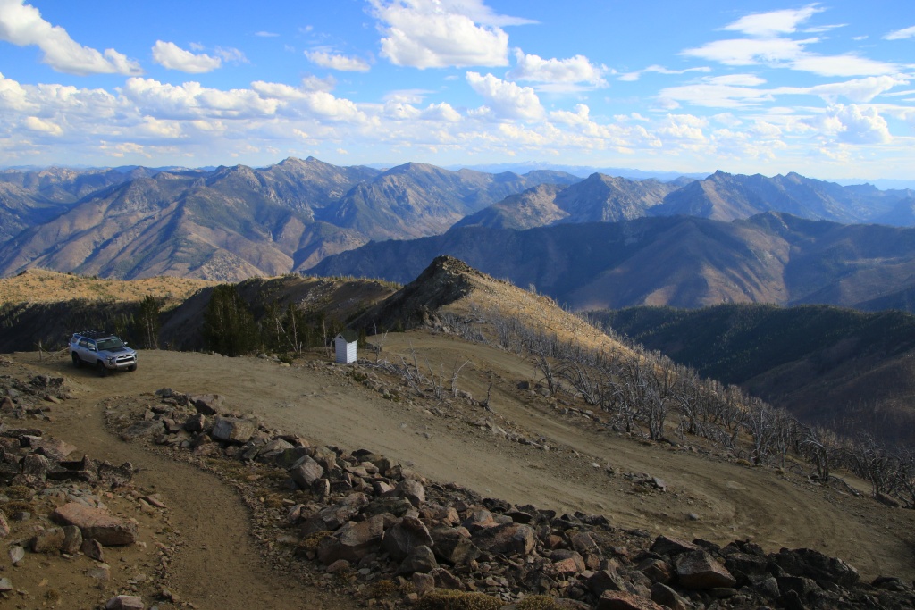
As we left Darby MT, the rain stopped. We had two forest roads on our route leading to viewpoints toward Trapper Peak, the highest peak in the Bitterroot Mountain Range at more than 3100 meters. The low clouds obscured even the tops of the nearby hills, so no hope of catching a glimpse of the summit. That will be for another time.
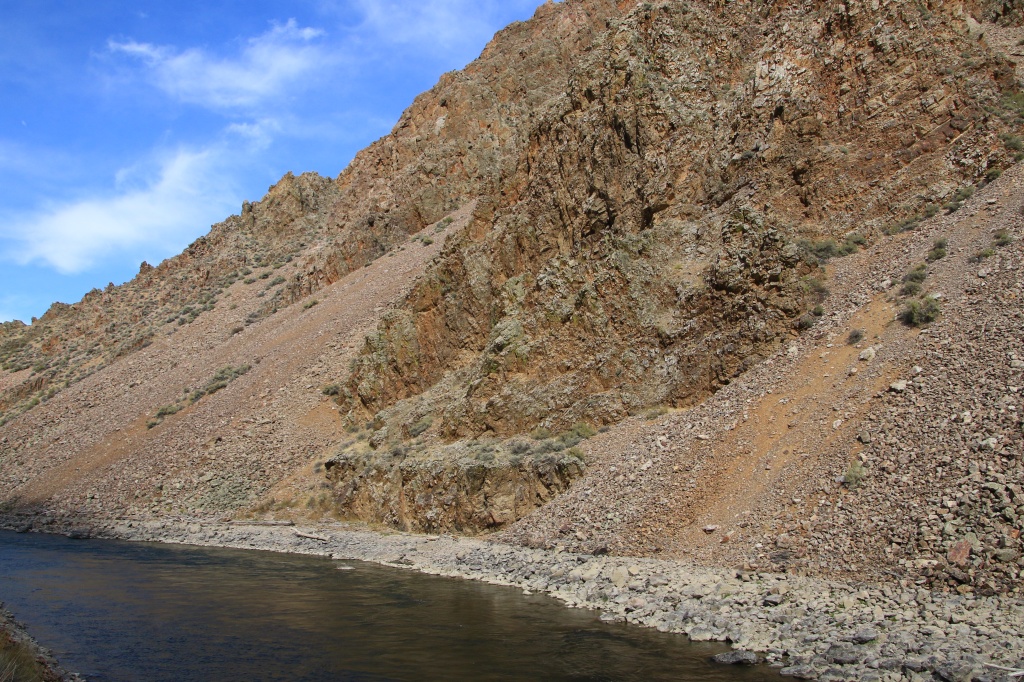
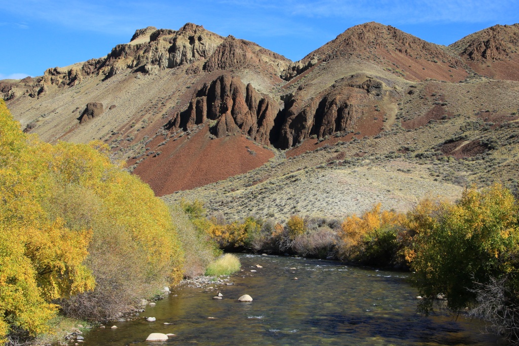
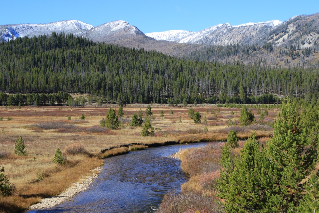
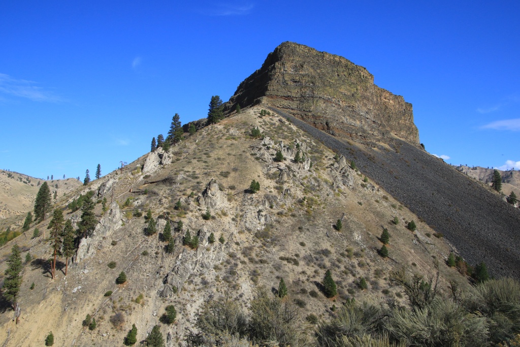
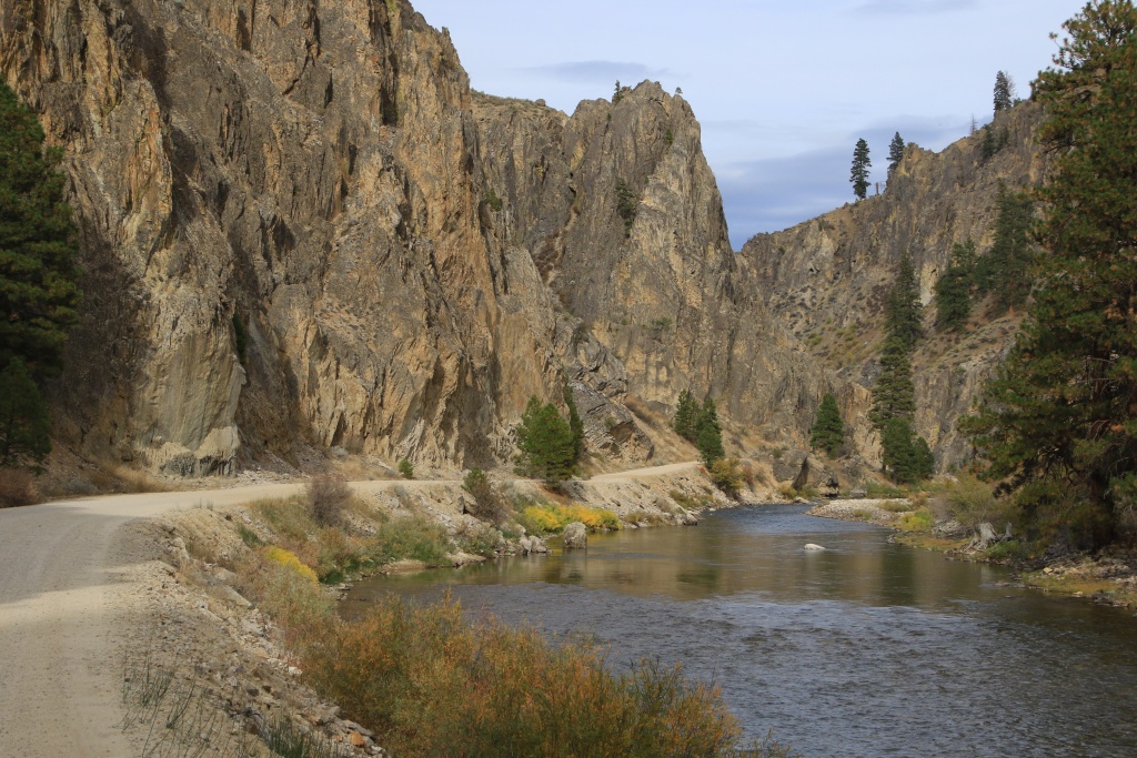
Continuing, we reached the Salmon River which we saw earlier in the trip.

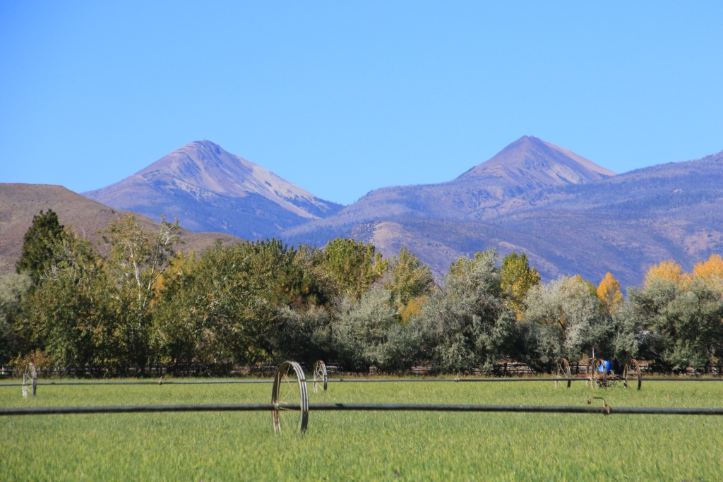
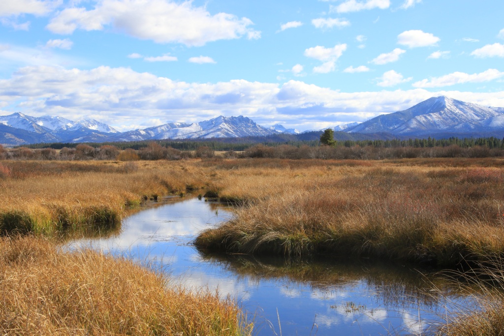
Continuing, we reached Idaho again then Salmon ID while the cloud layer had become much thinner and suggested some clearing. The Beaverhead Mountain Range of Montana loomed in the distance.

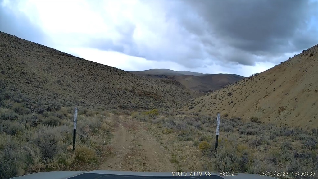
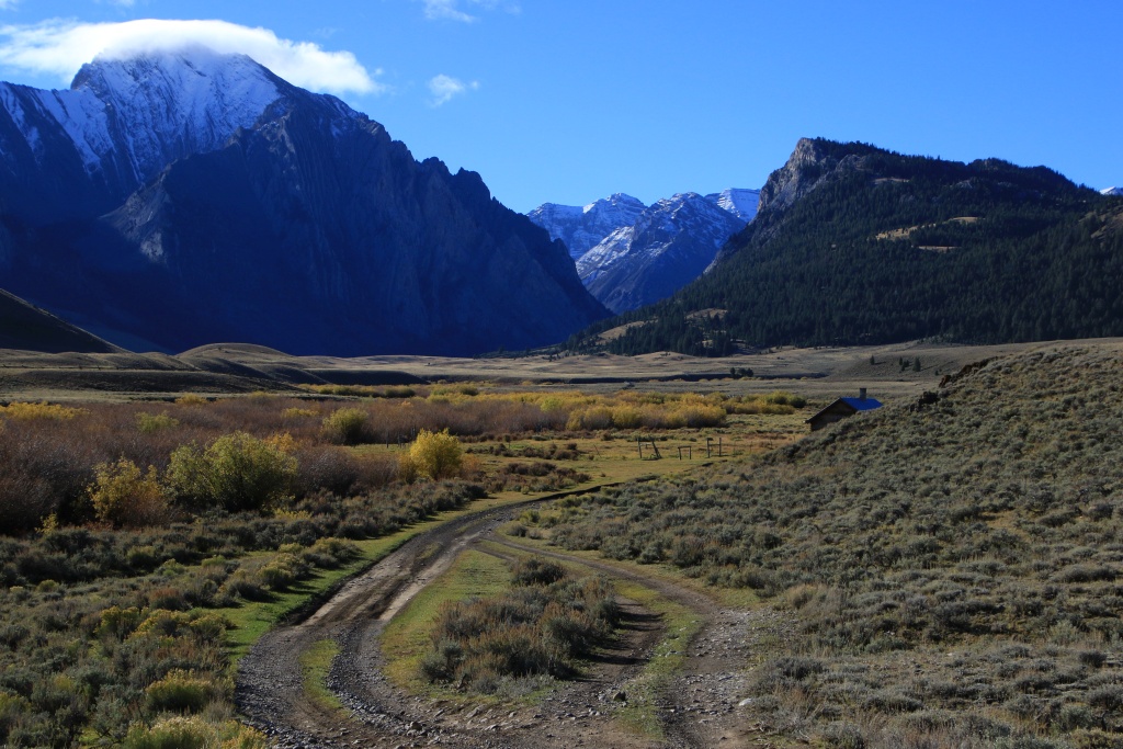
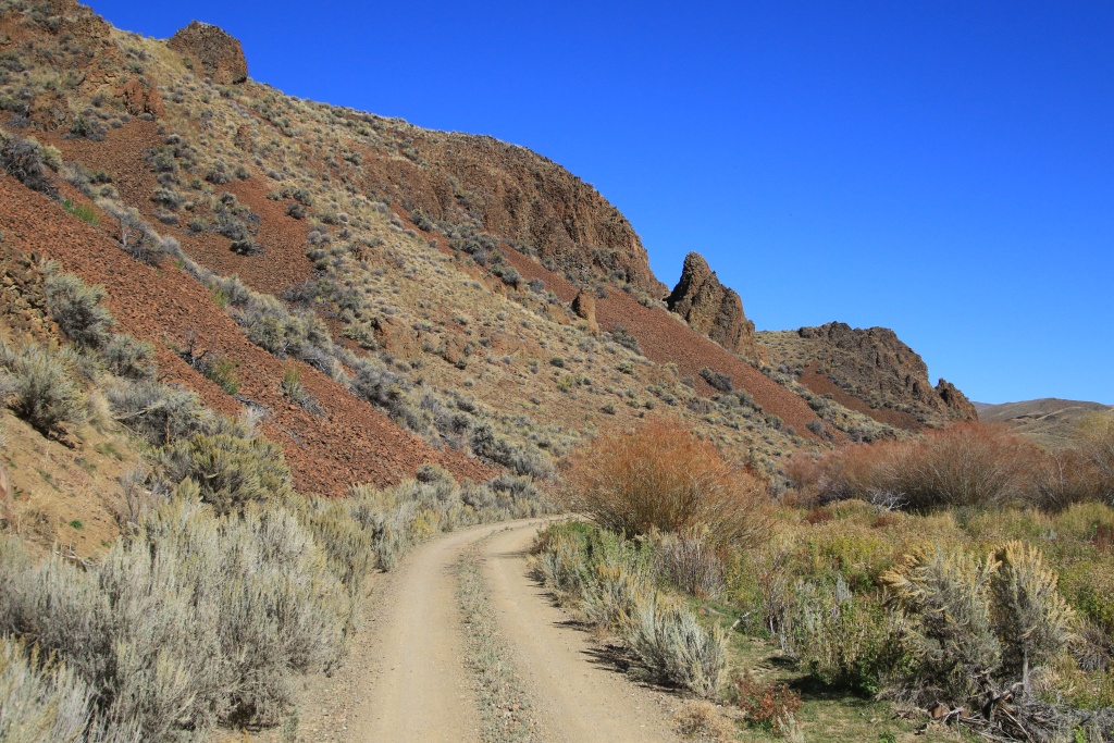
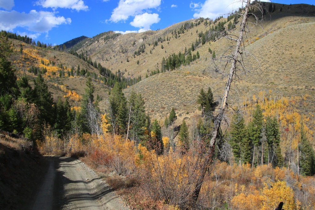
After dinner, we traveled the Lewis and Clark Backcountry Byway, a maintained gravel road running through the mountains to where the famous expedition entered present-day Idaho. Several information panels mentioned the highlights of the challenges they encountered. The route also offered beautiful views towards the Lemhi Mountains in the distance, sometimes reduced by light showers.


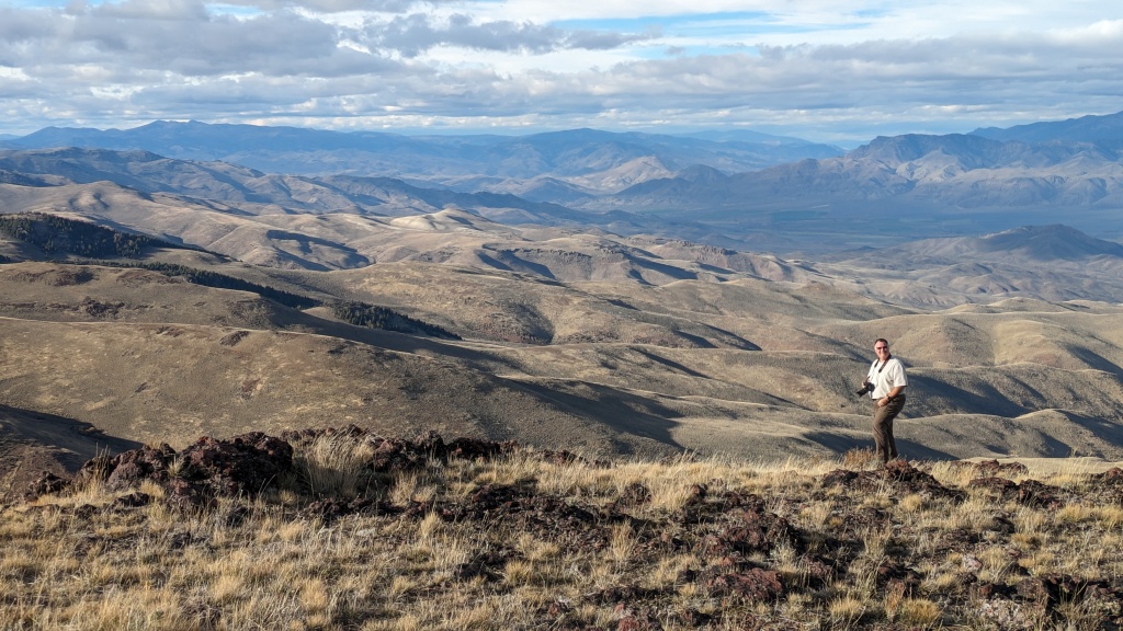
The view towards Montana was much clearer.

Arriving at Lemhi Pass, the place where the Lewis and Clark expedition set foot in August 1805, the loop continues by taking a much steeper and winding route.

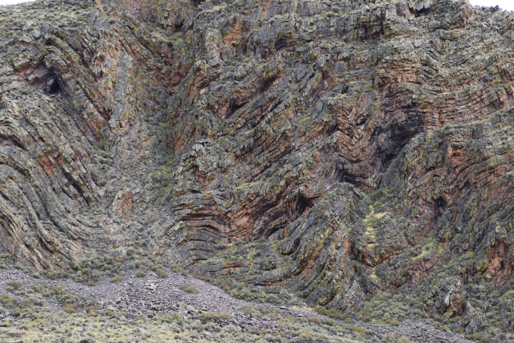
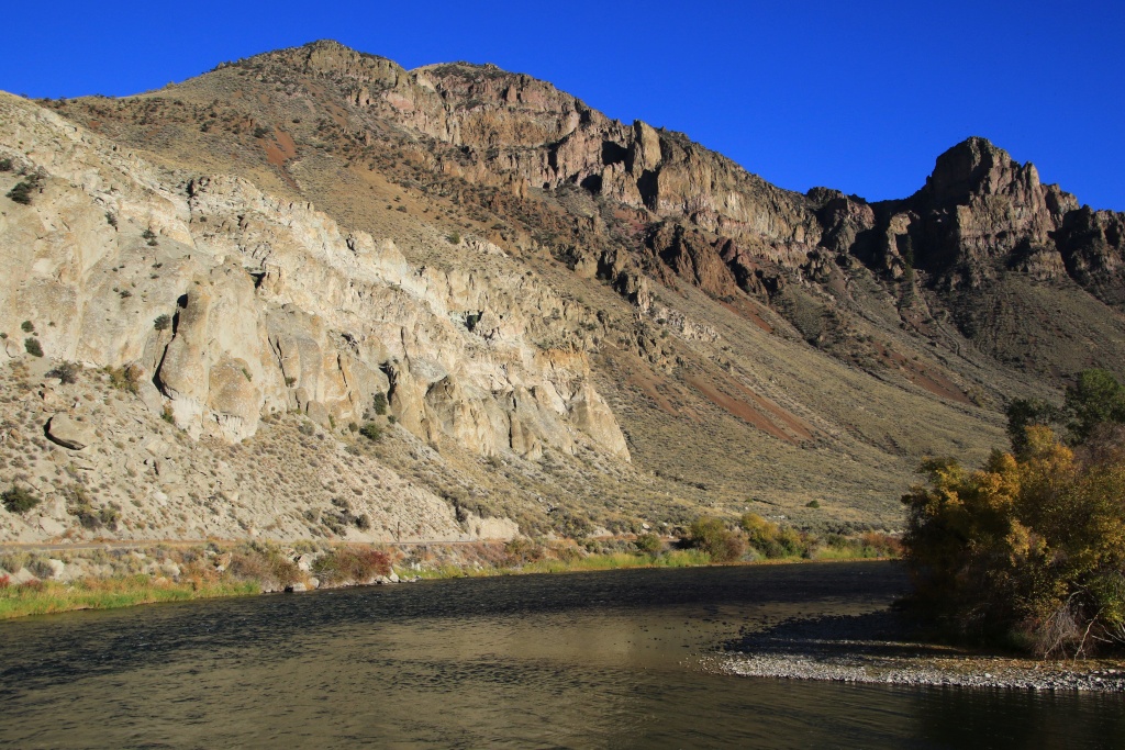
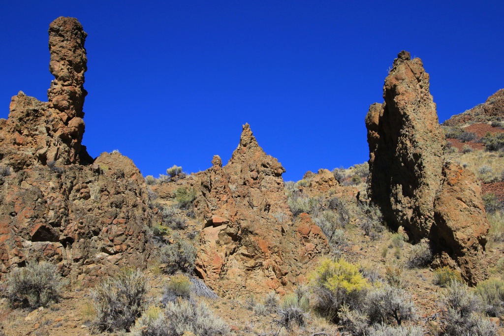
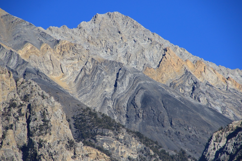
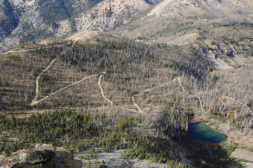
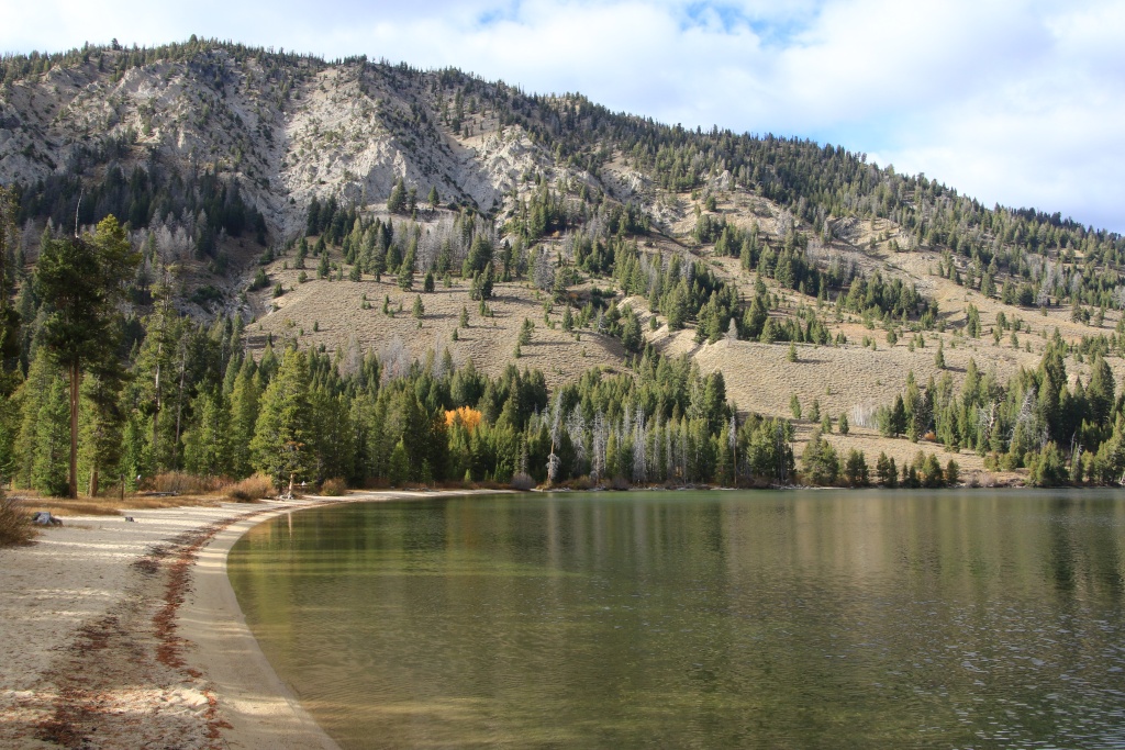
Continuing the steep descent, we noticed peculiar rock formations on the mountainsides. We quickly recognized dikes, intrusions of magma in cracks occurring in the depths of the earth's crust.


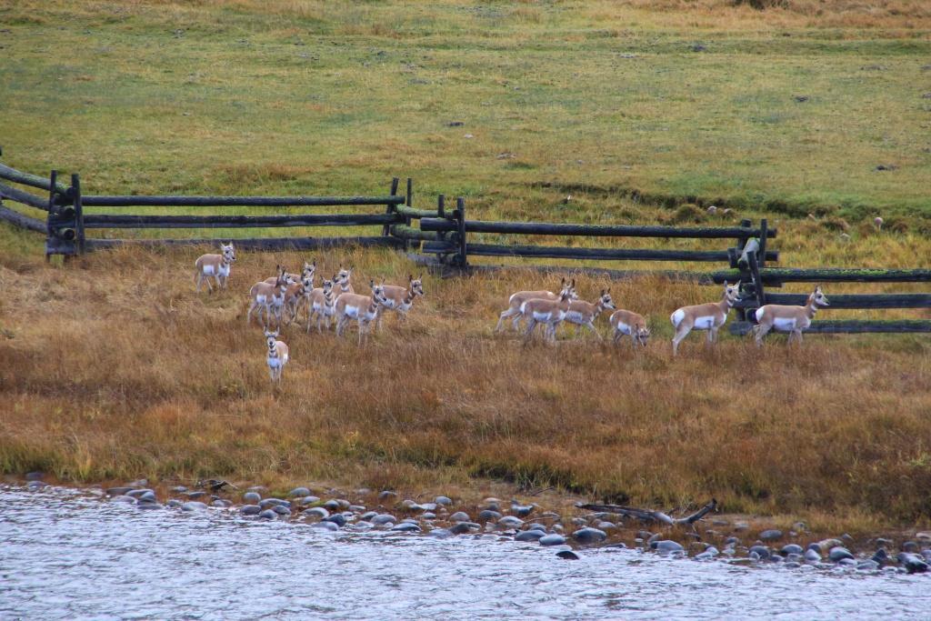
Towards the end of the road, when we had reached the valley, we came across a group of young Gambel quails (those we nicknamed glou-glou!) proudly posing on a fence, while its brothers and sisters had fled. in the bushes!

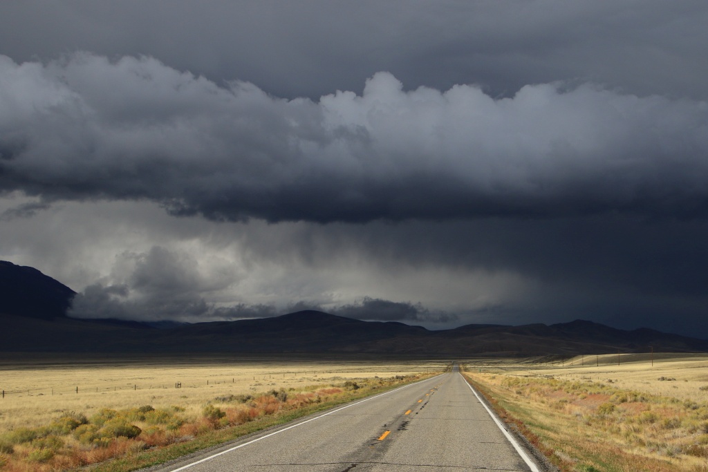
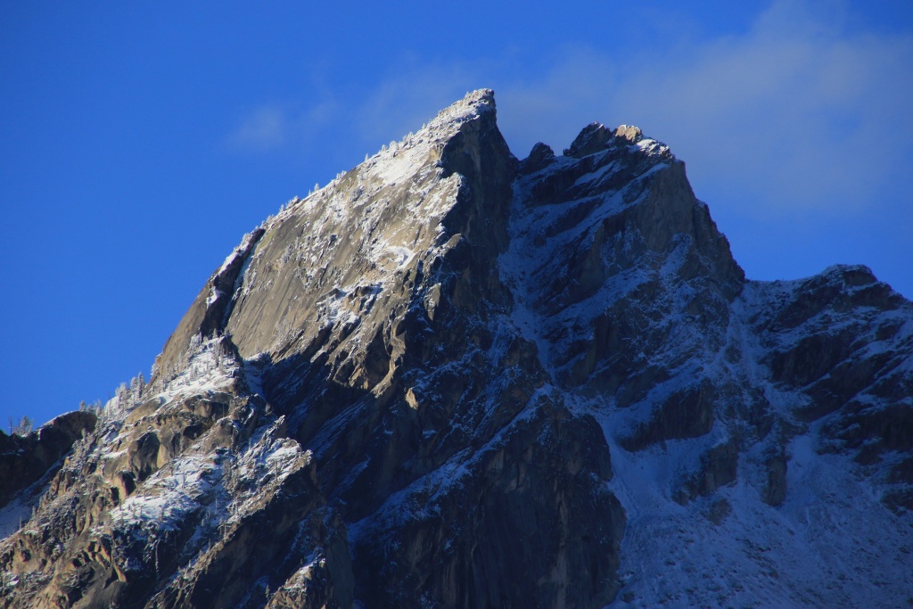
The weather is uncertain for the next few days and we will have to improvise as many of our planned activities were in the mountains. However, we noticed that the summits are starting to show some snow accumulations.
Starting Point: Darby MT
End point: Salmon ID
Distance driven: 252 km
The rain that fell this morning encouraged us to continue our sleep longer than usual. These last few days have been quite long and the additional rest has been very beneficial.
As we left Darby MT, the rain stopped. We had two forest roads on our route leading to viewpoints toward Trapper Peak, the highest peak in the Bitterroot Mountain Range at more than 3100 meters. The low clouds obscured even the tops of the nearby hills, so no hope of catching a glimpse of the summit. That will be for another time.
Continuing, we reached the Salmon River which we saw earlier in the trip.
Continuing, we reached Idaho again then Salmon ID while the cloud layer had become much thinner and suggested some clearing. The Beaverhead Mountain Range of Montana loomed in the distance.
After dinner, we traveled the Lewis and Clark Backcountry Byway, a maintained gravel road running through the mountains to where the famous expedition entered present-day Idaho. Several information panels mentioned the highlights of the challenges they encountered. The route also offered beautiful views towards the Lemhi Mountains in the distance, sometimes reduced by light showers.
The view towards Montana was much clearer.
Arriving at Lemhi Pass, the place where the Lewis and Clark expedition set foot in August 1805, the loop continues by taking a much steeper and winding route.
Continuing the steep descent, we noticed peculiar rock formations on the mountainsides. We quickly recognized dikes, intrusions of magma in cracks occurring in the depths of the earth's crust.
Towards the end of the road, when we had reached the valley, we came across a group of young Gambel quails (those we nicknamed glou-glou!) proudly posing on a fence, while its brothers and sisters had fled. in the bushes!
The weather is uncertain for the next few days and we will have to improvise as many of our planned activities were in the mountains. However, we noticed that the summits are starting to show some snow accumulations.
Last edited: