Unner
New member
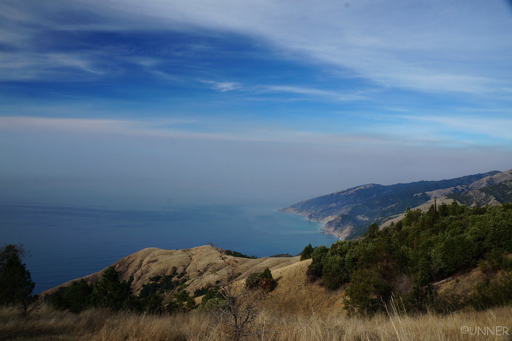
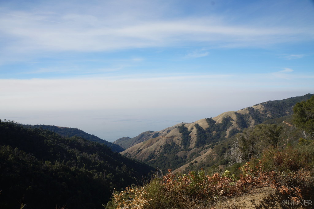
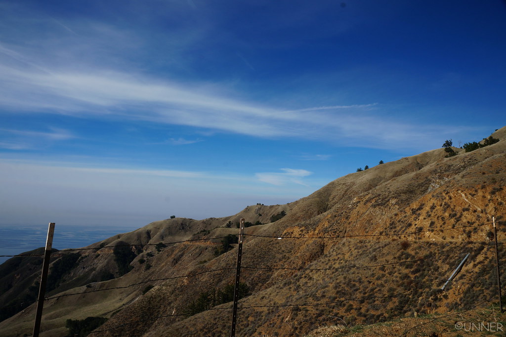
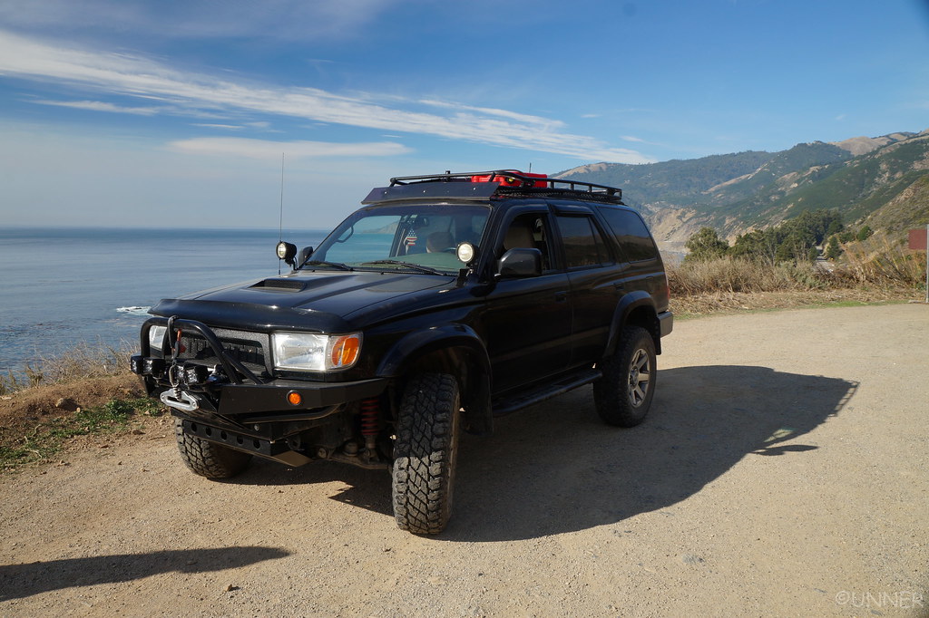
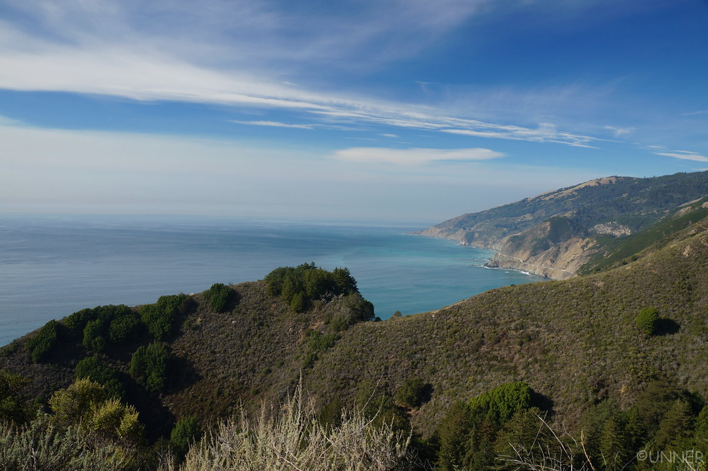
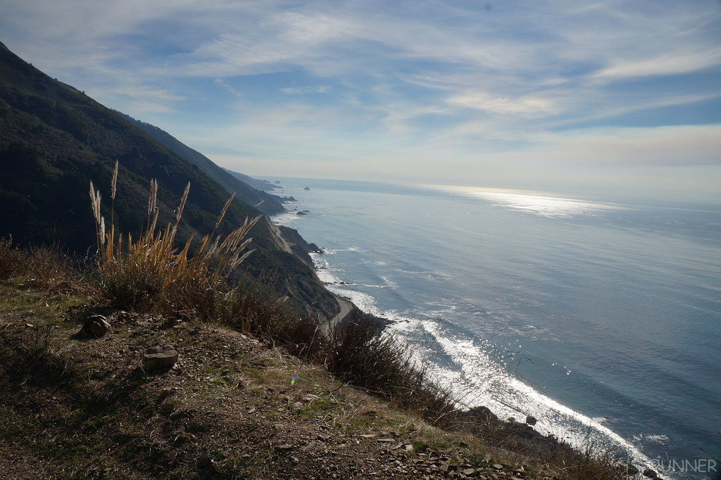
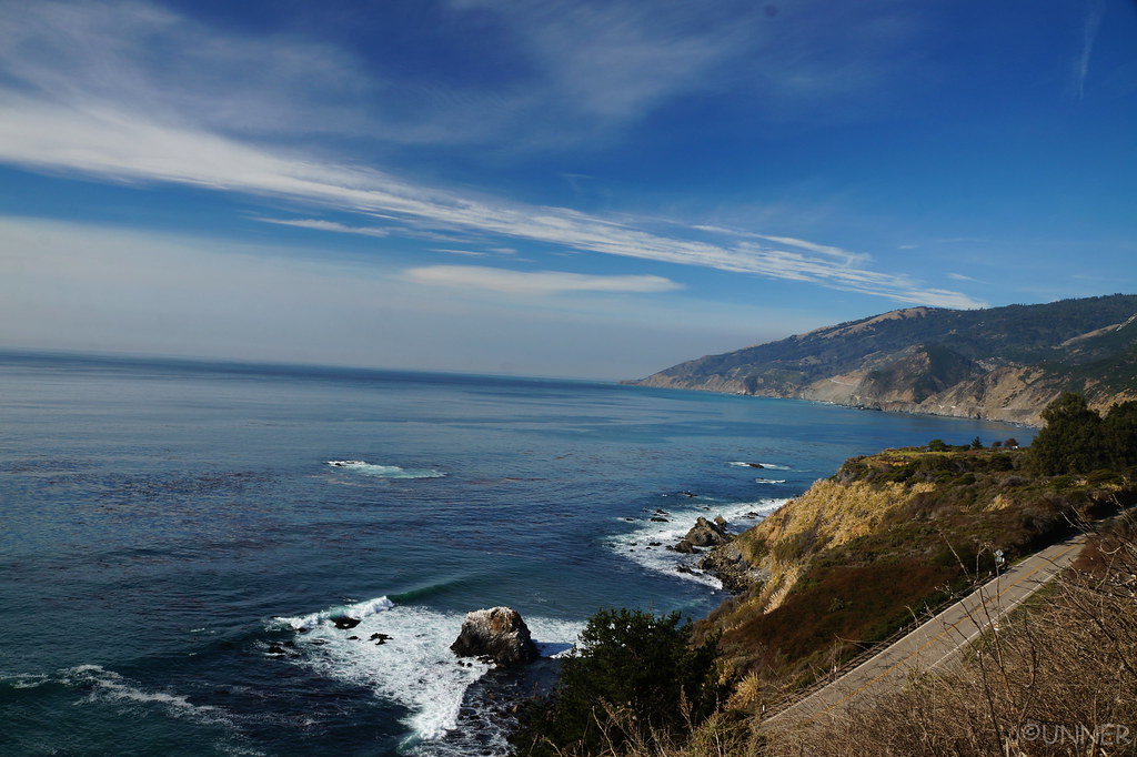
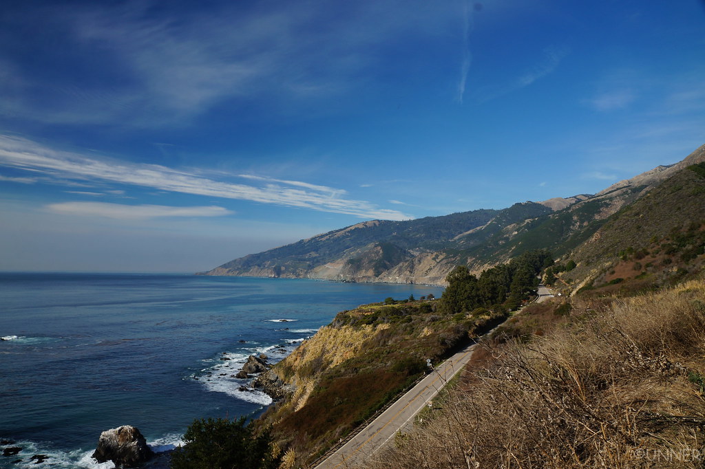
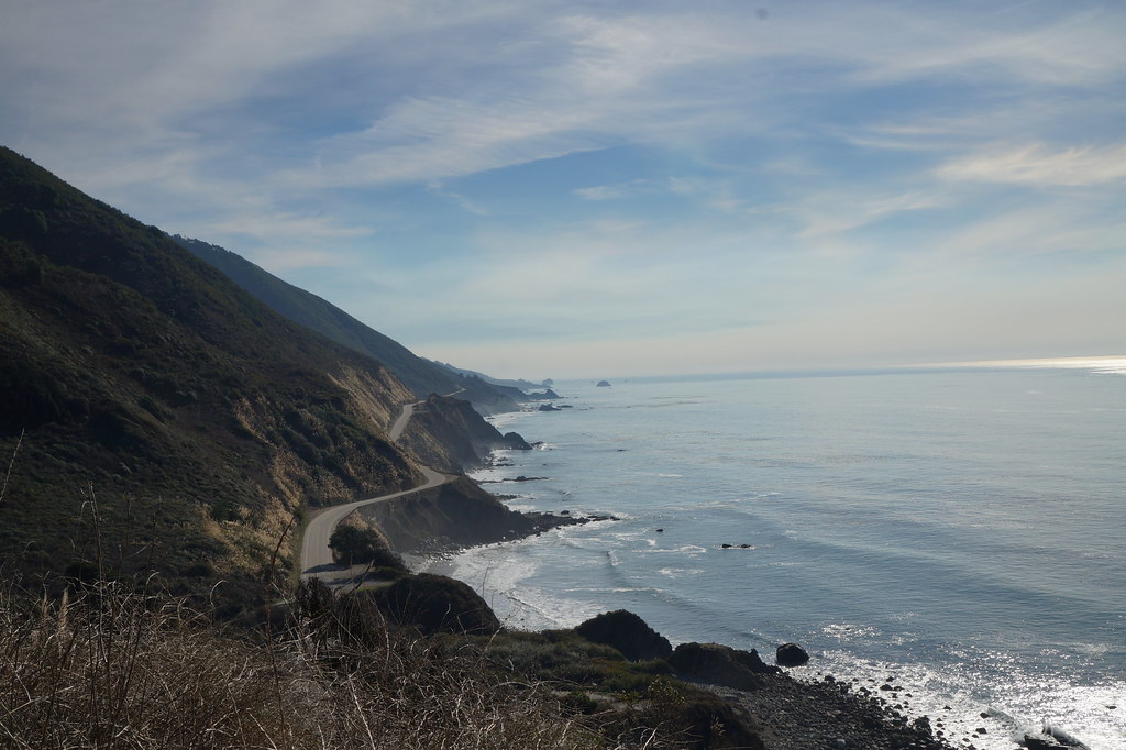
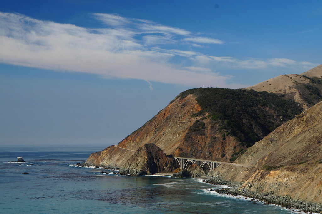
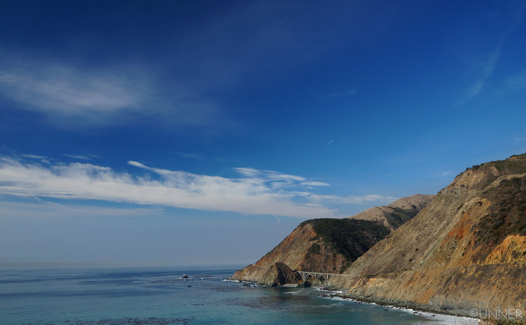
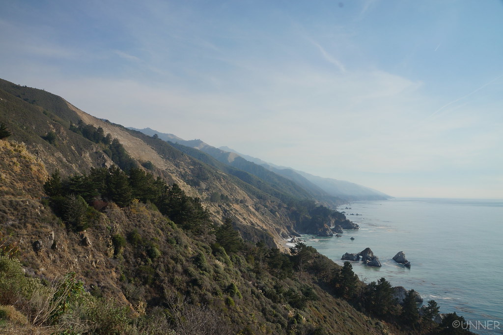
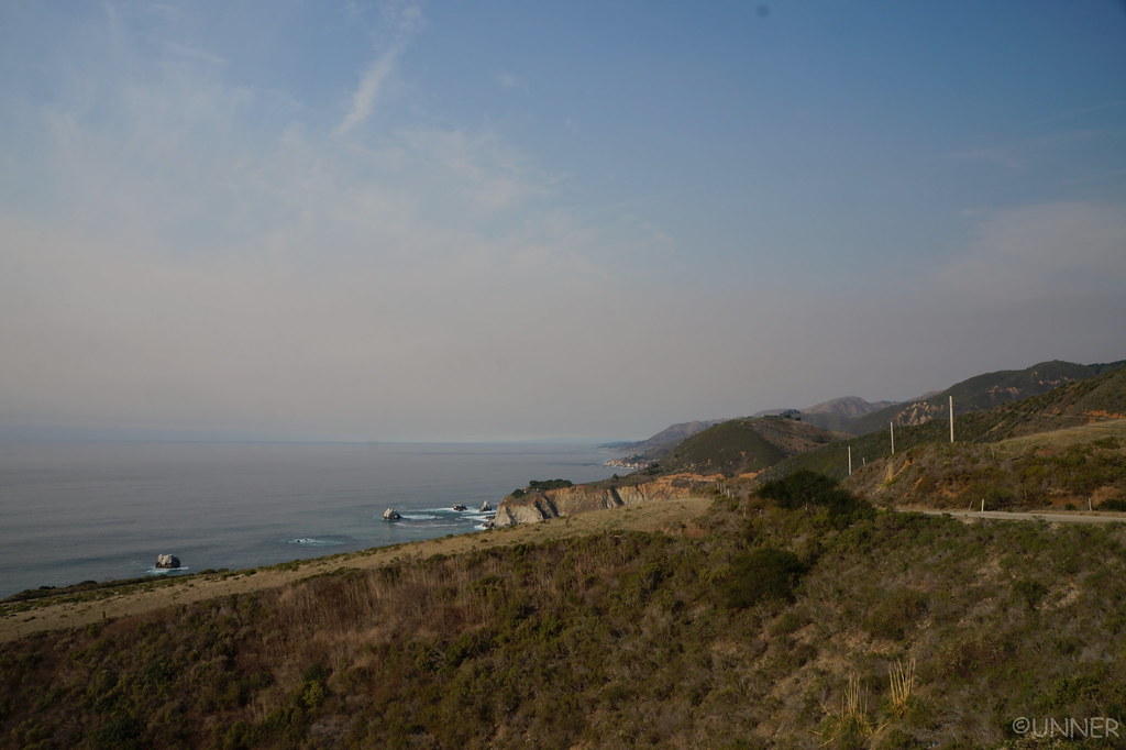
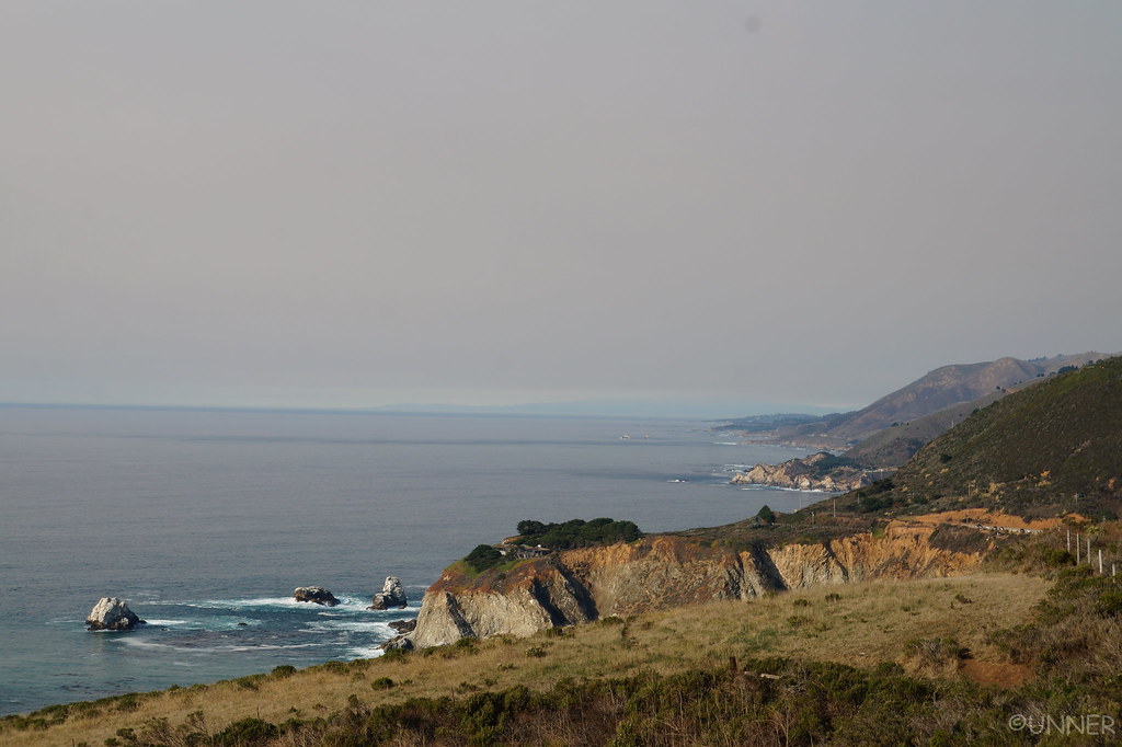
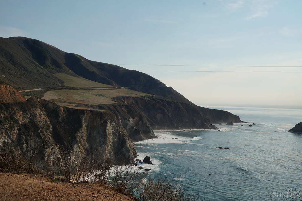
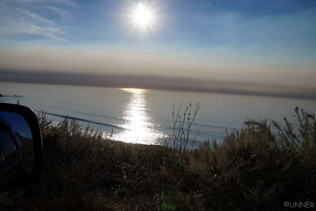
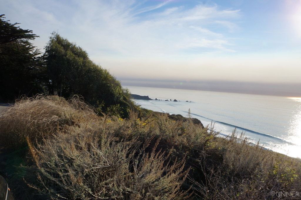
From here we continued north, making it to Ragged Point. This was as far north as we could go, the highway was closed ahead for rockslide repairs. We got gas here, because I didn’t think we would see another gas station for a long time. I knew about this road closure, so I had planned a route to get us around it using dirt roads and such through the mountains. It looked like it would be a great and fun shortcut. So I gassed up here, at $5.00 a gallon. I splurged for premium, as it was only 10 cents more than regular… We turned around, and headed for our shortcut.
 DSC01052 by Unner Unner, on Flickr
 DSC01055 by Unner Unner, on Flickr
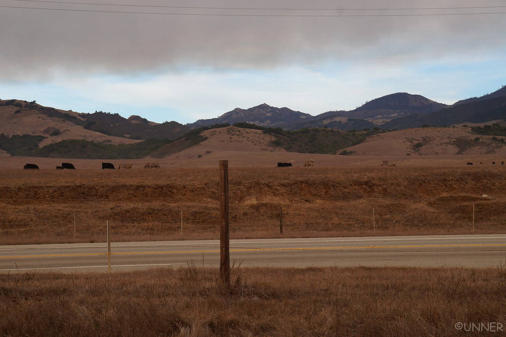
We got to our turn off, turned off, and it’s a gated road across private land… “Well that wasn’t expected.” Everything I saw indicated these were public roads we could access. I checked the map, and it looked like we had one more option just a short ways up the road. Nope, that one was gated too. Well, there goes the hours I spent planning that route… We pulled off the highway again to come up with a game plan, and watch the cows fight the zebras. These guys were not getting along.
 DSC01058 by Unner Unner, on Flickr
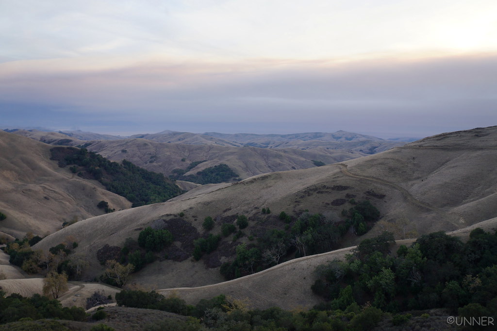
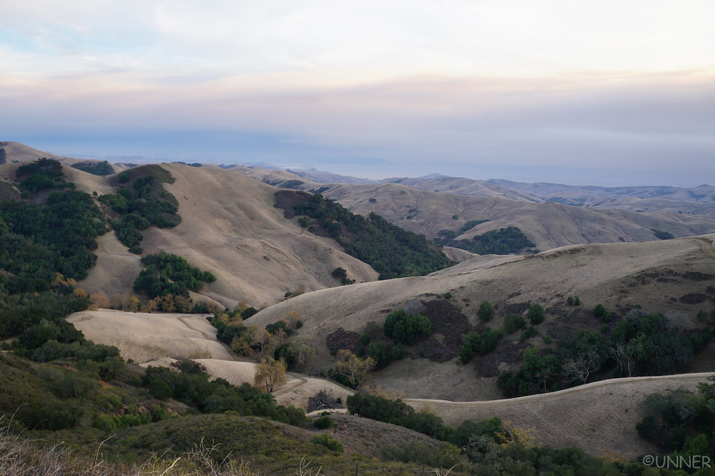
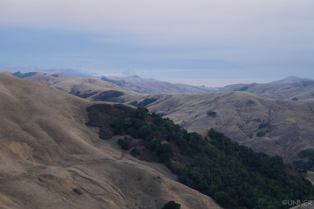
After looking all over the map, it looked like our only option was to backtrack a long ways, get on Highway 46 and take that over to Highway 101. I was bummed, but that was really our only option. We headed south, and eventually go on Highway 46 and headed East, away from the ocean. This turned out to be a beautiful drive though, winding through the large rolling hills reminded me of Italy. It was a great drive.
 DSC01060 by Unner Unner, on Flickr
 DSC01062 by Unner Unner, on Flickr
 DSC01063 by Unner Unner, on Flickr
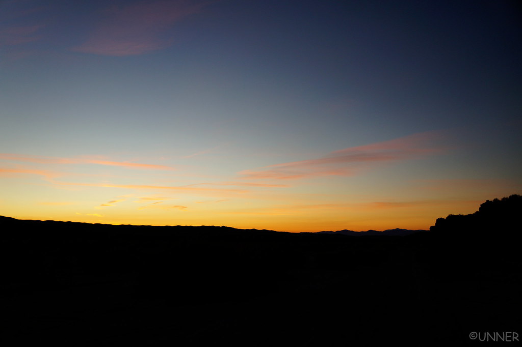
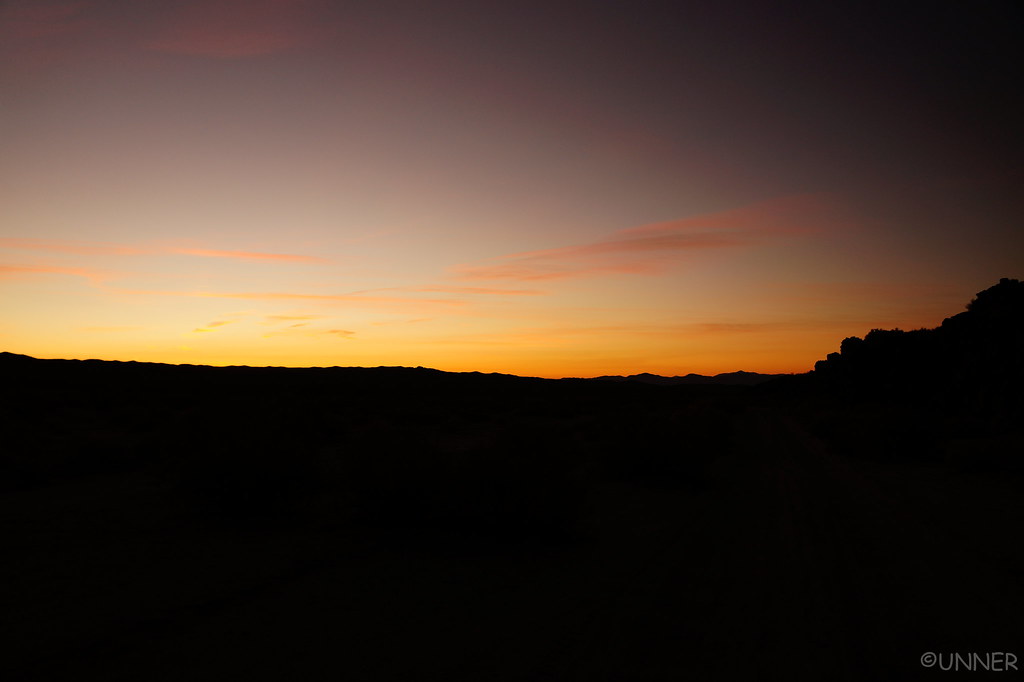
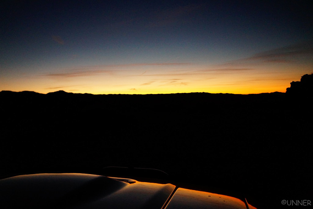
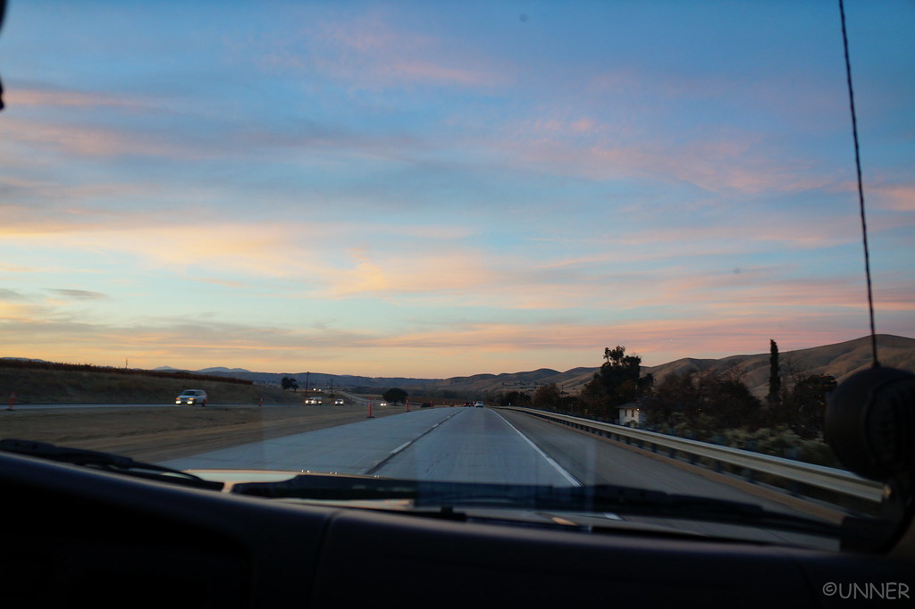
Eventually we got on 101, which also provided some great views as the sun set.
 DSC01064 by Unner Unner, on Flickr
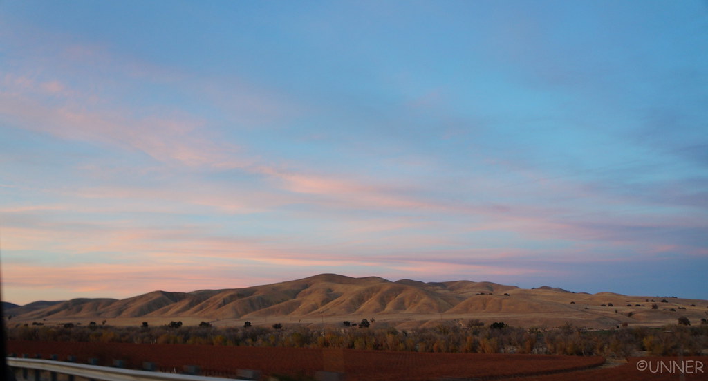 DSC01066 by Unner Unner, on Flickr
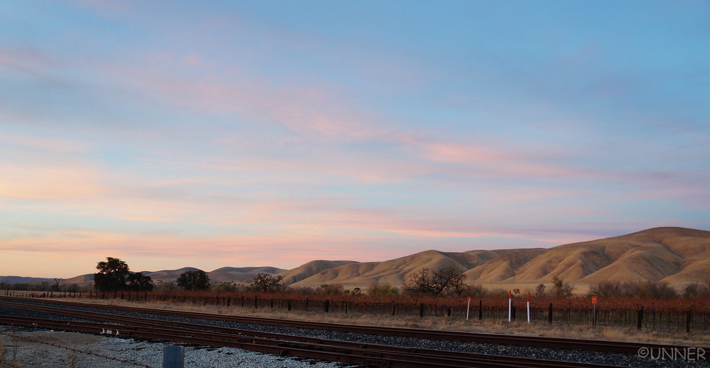 DSC01068 by Unner Unner, on Flickr
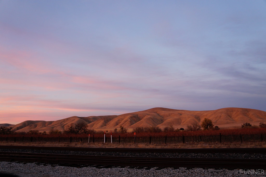 DSC01074 by Unner Unner, on Flickr
The way were headed involved some of the Coastal Ridge Trail, Prewitt Ridge Road, and Nacimiento Ferguson Road. The drive was pretty normal when we got off of 101, just some good back highways that were little traveled. Then the roads started to get smaller, and things got darker. We stayed on the same route you would go to see some old Mission for a while. We passed through a small town, and the road kept getting smaller. It was very dark now, and we came across signs that said “Entering US Military Installation”.
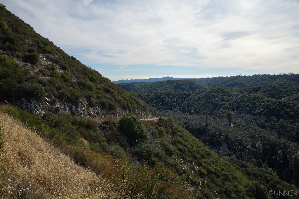
Ugghhh, alright. We both come from military families, but I was not expecting to cross a base. I don’t what they do at this base, but there was no security, no guard shack, and very few people. There was one area with a few buildings that were fenced off, but other than that it didn’t seem like a military base. Eventually we left the military area, and followed signs toward Prewitt Ridge I believe it was. This was an extremely windy road, that was a little sketchy at night if another car would come the other way. Eventually it turned to dirt, and we were basically relying on the GPS at this point. Winding left and right, around trees, occasionally I would roll the window down to see if I could see the ocean. The results were always inconclusive.
We eventually made it to the place I had intended to camp at, and pulled up to one of the spots. Taken. As were the other few spots. We drove around and there were a couple other places that we could have camped at, but they were either too close to strangers, or no view of anything. Just a pull off from the trail.
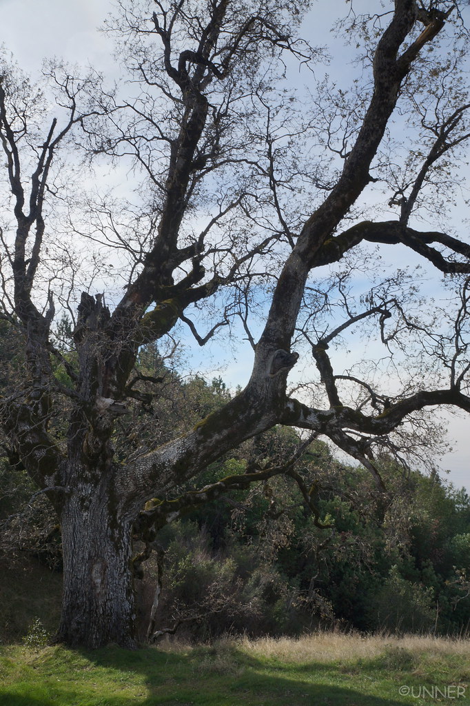
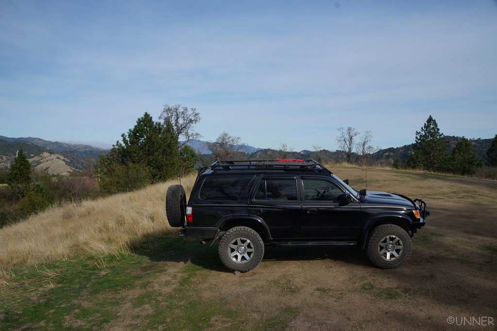
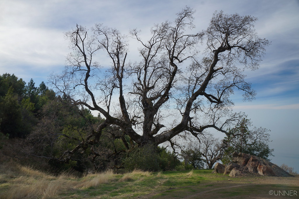
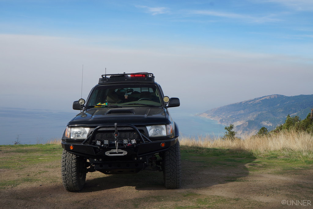
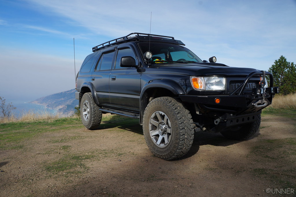
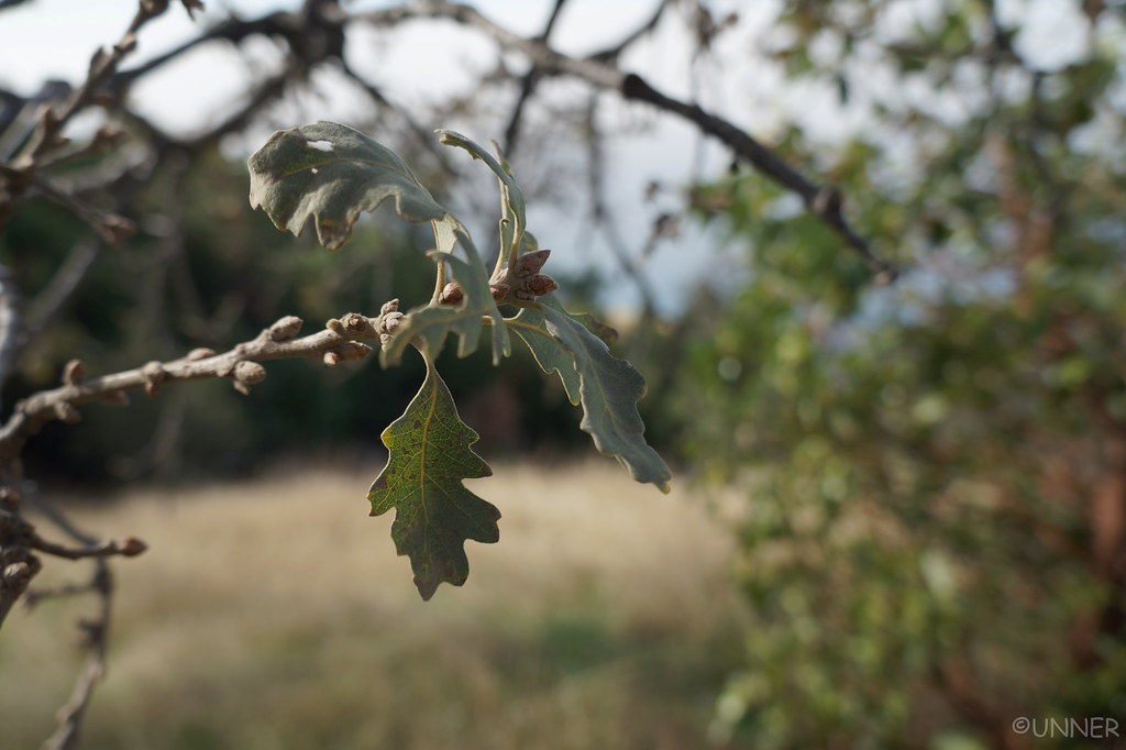
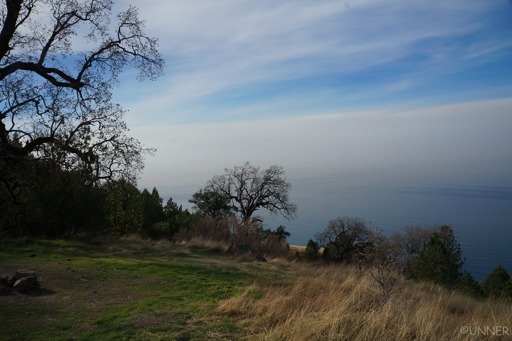
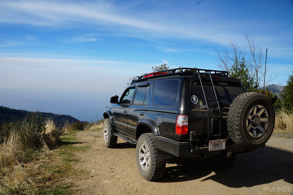
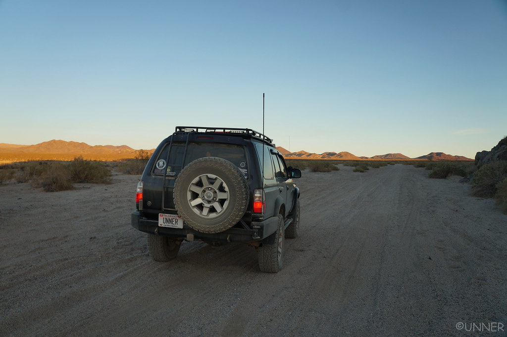
I made a couple turns, just seeing what was around. I pulled up to a big open area, with a big Oak tree at the site. From the map it looked like from here we would have a view of the ocean. I parked the truck, leveled it with a few rocks, and called it home for the night. We got out and started on dinner, on the windiest night I’ve ever spent camping. The wind was really wiping. We kept having to chase our belongings.
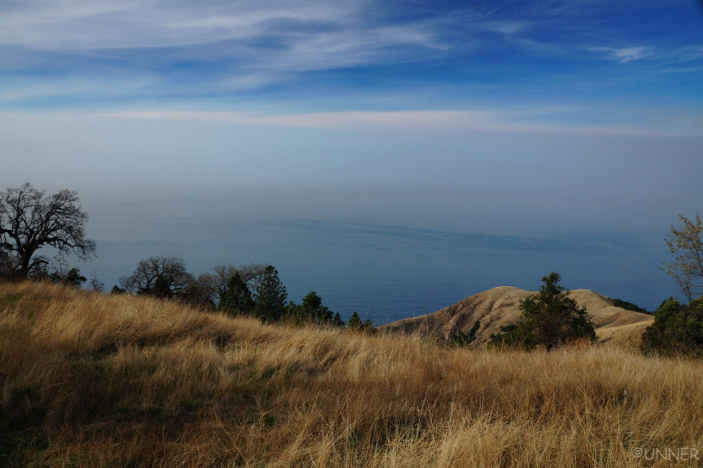
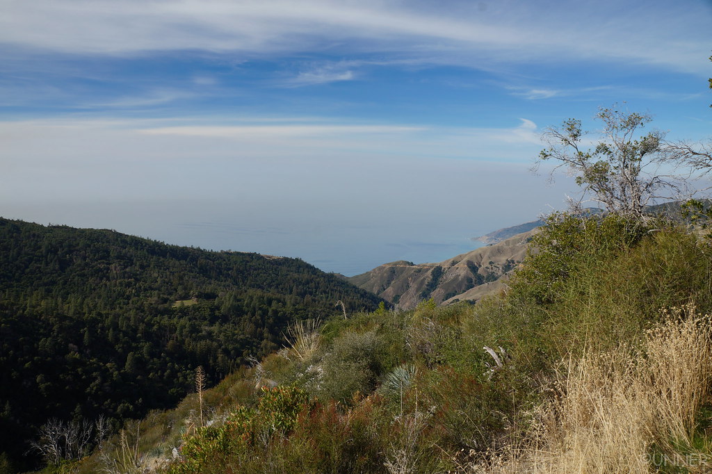
While making dinner and setting up camp I kept turning around to look down what I knew was a large hill to see if I could see the ocean from our campsite. I thought I could, but I wasn’t sure. I could see campfires at a campsite that I figured was along the PCH, but it was impossible to really tell. All I knew was our elevation was about 3,000 ft so if we could see the ocean, it would be spectacular.
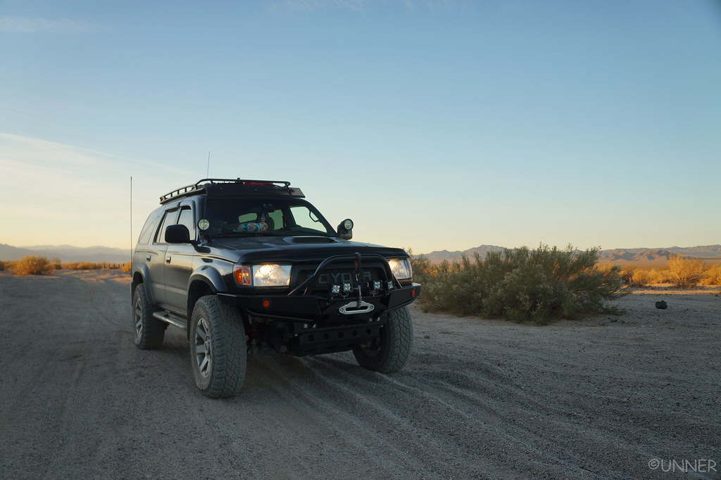
It wasn’t terribly cold this night, but the wind made it unpleasant to be outside. We made dinner, and ate it in the front seats of the 4Runner, looking at a thousand stars through the windshield.
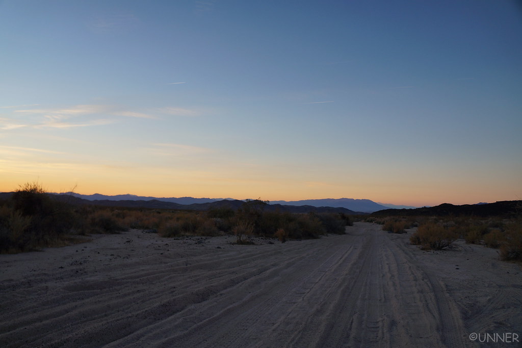
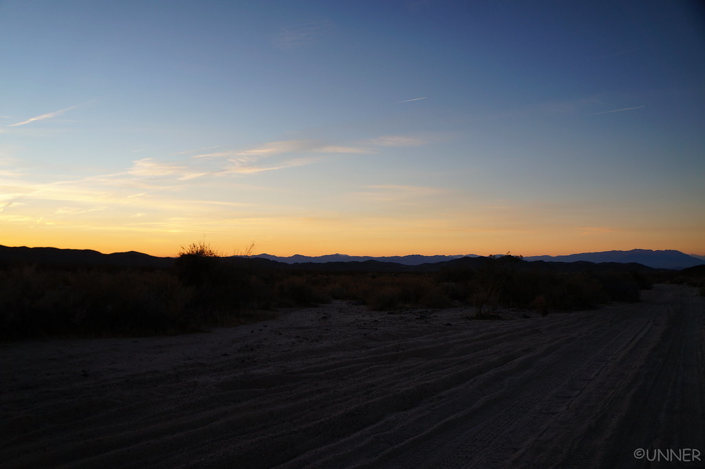
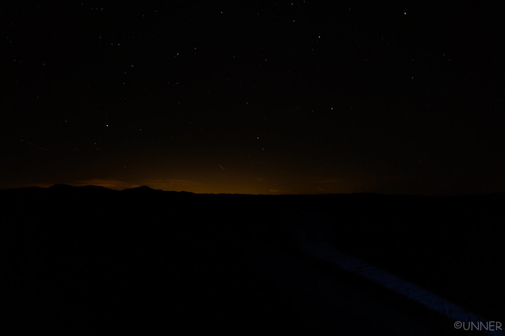
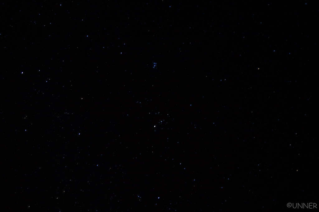
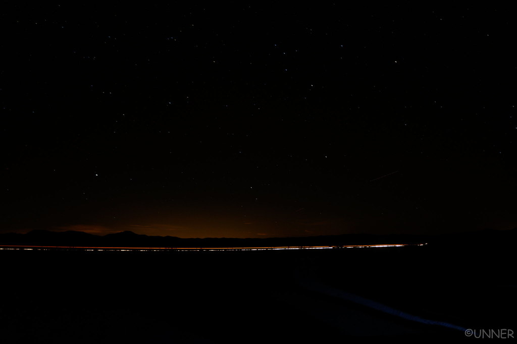
I took a couple night pictures, here but none came out too spectacular.
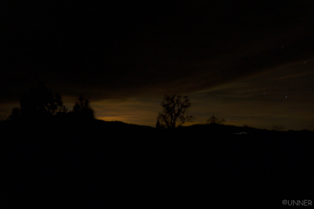 DSC01077 by Unner Unner, on Flickr
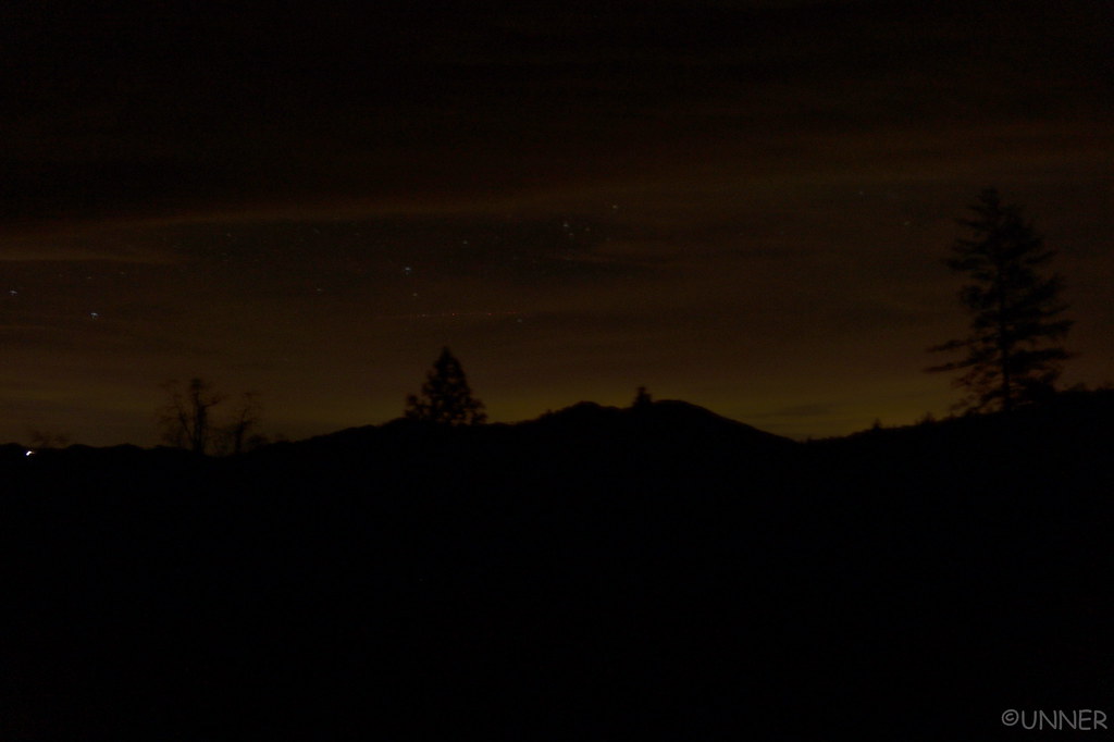 DSC01083 by Unner Unner, on Flickr
We went to bed in the 4Runner, being rocked side to side from the wind blowing so hard.
DSC01052 by Unner Unner, on FlickrDSC01055 by Unner Unner, on FlickrWe got to our turn off, turned off, and it’s a gated road across private land… “Well that wasn’t expected.” Everything I saw indicated these were public roads we could access. I checked the map, and it looked like we had one more option just a short ways up the road. Nope, that one was gated too. Well, there goes the hours I spent planning that route… We pulled off the highway again to come up with a game plan, and watch the cows fight the zebras. These guys were not getting along.
DSC01058 by Unner Unner, on FlickrAfter looking all over the map, it looked like our only option was to backtrack a long ways, get on Highway 46 and take that over to Highway 101. I was bummed, but that was really our only option. We headed south, and eventually go on Highway 46 and headed East, away from the ocean. This turned out to be a beautiful drive though, winding through the large rolling hills reminded me of Italy. It was a great drive.
DSC01060 by Unner Unner, on FlickrDSC01062 by Unner Unner, on FlickrDSC01063 by Unner Unner, on FlickrEventually we got on 101, which also provided some great views as the sun set.
DSC01064 by Unner Unner, on FlickrDSC01066 by Unner Unner, on FlickrDSC01068 by Unner Unner, on FlickrDSC01074 by Unner Unner, on FlickrThe way were headed involved some of the Coastal Ridge Trail, Prewitt Ridge Road, and Nacimiento Ferguson Road. The drive was pretty normal when we got off of 101, just some good back highways that were little traveled. Then the roads started to get smaller, and things got darker. We stayed on the same route you would go to see some old Mission for a while. We passed through a small town, and the road kept getting smaller. It was very dark now, and we came across signs that said “Entering US Military Installation”.
Ugghhh, alright. We both come from military families, but I was not expecting to cross a base. I don’t what they do at this base, but there was no security, no guard shack, and very few people. There was one area with a few buildings that were fenced off, but other than that it didn’t seem like a military base. Eventually we left the military area, and followed signs toward Prewitt Ridge I believe it was. This was an extremely windy road, that was a little sketchy at night if another car would come the other way. Eventually it turned to dirt, and we were basically relying on the GPS at this point. Winding left and right, around trees, occasionally I would roll the window down to see if I could see the ocean. The results were always inconclusive.
We eventually made it to the place I had intended to camp at, and pulled up to one of the spots. Taken. As were the other few spots. We drove around and there were a couple other places that we could have camped at, but they were either too close to strangers, or no view of anything. Just a pull off from the trail.
I made a couple turns, just seeing what was around. I pulled up to a big open area, with a big Oak tree at the site. From the map it looked like from here we would have a view of the ocean. I parked the truck, leveled it with a few rocks, and called it home for the night. We got out and started on dinner, on the windiest night I’ve ever spent camping. The wind was really wiping. We kept having to chase our belongings.
While making dinner and setting up camp I kept turning around to look down what I knew was a large hill to see if I could see the ocean from our campsite. I thought I could, but I wasn’t sure. I could see campfires at a campsite that I figured was along the PCH, but it was impossible to really tell. All I knew was our elevation was about 3,000 ft so if we could see the ocean, it would be spectacular.
It wasn’t terribly cold this night, but the wind made it unpleasant to be outside. We made dinner, and ate it in the front seats of the 4Runner, looking at a thousand stars through the windshield.
I took a couple night pictures, here but none came out too spectacular.
DSC01077 by Unner Unner, on FlickrDSC01083 by Unner Unner, on FlickrWe went to bed in the 4Runner, being rocked side to side from the wind blowing so hard.