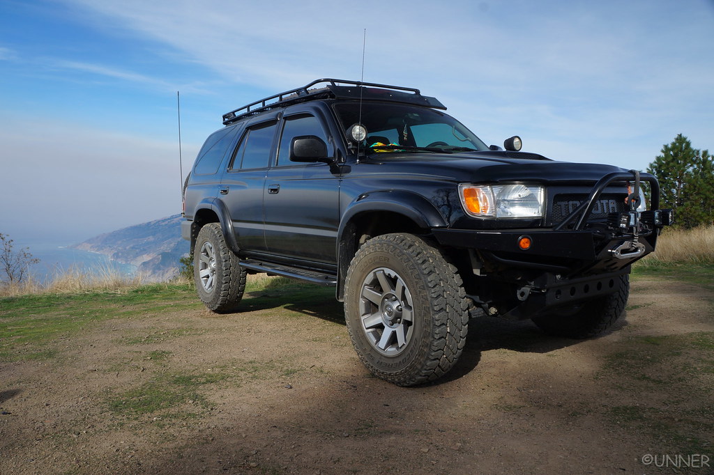
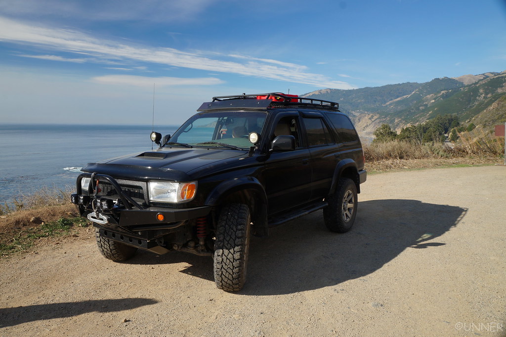
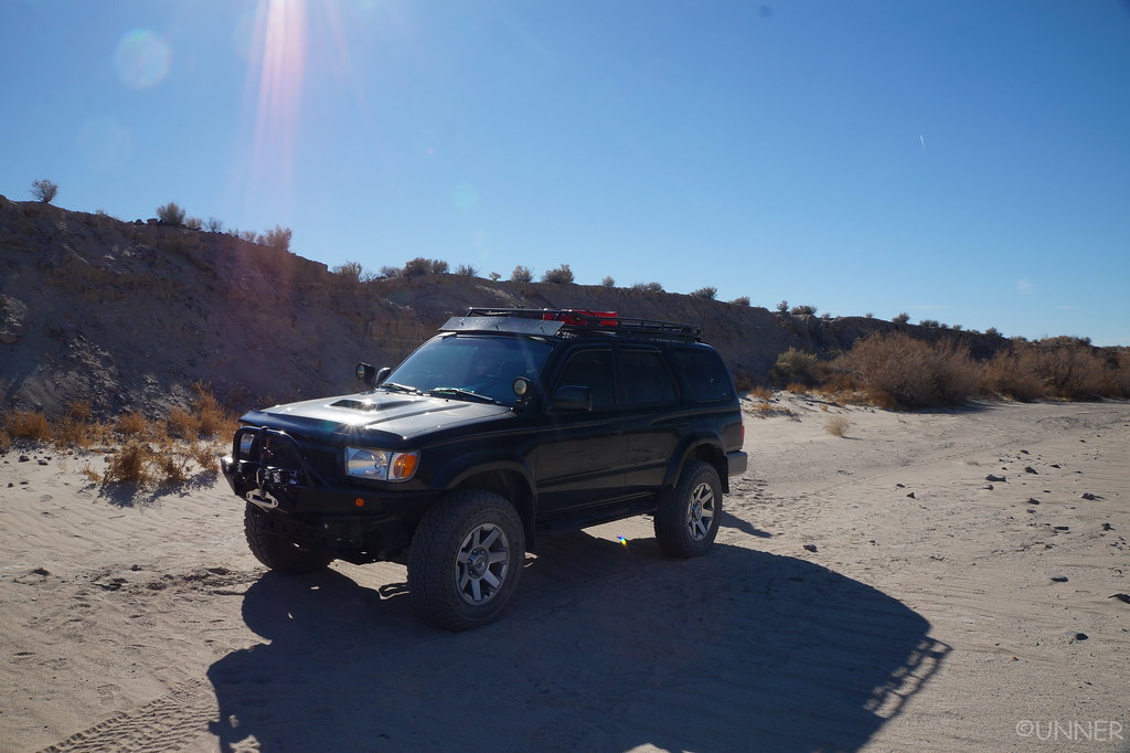
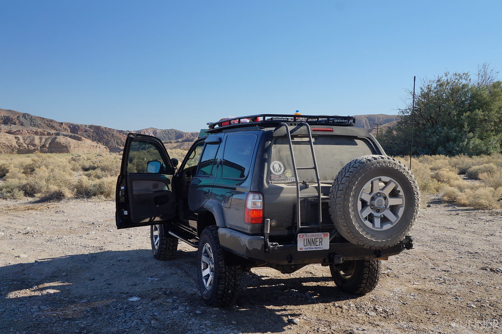
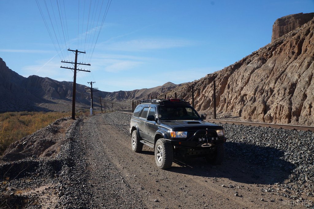
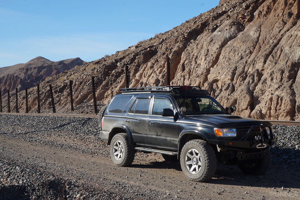
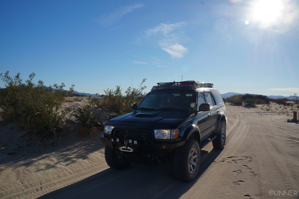
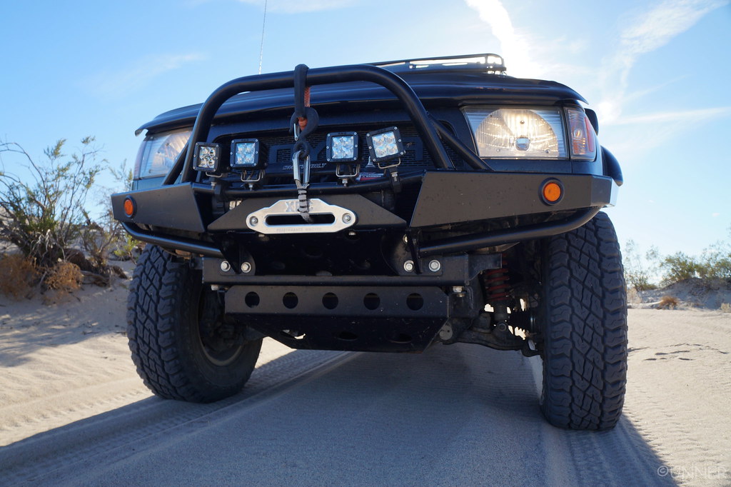
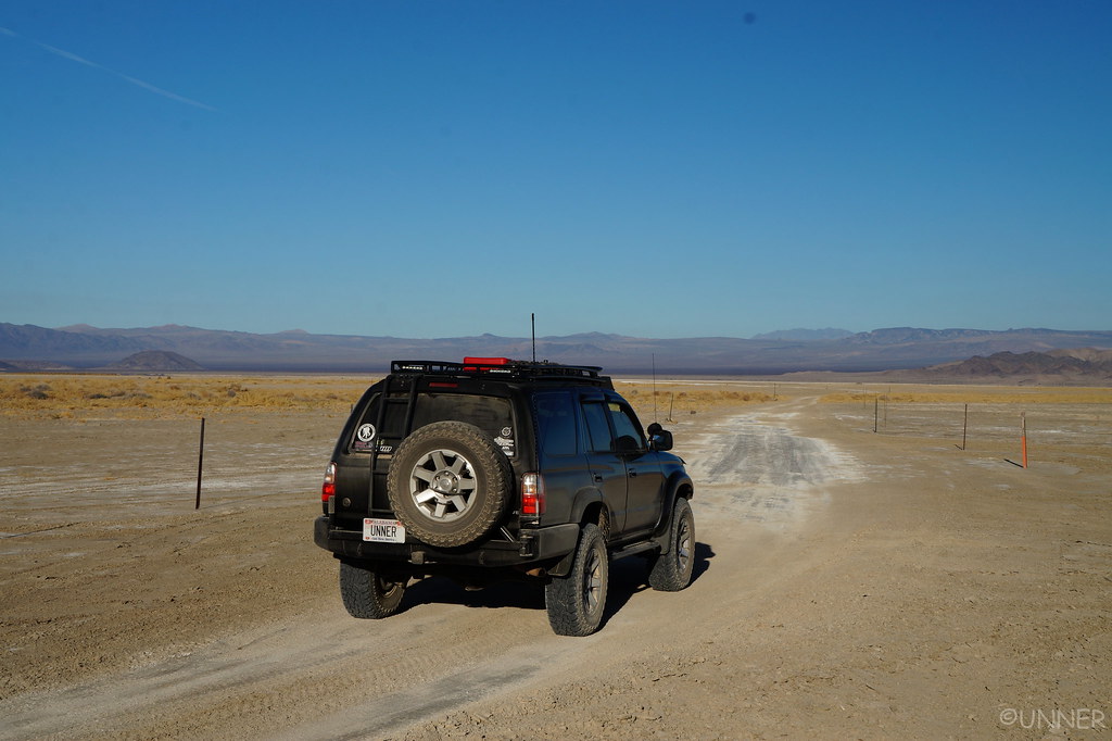
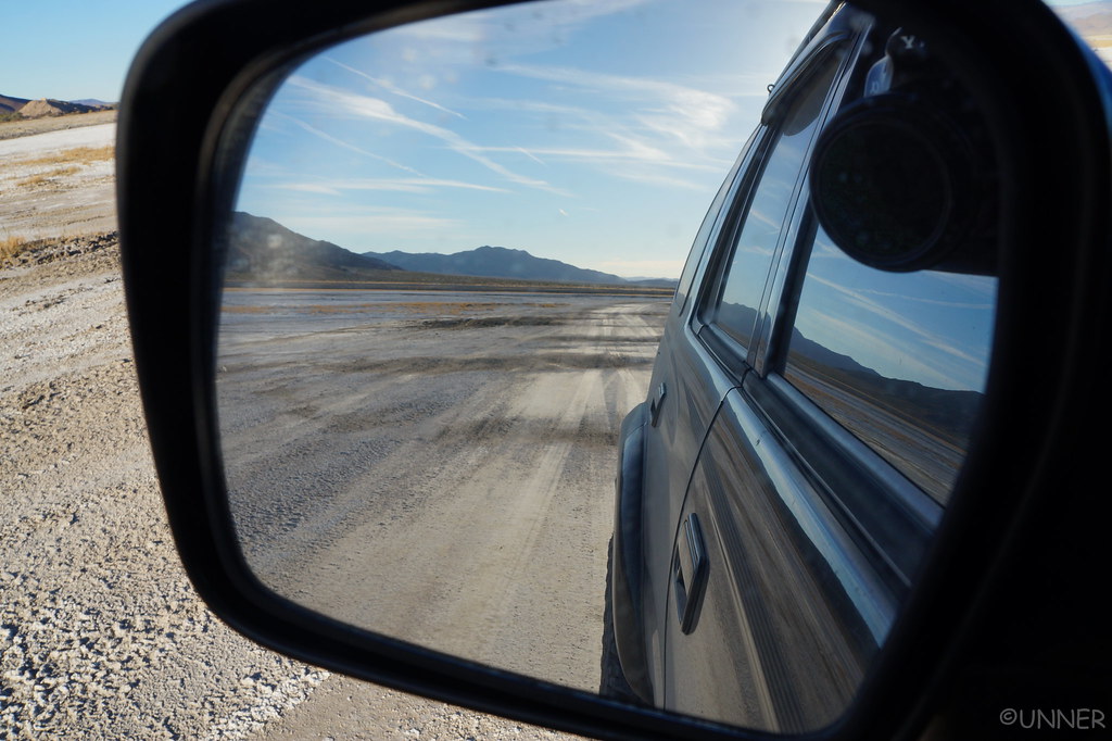
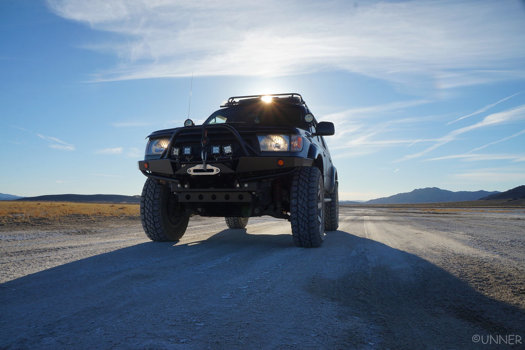
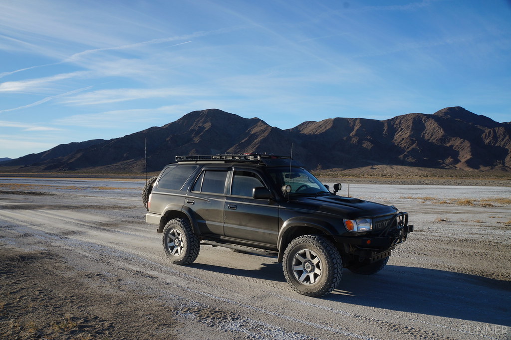
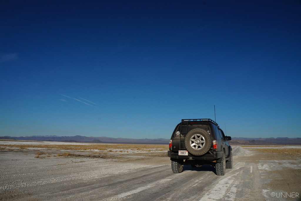
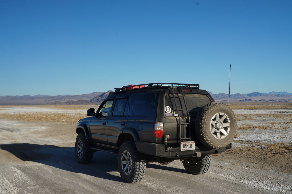
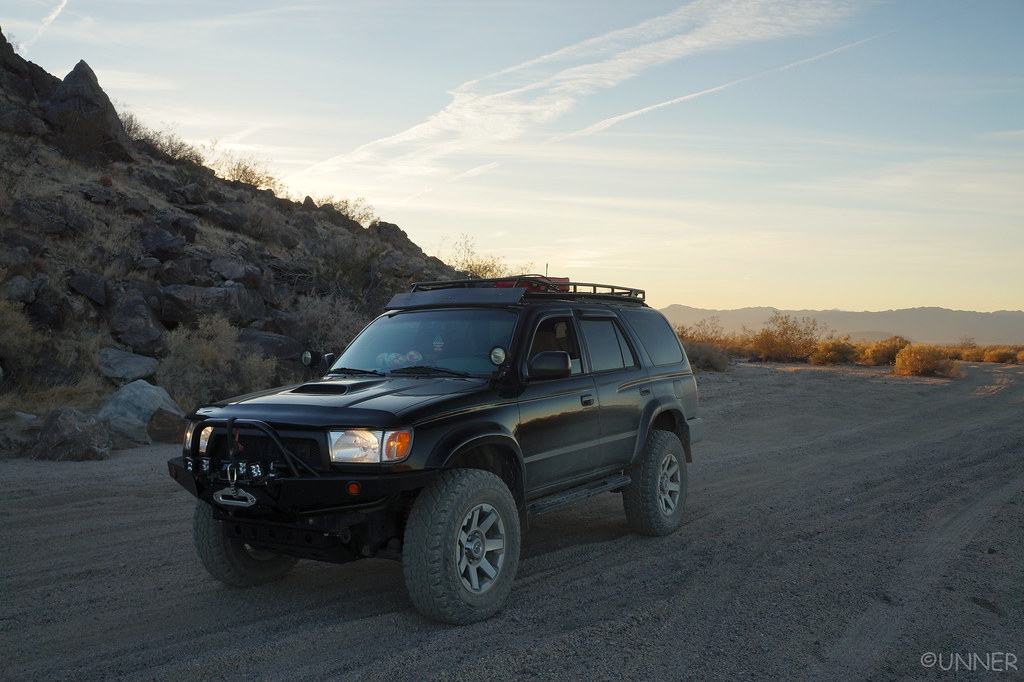
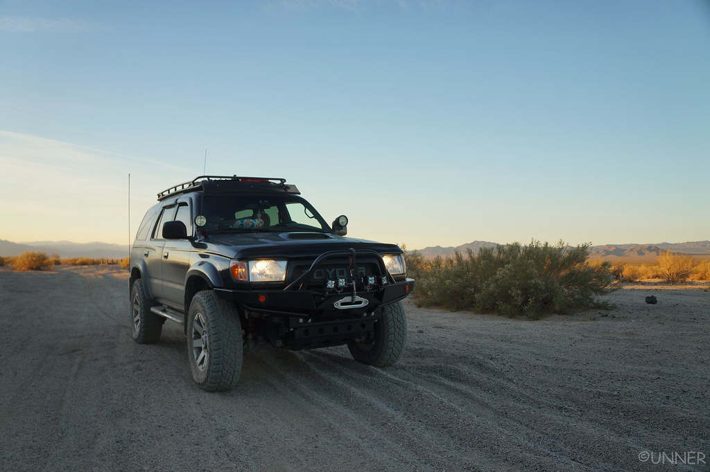
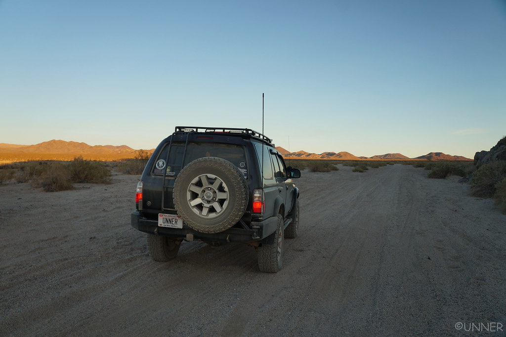
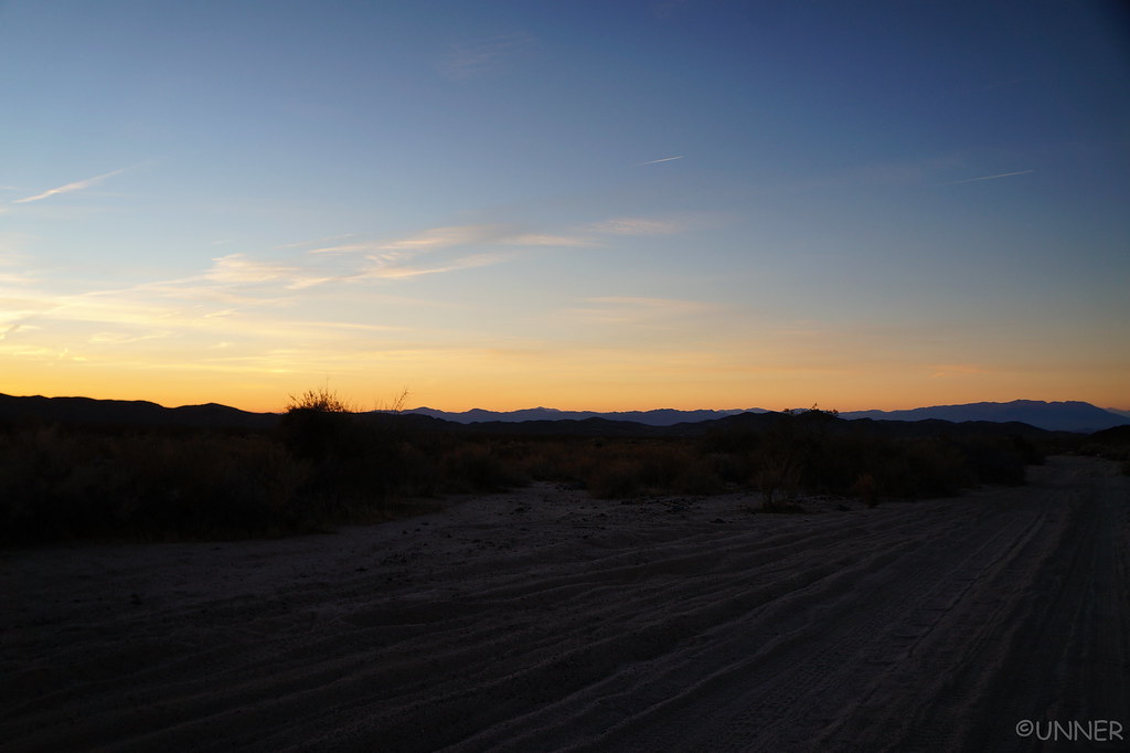
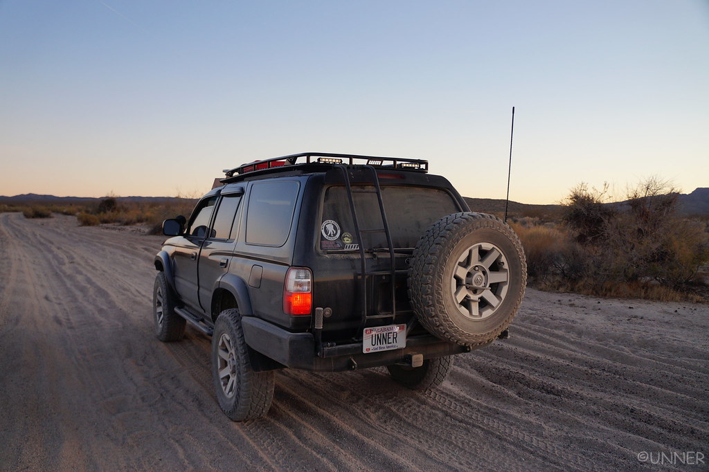
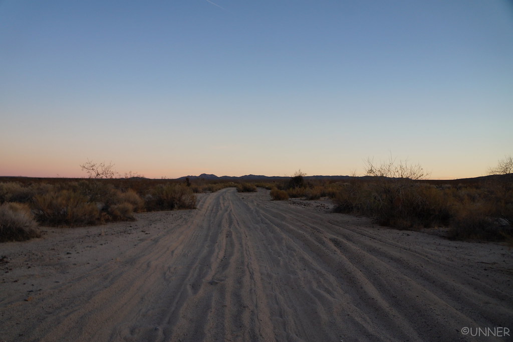
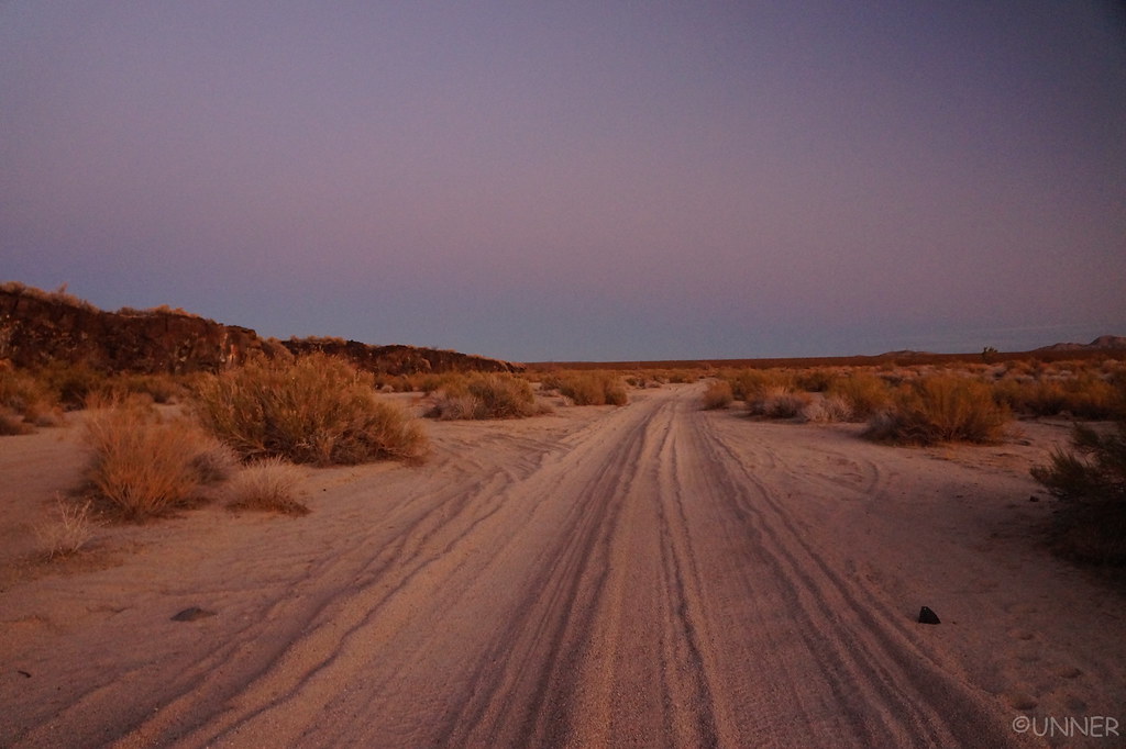
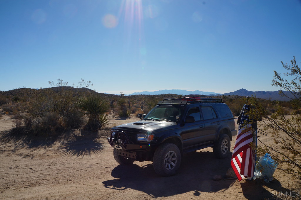
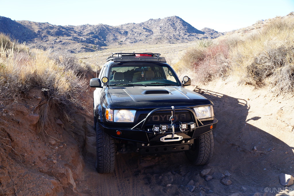
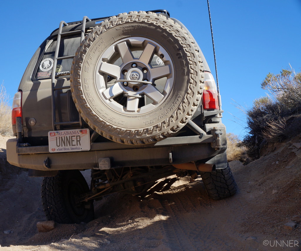
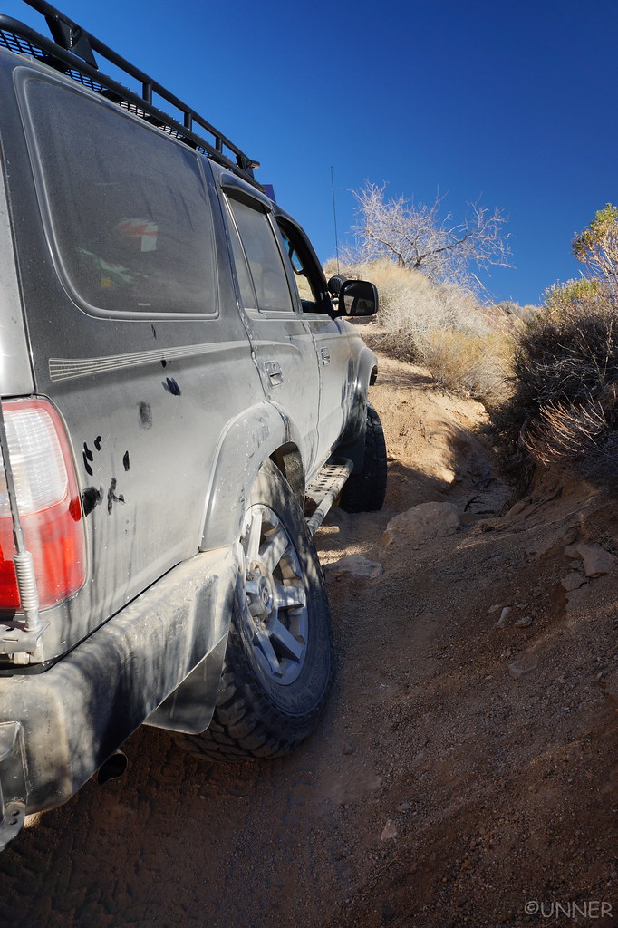
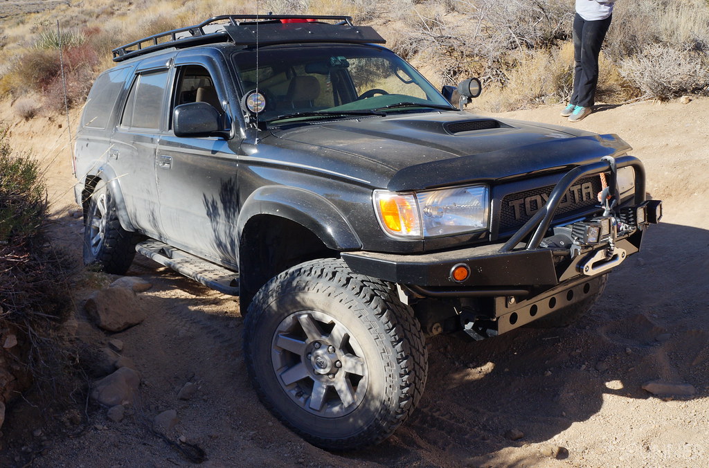
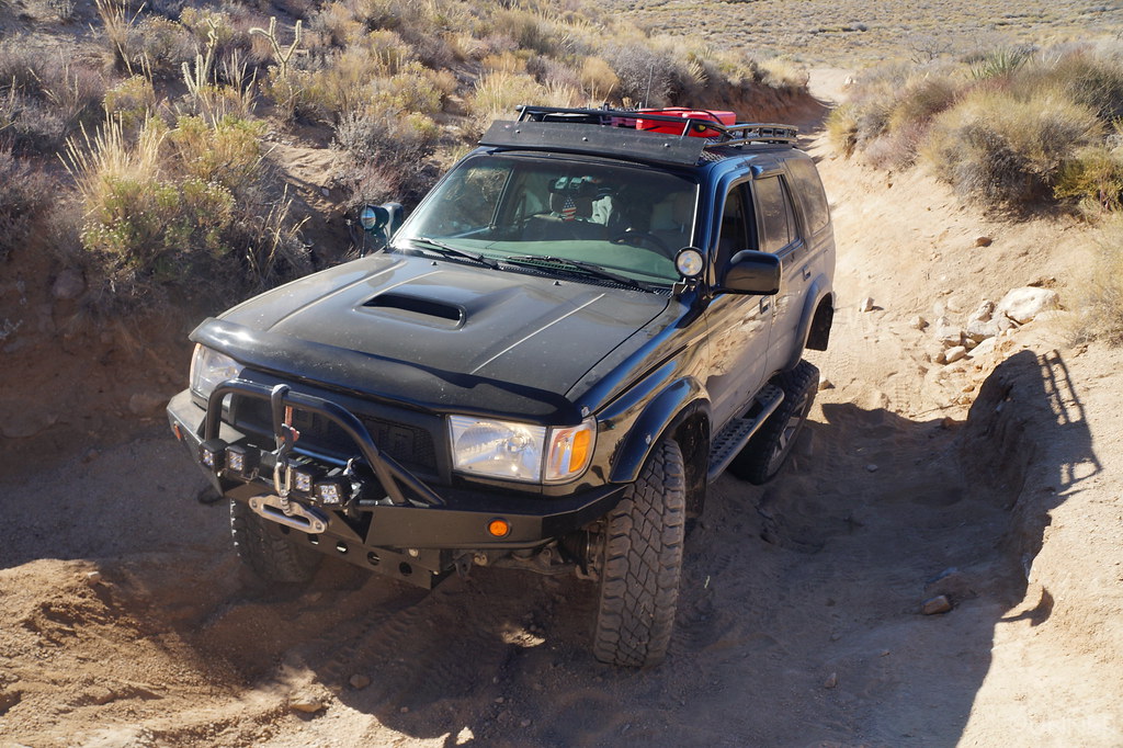
Unner's Build, 2001 T4R 4x4

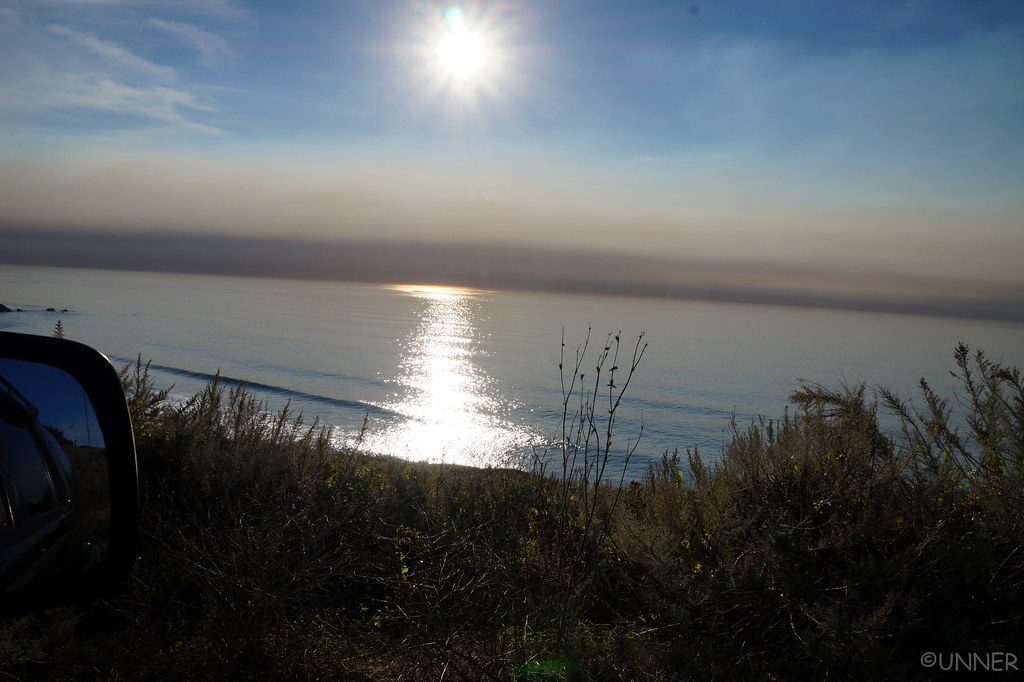
From here we continued north, making it to Ragged Point. This was as far north as we could go, the highway was closed ahead for rockslide repairs. We got gas here, because I didn’t think we would see another gas station for a long time. I knew about this road closure, so I had planned a route to get us around it using dirt roads and such through the mountains. It looked like it would be a great and fun shortcut. So I gassed up here, at $5.00 a gallon. I splurged for premium, as it was only 10 cents more than regular… We turned around, and headed for our shortcut.
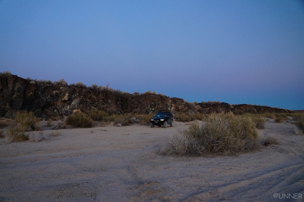
DSC01052 by Unner Unner, on Flickr

DSC01055 by Unner Unner, on Flickr

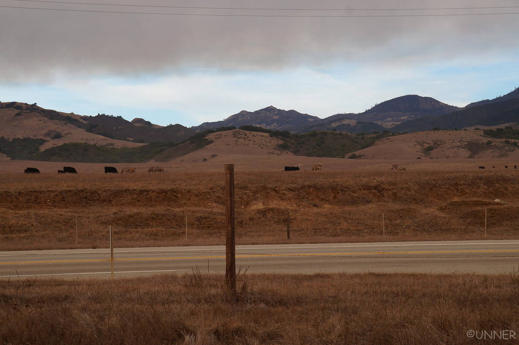
We got to our turn off, turned off, and it’s a gated road across private land… “Well that wasn’t expected.” Everything I saw indicated these were public roads we could access. I checked the map, and it looked like we had one more option just a short ways up the road. Nope, that one was gated too. Well, there goes the hours I spent planning that route… We pulled off the highway again to come up with a game plan, and watch the cows fight the zebras. These guys were not getting along.
DSC01058 by Unner Unner, on Flickr

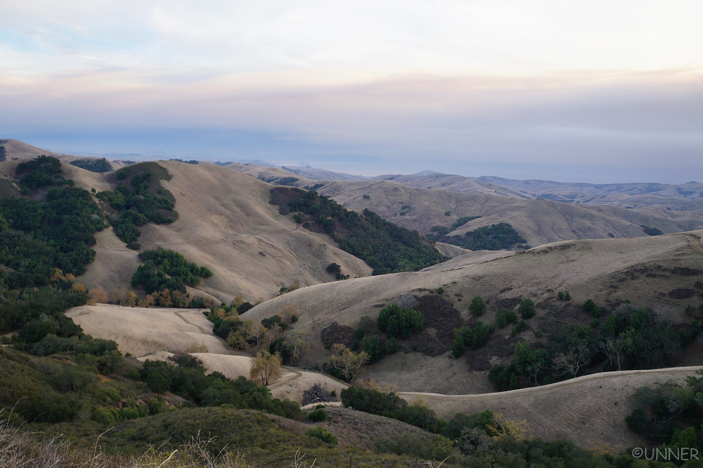
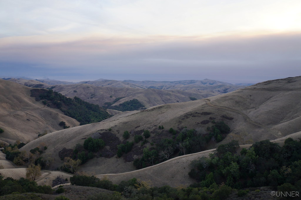
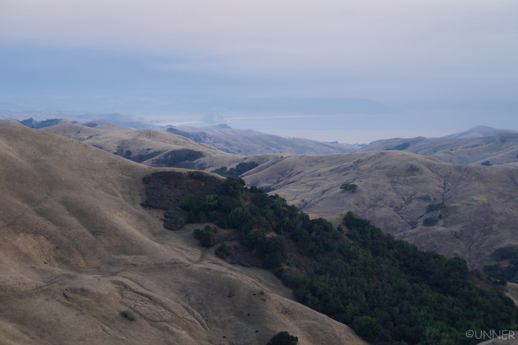
After looking all over the map, it looked like our only option was to backtrack a long ways, get on Highway 46 and take that over to Highway 101. I was bummed, but that was really our only option. We headed south, and eventually go on Highway 46 and headed East, away from the ocean. This turned out to be a beautiful drive though, winding through the large rolling hills reminded me of Italy. It was a great drive.
DSC01060 by Unner Unner, on Flickr

DSC01062 by Unner Unner, on Flickr
DSC01063 by Unner Unner, on Flickr

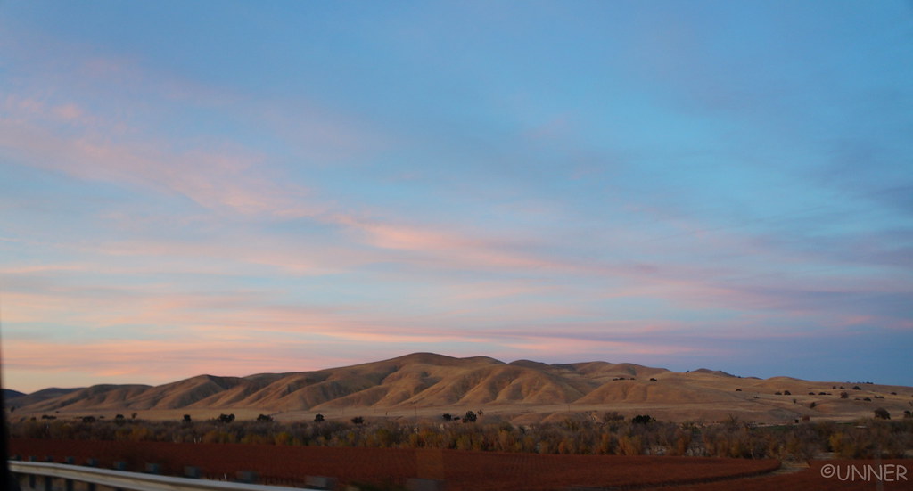
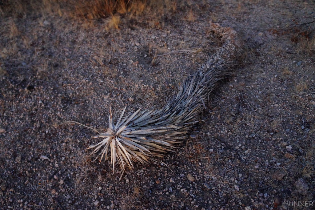
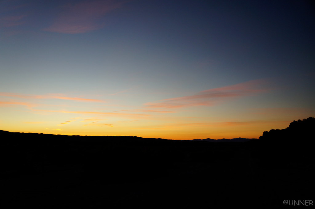
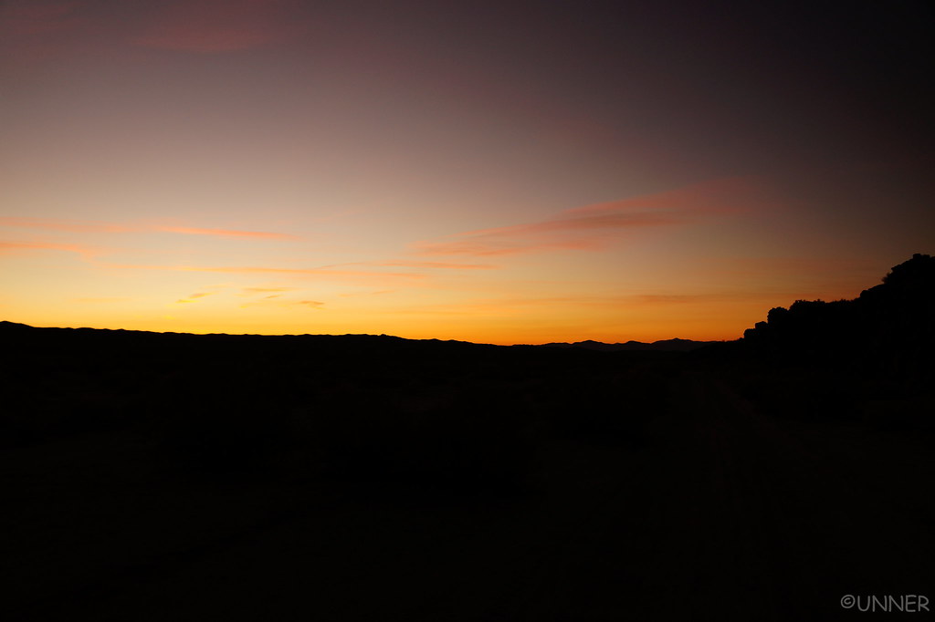
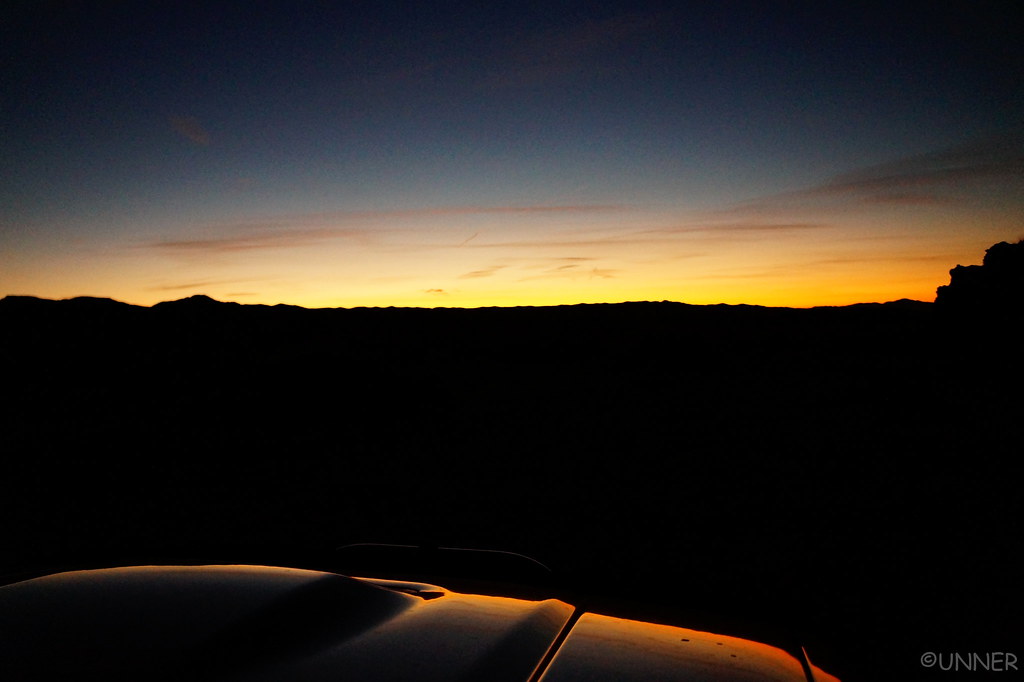
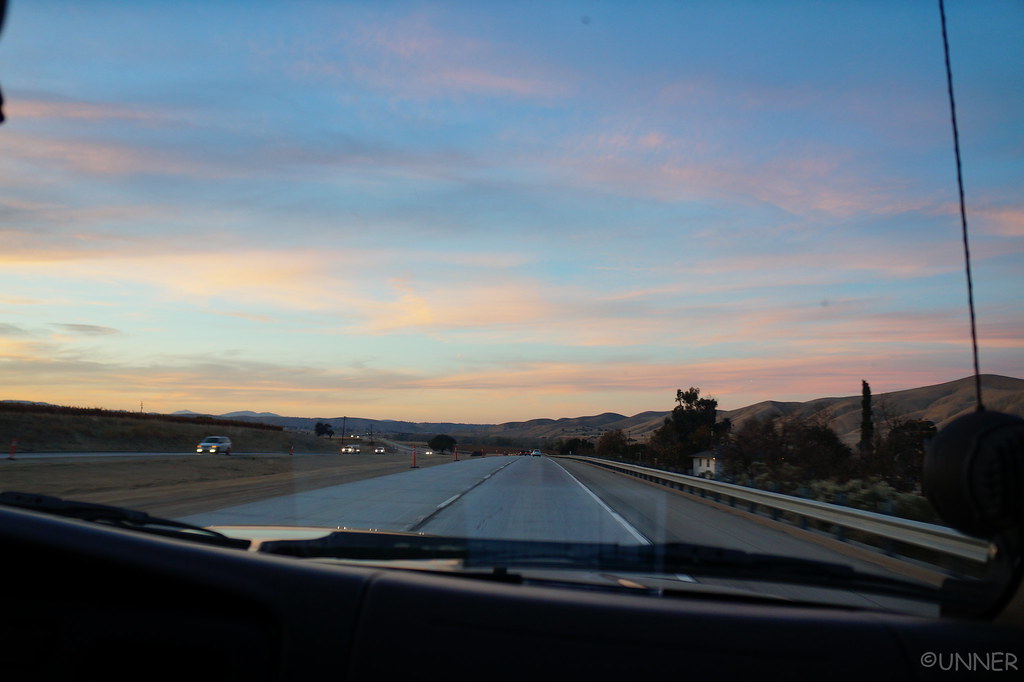
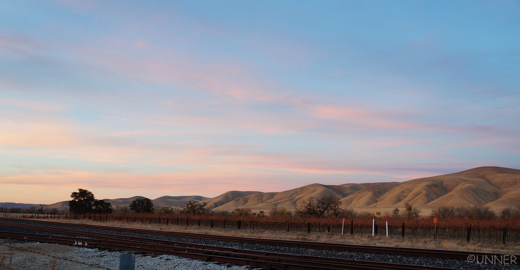
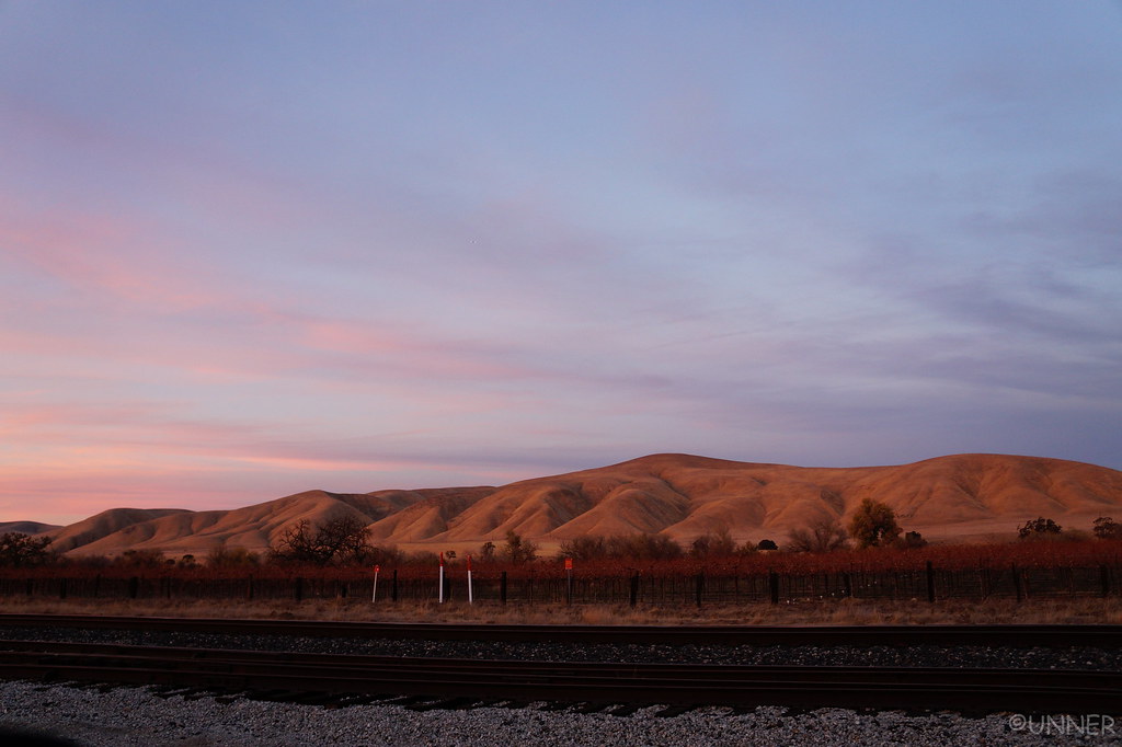
Eventually we got on 101, which also provided some great views as the sun set.
DSC01064 by Unner Unner, on Flickr

DSC01066 by Unner Unner, on Flickr
DSC01068 by Unner Unner, on Flickr
DSC01074 by Unner Unner, on Flickr

The way were headed involved some of the Coastal Ridge Trail, Prewitt Ridge Road, and Nacimiento Ferguson Road. The drive was pretty normal when we got off of 101, just some good back highways that were little traveled. Then the roads started to get smaller, and things got darker. We stayed on the same route you would go to see some old Mission for a while. We passed through a small town, and the road kept getting smaller. It was very dark now, and we came across signs that said “Entering US Military Installation”.
Ugghhh, alright. We both come from military families, but I was not expecting to cross a base. I don’t what they do at this base, but there was no security, no guard shack, and very few people. There was one area with a few buildings that were fenced off, but other than that it didn’t seem like a military base. Eventually we left the military area, and followed signs toward Prewitt Ridge I believe it was. This was an extremely windy road, that was a little sketchy at night if another car would come the other way. Eventually it turned to dirt, and we were basically relying on the GPS at this point. Winding left and right, around trees, occasionally I would roll the window down to see if I could see the ocean. The results were always inconclusive.
We eventually made it to the place I had intended to camp at, and pulled up to one of the spots. Taken. As were the other few spots. We drove around and there were a couple other places that we could have camped at, but they were either too close to strangers, or no view of anything. Just a pull off from the trail.

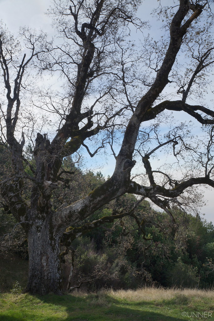
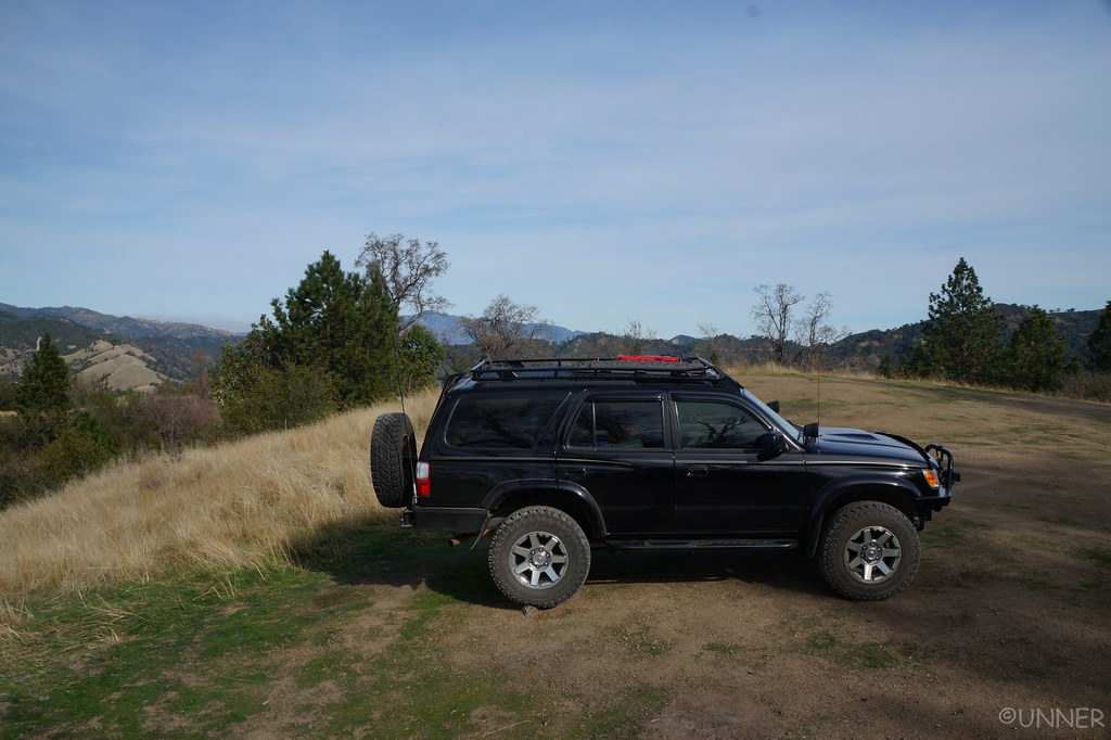
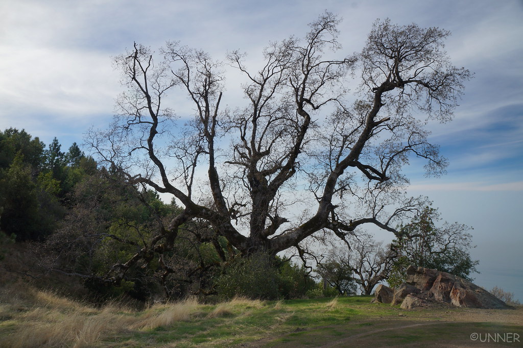
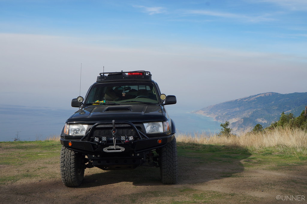
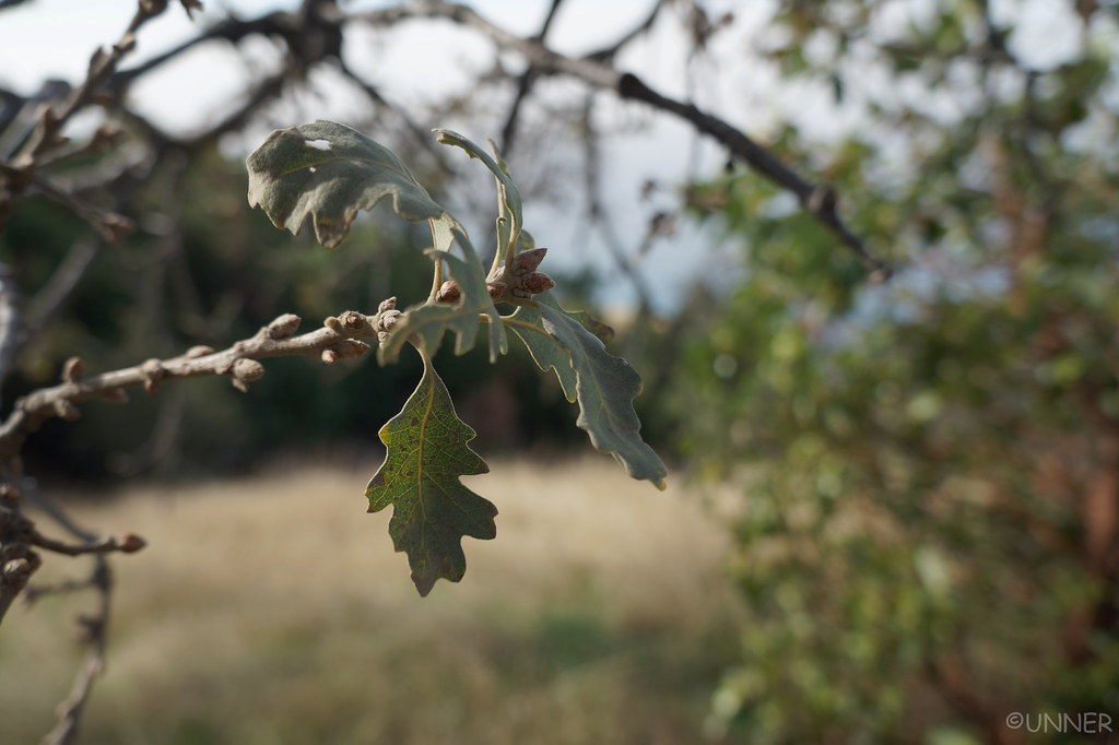
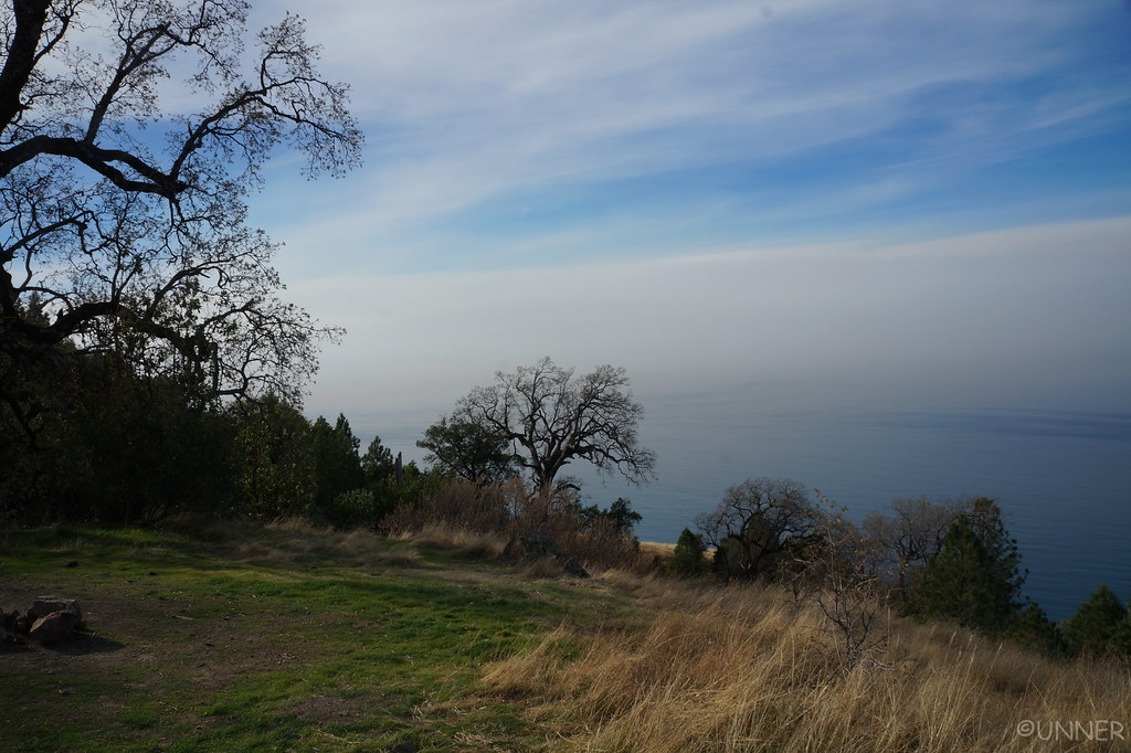
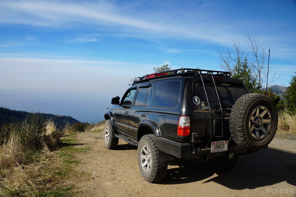
I made a couple turns, just seeing what was around. I pulled up to a big open area, with a big Oak tree at the site. From the map it looked like from here we would have a view of the ocean. I parked the truck, leveled it with a few rocks, and called it home for the night. We got out and started on dinner, on the windiest night I’ve ever spent camping. The wind was really wiping. We kept having to chase our belongings.

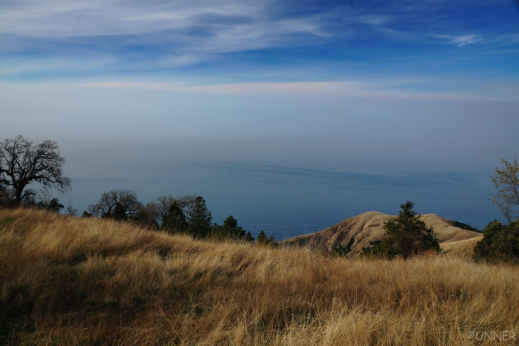
While making dinner and setting up camp I kept turning around to look down what I knew was a large hill to see if I could see the ocean from our campsite. I thought I could, but I wasn’t sure. I could see campfires at a campsite that I figured was along the PCH, but it was impossible to really tell. All I knew was our elevation was about 3,000 ft so if we could see the ocean, it would be spectacular.

It wasn’t terribly cold this night, but the wind made it unpleasant to be outside. We made dinner, and ate it in the front seats of the 4Runner, looking at a thousand stars through the windshield.

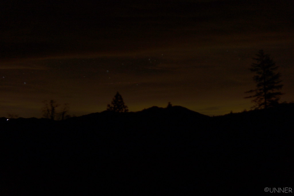
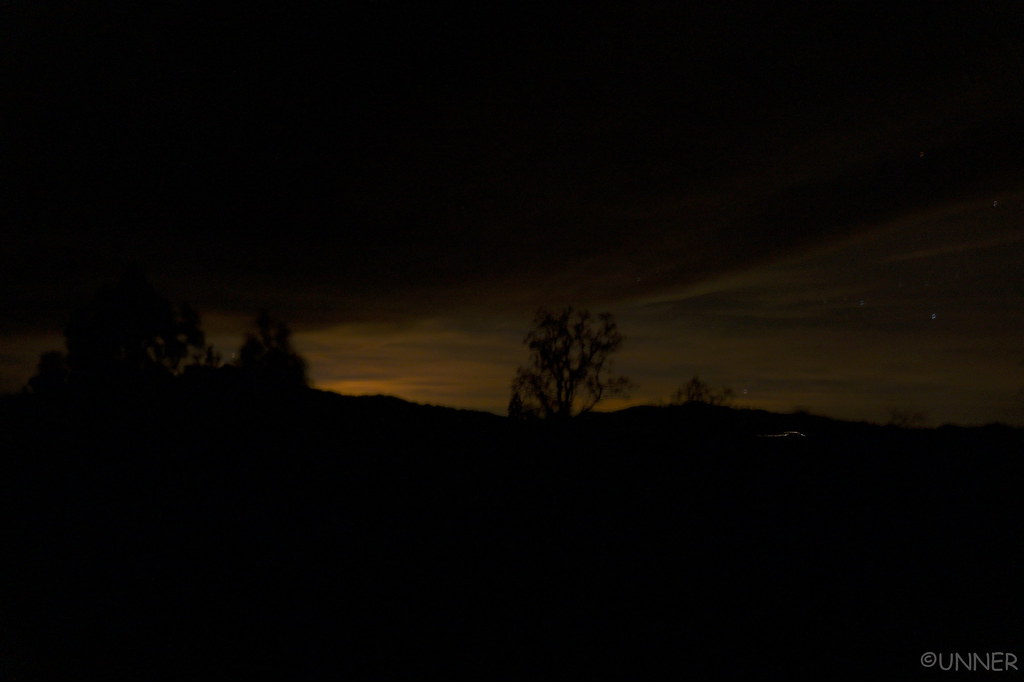
I took a couple night pictures, here but none came out too spectacular.
DSC01077 by Unner Unner, on Flickr

DSC01083 by Unner Unner, on Flickr

We went to bed in the 4Runner, being rocked side to side from the wind blowing so hard.
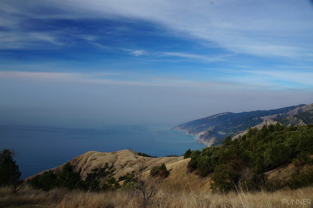
 
Day 6 - Pacific Coast Highway

In the morning the wind had subsided, and we were greeted with this view out of the back of the 4Runner.

DSC01087 by Unner Unner, on Flickr

Yes, that was the ocean.

DSC01088 by Unner Unner, on Flickr

DSC01092 by Unner Unner, on Flickr

DSC01093 by Unner Unner, on Flickr

DSC01099 by Unner Unner, on Flickr

DSC01101 by Unner Unner, on Flickr

DSC01108 by Unner Unner, on Flickr

DSC01112 by Unner Unner, on Flickr

DSC01120 by Unner Unner, on Flickr

The coordinates for this campsite are: 35°58'28.1"N 121°27'22.6"W if anyone cares. It’s a really awesome campsite.

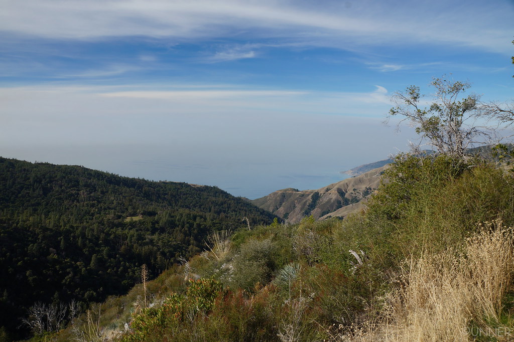
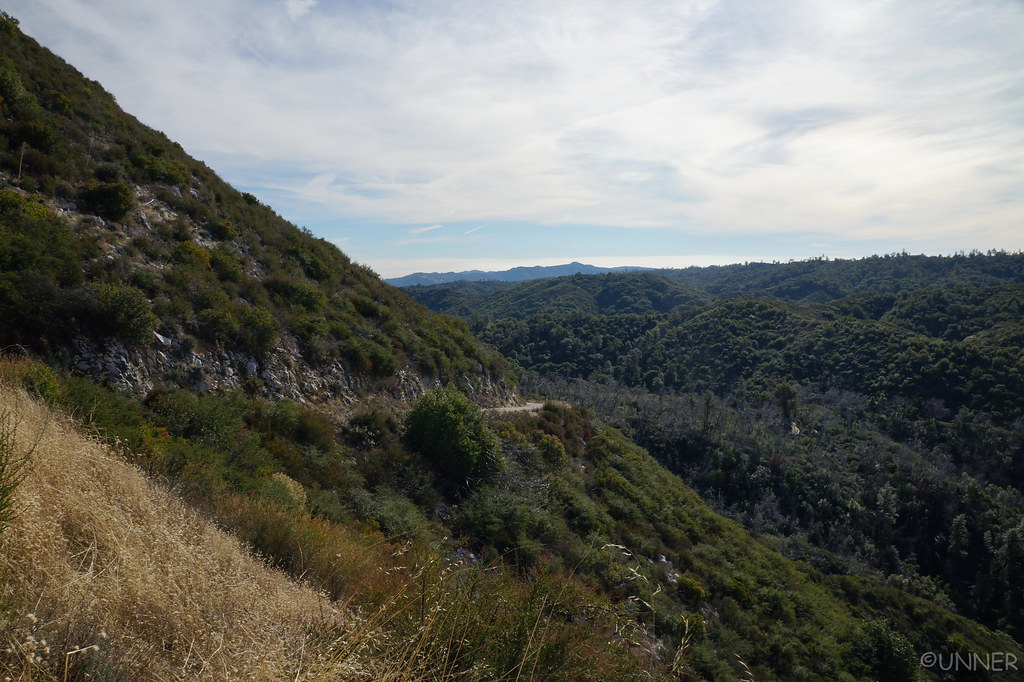
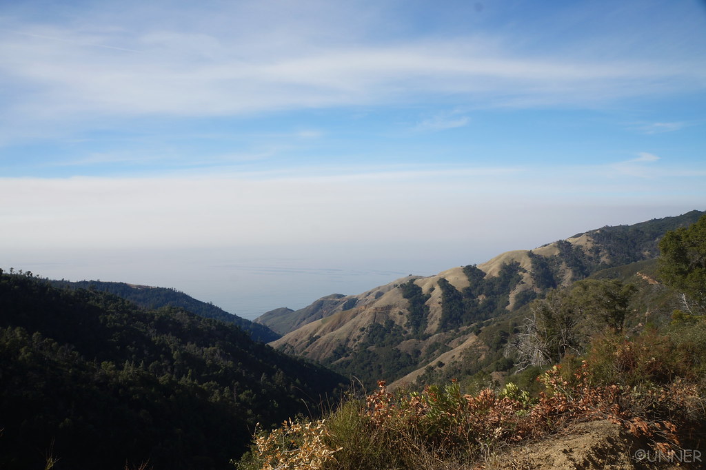
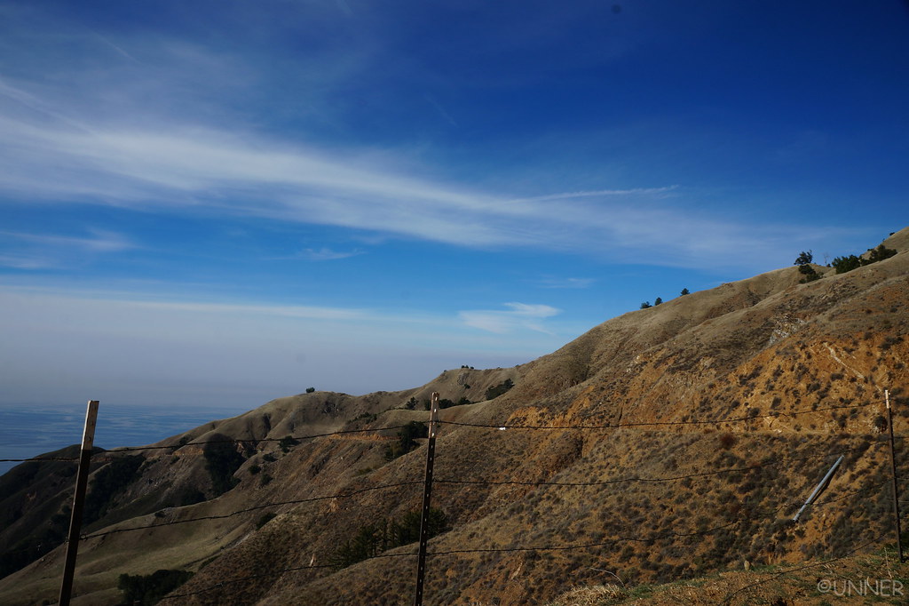
We made breakfast, and I ended up giving directions to a couple in an Audi Q5 with California tags who had pulled up to our campsite. We started off down the trail which would eventually lead us back to the PCH, on the other side of the rockslide. The road would switch from dirt to rough poorly kept pavement, but it was beautiful. You wind your way through the mountains, with the pacific ocean occasionally poking through.

DSC01123 by Unner Unner, on Flickr

DSC01124 by Unner Unner, on Flickr

DSC01130 by Unner Unner, on Flickr

DSC01134 by Unner Unner, on Flickr

The road started to get smoother, and that Audi showed up behind us. They were probably looking at my Alabama tags thinking “I can’t believe we got directions from a guy with Alabama tags…” I pulled off and let them pass as I knew they wanted to go a lot faster through the curves than I did in my lifted, armored 4Runner loaded down with hundreds of pounds of gear…

DSC01138 by Unner Unner, on Flickr

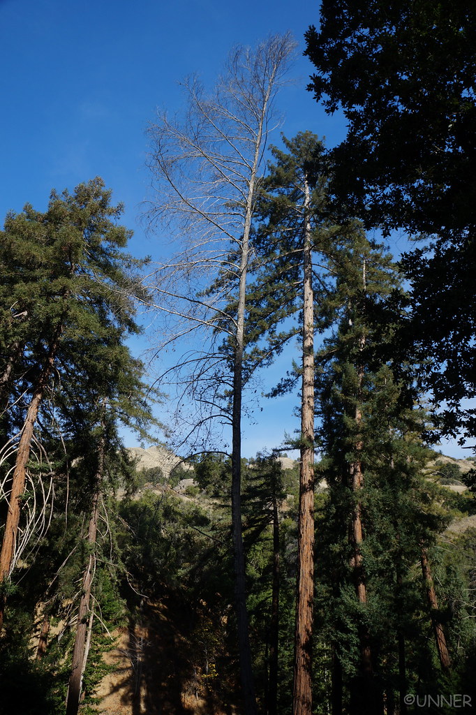
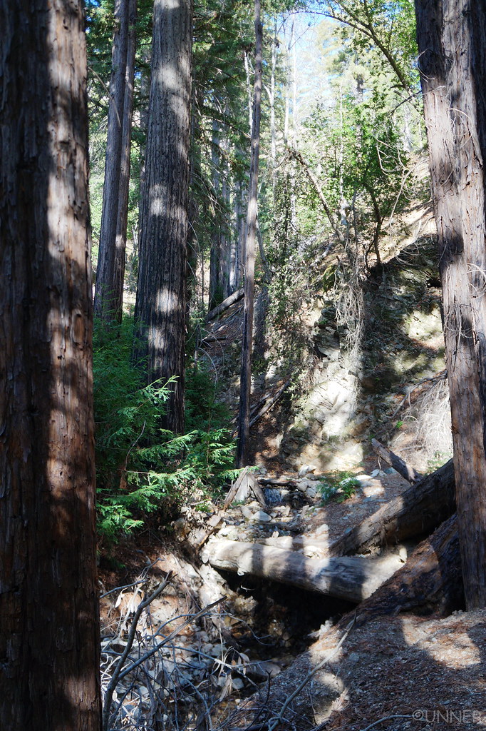
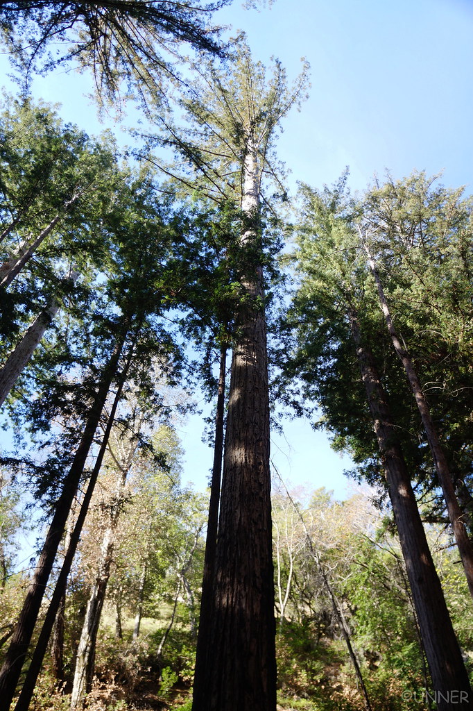
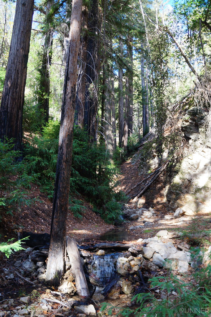
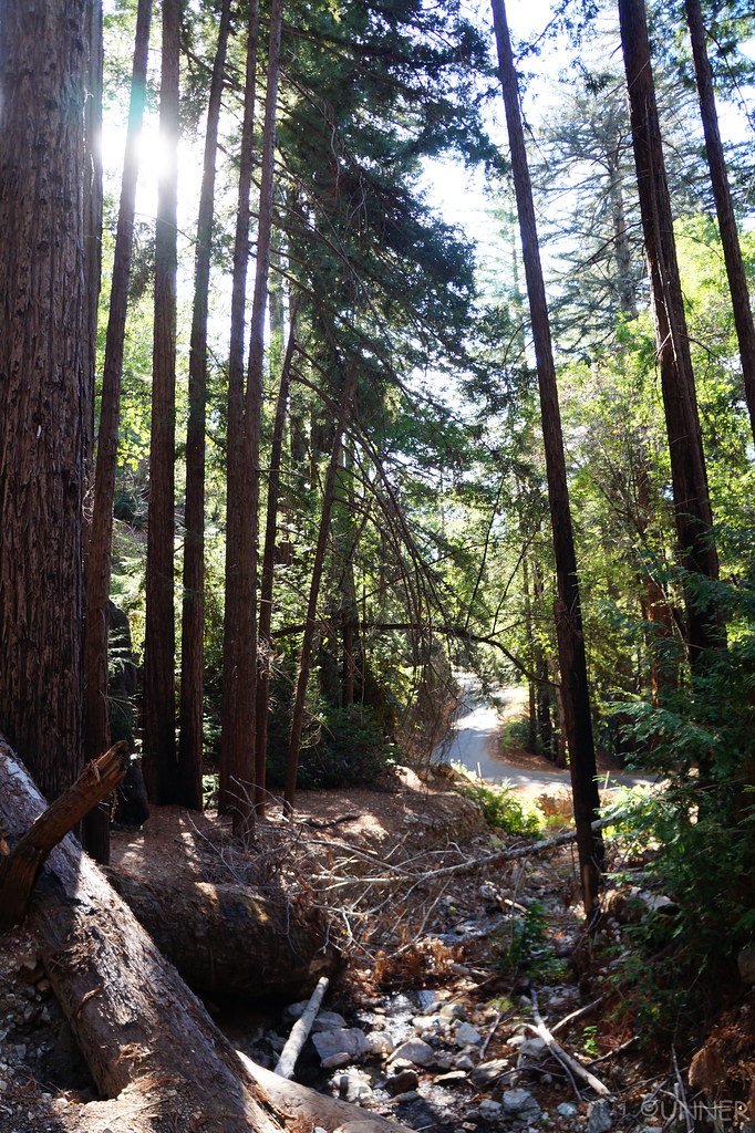
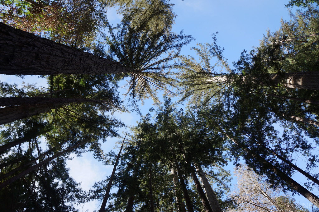
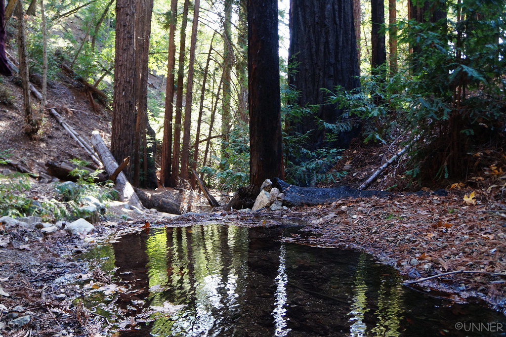
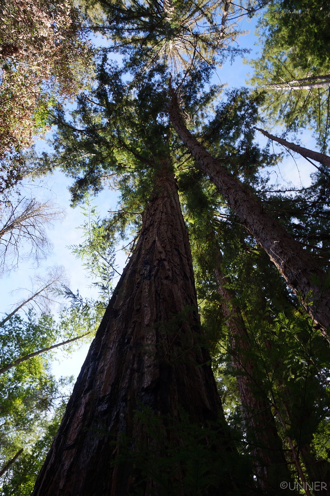
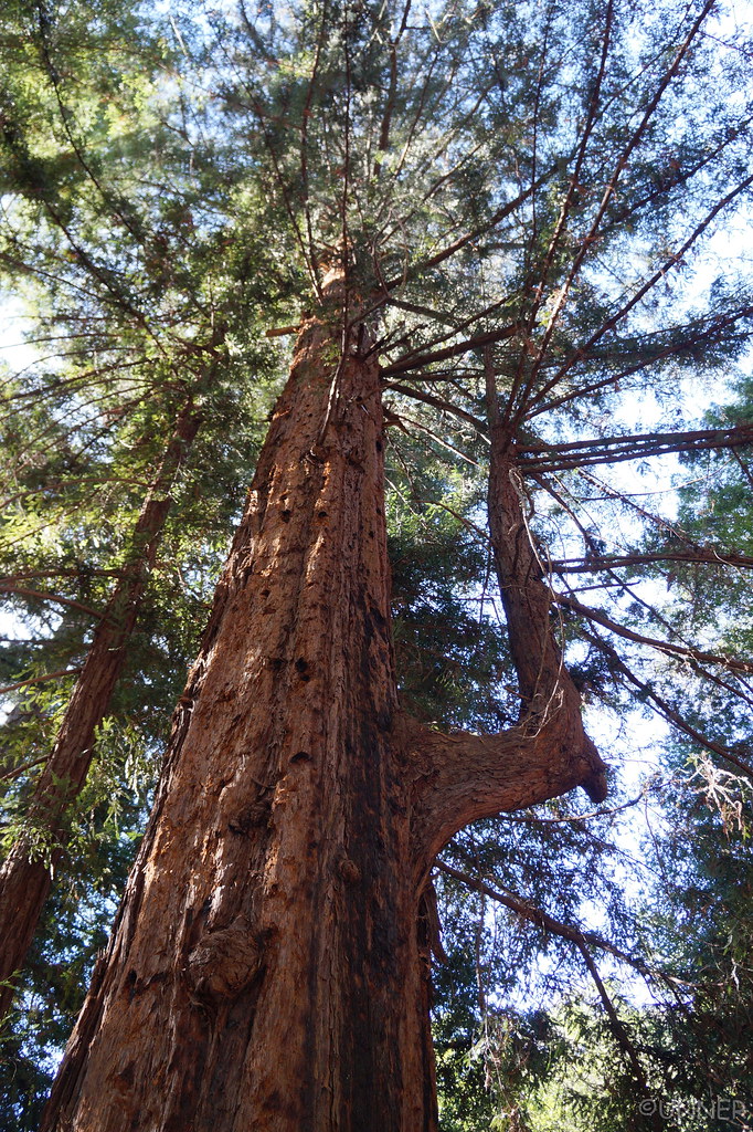
The road started to go downhill at a pretty good grade, and then I saw an area with a pull off and some huge trees like I’d never seen before. We pulled off again and went on a little excursion along a creek with some redwoods.

DSC01143 by Unner Unner, on Flickr

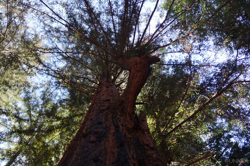
These trees are magnificent and huge. I’ve never seen a tree as tall as this, and these aren’t even the really huge ones like you’d find in the National Parks. These were just ones that were growing alongside the Pacific Ocean on a mountainside. Pictures do not do these trees justice.

DSC01146 by Unner Unner, on Flickr

DSC01147 by Unner Unner, on Flickr

DSC01150 by Unner Unner, on Flickr

DSC01151 by Unner Unner, on Flickr
 
DSC01152 by Unner Unner, on Flickr

DSC01173 by Unner Unner, on Flickr

DSC01182 by Unner Unner, on Flickr

DSC01185 by Unner Unner, on Flickr

DSC01188 by Unner Unner, on Flickr

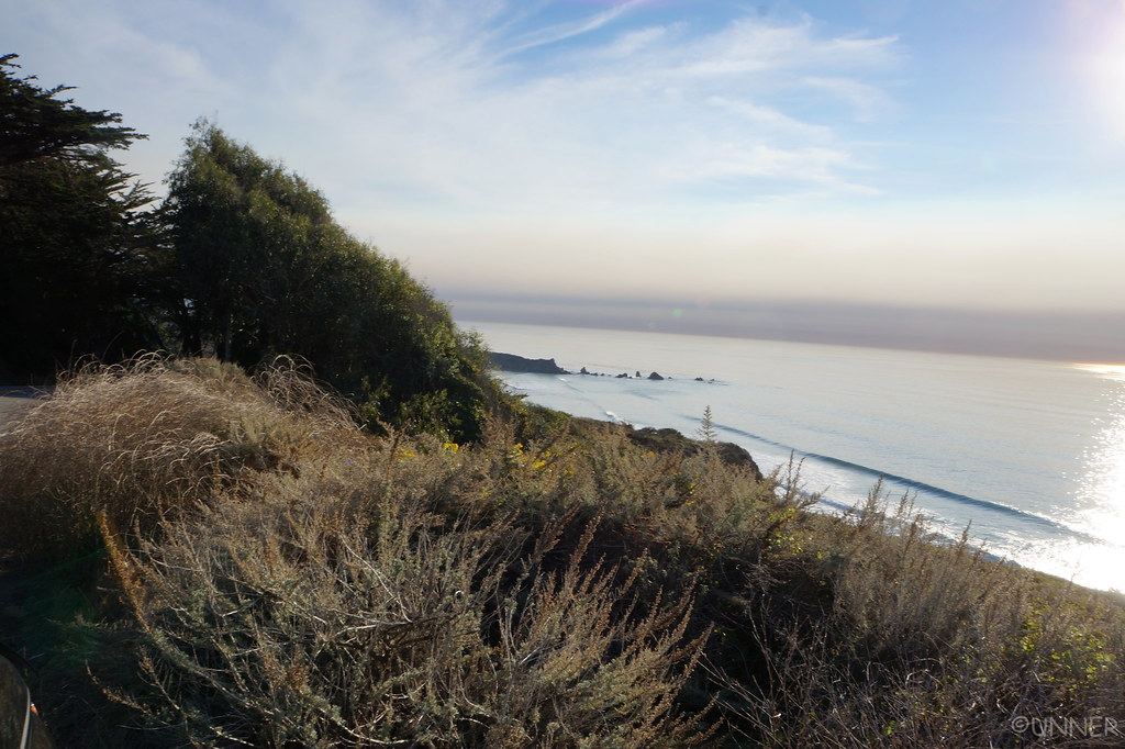
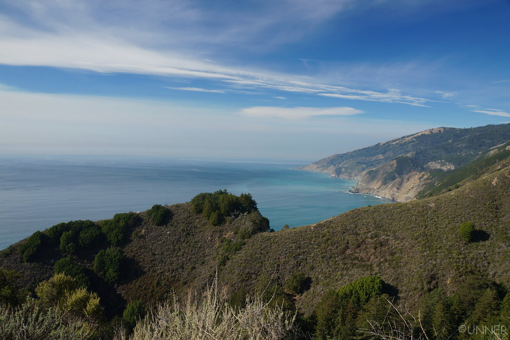
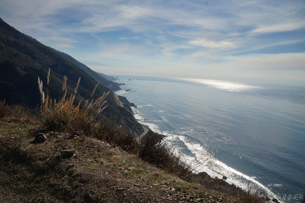
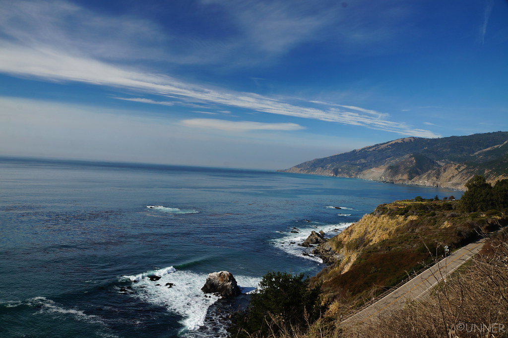
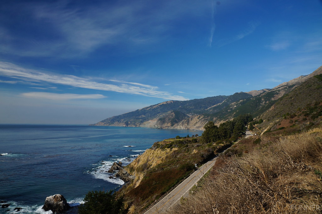
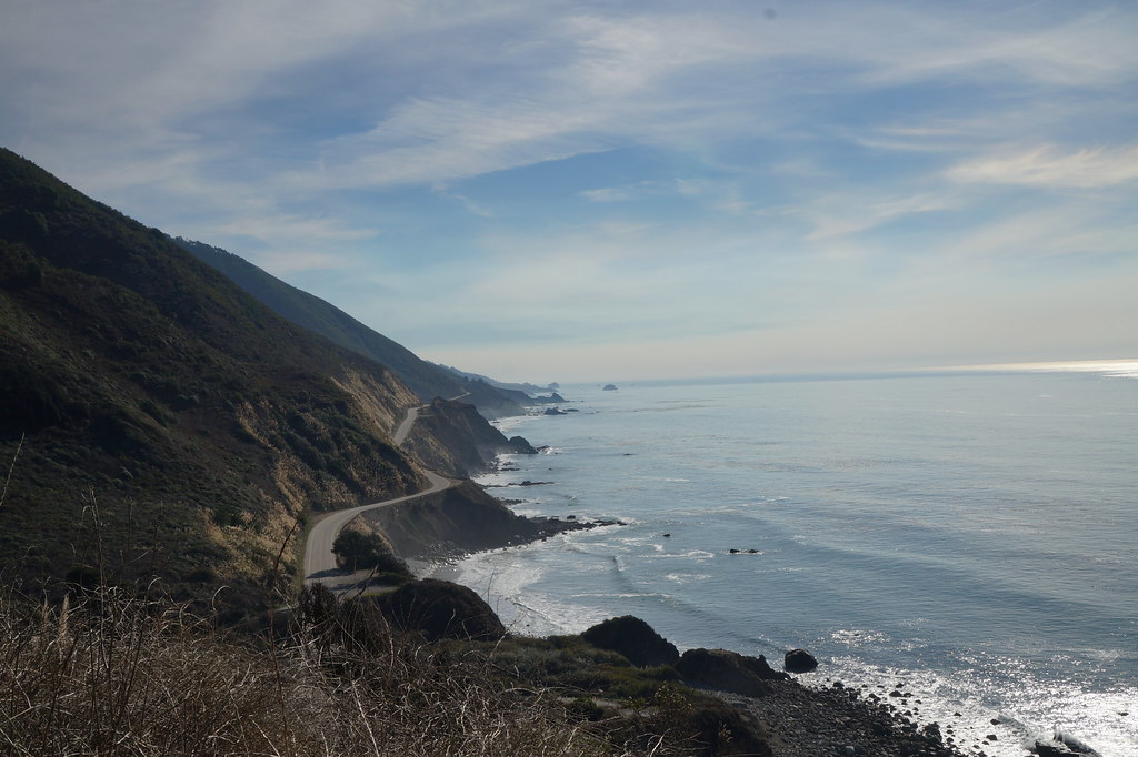
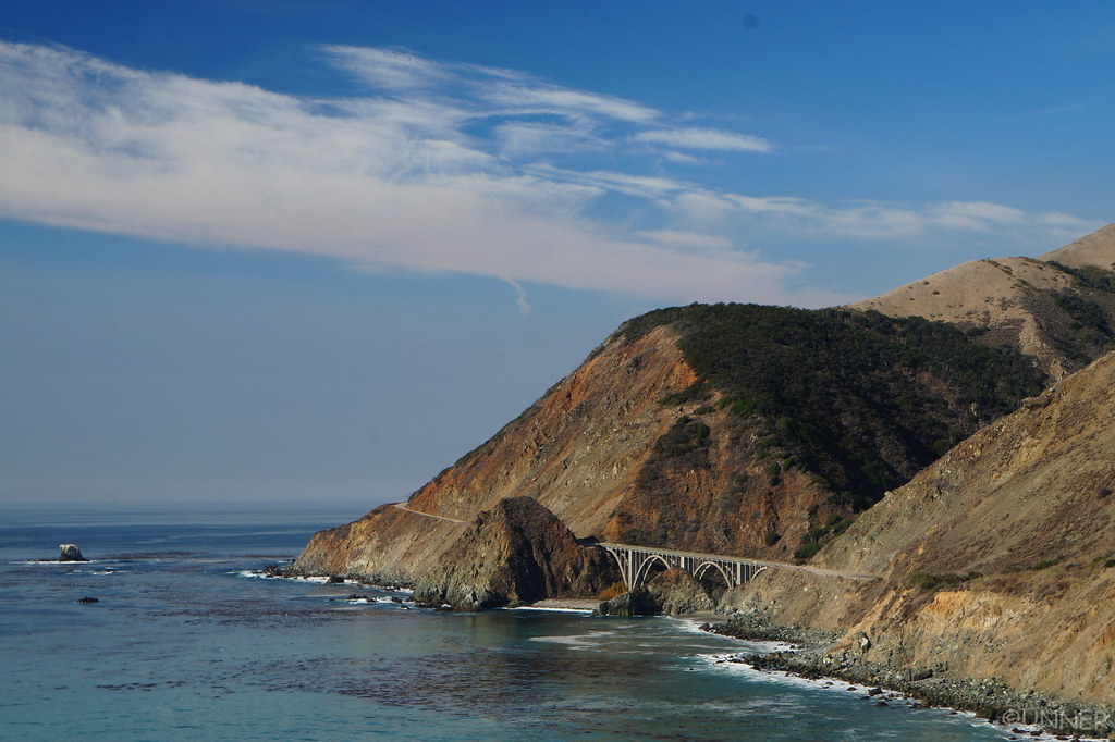
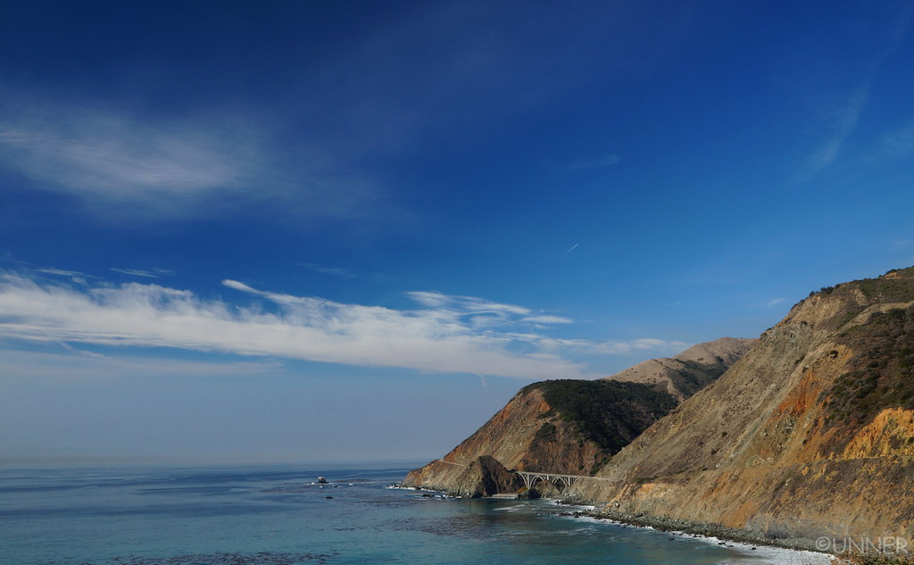
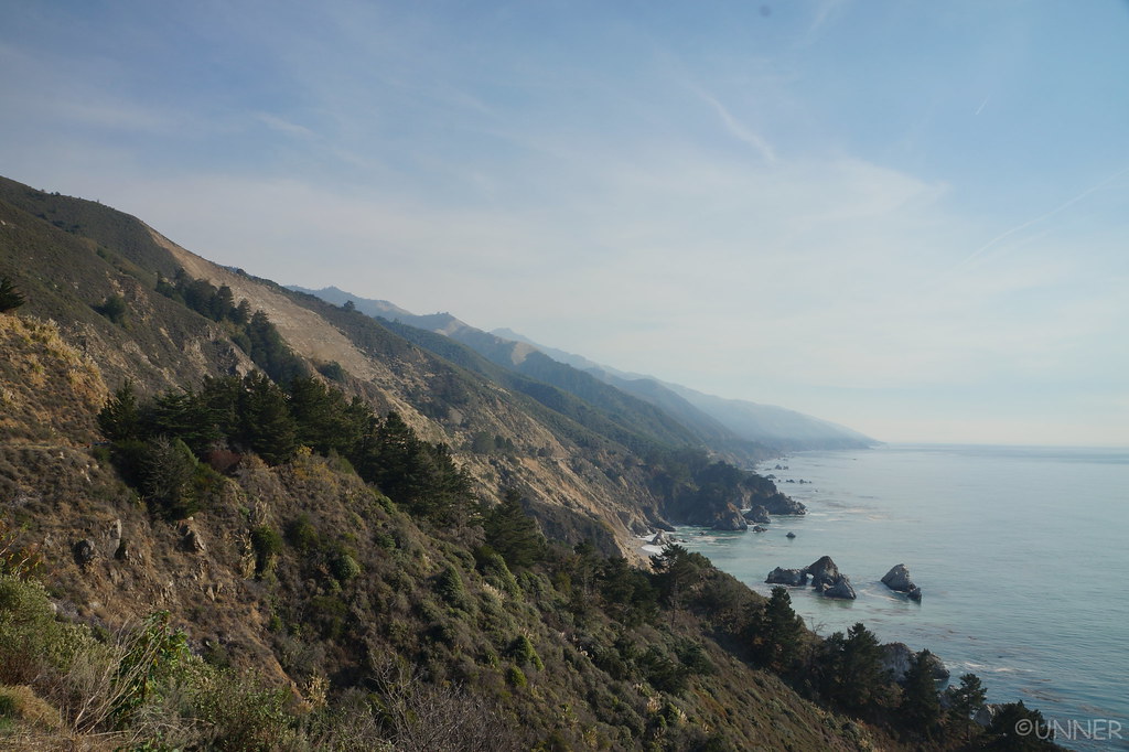
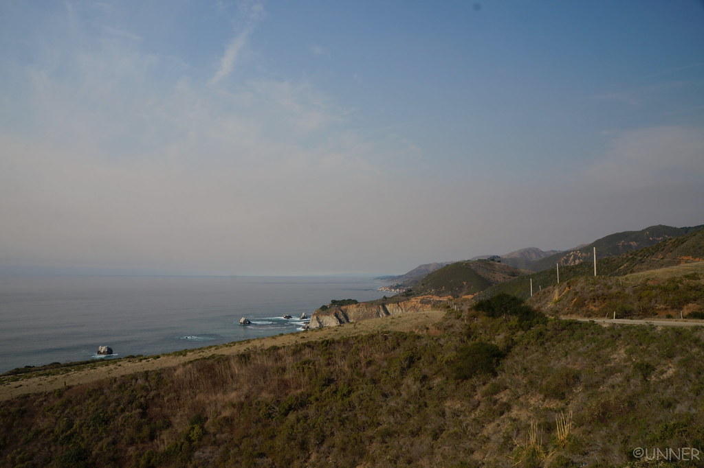
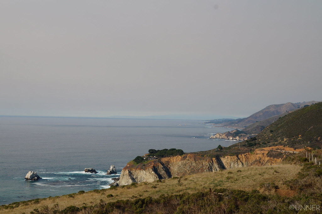
We continued onwards, and ended up on a road that overlooked the PCH. The water was very blue here.

DSC01212 by Unner Unner, on Flickr

DSC01193 by Unner Unner, on Flickr

DSC01196 by Unner Unner, on Flickr

DSC01200 by Unner Unner, on Flickr

DSC01202 by Unner Unner, on Flickr

DSC01207 by Unner Unner, on Flickr

DSC01209 by Unner Unner, on Flickr

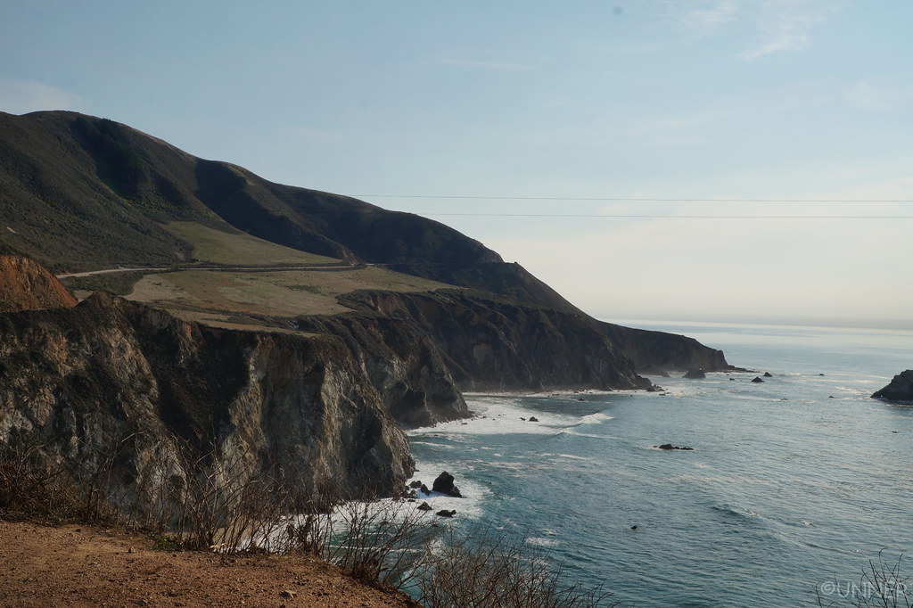
We could now see that this side of the PCH was different than the southern end. This end had many more cliffs and shear drops into the ocean. It was beautiful. We passed through the Big Sur area, and were having a great time taking in the scenery.
DSC01213 by Unner Unner, on Flickr

DSC01214 by Unner Unner, on Flickr

DSC01216 by Unner Unner, on Flickr

DSC01219 by Unner Unner, on Flickr

DSC01224 by Unner Unner, on Flickr

DSC01228 by Unner Unner, on Flickr

We took the PCH all the way into Monterey, where we drove around for awhile looking for a place to get dinner. After driving to Pebble Beach accidentally, and not finding anywhere we wanted to eat at we finally settled on Alvarado Street Brewery. I parallel parked along the curb, and my girlfriend pointed out to me that some people in a 4th gen were checking out Unner.

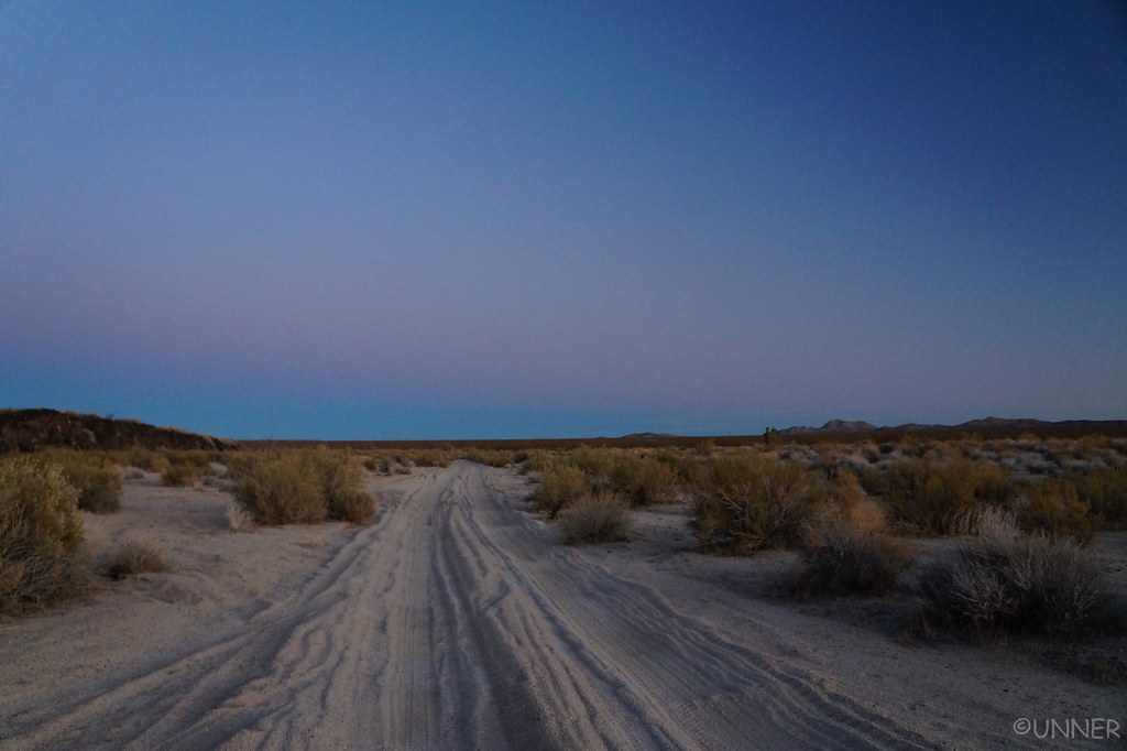
I got the “Loco Moco”, which was pretty good.
2018-05-08_12-12-40 by Unner Unner, on Flickr

Over dinner we figured out our plans for the rest of the day. I wanted to do Mojave Road next, but it was pretty far away from where we were at. We were contemplating which we would rather do, Mojave Road, or Joshua Tree. We decided on Mojave Road, and after dinner we got in the truck and headed out. We would be running the Mojave Road backwards compared to most people, we would be going West to East. From Monterey to the beginning of the west end of the trail it was something like 6.5 hours, 400 miles, and we would need to stop for gas a few times and restock on supplies.
We made pretty good time and didn’t hit any traffic, but it was still a long drive. It was starting to get real cold out as the sun went down, and I had to stop and change out of the shorts I was wearing… Probably around 2 AM we got to Barstow. I pulled into a truck stop and got gas as I figured this would be the last gas station we would see until we came out on the other end of the Mojave road. We hopped onto interstate 15 to cover the last few miles of pavement needed. We got off at our exit and onto Yermo Road, which might have been the roughest paved road I have ever driven on. It was miserable. So bad, that I drove on the dirt shoulder instead of the road because on the road it felt like it was going to shake the truck to pieces. I ran Tin Cup Pass without airing down, at a full 40 PSI. Yermo road was way harsher…

She was already very asleep, and I was very tired. I wanted to make it a little ways away from the interstate and onto the trail where I’d feel safer. We drove probably 7 miles onto the Mojave Road. I wasn’t aired down and the sand was pretty soft in places. With skinny tires and full PSI I was a little worried about sinking into the sand and getting stuck, so I kept the speed as high as I could until I found a place that we could call home for the night.
I picked a spot and parked the truck. She woke up and looked at the temperature reading in the truck. 15* is what it said. The temperature had dropped tremendously once we got into the real desert. It was certainly cold as we unpacked the truck as fast as we could, but once we were inside the 4Runner and into the Teton Mammoth 0°F Double bag I had bought we were no longer cold. I seriously can’t say enough good things about this bag. It’s a great size for 2 people, feels very quality, and is very very warm. The only 2 nights I was cold the entire trip were the first night where I slept in the driver seat and nearly froze to death in New Mexico, and one night where I fell asleep outside of the sleeping bag.

Falling asleep was not a problem tonight, as it was probably 3 AM before we got to bed…
 
Day 7 - Mojave Road

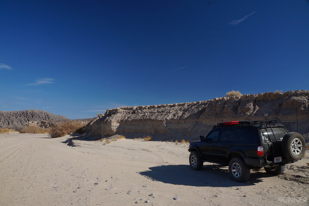
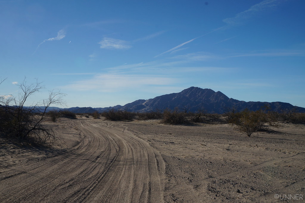
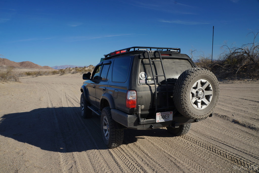
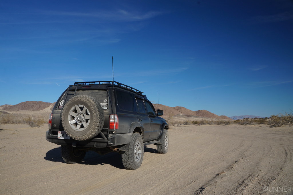
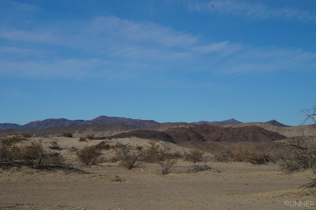
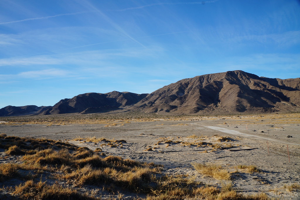
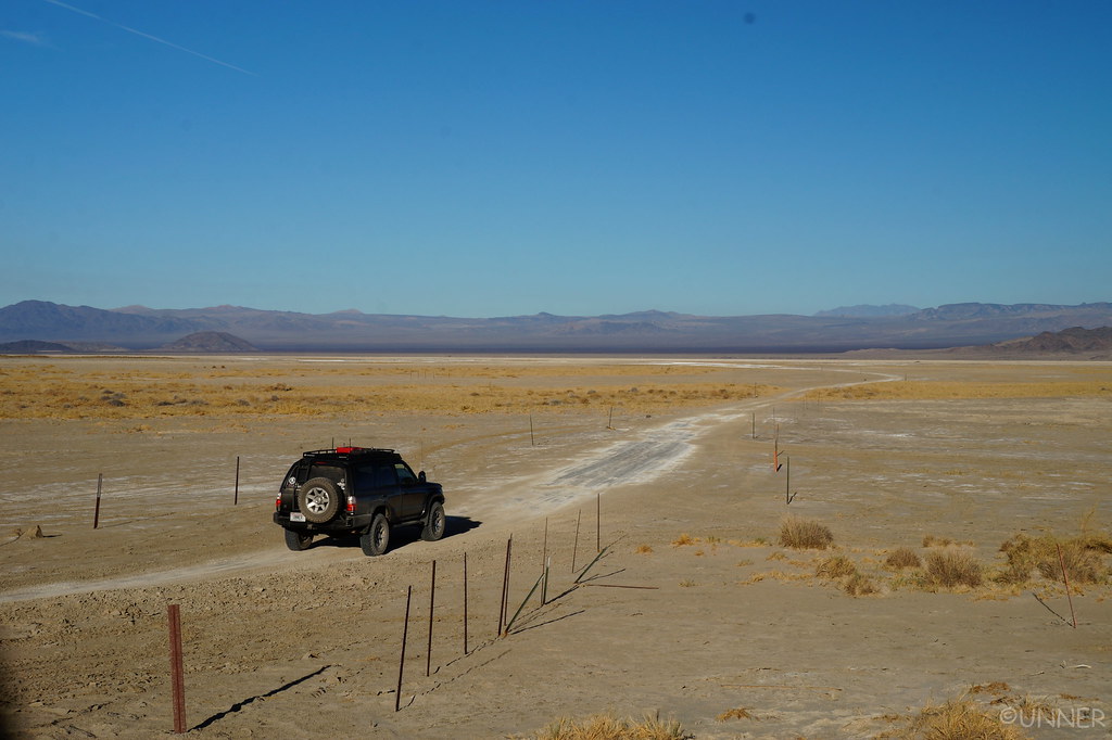
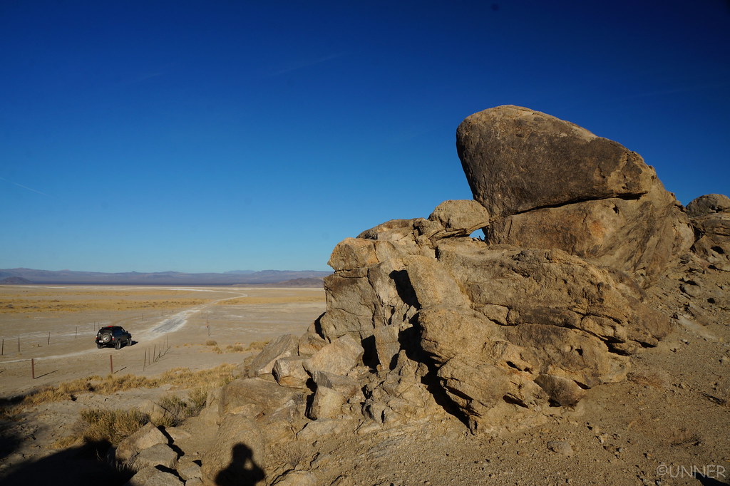
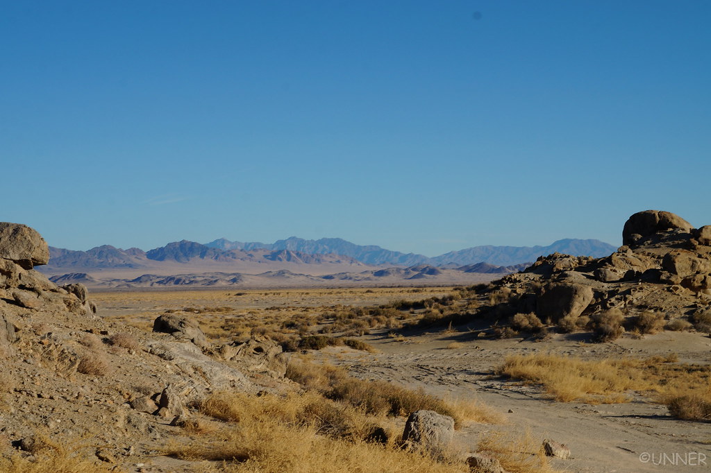
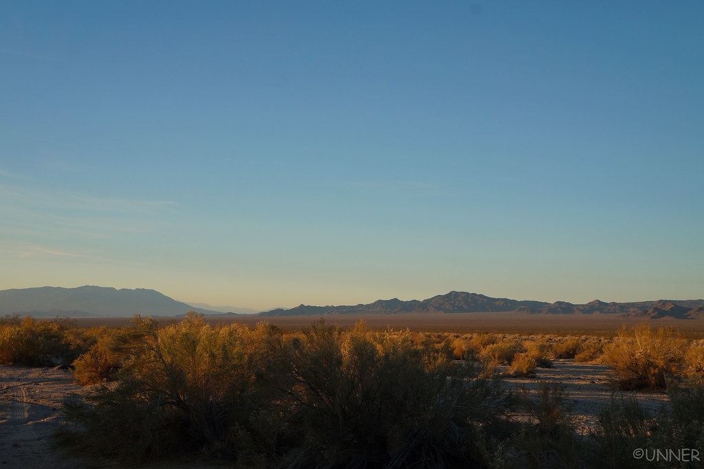
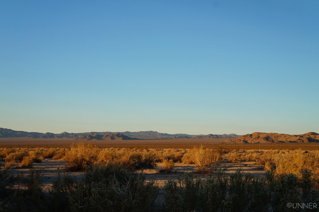
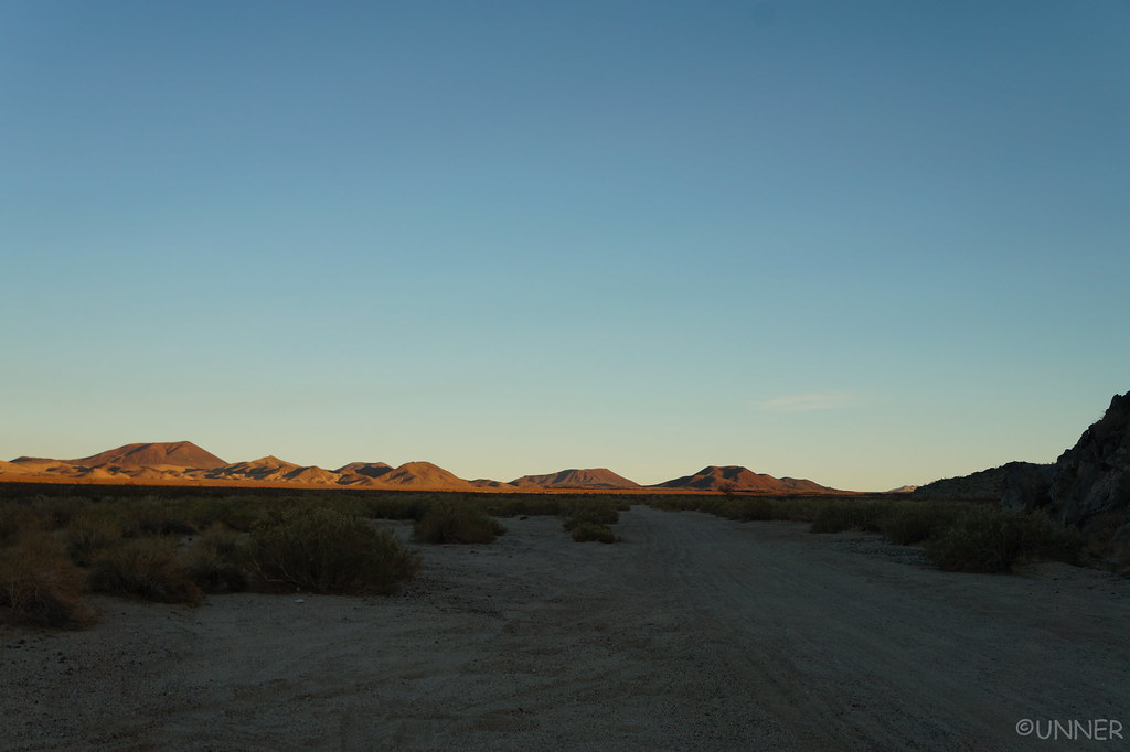
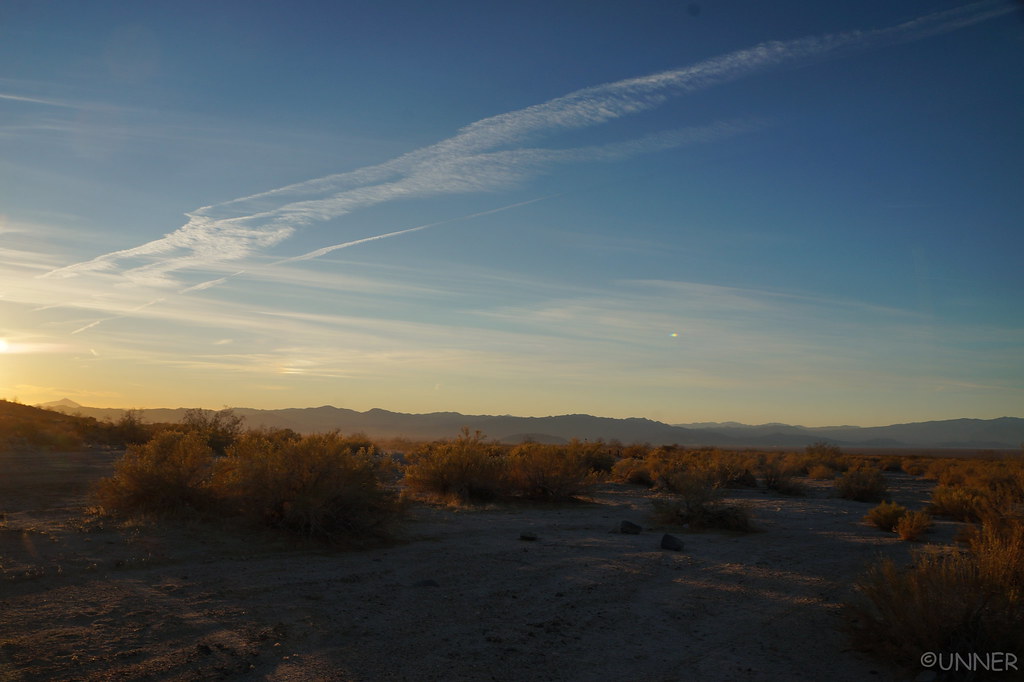
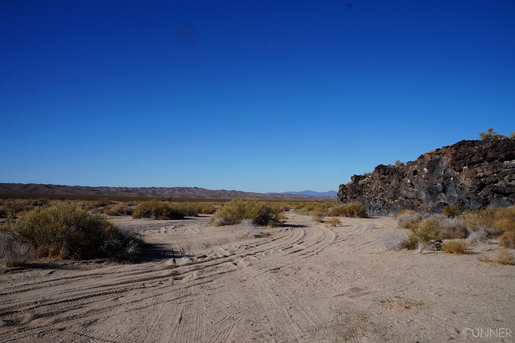
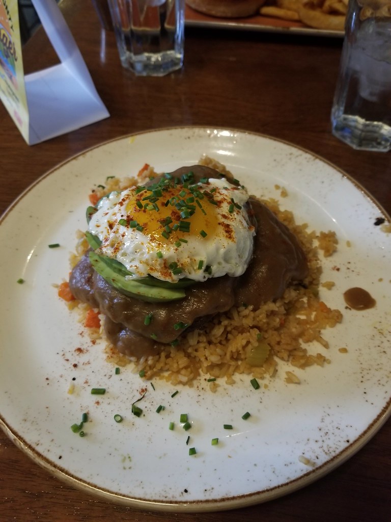
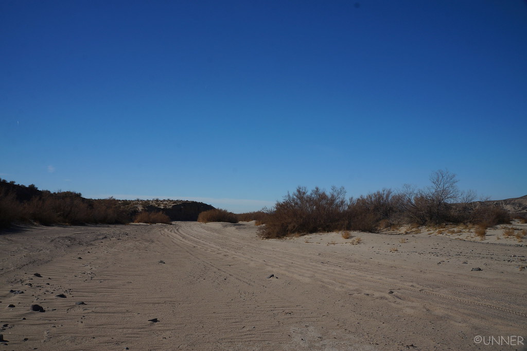
We woke up in the morning to views much different than the days before.

DSC01231 by Unner Unner, on Flickr

DSC01235 by Unner Unner, on Flickr

DSC01237 by Unner Unner, on Flickr

DSC01238 by Unner Unner, on Flickr

DSC01239 by Unner Unner, on Flickr

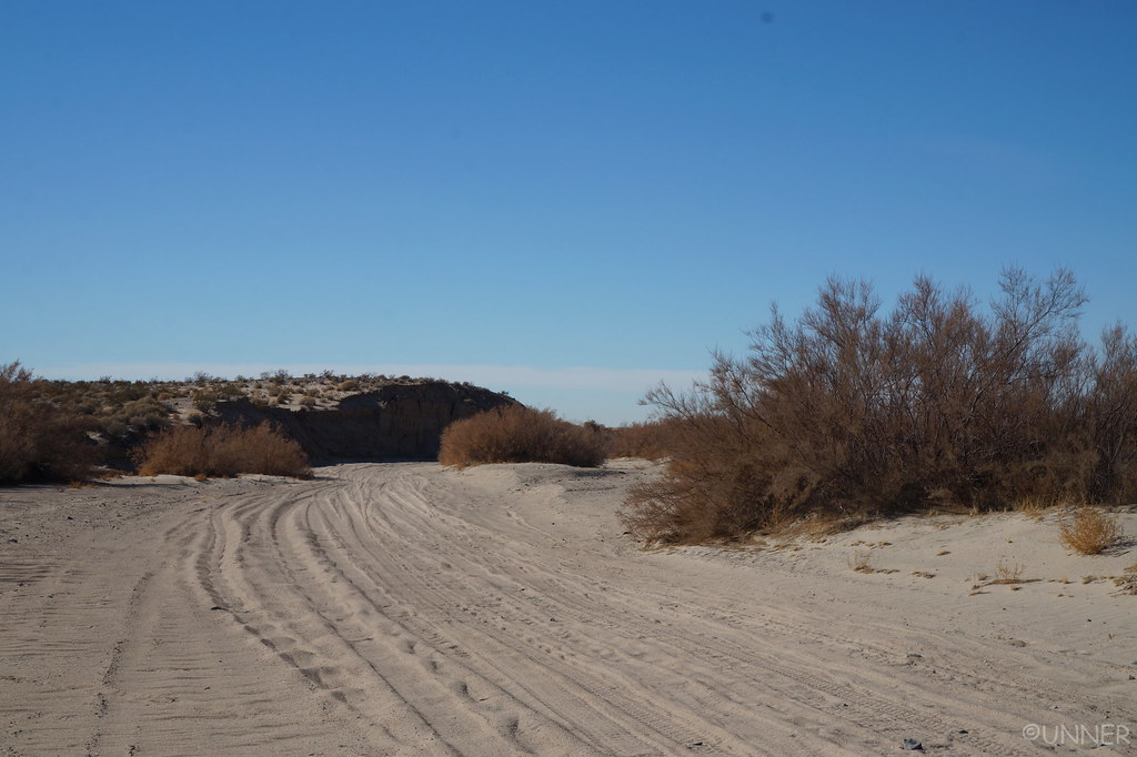
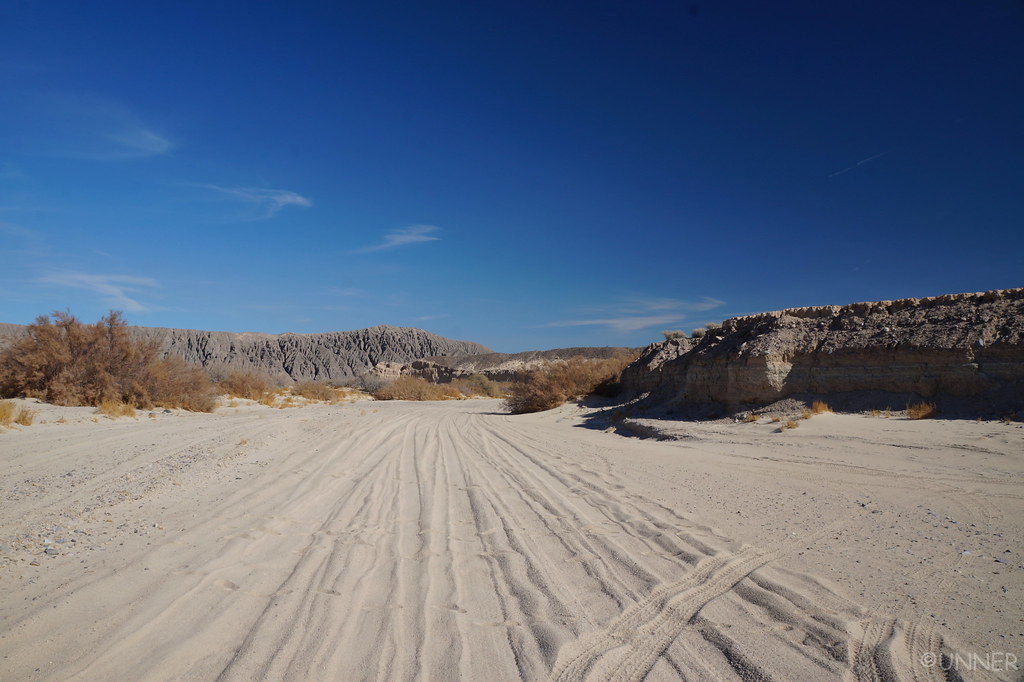
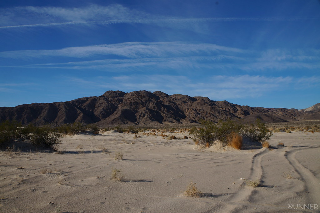
We got our stuff together, aired down, and got on the trail. We had something like 135 miles of Mojave trail left to cover. We would camp tonight, hopefully somewhere around halfway or maybe a tad past halfway. We started back into the soft sand, which I was more comfortable with being aired down, and being able to see now. Trail finding can be pretty difficult on the western end of the Mojave road. I would be driving and then look at the GPS and realize we were way off the GPS path. It always came back together, but you had to stop and think about which fork to take multiple times.

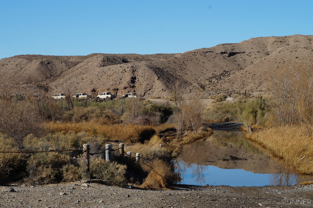
After bombing through the soft sand we showed up to the water crossing. I knew it hadn’t rained in SoCal in forever, and the water wasn’t moving so I didn’t think it would be too deep. From what I had read people said stuff like “It came halfway up the tires on my JK, and I have 35’s.” So I was expecting 18” of water at most right now. Since we were going west to east we first went through the smaller “puddle” portion of it. That seemed like it was probably about 18” deep, so I wasn’t too worried about the second part.
Before we started across the second part I asked her if she wanted to video us driving through the river. She said “No, I just want to enjoy it.” We started off into it and it just kept getting deeper. And deeper. And deeper. About halfway through I was legitimately worried. If it got much deeper we might have a serious problem. We had a good bow wake going in front of us, so I kept up with that. The absolute last thing I wanted to do was hydro lock my motor 3,000 miles from home.

I was sweating bullets at the end, and it’s probably good she didn’t video it. Because it would just be a video of expletives… Finally the front end started to rise from the river after what seemed like an hour, and I knew we would be safe. As the front end starts to rise, this decked out 2nd gen Tacoma comes flying up to the river with the driver smoking a cigar. The guy pulls up as we pull out of the river and yells something to the effect of “How’d you like that?!” I told him it was much deeper than I was expecting, and he said he’s part of a military convoy with 7 more trucks behind him. A few moments later several more 2nd gens pull up behind him, along with several Humvee’s.

These Tacoma’s were all decked out, Pelfreybilt bumpers front and rear, Fox suspension with resis, 33” KM2’s, sliders, etc. Seemed like a pretty cool job to beat on these in the desert…

DSC01242 by Unner Unner, on Flickr

They all proceed to cross the river, and we stayed at watched the Tacomas and Humvees cross, while we let the 4Runner continue draining out of the skids, frame rails, etc. I got some water in through the back doors, but it wasn’t too bad and dried fairly quickly.

DSC01244 by Unner Unner, on Flickr

They all made it through the river and we continued on our way. The water in the river when we crossed was probably about as deep as my 33’s are tall. It was definitely the deepest water I’ve ever driven through. I’ve since learned that there is a berm on both sides of the crossing that you can use to put your passenger side up a little higher and keep it from sucking water if you’re on small tires, or the water is high.

The scenery here is awesome, lots of colors in the rocks.

DSC01245 by Unner Unner, on Flickr

DSC01246 by Unner Unner, on Flickr

DSC01247 by Unner Unner, on Flickr

DSC01248 by Unner Unner, on Flickr

DSC01249 by Unner Unner, on Flickr

DSC01250 by Unner Unner, on Flickr

DSC01253 by Unner Unner, on Flickr
 
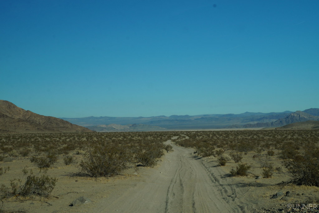
The route-finding got a little easier after the river crossing, but the GPS definitely made it easier.

DSC01254 by Unner Unner, on Flickr

DSC01255 by Unner Unner, on Flickr

DSC01257 by Unner Unner, on Flickr

DSC01259 by Unner Unner, on Flickr

DSC01260 by Unner Unner, on Flickr

DSC01261 by Unner Unner, on Flickr

DSC01263 by Unner Unner, on Flickr

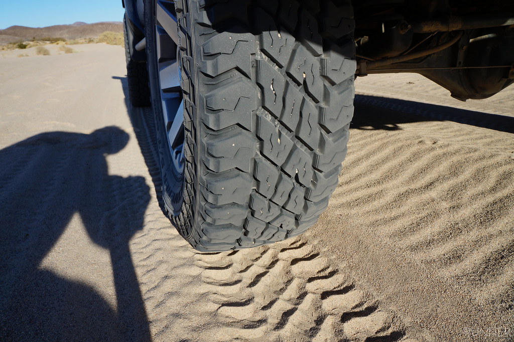
The ST Maxx’s had done well in everything thrown at them so far.

DSC01264 by Unner Unner, on Flickr

DSC01266 by Unner Unner, on Flickr

DSC01267 by Unner Unner, on Flickr

DSC01269 by Unner Unner, on Flickr

Here we started getting into some whoops. With all the stuff in the back, and my suspension at the time we had to keep our speed right around 25 mph as that was the sweet spot. I wish I could go out there now with the Kings. They eat this kind of stuff up.

DSC01270 by Unner Unner, on Flickr

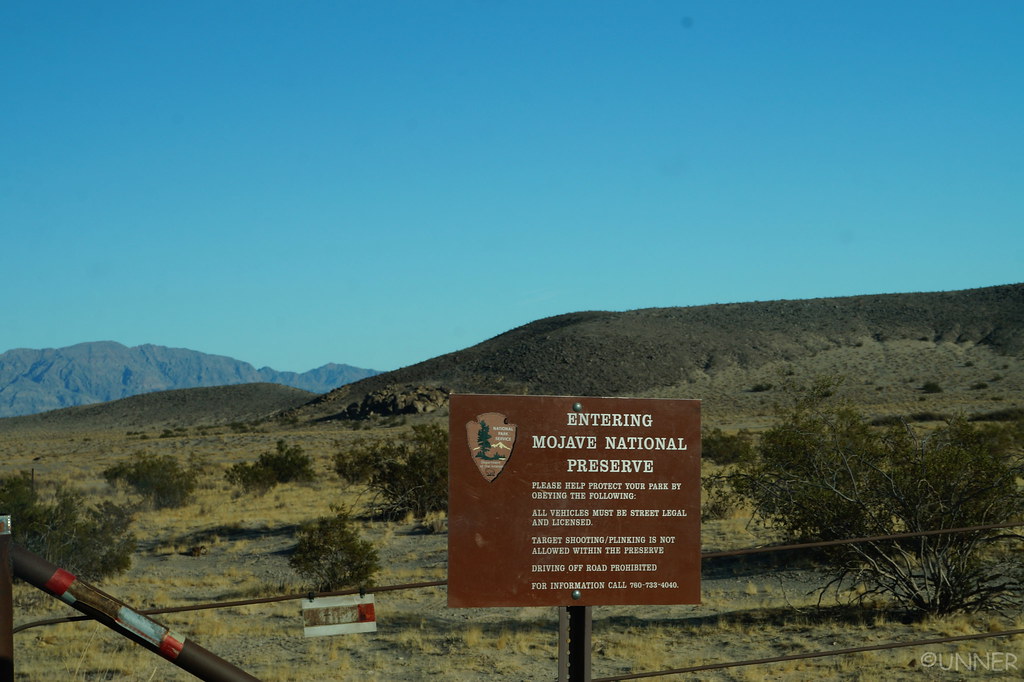
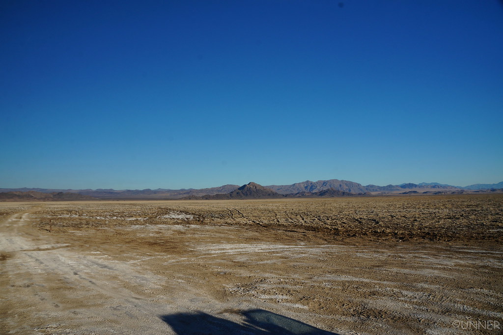
We now entered the Mojave National Preserve, and then we made it to Soda Lake, the dry lake bed the Mojave Road crosses.

DSC01272 by Unner Unner, on Flickr

DSC01273 by Unner Unner, on Flickr

DSC01274 by Unner Unner, on Flickr

DSC01277 by Unner Unner, on Flickr

DSC01278 by Unner Unner, on Flickr

DSC01279 by Unner Unner, on Flickr
 
DSC01282 by Unner Unner, on Flickr

DSC01284 by Unner Unner, on Flickr

DSC01287 by Unner Unner, on Flickr

DSC01288 by Unner Unner, on Flickr

DSC01293 by Unner Unner, on Flickr

DSC01296 by Unner Unner, on Flickr

DSC01298 by Unner Unner, on Flickr

DSC01300 by Unner Unner, on Flickr

DSC01306 by Unner Unner, on Flickr

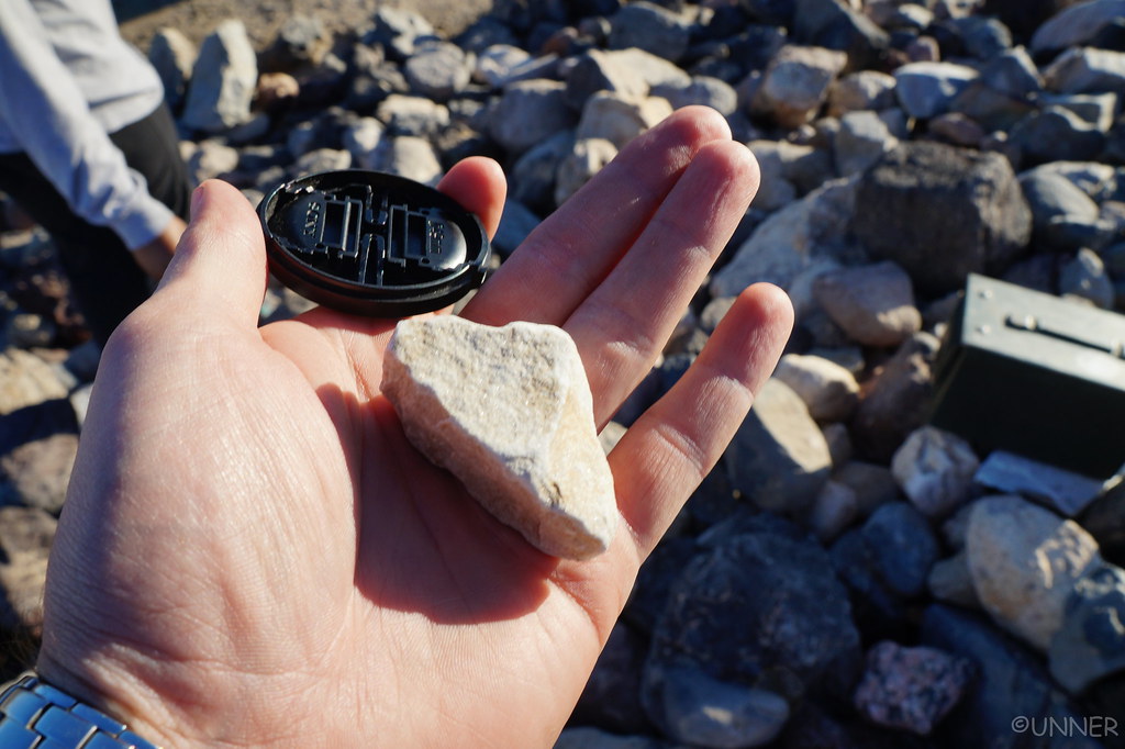
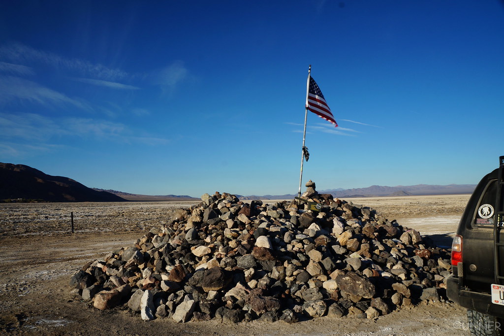
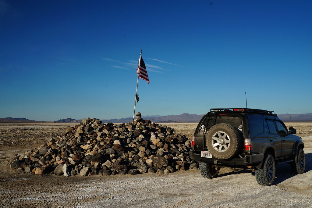
We made it to the traveler’s monument which is inside of the dry lake bed. Most people grab a rock at the beginning of the trail and leave it at the monument for good luck. We took it one step farther. I had forgotten to grab a rock before leaving Alabama, so I had called my girlfriend on the way and told her, “Grab a rock and stick it in your backpack. We’ll need it in California.” She was probably confused, but we left our Alabama rock atop the pile, and read the plaque with the message for the travelers on it.

DSC01311 by Unner Unner, on Flickr

If you ever do the Mojave Road, make sure to stop at the Travelers Monument, and read the plaque. The quote on it is truly inspirational, and you’ll never forget it. I have a picture of it, but don’t want to ruin the surprise for anyone.

DSC01314 by Unner Unner, on Flickr

DSC01323 by Unner Unner, on Flickr

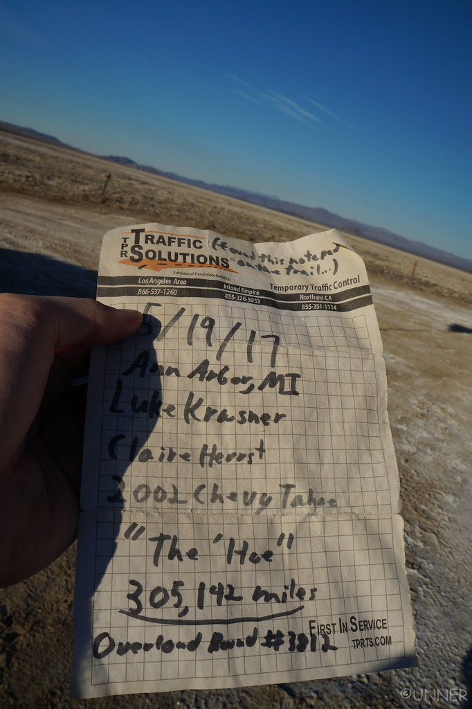
I can’t believe a Chevy made it to 300k miles…

DSC01316 by Unner Unner, on Flickr

I wish people would stay on the trail…

DSC01318 by Unner Unner, on Flickr

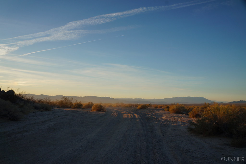
The sun started setting, as it does quite early in December unfortunately, so we started thinking about a campsite. We had no real plans on where we were staying tonight, so we just decided we’d know the spot when we saw it.

DSC01329 by Unner Unner, on Flickr

DSC01330 by Unner Unner, on Flickr

DSC01331 by Unner Unner, on Flickr
 
DSC01332 by Unner Unner, on Flickr

DSC01335 by Unner Unner, on Flickr

DSC01336 by Unner Unner, on Flickr

DSC01338 by Unner Unner, on Flickr

DSC01341 by Unner Unner, on Flickr

DSC01346 by Unner Unner, on Flickr

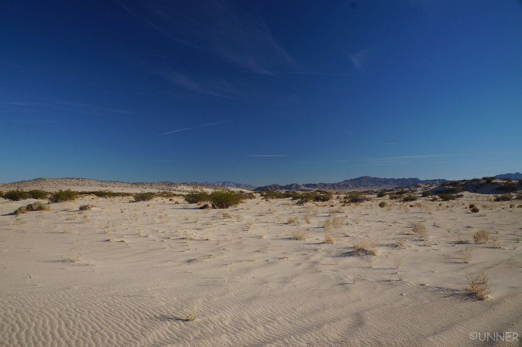
The sand is actually a lot of fun to drive in.

DSC01351 by Unner Unner, on Flickr

DSC01353 by Unner Unner, on Flickr

DSC01354 by Unner Unner, on Flickr

DSC01360 by Unner Unner, on Flickr

DSC01365 by Unner Unner, on Flickr

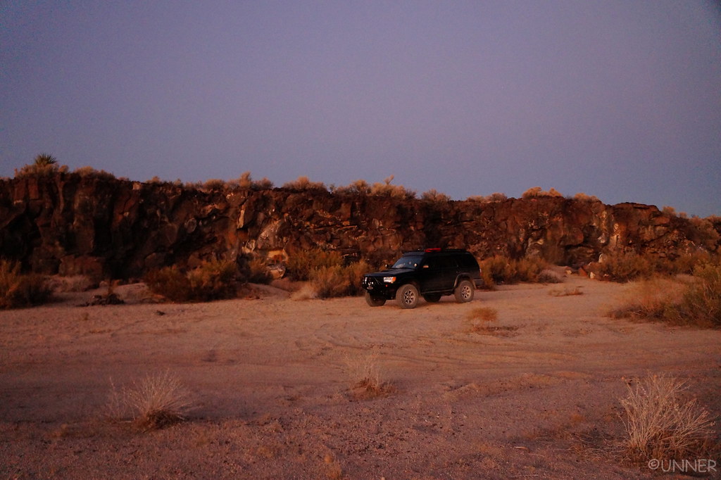
It was starting to actually get dark now, and we found a spot that backed up to a nice sized cliff thing that would shield us from the wind. We decided this was the spot, so we parked the truck and started setting up camp. I noticed what I thought was a Joshua Tree off in the distance, but I couldn’t really tell so I walked out there.

DSC01366 by Unner Unner, on Flickr

DSC01371 by Unner Unner, on Flickr

DSC01381 by Unner Unner, on Flickr

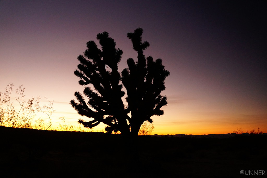
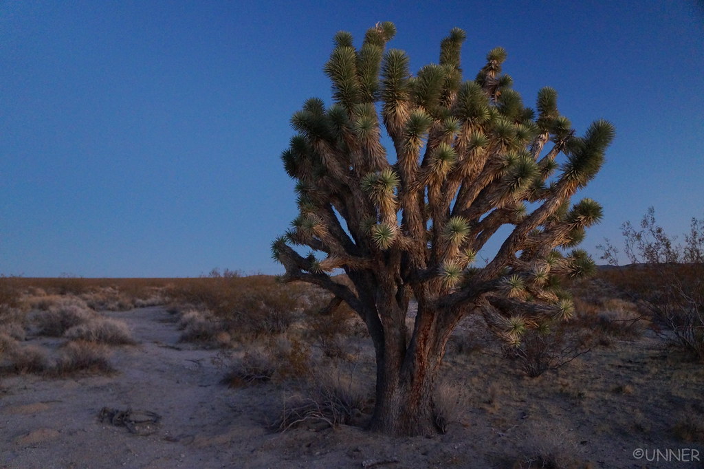
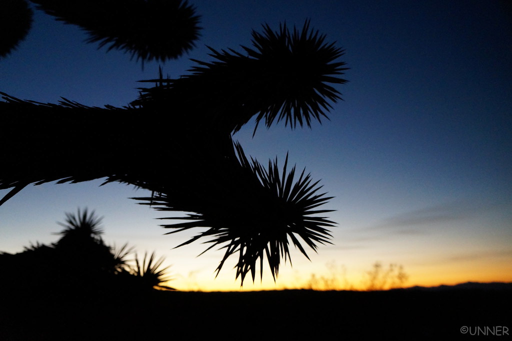
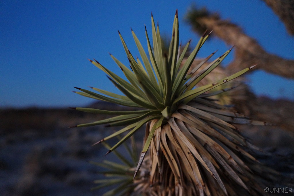
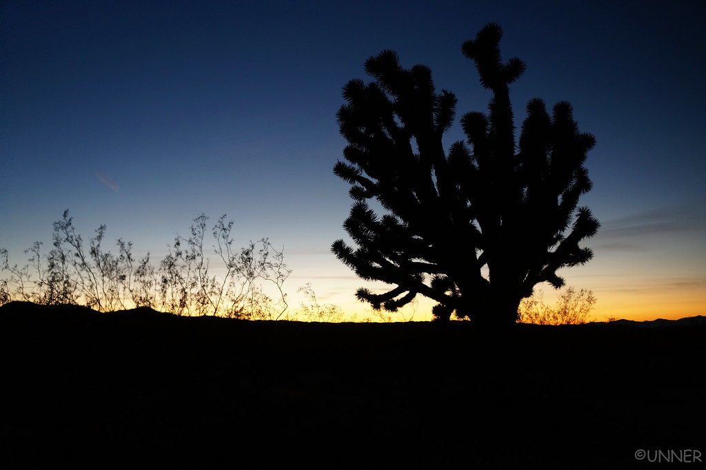
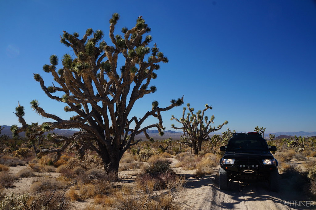
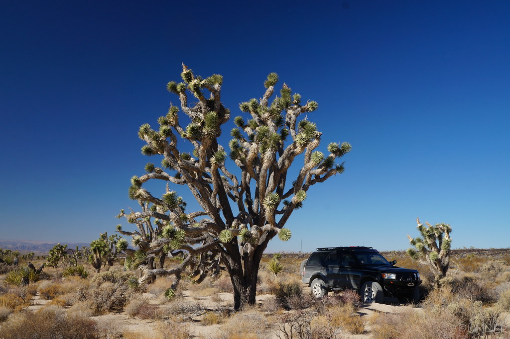
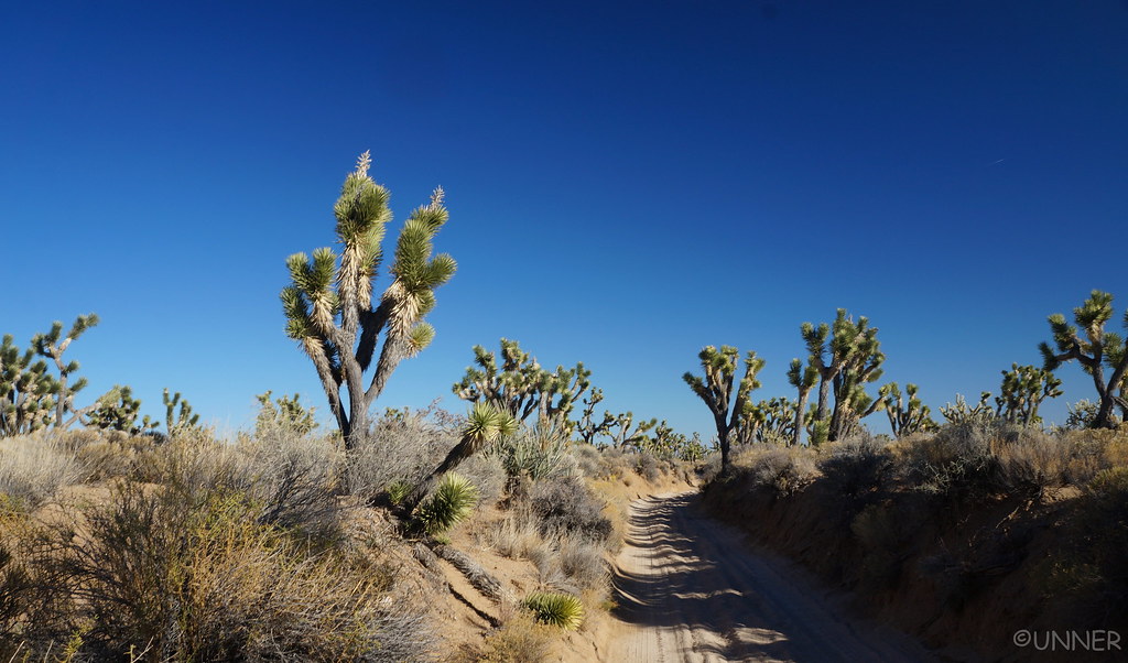
It sure was a Joshua Tree. I’d never seen one, and they’re really interesting trees. I spent several minutes checking it out and taking pictures of it in the setting sun. It was the first of many that we would see along the Mojave Road.

DSC01391 by Unner Unner, on Flickr

DSC01393 by Unner Unner, on Flickr

DSC01402 by Unner Unner, on Flickr

DSC01407 by Unner Unner, on Flickr

DSC01409 by Unner Unner, on Flickr

DSC01415 by Unner Unner, on Flickr
 
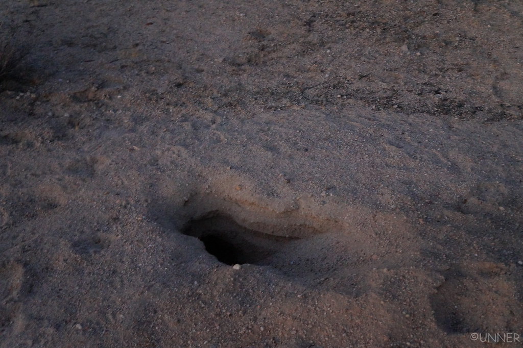
Something lived down in here…

DSC01403 by Unner Unner, on Flickr

DSC01405 by Unner Unner, on Flickr

I walked back to the truck and we watched the sun set across the desert we had just traversed.

DSC01363 by Unner Unner, on Flickr

DSC01369 by Unner Unner, on Flickr

DSC01424 by Unner Unner, on Flickr

After sunset, we started on dinner. It was cold again tonight, so we ate in the front seats again, watching the stars come out.

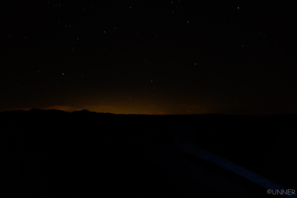
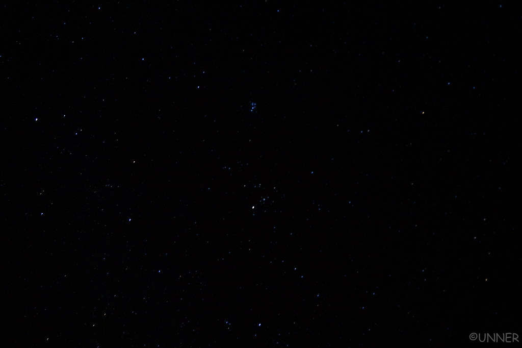
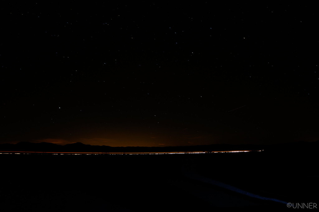
We sat there after dinner, looking at the stars, and also trying to figure out what all the light pollution was coming from out to our west. I still don’t know what causes all that light pollution. I heard some scratching coming from the engine bay and figured there was a mouse in there. I didn’t want him chewing up any wires, so I popped the hood to chase him out. It was a mouse, and he just looked at me, crawling around under the fuse box. I chased him away and decided I’d leave the hood open tonight so it doesn’t trap the warmth of the motor and hopefully prevent him from coming back. I got back in the 4Runner, and talked for a few minutes. From my left side I hear what sounds just like human footsteps on sand/gravel coming from outside the 4Runner. My heart rate went through the roof as there shouldn’t have been anyone near us, and I couldn’t think of an animal that would sound like that or come that close to the truck. I immediately locked the doors and grabbed my flashlight to see what it was. No animal, human, or tracks were to be found.

After waiting for awhile and not hearing the sound anymore I decided to get out of the truck and take a couple pictures of the night sky.

See all the light pollution? I’m not sure what was causing it.

DSC01426 by Unner Unner, on Flickr

DSC01429 by Unner Unner, on Flickr

Apparently our campsite wasn’t too far from the paved road you cross on the Mojave road, thankfully there is very little traffic on this road at night. This was the only vehicle I saw, an 18 wheeler.

DSC01430 by Unner Unner, on Flickr

Throughout the rest of the night while we were awake the sound never came back, but it sure was a freaky incident. I didn’t sleep to well that night…
 
Day 8 - Mojave Road Day 2

This morning we woke up to loud booms, obviously from some sort of military testing. This isn’t new to us, coming from “The Rocket City”, where rockets are tested almost daily on Redstone Arsenal. While it wasn’t new to us, it wasn’t something we were expecting either.

DSC01434 by Unner Unner, on Flickr

DSC01436 by Unner Unner, on Flickr

DSC01441 by Unner Unner, on Flickr

We started to make breakfast and were immediately swarmed by bees that seemed to be coming out of nowhere. We packed up quickly and hit the trail.

DSC01444 by Unner Unner, on Flickr

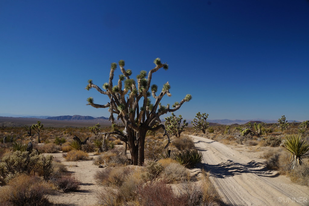
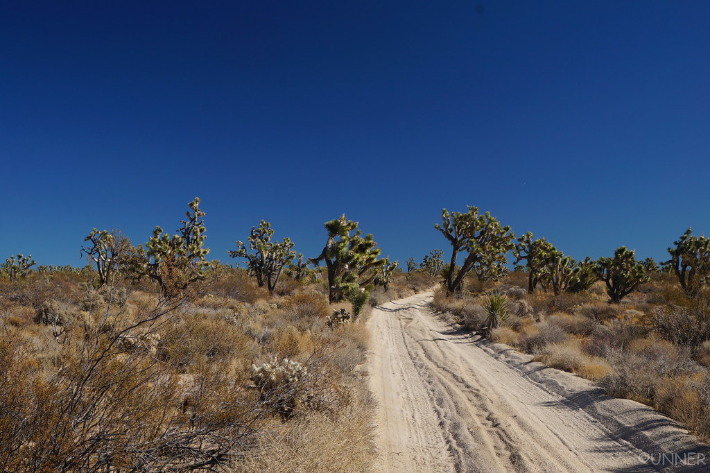
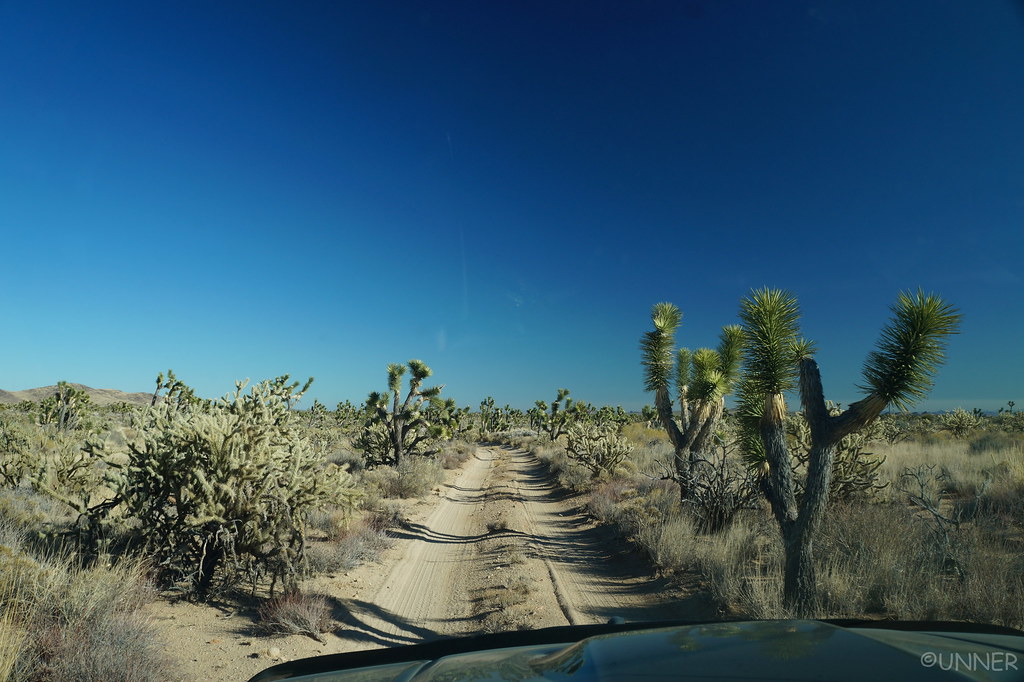
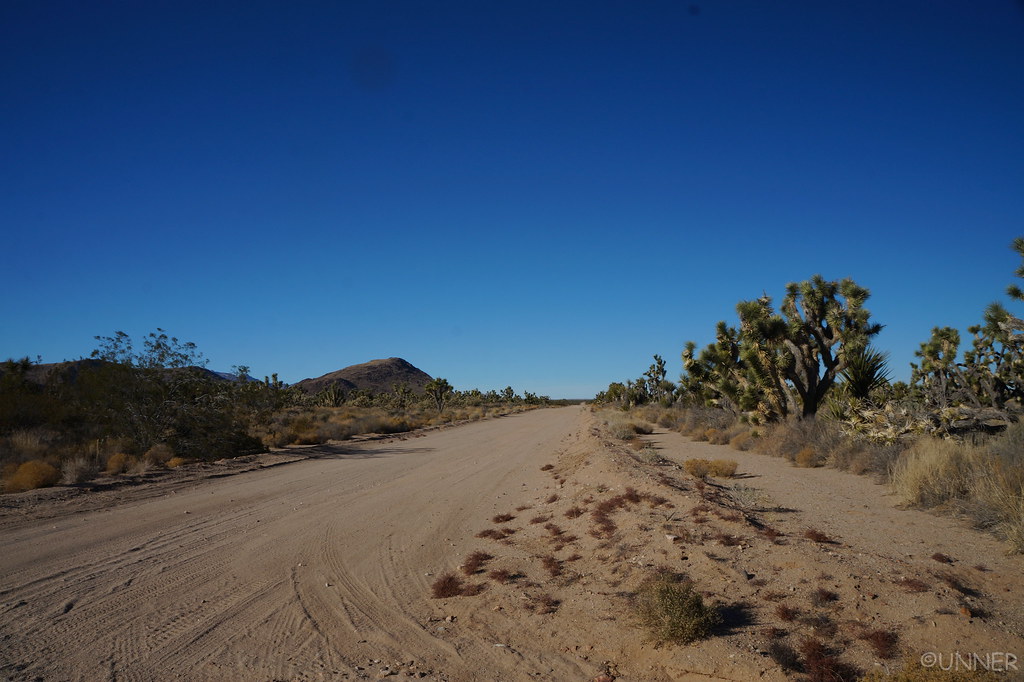
Trail finding became much easier on this day, as the majority of the trail is wide enough for only one vehicle. Joshua trees were starting to become more abundant as well.

DSC01449 by Unner Unner, on Flickr

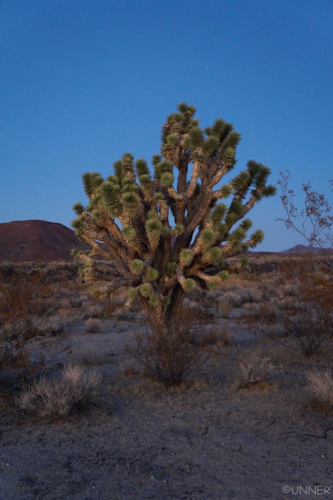
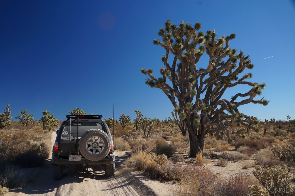
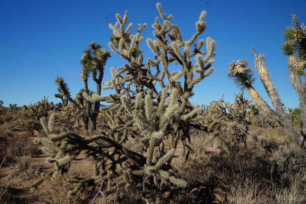
Some of these trees get pretty big and crazy looking. I want one.

DSC01450 by Unner Unner, on Flickr

DSC01452 by Unner Unner, on Flickr

DSC01456 by Unner Unner, on Flickr

DSC01458 by Unner Unner, on Flickr

DSC01460 by Unner Unner, on Flickr

DSC01462 by Unner Unner, on Flickr

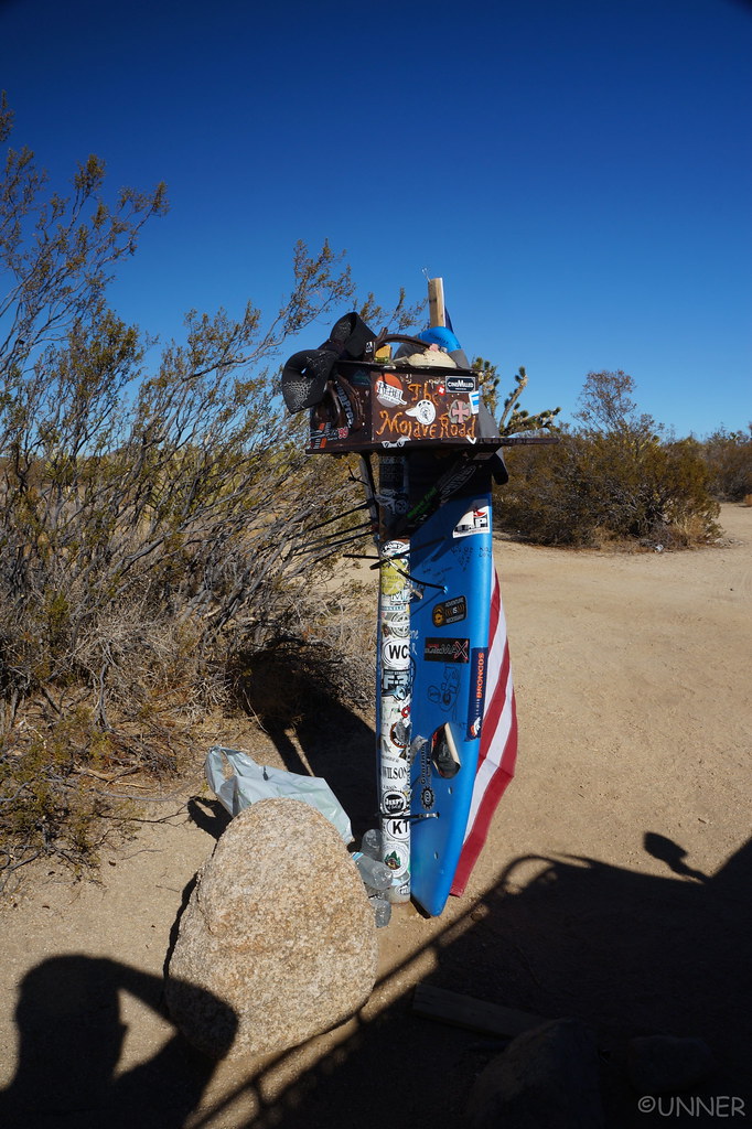
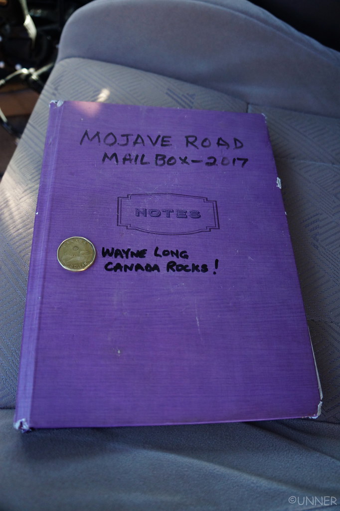
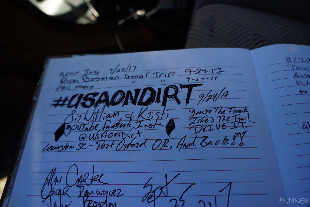
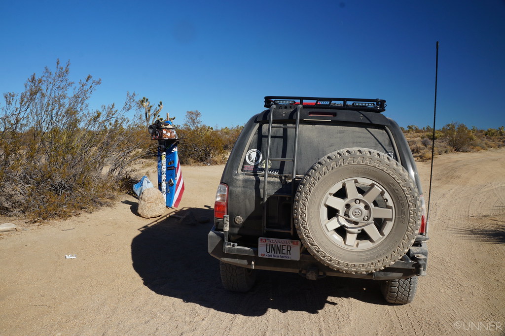
We made it to our next stop, the Mailbox where we signed in, just as we had done at the travelers monument.

DSC01463 by Unner Unner, on Flickr

DSC01465 by Unner Unner, on Flickr
[MENTION=95539]SirWilliamGoes[/MENTION] I opened the book and immediately flipped to this page and recognized the name from this forum and your posts about your travels across the country.

DSC01467 by Unner Unner, on Flickr

DSC01473 by Unner Unner, on Flickr

DSC01473 by Unner Unner, on Flickr

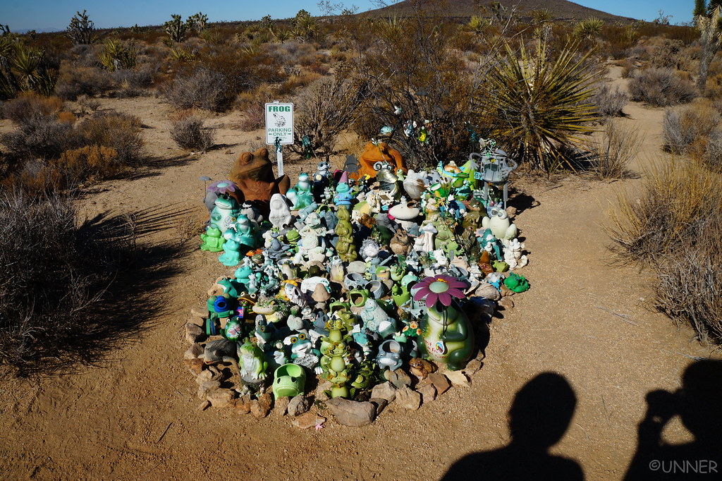
The shrine of frogs.

DSC01476 by Unner Unner, on Flickr

DSC01479 by Unner Unner, on Flickr
 
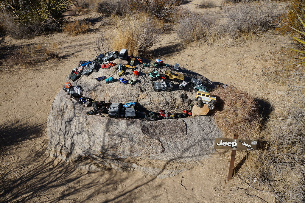
It’s a Jeep thing?

DSC01481 by Unner Unner, on Flickr

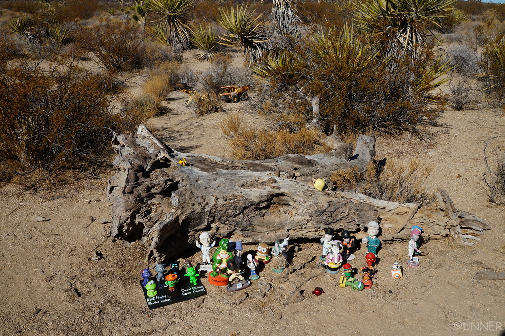
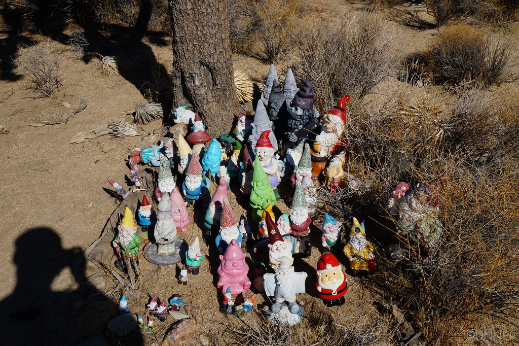
And some gnomes.

DSC01483 by Unner Unner, on Flickr

DSC01487 by Unner Unner, on Flickr

DSC01489 by Unner Unner, on Flickr

The road opened up, and we descended for a pretty good ways. Since I shut the engine off at the Mailbox the Scangauge reset my MPG calculation. I was getting something like 60 MPG at the bottom of this descent!

Once again, we got stuck in the whoops. Going real slow through them was painful because of how long it would take, and anything over 25 mph was painful, because I would blow through my shock travel and the stuff would fly everywhere…

DSC00965 by Unner Unner, on Flickr

We came upon our first people of the day here in the whoops. I rolled down the window and asked if there was anything we should know about up ahead, and if the trail was open all the way through. They said everything was good and the trail was open now. According to the internet it had been closed due to water damage or something like that.

We continued down the trail, and got a little bit turned around somewhere. We were driving in what looked like a dry creek bed or floor area. The shrubs kept getting closer and closer until they were basically the trail, at this point the GPS showed we were pretty far off the track so we backtracked and found the turn we had missed. This turn took us straight to Watson Wash.
I had heard this was the most challenging part of the trail, but had watched several videos of people going through it recently and it didn’t seem that bad. I was wrong… Most people go east to west on this trail, which means they get to go down Watson Wash, and don’t have to go up. Going down you only need gravity, going up you need enough traction to overcome gravity…

DSC01505 by Unner Unner, on Flickr

DSC01508 by Unner Unner, on Flickr

DSC01509 by Unner Unner, on Flickr

My girlfriend got out of the truck to try and spot me as I lined up. I put it in 4Lo and gave it a shot. Nearly instant wheel spin. Everything was very sandy here so I was just digging holes. I backed up and tried a different line. More wheelspin…

I backed up again and tried to hug the side as best I could to try and get some sort of grip. Nope, just more wheelspin and then I threw a roostertail from the front tires into the truck…

This part of the trail is extremely flexy too. If I had lockers I could have made it up this I’m sure but being open/open and solo I decided it was best to back up and take a detour I had found on the map. I think if I could have made it up this I could have made it up the rest because it wasn’t as sandy, but I did not want to break a CV out here. So I swallowed my pride and turned the ship around.

DSC01510a by Unner Unner, on Flickr

DSC01512a by Unner Unner, on Flickr

DSC01513 by Unner Unner, on Flickr

DSC01515a by Unner Unner, on Flickr

DSC01516 by Unner Unner, on Flickr

Now we passed through a very dense forest of Joshua Trees.

DSC01523 by Unner Unner, on Flickr

DSC01525 by Unner Unner, on Flickr

DSC01527 by Unner Unner, on Flickr

There were some fairly open stretches here.

DSC01530 by Unner Unner, on Flickr
 
Next stop was the Penny Tree. We left a penny here as per tradition.

DSC01532 by Unner Unner, on Flickr

DSC01534 by Unner Unner, on Flickr

DSC01536 by Unner Unner, on Flickr

DSC01542 by Unner Unner, on Flickr

We went a little farther and then took a wrong turn and ended up in a creek bed that was very silty. I was worried we’d get stuck in there, but we worked our way out and got back onto the trail.

And then we stopped at the Old School Bus. I think there is supposed to be an old car here too, but it didn’t seem to be here anymore. Vandals had also messed with this huge Joshua Tree. People are the worst.

DSC01548 by Unner Unner, on Flickr

DSC01551 by Unner Unner, on Flickr

DSC01553 by Unner Unner, on Flickr

DSC01557 by Unner Unner, on Flickr

Further down the trail we heard airplanes, two Osprey passed overhead which was pretty neat. You can barely see them in the first two pictures below.

DSC01563 by Unner Unner, on Flickr

DSC01564 by Unner Unner, on Flickr

DSC01559 by Unner Unner, on Flickr

DSC01565 by Unner Unner, on Flickr

DSC01570 by Unner Unner, on Flickr

At this point we were getting fairly close to the end of the trail, but it’s a long trail so we still had a few hours left.

DSC01574 by Unner Unner, on Flickr

DSC01576 by Unner Unner, on Flickr

DSC01581 by Unner Unner, on Flickr

Lookin good.

DSC01584 by Unner Unner, on Flickr

Coming down this descent there were a couple spots where the road was washed out pretty good, and was a little sketchy, unfortunately I wasn’t able to get pictures of this. A little further down the trail we found a sign that was no longer standing that said something like “Road Closed”. Ooops… There were no signs in our direction so we had no way of knowing.

DSC01585 by Unner Unner, on Flickr
 
Now the road really opened up and we were making up ground fast.

DSC01586 by Unner Unner, on Flickr

DSC01587 by Unner Unner, on Flickr

DSC01588 by Unner Unner, on Flickr

The trail turned off of this wide road, and into a much slower trail as the sun started to get low.

DSC01589 by Unner Unner, on Flickr

DSC01591 by Unner Unner, on Flickr

DSC01592 by Unner Unner, on Flickr

We crossed back into Nevada now. This was probably the coolest state line marker I’ve seen.

DSC01596 by Unner Unner, on Flickr

DSC01595 by Unner Unner, on Flickr

DSC01597 by Unner Unner, on Flickr

DSC01598 by Unner Unner, on Flickr

DSC01594 by Unner Unner, on Flickr

DSC01600 by Unner Unner, on Flickr

From here on out the trail seemed to be all downhill and was going through some soft sand which was fun to drive through. No real good pictures as we were racing the sunset at this point.

DSC01603 by Unner Unner, on Flickr

DSC01608 by Unner Unner, on Flickr

We started seeing people again for the first time in a couple days at the campsites that were fairly close to the highway. There was still another 2 miles or so of the Mojave Road left, so I decided to stick to it, and we would ride the trail all the way to the Colorado River. From the most Western end to the most Eastern end.

I pulled up to the highway we had to cross and turned on my turn signal. We both looked at each other, thinking that the turn signal sounded very strange. None of the lights were burnt out, and there were no other issues, I think we had just forgotten what they sound like after over 100 miles of desert. The rest of the trail was gravel roads that went around a couple farmers field, and then spit you out right along the Colorado River. The sun was setting, and we had covered exactly 140 miles, in right around 12 hours that the GPS was recording.

DSC01611 by Unner Unner, on Flickr

DSC01612 by Unner Unner, on Flickr

DSC01614 by Unner Unner, on Flickr

DSC01617 by Unner Unner, on Flickr

We drove into Bullhead City to get gas and air up. After this we stopped at a grocery store to grab a couple supplies, and then we hit the road towards Las Vegas. She loves Las Vegas, and the night before we happened to have signal at the campsite so we were able to grab a room at the New York New York for cheap.

We showed up to Vegas covered in dirt not having showered in several days, in a completely dust covered 4Runner. Perfect. After taking a much-needed shower we grabbed food and explored the area around our hotel. It was a little bit different than where we had spent the previous few nights, believe it or not…
 
[MENTION=95539]SirWilliamGoes[/MENTION] I opened the book and immediately flipped to this page and recognized the name from this forum and your posts about your travels across the country.

DSC01467 by Unner Unner, on Flickr


Thats Awesome!!! Your trip looks awesome too! When you were at the travelers monument was the rock with the USAonDirt sticker still up top? It would be in your picture of the plaque most likely. I was surprised about the Chevy too, as I saw the same note when I was there last year. What Im really surprised about is the fact that all that stuff never gets wet!! Did you go through the big water crossing? Las Vegas is like the trophy for overlanding the Mojave Rd!! Each time I have gone on the Mojave Rd I end up in Vegas. I need to do the road in its entirety one day as I have never seen the school bus both times that I went. Great photos!!
 
I really enjoy reading and seeing your journeys. One day, I hope to travel the same way, with no worries and enjoying the view.

Nicely built rig also. You are one of the reasons I am switching to 255's.
 
[MENTION=95539]SirWilliamGoes[/MENTION] I opened the book and immediately flipped to this page and recognized the name from this forum and your posts about your travels across the country.

DSC01467 by Unner Unner, on Flickr


Thats Awesome!!! Your trip looks awesome too! When you were at the travelers monument was the rock with the USAonDirt sticker still up top? It would be in your picture of the plaque most likely. I was surprised about the Chevy too, as I saw the same note when I was there last year. What Im really surprised about is the fact that all that stuff never gets wet!! Did you go through the big water crossing? Las Vegas is like the trophy for overlanding the Mojave Rd!! Each time I have gone on the Mojave Rd I end up in Vegas. I need to do the road in its entirety one day as I have never seen the school bus both times that I went. Great photos!!

Thanks man! I didn't notice a rock with your stickers on it, but it's possible that it was still up there. I looked through all my pictures and didn't see it either. I did go through the river crossing. There's a few details about it a couple posts before the one I tagged you in. I have a dashcam video and a video of some military vehicles crossing it, but I couldn't get flickr to cooperate with me on uploading them. I don't have a Youtube account, but I might make one and put the videos up there.

I never thought about the stuff getting wet, I guess it rains so little they don't worry about it at all. I definitely recommend doing the entire trail. We did the whole thing in 2 days, so we were slightly rushed, but it's an awesome experience. All 140 miles of it.

I really enjoy reading and seeing your journeys. One day, I hope to travel the same way, with no worries and enjoying the view.

Nicely built rig also. You are one of the reasons I am switching to 255's.

Thanks man! It's awesome travelling and seeing what all the country has to offer. Especially when you live on the eastern side where everything looks almost the same. Best advice is when you have the time to make a trip, make the trip. You won't regret it.

Thanks for the compliments on the truck too. I'm not doing much more "building" of it these days, but trying to use it as much as I can. The 255's are great. I plan to stick with this size tire. With the supercharger on your new rig it should move pretty quick (relatively) with narrower lighter tires.

You're making me late for work reading this awesome trip report! :bravo:

Haha I'm sure the boss will understand. Thanks for reading!

Awesome!!! I want more!!!!!

I should in this area next winter. This gives me excellent ideas. Thank you so much for sharing.

Ask and you shall receive. Sometime tonight or tomorrow the rest of this trip should be posted including Death Valley, Alabama Hills, and the Grand Canyon. Glad I can help you plan out a future trip.

I'm glad you guys enjoy reading these. It's nice to share them, and it's nice to have a written story about what happened when we look back on these trips in the future.

Later this week I will be leaving on another trip, this time heading to Wisconsin first, and then west from there towards Montana, Wyoming, Idaho, and hopefully Washington and Oregon.
 
Thanks man! It's awesome travelling and seeing what all the country has to offer. Especially when you live on the eastern side where everything looks almost the same. Best advice is when you have the time to make a trip, make the trip. You won't regret it.

Thanks for the compliments on the truck too. I'm not doing much more "building" of it these days, but trying to use it as much as I can. The 255's are great. I plan to stick with this size tire. With the supercharger on your new rig it should move pretty quick (relatively) with narrower lighter tires.

A 4 year old keeps us close to home for the time being, but I have it on my bucket list to visit the west coast. I am currently in Kentucky, but grew up just outside of Huntsville, so I know how it is when everything looks the same.

As for the S/C, it is actually coming off. I personally have no need for it and its just something else to add to the "possible failure" category if I am wheeling....tensioner fail, belt break, nose cone bearings, etc. Also 93 octane just adds to fuel cost and in my opinion worse mpg since you are forcing more air in which requires more fuel. So off it is coming and other needed upgrades will be going on.
 
Last edited:
A 4 year old keeps us close to home for the time being, but I have it on my bucket list to visit the west coast. I am currently in Kentucky, but grew up just outside of Huntsville, so I know how it is when everything looks the same.

As for the S/C, it is actually coming off. I personally have no need for it and its just something else to add to the "possible failure" category if I am wheeling....tensioner fail, belt break, nose cone bearings, etc. Also 93 octane just adds to fuel cost and in my opinion worse mpg since you are forcing more air in which requires more fuel. So off it is coming and other needed upgrades will be going on.

Where at around Huntsville? I live in Madison, but just put Huntsville down since it's the nearest bigish city.

Fair enough. I would like a supercharger, but the increase in fuel cost and another point of failure keep me from doing it, that and the price... I'd probably only run one if I found it really cheap, or if I end up getting a daily driver and the 4Runner becomes strictly a toy.
 
Ask and you shall receive. Sometime tonight or tomorrow the rest of this trip should be posted including Death Valley, Alabama Hills, and the Grand Canyon. Glad I can help you plan out a future trip.

(...)

Later this week I will be leaving on another trip, this time heading to Wisconsin first, and then west from there towards Montana, Wyoming, Idaho, and hopefully Washington and Oregon.

I can't wait to read the rest.

I am preparing my next trip for the end of summer to beginning of October, for 6 weeks. I will be in Idaho, then around Lake Tahoe, Yosemite, and High Sierra including Alabama Hills. I am really curious the see where you will end up. Hopefully, you will have time to post your trip report before I leave (no pressure...!!!).
.
 

Members online

Forum statistics

Threads
278,316
Messages
3,554,120
Members
248,016
Latest member
Advally Service

Trending content

Back
Top