Here's another vote for
BackCountry Navigator
I just spent a week hiking in Glacier and Yellowstone Natl Parks. Glacier had no cell reception once you're in the park 100 yards past the west entrance. Yellowstone had towers in odd places, but rarely any good data coverage. I used the free 21 day trial of this app since I wasn't sure about dropping $12 on an unknown app. It is worth it for anyone who finds themselves off road or trail on a regular basis.
The app has the ability to select different source maps varied in content, driving, hiking/trail maps, topo maps, etcetera. There is also the ability to download areas of these maps to a folder on the device for use when data service isn't available. You can even select the max zoom/detail level on the maps you're downloading. Downloading different source maps for the same area isn't a problem either. Downloads do take up some space, remember you're downloading enough detail to zoom into about 100 yards. My entire download for the Glacier NP and surrounding areas was about 2500 square miles and took about 2.1gb. The Yellowstone download was closer to 5gb, but covered a larger area including Teton NP as well. The app also has the ability to record your track along the trail, although I didn't play with this feature. There were many other features which I didn't fiddle with or touch upon because I was paying more attention to scenery than location.
For the cell signal naysayers, I used the phone with everything on several times, and noticed the battery draining and an alarming rate. I dragged my battery to 20% in about 4 hours of hiking with the screen almost always off. Normal drain to get that low is 6.5 hours of playing idiotic games and scrolling Facebook. For the rest of the trip I put the phone in airplane mode (no cell signal, wifi, or bluetooth) and was still able to receive GPS signal just as accurately, but with better battery consumption. It only drained to 40% in 4 hours. The phone is an LG G2, so not even current tech!
I had with me a Dual SkyPro XGPS160 which I intended to use, but never needed because the location depicted on the maps was pretty correct. Any time the phone GPS placed me off the trail, I just had to walk about 10 paces down the trail and my track would be back on.
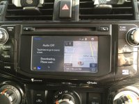
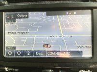
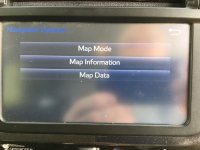
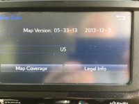
Back on topic, apparently one can copy the data from a card to another as long as they are both formatted FAT32 (as per ToyotaNation forums), just make sure you copy all files including system and hidden. The trouble is getting your hands on a newer card to copy files from. The only idea comes to mind here is to "borrow" one from a vehicle on the showroom floor next time you're in for service with your laptop, and return it as soon as you've copied to your hard drive. There are also apparently people via eBay who have the updated data and are selling it on the cards for $25+.